
Day 5: Lagunas de los Tres
The sun was shining and the skies were clear by the time we finished breakfast. We set off with Eras and two other guests to the Lagunas de Los Tres hike. The hike started about 10 minutes from the hotel and were on the way. The hike was located in El Parque de los Glaciares, a 700,000 hectare area. The first 6 miles was relatively flat through the foliage. Along the way, we saw a humul having a snack, and could see the Fitz Roy range and surrounding mountains and glaciers.

Off we go!

Where is the ticket counter?

View of Fitz Roy and East Glacier

Dad points at an Andean deer
Because today was a clear day, many people were on the trail along with us, including another group from Explora that we caught up with a few times. There were also some good lookout points along the way, and even some where we could see our route in the distance.

More amazing views along the way

The trail in the middle of the red hill is our route
The main, and most difficult part of the hike was the 1 km, 1200 ft of elevation gain to get to the lake of Mt. Fitz Roy. We first crossed the Rio Blanco on a log bridge that led to glacial moraine rock field. We stopped to have a snack, refill water in the river, and get ready to make the ascent. We also may have asked how much was left in the hike too many times.

Crossing the Rio Blanco
We entered the forest where there were campgrounds and continued up. Much of the trail was an old river bed, with rocks of various sizes and slipperiness. We could see hikers way up at the top of the ridge for motivation, though eventually figured out that was not actually the top.
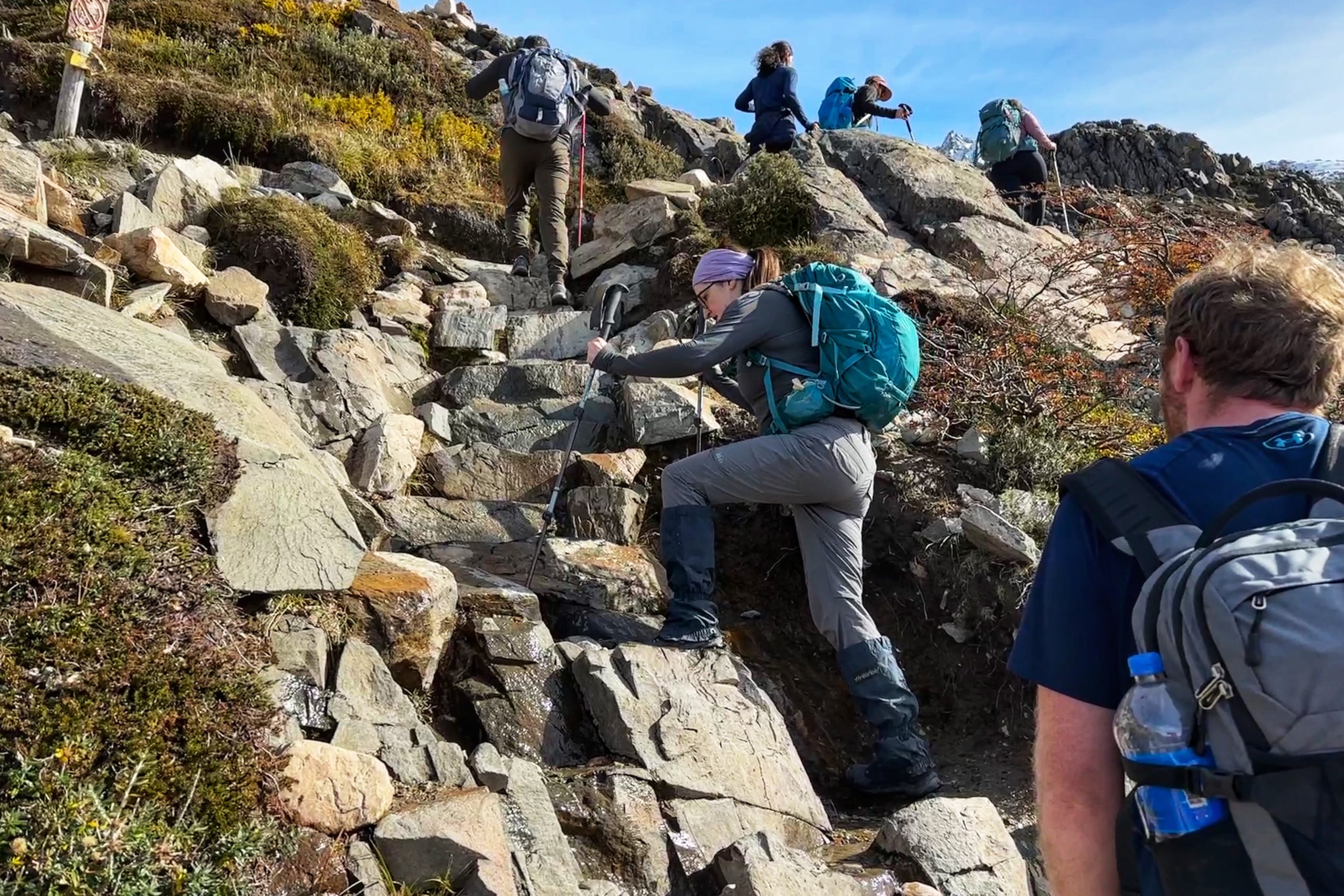
Up, up, up

Made it to the t—- nope, thats another ridge
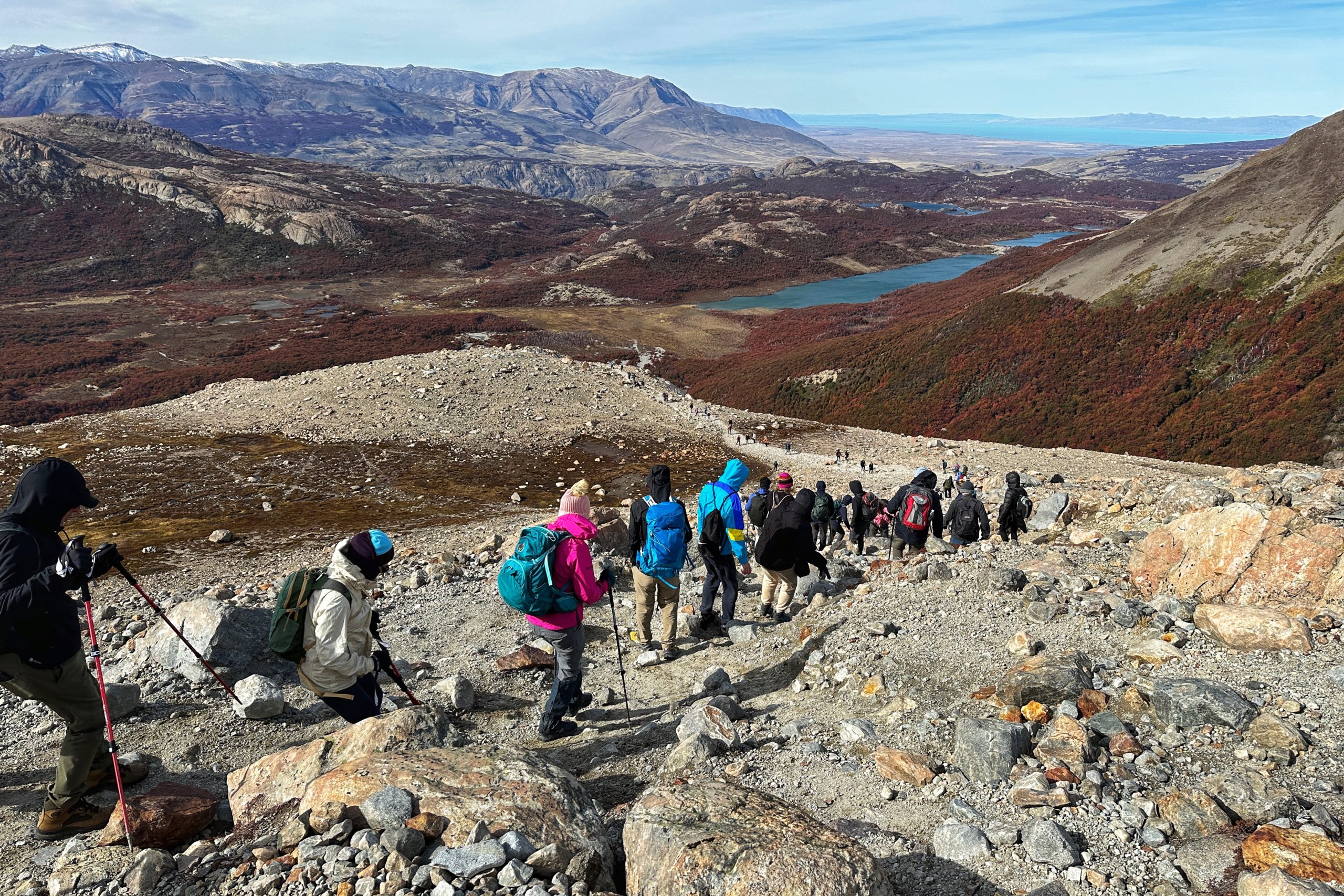
We slowly and methodically made our way to the actual top for a stunning view of the Laguna at the base of Mt. Fitz Roy and the towers. After catching our breath we enjoyed lunch with a view.

Mom did not enjoy the climb

We all enjoyed the view
After taking in the view and nutrients, we started the steep decent all the way back down. Fortunately, many of the hikers had already either made their way up or came down before us, so there wasn’t too much traffic on the trail. Once we were back down, we found an area a little off the trail for another needed break. The route back to El Chaltén was another 6 miles along the trail, though mostly either flat or downhill.
Starting the descent

Careful on those steep parts

Bringing the chair was worth it!
The hike back provided some views of Fitz Roy from the other side. We looked back at where we were to find we had great timing as the towers had some cloud cover.

Happy the clouds showed up after we left

View of the valley on the way down
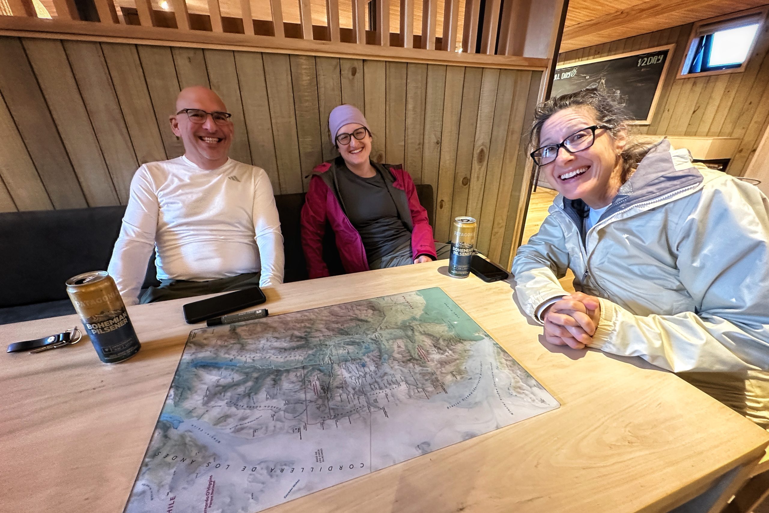
Near the end, we took a break at Laguna Capri to recharge for the last hour of hiking. We made it back to the van at our ending point and celebrated with snacks and drinks. The drive back took about 45 minutes and we arrived around 6:45. With 2800 feet of total ascent, 13 miles and 9 hours, we were ready to relax and have dinner. But first, we had to pick our hike for tomorrow. Mom, Dad, and Jo decided to take a rest day at the hotel tomorrow while Matt picked a hike.

I see El Chaltén!
Excited to pick a rest day
Good grief! The scenery just doesn’t stop! Just stunning! Sooo beautiful. Have to give credit to Pam and Jim for making this trek (but I think I’m with Pam’s photo ‘assessment’ on this one – lol!) Many years ago, we climbed a steep, but much shorter rock glacial moraine in Glacier and it was a killer – so can’t imagine this one. And how incredible the sights as you descended – what a gift. I suspect that a day’s rest is well deserved. BTW – is there any history on how this Mount Fitz Roy became the logo for Patagonia?