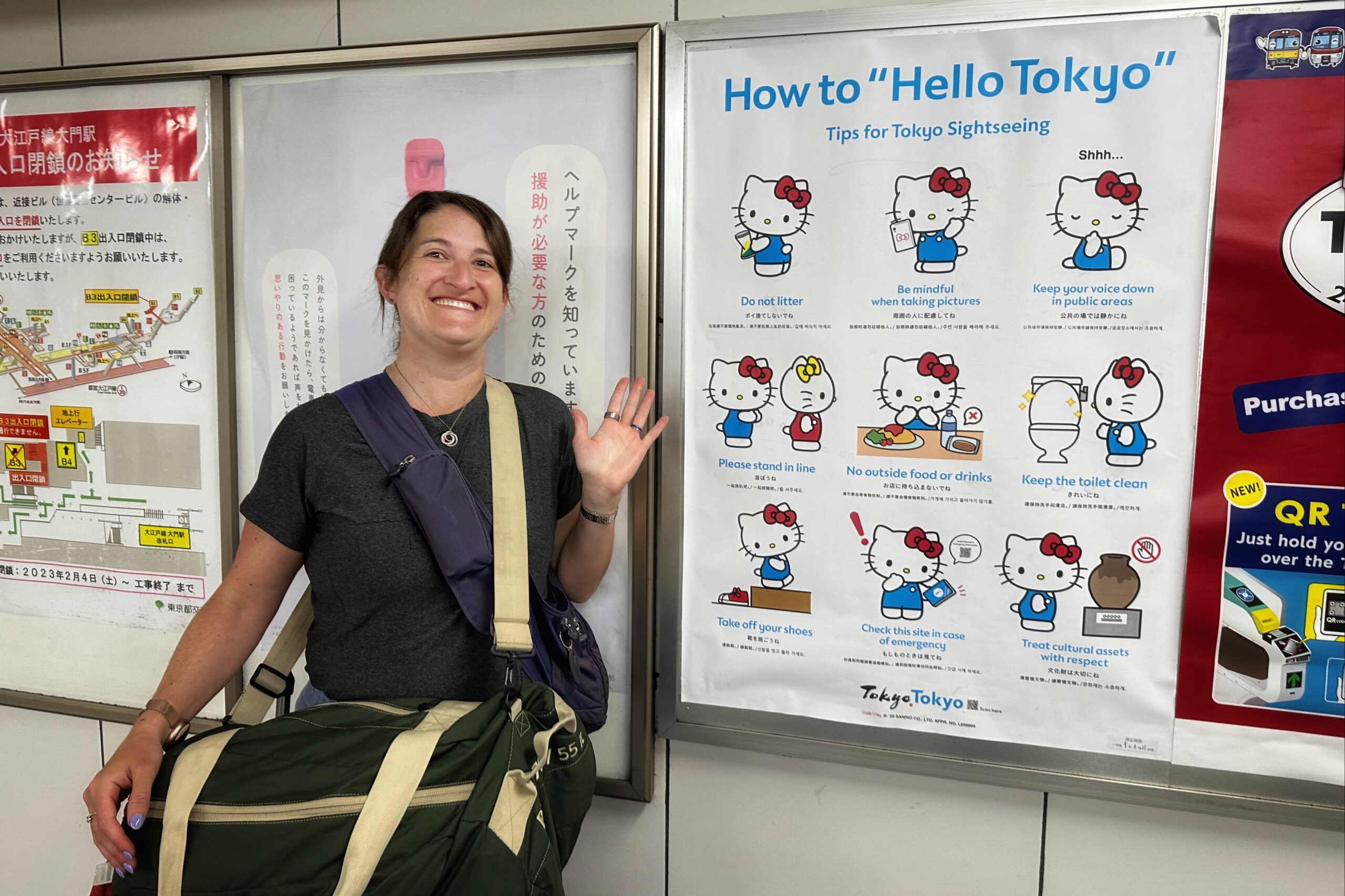
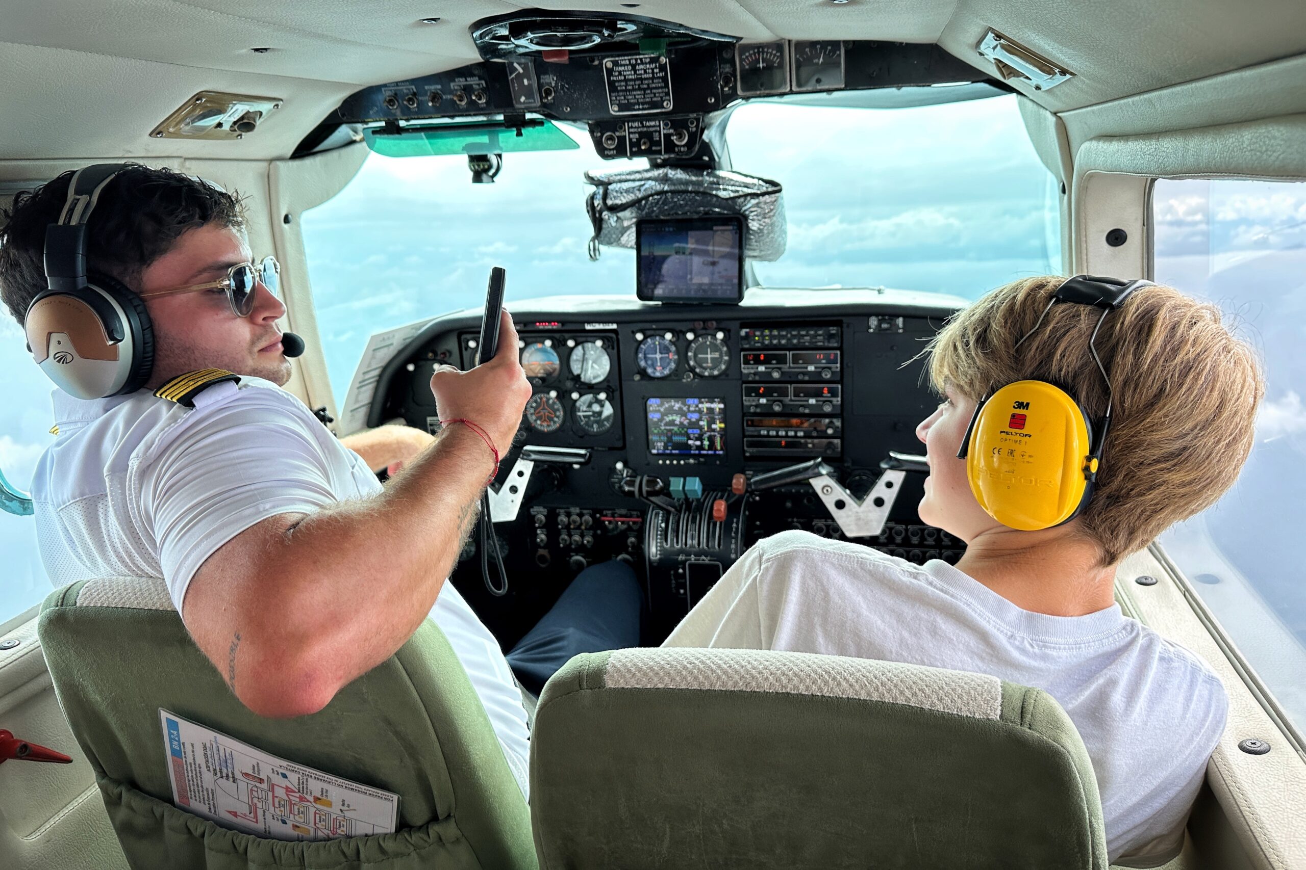
Day 2: Shinjuku
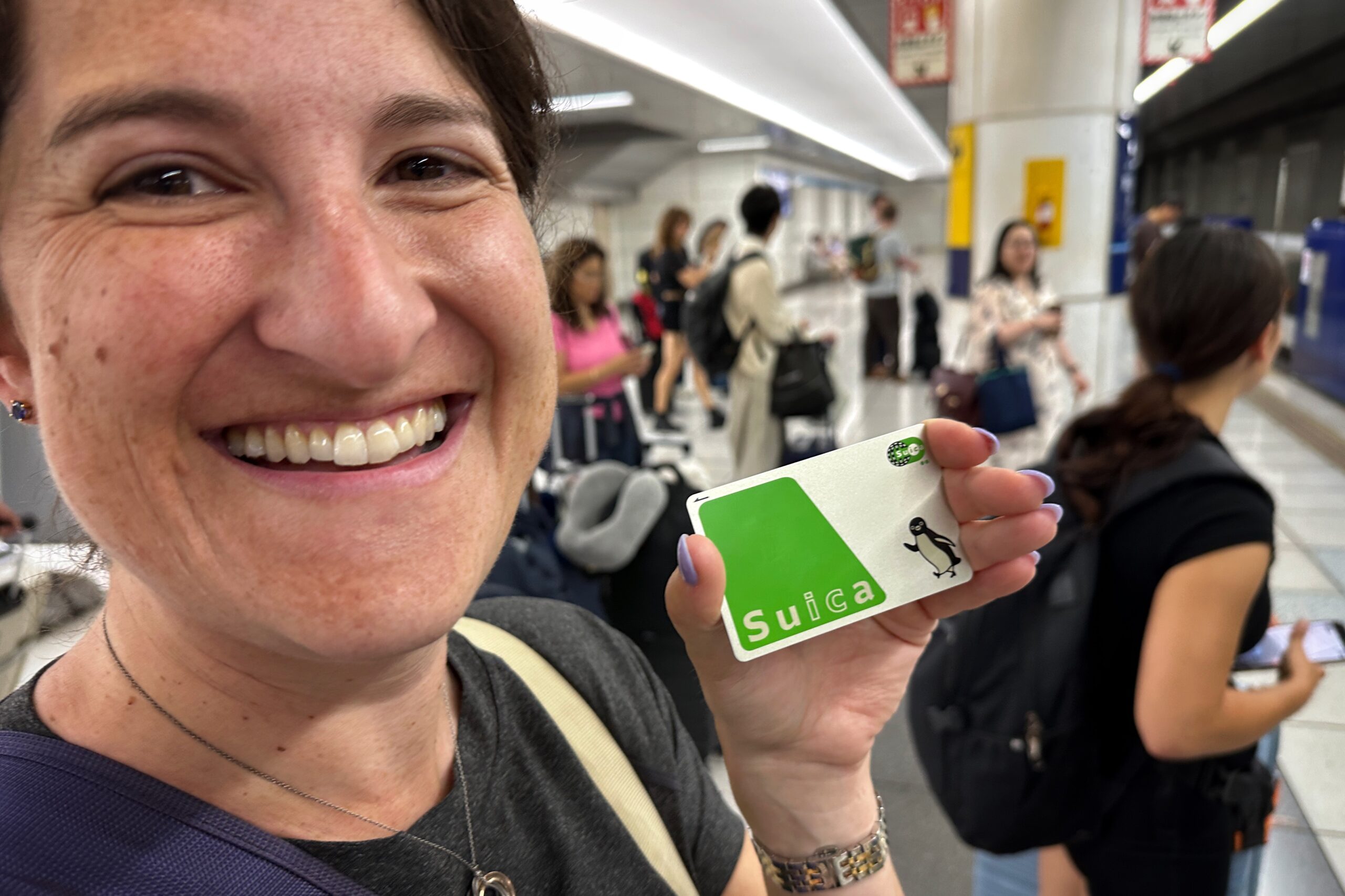
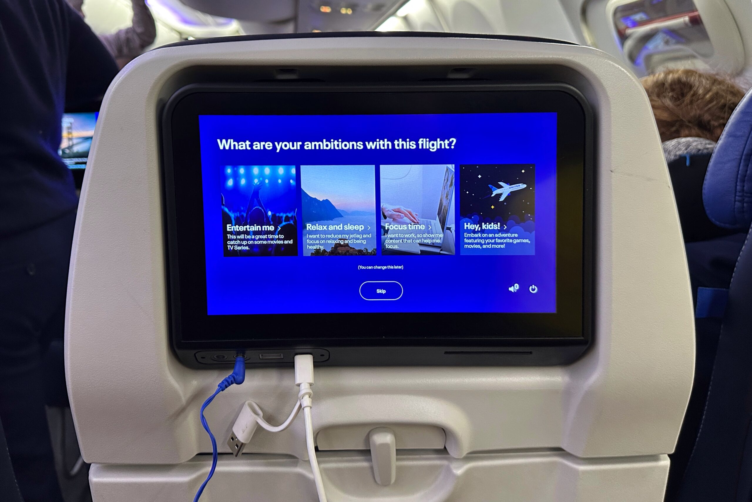
The day after a trans-pacific flight, we thought we did pretty good by getting up at 7:15 am! But by this time, the Corindas already woke up, got breakfast at 7-11, walked to the Radio Tower Park near the hotel, and then — “for fun” — Cordwood went on a run. Impressive! Meanwhile, we got ourselves ready and headed down to the lobby for coffee and a breakfast of the hotel’s complimentary squid crunchy peanut snack mix. The Cordinas met us and we headed off to the train.

Shiba Park Hotel IS really nice!
The first stop of the day was Meji Jingu Shrine. The train stations were much more crowded this morning as it was rush hour on a weekday. A quick visual survey confirms the locals all know how to pass the time on their phones — playing cat games, watching boy bands on YouTube, and watching anime and Friends.
The Meji Shrine is located in a forest within the city. You can walk through the temple gates and wander the paths. We also saw a display of sake and French wine. During the Meji period, the people were somewhat taken by European influences, hence the French wine.

Meji Jingu Shrine

Sake in the Shrine

Shimenawa (hemp ropes) and Shida (paper bolts) at Meiji Jiingu
After viewing the sanctuary, we went to the gift shop and cafe. First, from the gift shop, we picked up a magnet of Maneki-neko (aka. waving cat), an iconic Japanese figurine believed to bring good luck, wealth, and prosperity, etc. Plus, this particular Maneki-neko has a cat as a hat, so that must be some kind of extra luck multiplier.
The second item was a special matcha ice cream cone. How it was different than the regular matcha cone, we have no idea. But it was certainly special on this very hot morning. Also confirms that Jo does actually like Matcha — at least in ice cream form.

Lily is a fan
Next on the agenda was the Studio Ghibli Museum. We had more than enough time to get there for our noon entry, but we figured might as well head in that direction. We walked back from Meji Jingu to the train station, and hopped on the train. When we reached the stop, there was a bus, but the walk was only 20 minutes, so we took a stroll.

First of many vending machines
As we made our way towards the museum, we found a Don Quijote store, famous for cheap snacks, souvenirs, and all sorts of other random crap. We were on a mission to find nail clippers – something we heard are amazing in Japan. After scouring the aisles, we found a few options. We added tweezers to the haul and moved on to the snack section.
Cordwood and Charles found strawberry KitKats, a liter of Fanta and some wild energy drinks branded “X-ASAP Synergy.“ The synergy was obviously because all the cans featured anime characters. The engery, while effective, remains a mystery because the cans said the drinks were caffeine-free and the rest was in Japanese.

To dream the impossible dream of shopping in Japan
Sad news… shopping took a while, so there was no time to visit the nearby Capybara Cafe! But now that we know such a place exists, we will keep it in mind for a later date.

Turns out the old ladies were nearly running us over
We continued walking through a park to get to the Ghibli Museum. We were there about 10 minutes before our entry time, but they let us in. We made it into the covered ticket line right as it started raining. Good timing!

Hottest ticket in Japan

Our friend Totoro
The building is fantastic and whimsical, much like a Studio Ghibli movie. The exhibits included displays on how animation works, art, and a screening of an original Ghibli short film (we saw Monmon the Water Spider which is about a diving bell spider who falls in love with a water strider). Eventually we made our way onto the terrace for lunch at the Straw Hat Cafe. Two sandwiches and two ice cream floats later, and we were ready for the next stop on the agenda.

All those cabin Ghibli movies paying off!

Mitaka neighborhood street art
We had a food tour scheduled for 5:15 in the Shinjuku area, so we headed to that area of the city by train and hit a few stores we had in mind. First was Onitsuka Tiger. Our youth correspondents Lily and Melanie said this is a popular shoe store store. Jo, Lily, Mel, and Cordwood all bought a pair while Charles and Belinda went to the claw machine arcade.

Jo’s new kicks

The correct yellow Kill Bills

New Onitsuka Tigers owners
With our footwear purchases secured, we sought our next objective: the Suica penguin store. Fortunately, this store is located in the Shinjuku station. We managed to navigate the maze that is the mall/train station/supermarket and found the store. A few penguin souvenirs later and we were on our way.
We completed all our shopping and agreed a hydration break would be nice. We found the Starbucks designated as the meeting point for our food tour and grabbed ourselves some yuzu and peach-based refreshments. At 5:00 pm our food guide Ken arrived and we were off to eat some local dishes.
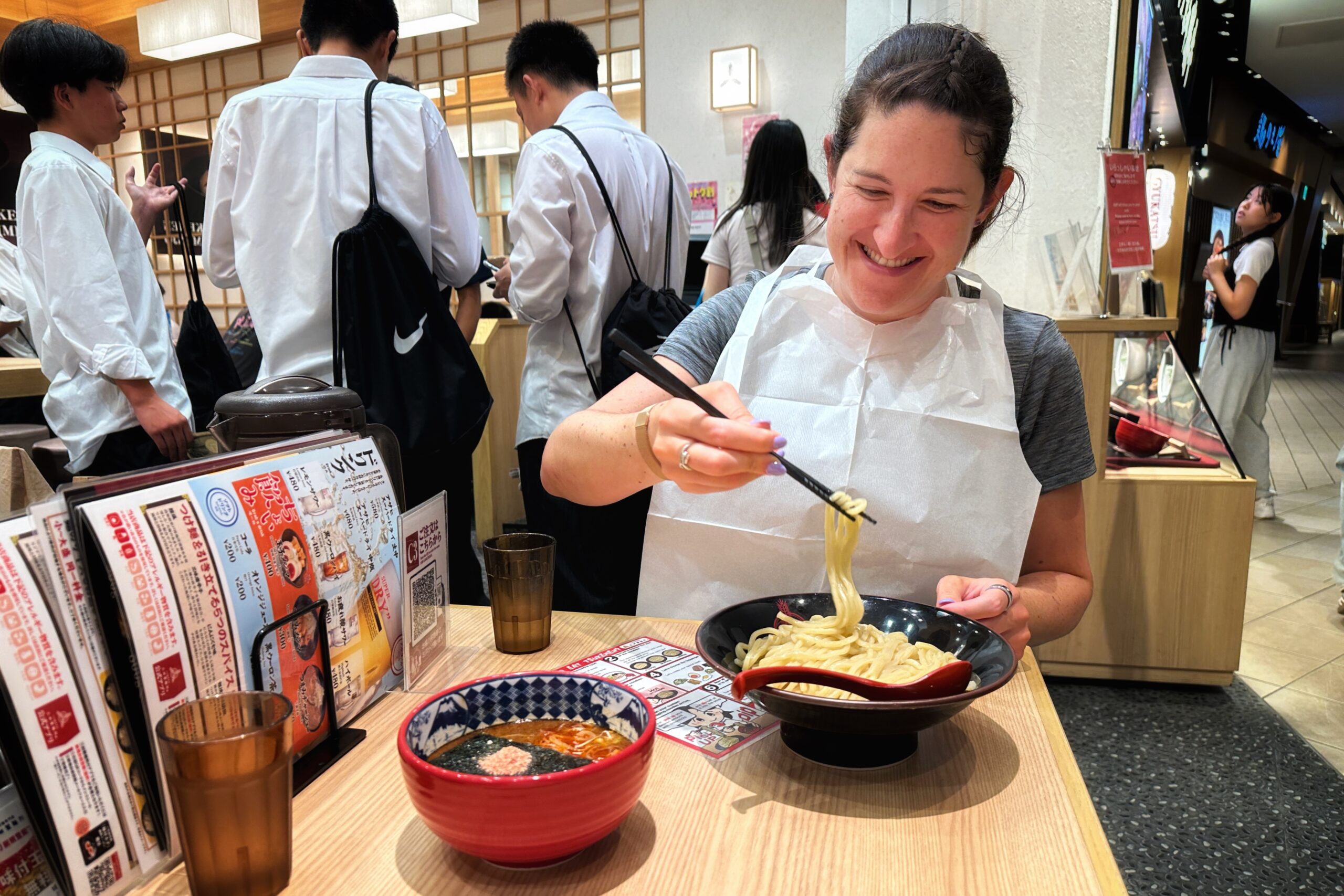
The first restaurant was called Nanjamonja. We sat on pillows around low tables with flattop grills (DIY Ron of Japan!). We prepared two types of Japanese “pancake” dishes. First, monjaykai, a mix of cabbage, beef, flour, water, and seasoning. Ken said during the war, when there were no writing utensils, preparing this dish on the grill would also be used as an opportunity to help teach kids how to write their letters. So, the alphabet soup of Japan.

Food Tour stop one for Monjayaki and Okonomiyaki
The second dish was okonomiyaki, a similar mix, but this time with pork, squid, shrimp, egg, cabbage, and, flour. We mixed it up and cooked it on the grill in pretty much the same way as the first dish. Ken showed us how to use the toppings like barbecue sauce, mayonnaise, fish chips, and seasoning. When we finished our food and drinks, we moved on to the next stop.

Preparing the Monjayaki
Before going to the next restaurant, we stopped at a photo booth business to partake in some Shinjuku youth culture. One entire floor of this building was dedicated to multiple, large photo booths with the most ridiculous software filters. There are also costume rentals, changing rooms, and vanities to prepare your whole hair and makeup look for the booths. Worst case, the hair irons are somewhat useful until to venture back outside into the humidity!

Wild photo booth cultural pit stop
The next stop was Izakaya, a pub with a bunch of chicken-related food options. We stuck to the fried and skewered varieties. This place was certainly less traditional than the first, but just as good. It was very popular with tables filling up quickly as people left work to start their Friday night.

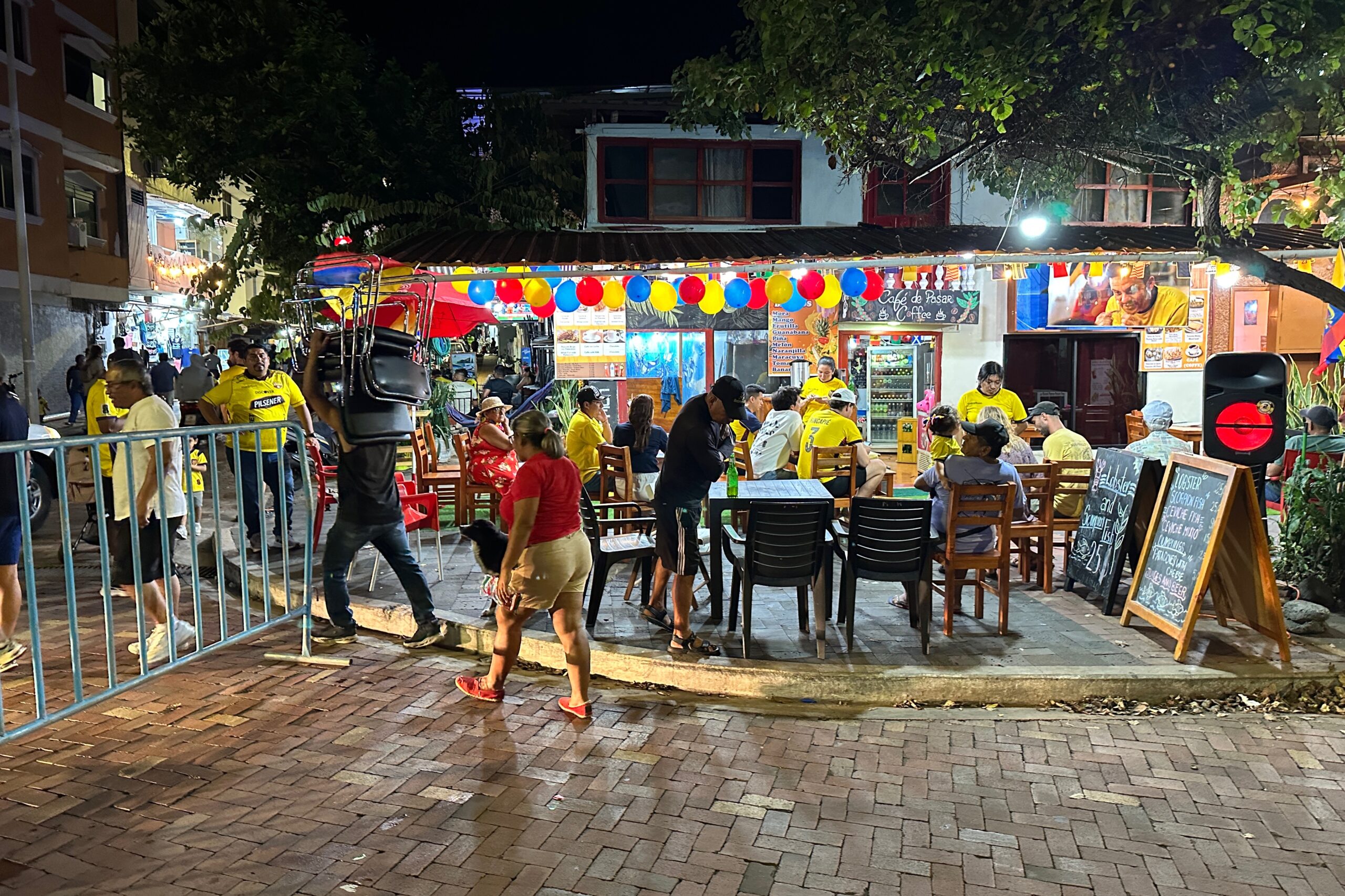
Shinjuku by night Part 1

Shinjuku by night Part 2

Food tour stop two for Yakatori
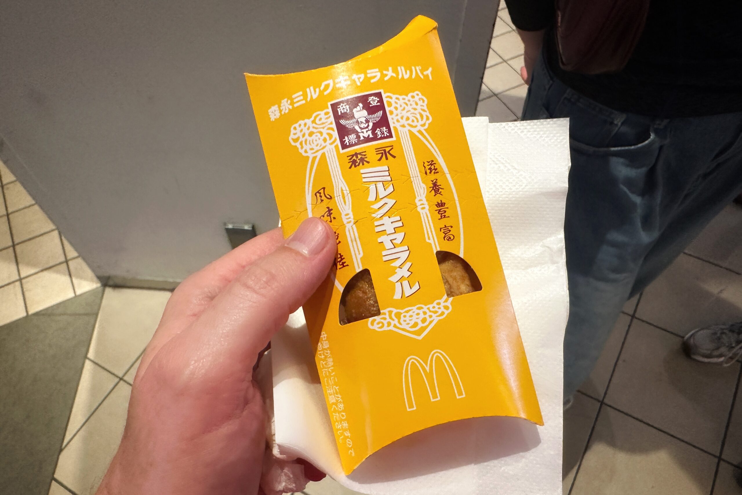
Finally, we went to a third restaurant for dessert. This was a unique store that sold some regular menu-item foods, but the main attraction was the nostalgic candy section. When you order a drink (and pay a little extra), you get unlimited candy. Since it was all Japanese candy, Ken helped us pick out what we would (probably) like. We supplemented the candy with a couple sweet bread ice cream sandwiches — which is definitely the equivalent of having a cat as a hat on top of another cat.

Food tour stop three for sweets
By the time we were done, it was 9:00 pm and we were beat. We made our way back to the train and went straight back to the hotel for the night. Tomorrow, we’ll do some more shopping, but most importantly, baseball!

Back to the familiar Oedo line jingle