Getting Ready for Norway

Welcome back!

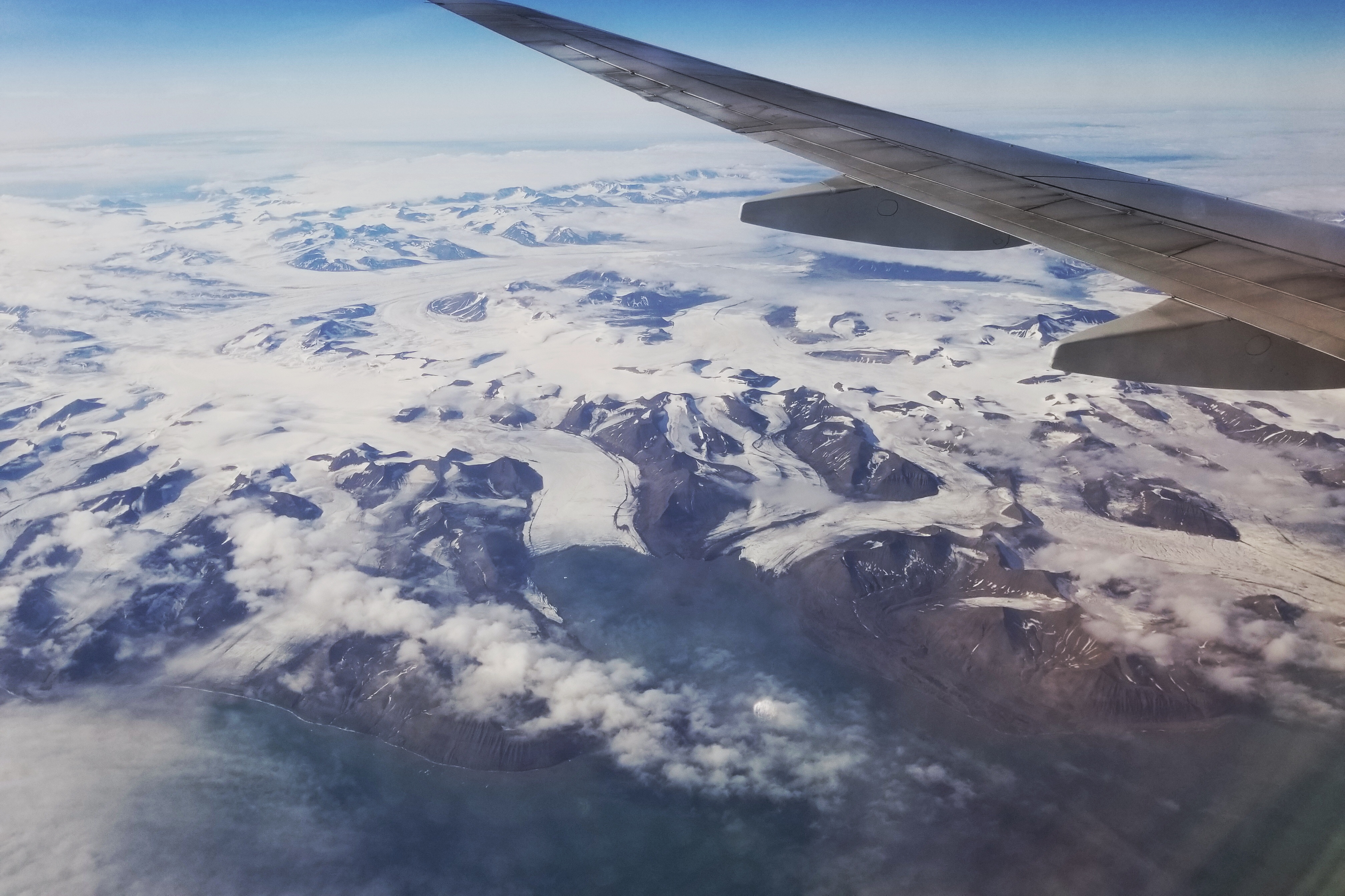
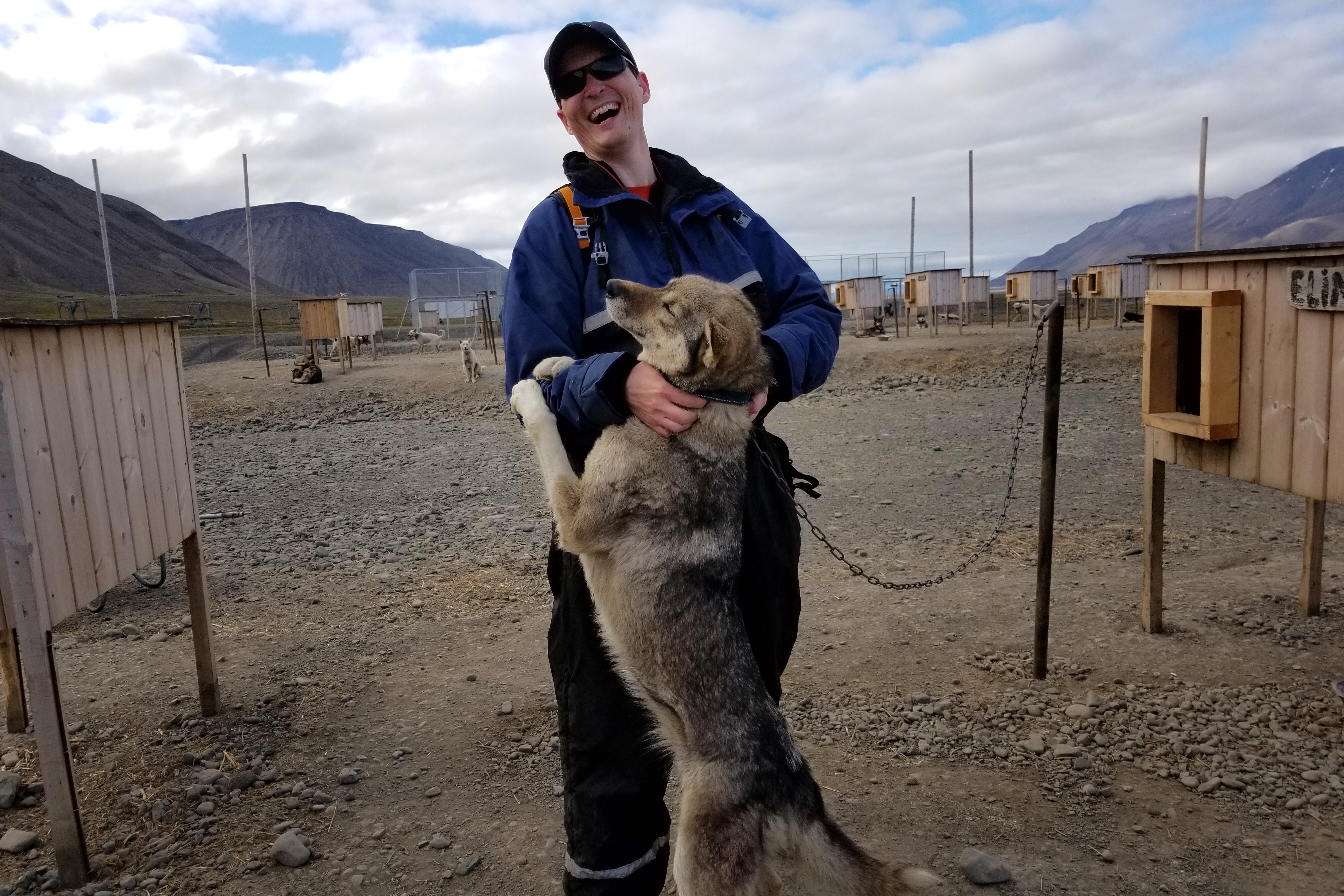
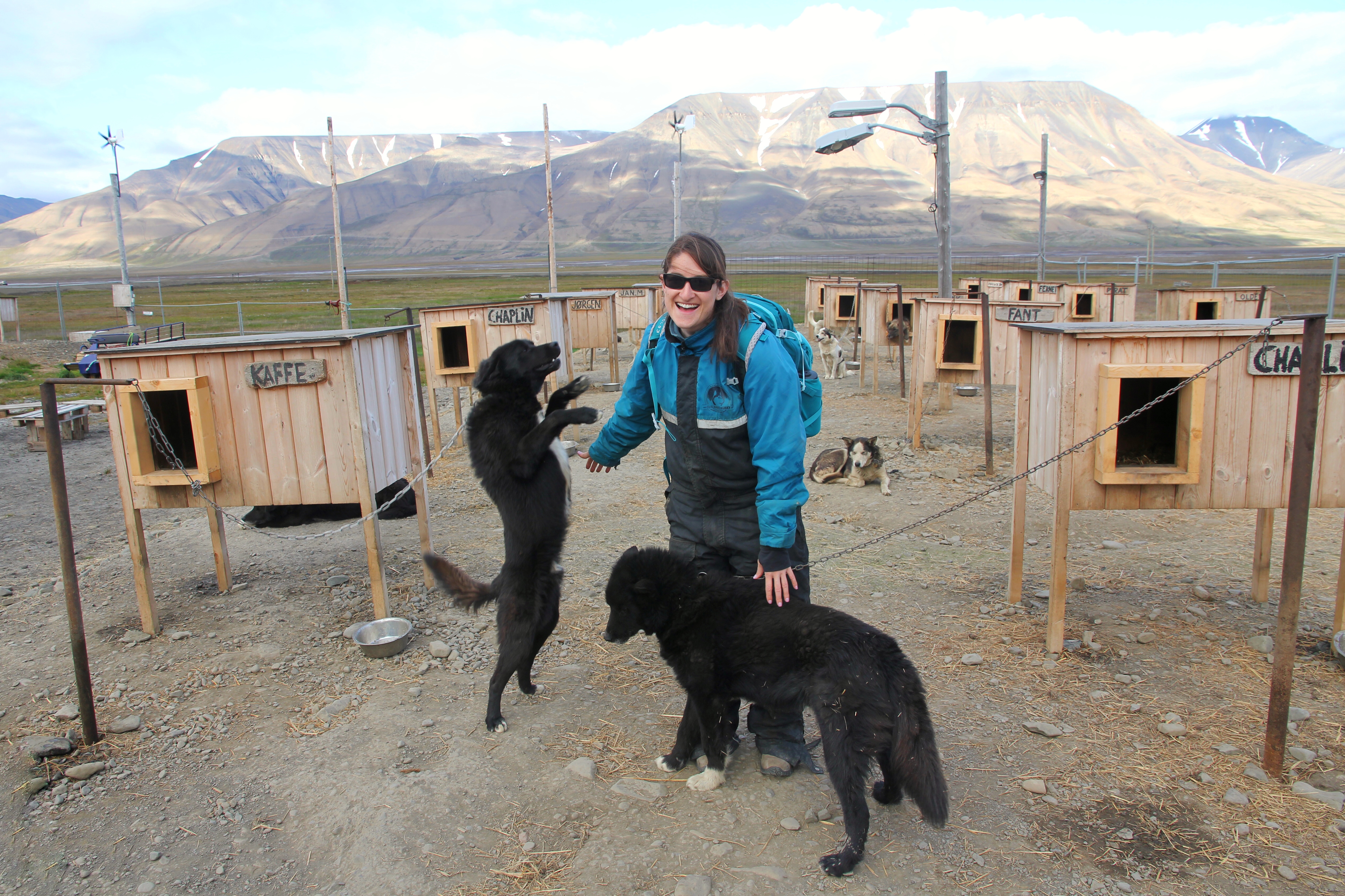
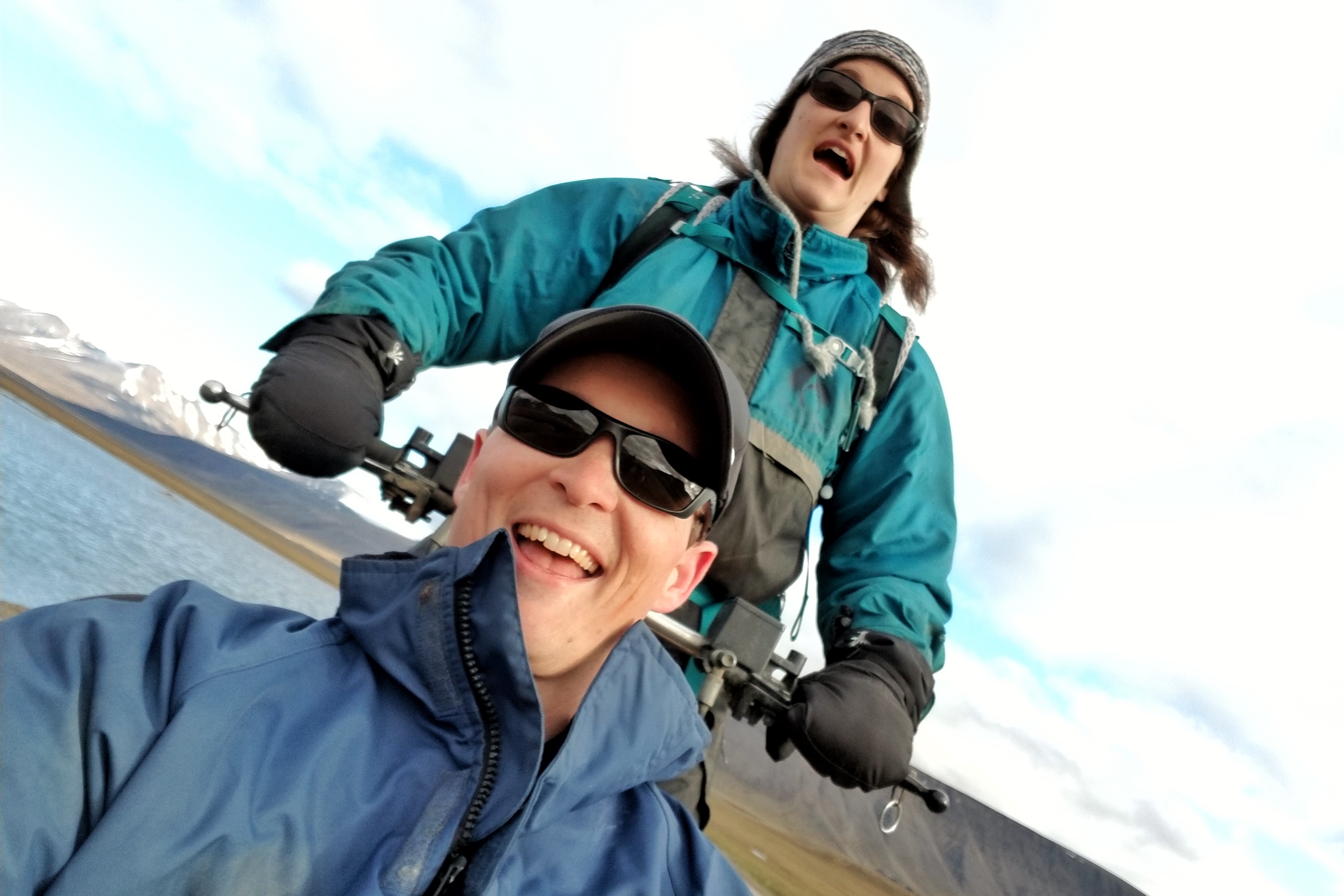
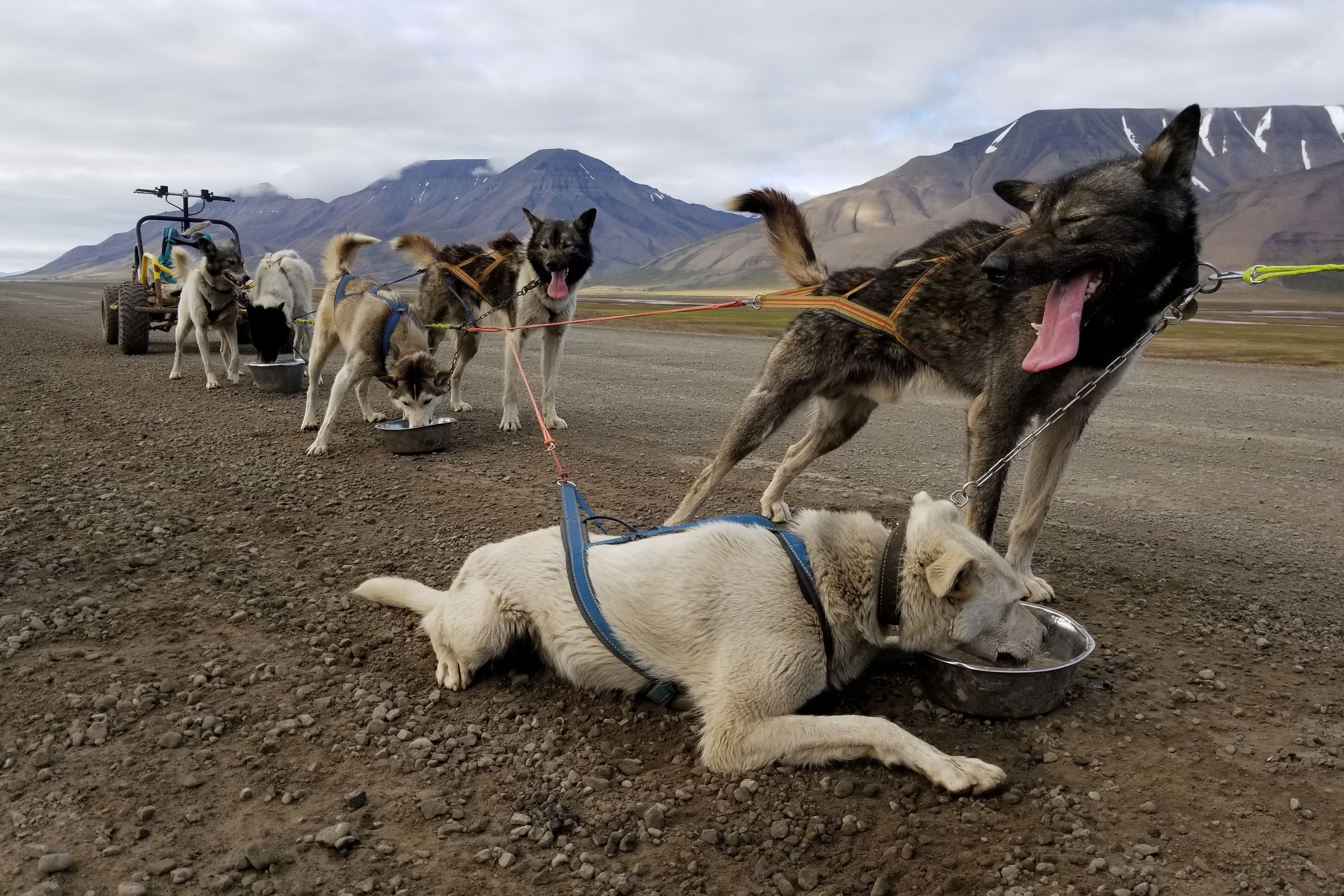
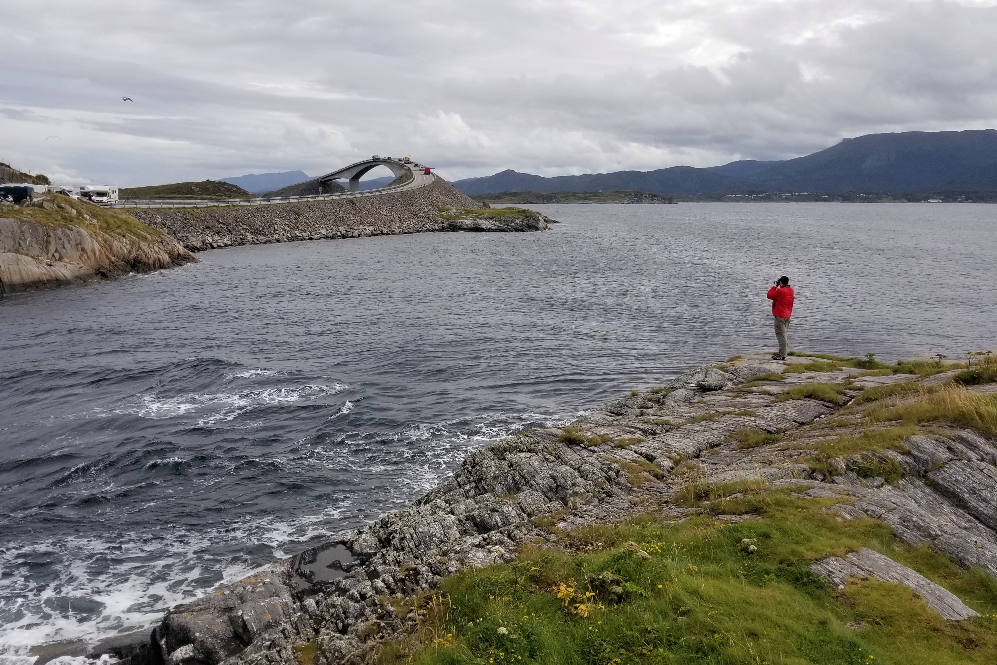
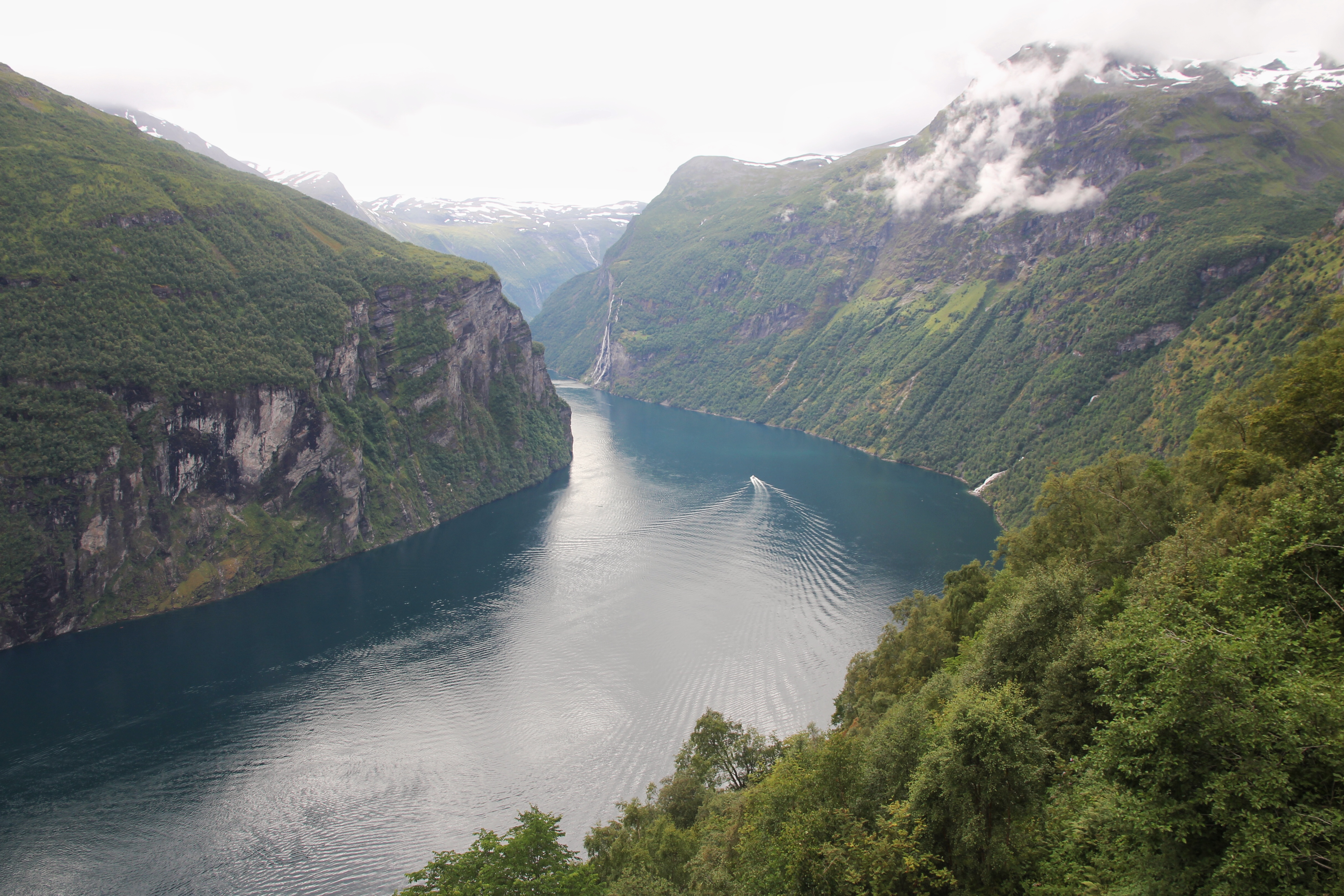
It’s summertime, which means another trip and another blog.  Get ready for two weeks of tantalizing text, fabulous photographs, and general travel goodness.  This time we are headed to Norway.  We planned an ambitious trip packed with hikes, flights, drives, and boats, as well as a stop on an island near the North Pole where we will make our second attempt at dog sledding.

If you zoom in on map above, we are starting at the bottom in Stavanger, then driving our way up to Trondheim during the first week. After that, we’ll fly waaaaaaay up north to Svalbard, before flying back south to the Lofoten Islands and finally exiting via Oslo.

Svalbard is that little yellow island nearly obscured by the top of the globe

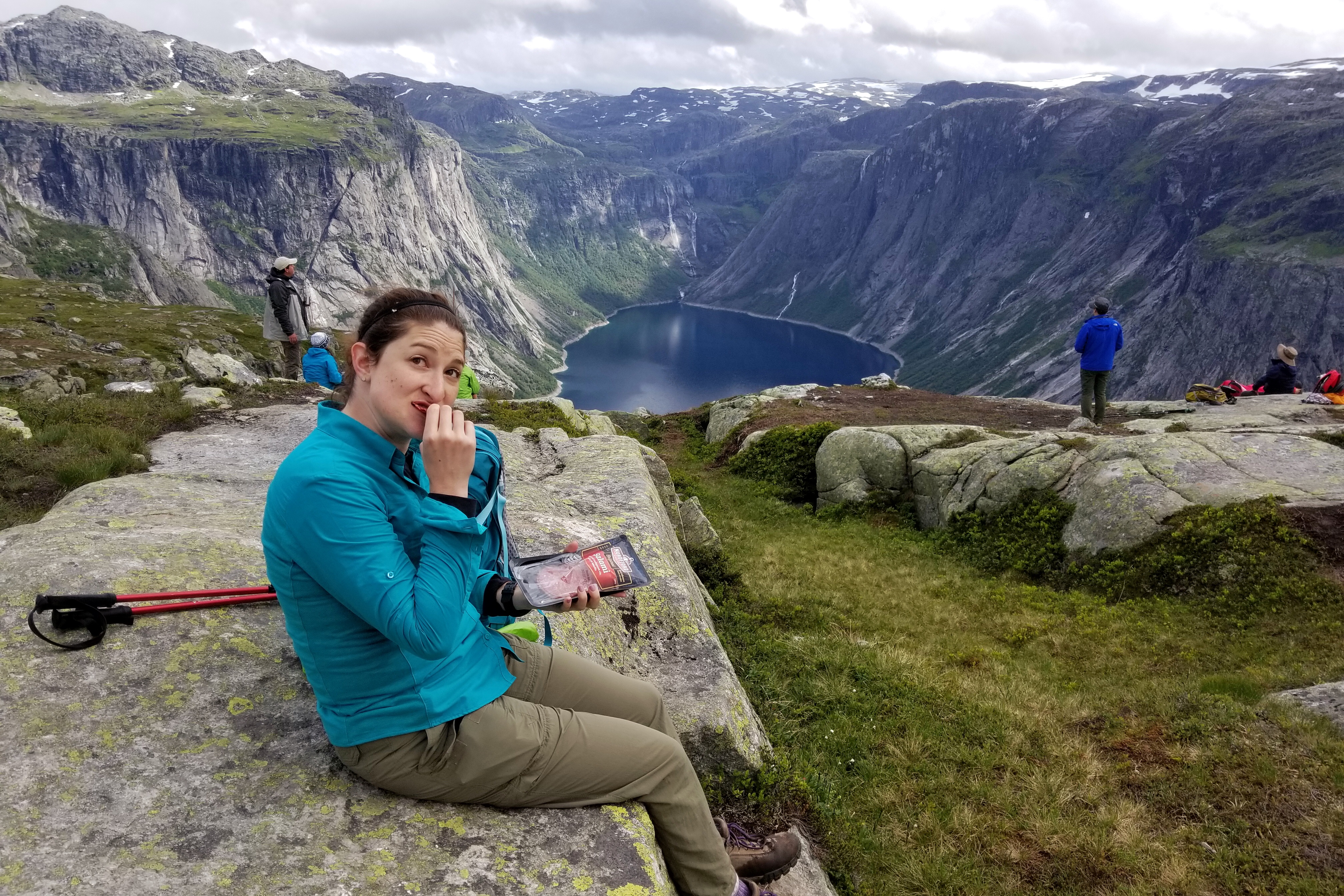
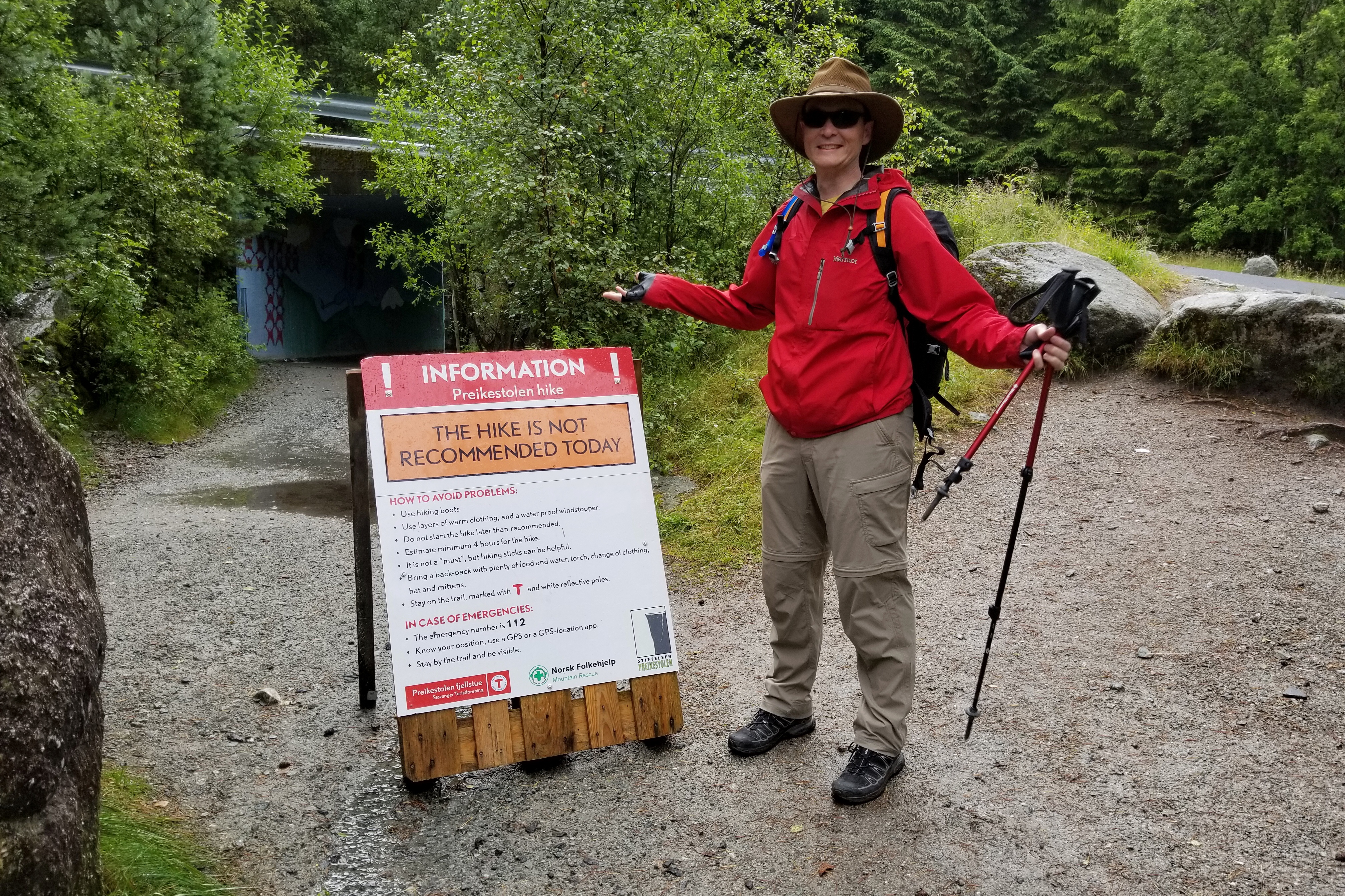
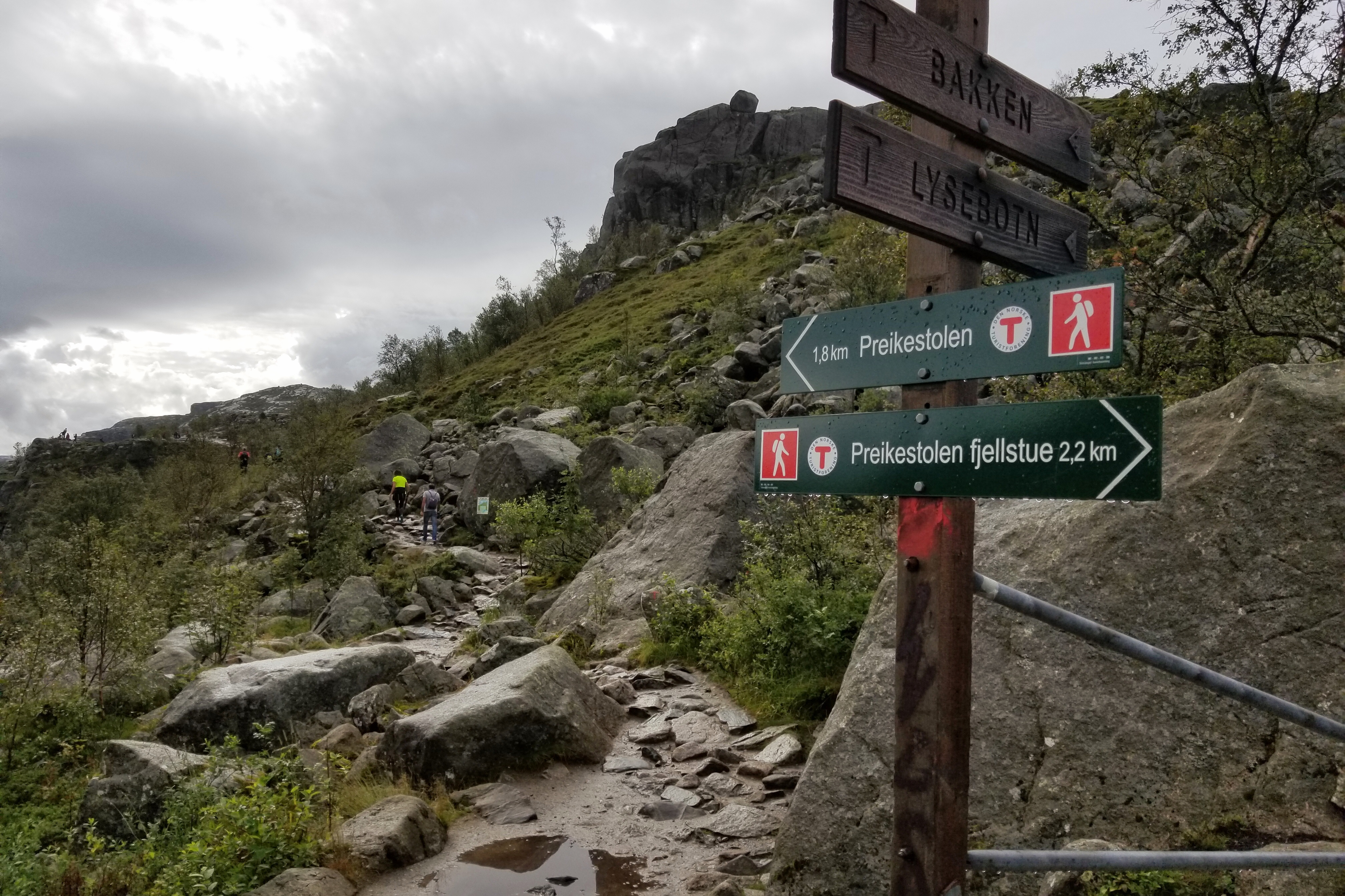
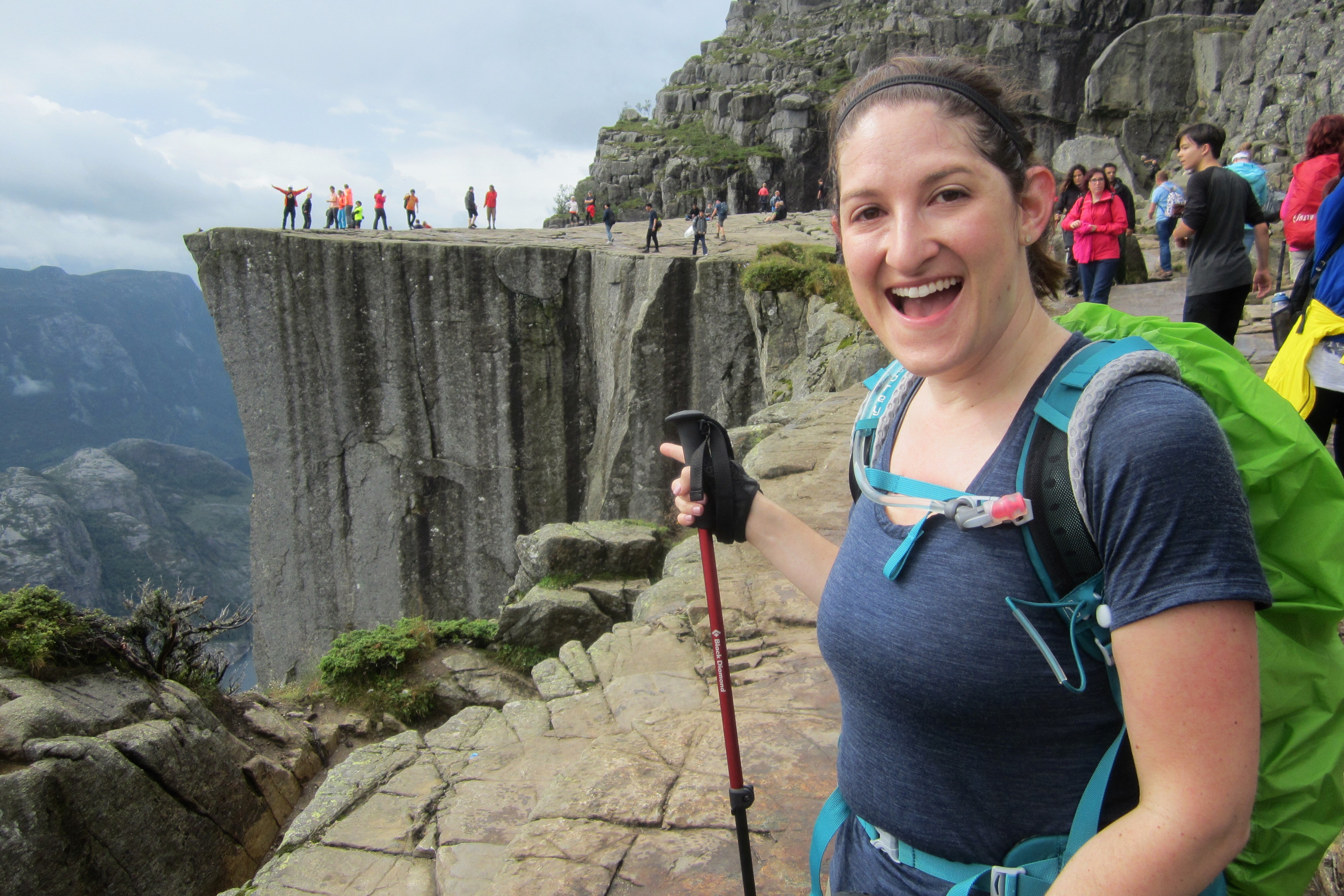
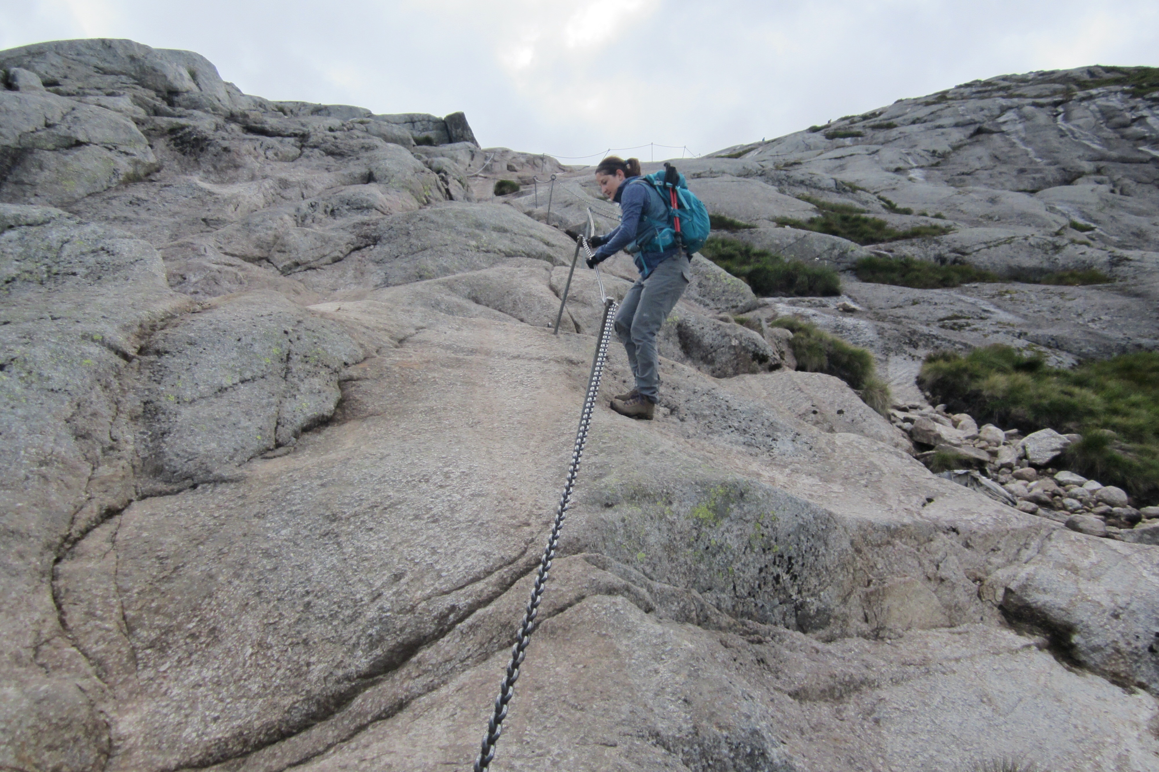
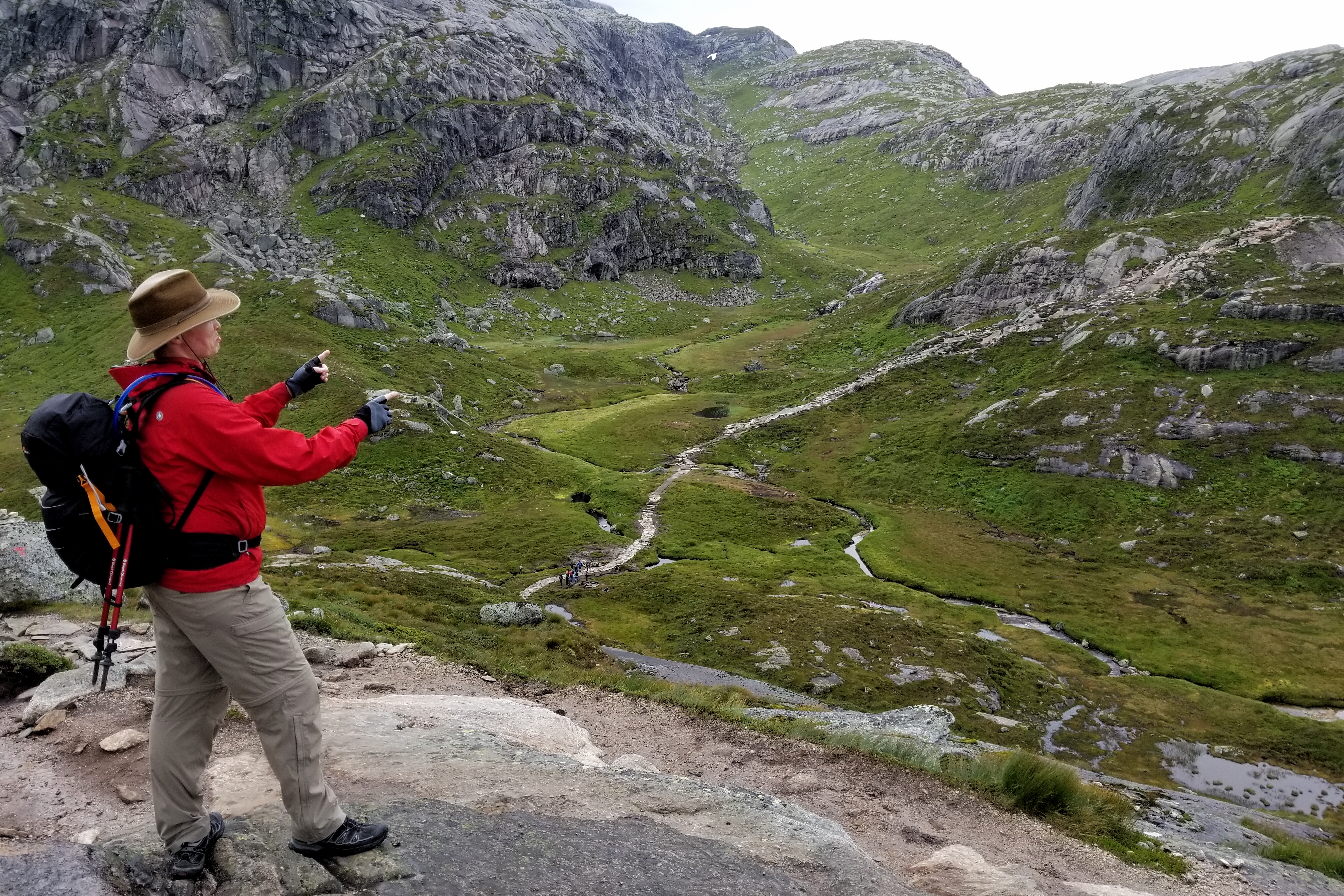
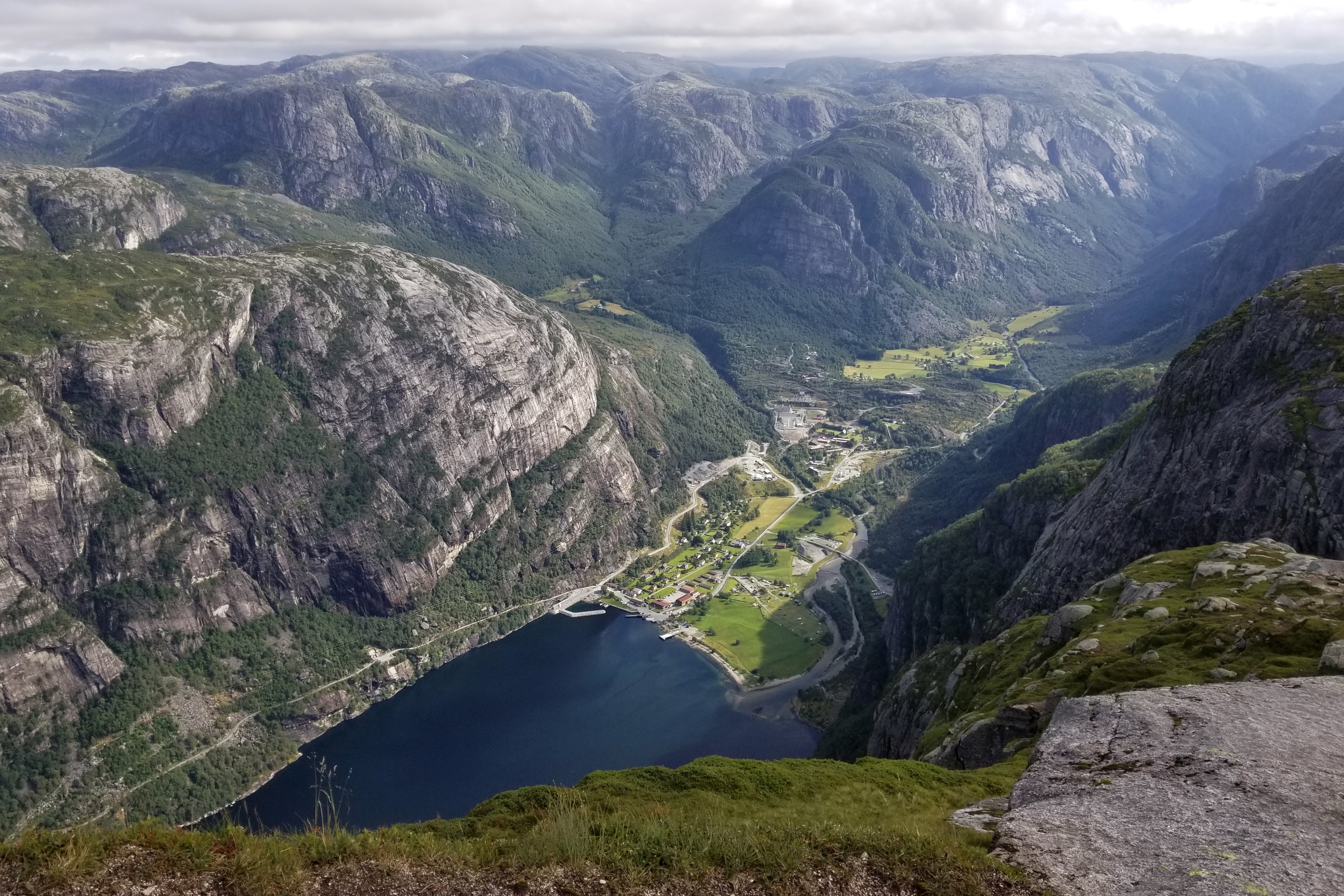
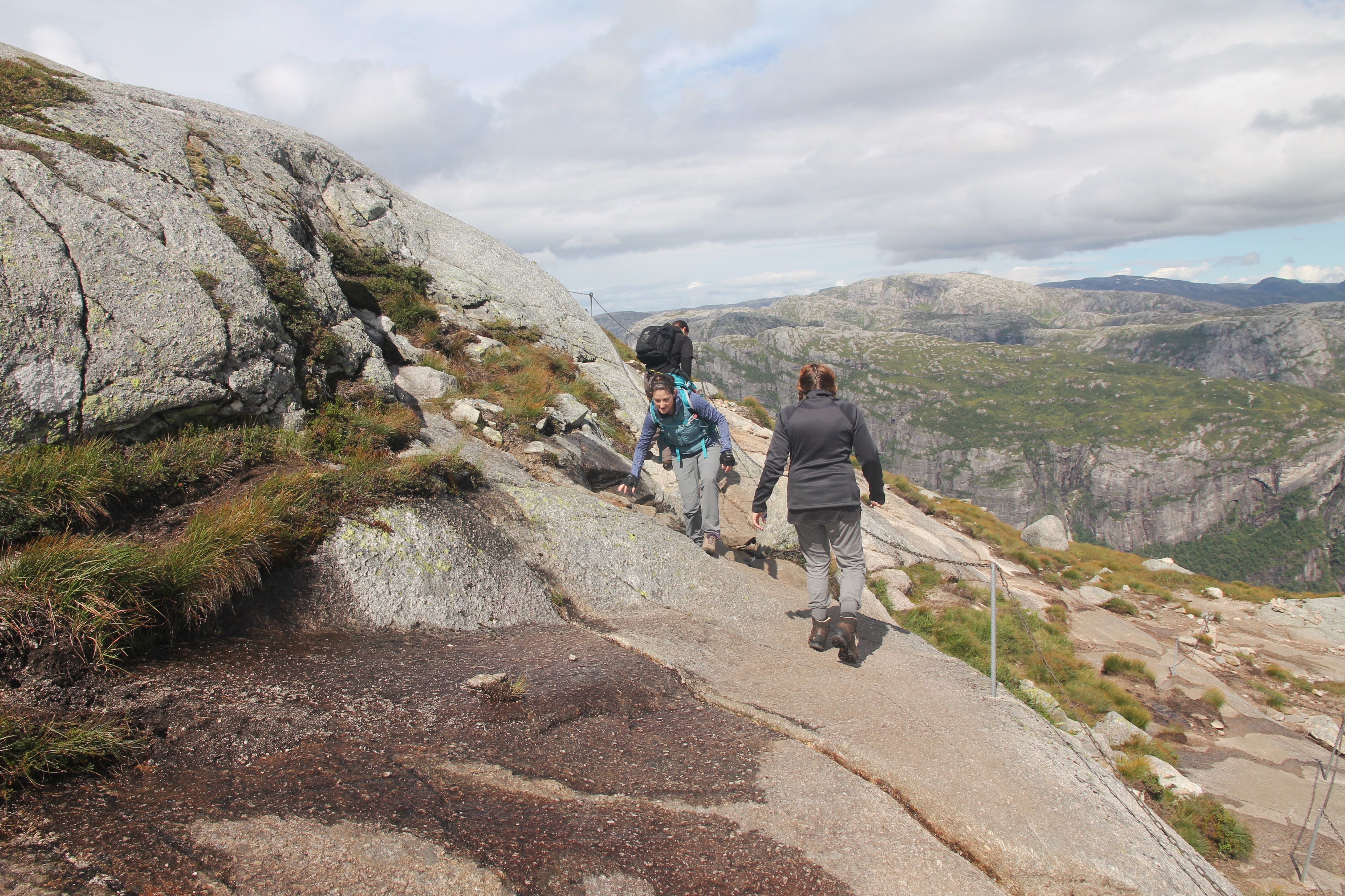
With my days finally free of teaching and graduate classes, I’ve been packing and preparing, anxiously awaiting the start of the trip and ready to share it with you.  We fly out on Friday, arrive on Saturday, make our way to Lysebotn, and start with a bang by hiking Mt. Kjerag on Sunday.  Hopefully going up and down the stairs in our building has sufficiently trained us for this:

The path on Kjerag

Just kidding, Mom.

Check back for daily updates on the adventures of Matt and Jo.

Day 13: Auckland

Our last day began in Auckland and ended in Chicago. Thanks to time zones and the International Date Line, we got about eight extra hours of July 20th refunded to us today (probably those hours on layaway from July 7th). The bad news is we spend most of this bonus time high above the Pacific Ocean and not doing more awesome things in New Zealand!

After waking up and putting the Sky City espresso machine to work one last time, we finished packing our bags and checked out. Our Super Shuttle picked us up on time with a couple other riders and we arrived at the international terminal of AKL with plenty of time to spare. No running like crazy people this time.

One last friendly reminder they drive on the left here in New Zealand!

One last friendly reminder they drive on the left here in New Zealand!

Unlike airports in the US (as far as we can recall), the airports in New Zealand put most of the shops and food outside of security.  The informational monitors tell you when you should be checking in, heading to security, or going to the gate for boarding.  Maybe this was why the security lines never took us more than three minutes to pass through?

Last shot of Middle Earth

Last shot of Middle Earth

We had time to relax, shop, and grab some lunch (or was it dinner?) before heading to the gate.  We skillfully managed to spend almost all of our New Zealand cash — save one dollar. With that last buck we bought a Kiwi Treasures scratch-off lotto ticket in an effort to extend the trip.  Spoiler Alert: We didn’t win.

Bet it all on Kiwi!!!!

Bet it all on Kiwi!!!!


No lotto winnings means delicious fast food lunch

No lotto winnings means fast food lunch at Burger King


These airport doors are not relaxed

These airport doors are not relaxed

Our American Airlines flight was right on time for departure at 1:30PM. Twelve hours (in actual time) and several in-flight movies later (The Revenant), we arrived in LA at 6:30AM — on the same day.  Time travel is fun!  We easily passed through customs, rechecked our bags, and went back through security.  Thanks Global Entry and TSA Pre-Check. Now we had three hours to kill in LAX before our flight to Chicago.
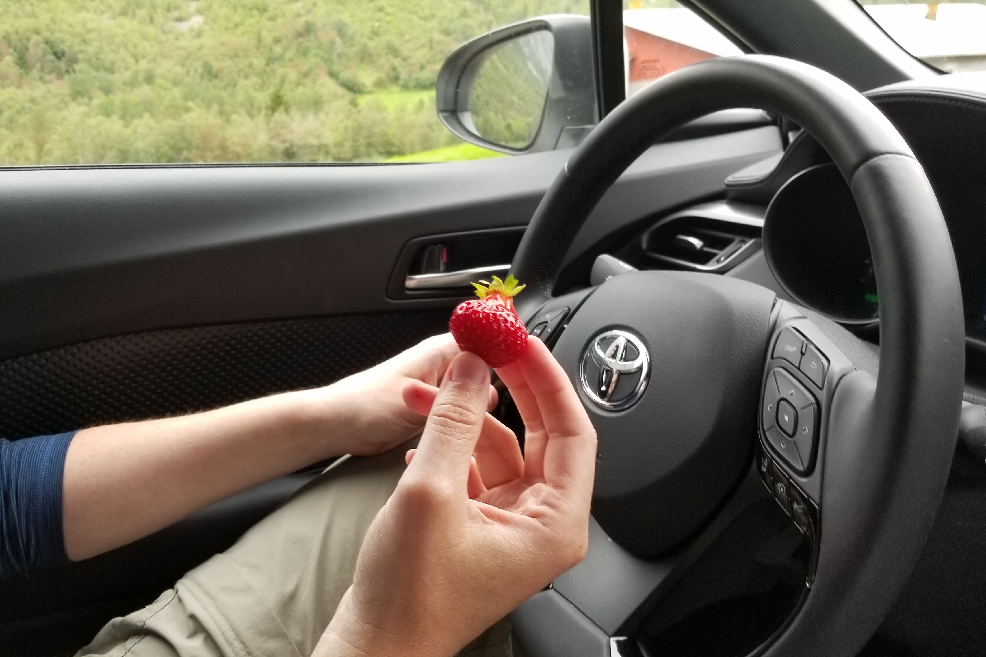
LAX has the worst cell reception ever

LAX has the worst cell reception in the history of airport cell reception

Time seemed to pass fairly quickly (perhaps napping helped) and we were once again boarding a plane.  Four hours later, we landed in Chicago. Between a bit of a bumpy descent and having pulled the equivalent of an all-nighter, we were a little queasy waiting for the plane to taxi around the O’Hare runways (seemingly forever!) and finally pull into a gate. Thankfully, the delirium subsided a little in baggage claim.

Missing New Zealand weather already

Missing New Zealand weather already

We ordered up a Lyft — our final leg of transportation — to get us home. Our driver was keen on finding ways (most of them legal) to bypass rush-hour traffic on the Kennedy, and we were home by about 5:30PM.

Thanks to New Zealand for a great trip! The fantastic weather and the amazing geography. Not to mention our great hosts and guides, our trusty Toyota RAV4 rental, and, of course, the Edge music video channel and their special 90s videos countdowns. We’d go back in a heartbeat.

Day 12: Hobbiton

We’re going on an adventure! With one day left in New Zealand it is finally time to step out the door and visit Hobbiton.

We met Vic, the owner of Red Carpet Tours, outside the hotel at 8AM. Another lady from Germany was on the tour, and the four of us were on our way. Vic drove us about two hours from Auckland to the town of Matamata (where Hobbiton is located). On the way, he shared plenty of great stories about the filming of the LOTR and Hobbit movies, and showed us some props that were used in the movies.

Replica of Bilbo's contract with the dwarves

Replica of Bilbo’s contract with the dwarves

Vic explained how he capitalized on his fortunate opportunity to start Red Carpet Tours. When filming LOTR ended, they started tearing down the Hobbiton set. Bad weather interrupted the demolition, months passed, and days before the crews were about to return, Vic contacted the farm owner and they both agreed to call off the bulldozers.

To find customers, they teamed up with a local who was well-known in the LOTR fan community for sleuthing out the filming locations (and racking up several trespass citations in the process). She began to let other die-hard fans know that Vic could arrange tours to what was left of Hobbiton and other filming locations.

Today, the Hobbiton tours are more official

Today, the Hobbiton tours are more official

As a result, Vic was offering LOTR tours to Hobbiton for several months before New Line Cinema formalized an agreement with the owners of the farm to start Hobbiton Movie Set Tours. Of course, there are still lingering concerns from the Tolkien Estate and other rights holders when it comes to the current operation at Hobbiton, but nobody looked to be handing out cease and desist orders when we arrived, so I think we’re in the clear!

Welcome to the Shire!

Welcome to the Shire!

In 2011, the Hobbit movies were made and the set was rebuilt with permanent materials for the purpose of bringing in tours once filming was finished. Today, these tours are popular for Tolkien fans and non-fans alike. As a new fan myself, (I still haven’t seen The Hobbit yet, oops) it was easy to see the appeal of Hobbiton.

Technically not LOTR, but I'll allow it

Technically not LOTR, but I’ll allow it

The view up toward Bag End

The view up toward Bag End

Impressive attention to detail at each Hobbit hole

Impressive attention to detail at each Hobbit hole

It's an actual farm

It’s an actual farm

This place is more than your typical movie set — it is a living set! Sheep and dairy farm operations carry on nearby. The grass, plants, birds, etc. are all real and living (with the exception of some prop potatoes and the tree on top of Bag End). It is the largest purpose-built set ever used in cinema.

Hey Annamarie, you'd probably like working here

Hey Annamarie, you’d probably like working here

As tour groups walk the paths, gardeners and farm workers can be seen doing their regular farm jobs in and amongst the set. Sheep and cattle can be seen just over the hobbit holes. All this work yields an amazing level of natural detail on the set. For the record, I would totally live in a hobbit hole, given proper height.

Get off my Hobbit lawn!
Get off my Hobbit lawn filled with art supplies!
Bagshot Row and the Green Dragon

Bagshot Row and the Green Dragon across the water

And what about very old friends?!

And what about very old friends?!

The view from Bilbo's porch

The view from Bilbo’s porch

Sam's residence

Sam’s residence

Entertaining community board hear the Watermill

Entertaining community board near the Watermill

Our tour ended in the Green Dragon where we enjoyed some SouthFarthing fine ales and lunch. Warner Brothers isn’t really the company I think of when it comes to beer, but whoever they contracted to brew these Hobbiton ales did a great job.

Cheers!

Cheers!

More fun notices and frosty beverages

More fun notices and frosty beverages

Appropriately decorated with a carved Green Dragon

Appropriately decorated with a carved Green Dragon

After a trip to the gift shop, we got back in the van and headed to Auckland. Matt continued chating with Vic while I napped. We made it back to the hotel and said goodbye to Vic who provided an excellent tour.

Red Carpet Tours was a good choice

Red Carpet Tours was a good choice

Oooooh! Let's go to Hamilton!

Oooooh! Let’s go to Hamilton!
We located a Mexican restaurant near the hotel for dinner and headed back to the hotel afterwards to relax. Visiting an iconic destination in Middle Earth was a pretty good way to spend our last day.

Day 11: Waiheke Island

It was a rainy morning in Auckland, but things cleared up nicely by the time we ventured out. After sleeping in a little due to last night’s late arrival, we headed down to the wharfs and set sail for Waiheke Island, a 40-minute ferry ride to the east on our “Quickcat” catamaran.

Just a little morning 3-on-3 in downtown Auckland

Just a little morning 3-on-3 in downtown Auckland


There are "best island" awards, who knew

Well then, I guess we should go!

Waiheke Island used to be pretty much unknown. It was an artist and tree-hugger hangout. People in Auckland didn’t bother visiting, and tourists didn’t make it out there either.

But recently, the island has gained significant fame and popularity thanks to 30-plus wineries and plenty of gorgeous beaches; so much so that many of the community’s original artists can no longer afford the million-dollar houses. A headline in the “Waiheke Marketplace” newspaper was “Rose McLeod Quits Island.” She’s not just moving. She’s quitting the island.

Expensive homes and wineries aside, the island also has zip-lines. On arrival, we were picked up by EcoZip Adventures and driver Jake provided plenty of entertaining commentary as we headed inland.

Island view from EcoZip HQ

Island view from EcoZip HQ


Gearing up

Gearing up for zip lines

We started the adventure by stepping into our harnesses and checking all the straps were snug. After a group photo and a brief safety training, we got hooked up and were ready to fly.

Safety briefing

Safety briefing


Helpful advice

Helpful advice

The first line went over vineyards (sadly, too high for a tasting). We walked to the next line, which was a bit higher, a bit steeper, and a bit more exciting. It provided nice views of Waihake, and a hazy Auckland in the distance. We survived and continued to the third and final line. Higher, longer, and steeper than the rest, this line is called “big dog.” It lived up to expectations, and by then, we had figured out how to position ourselves to go as fast as possible.

Ready for 'big dog'

Ready for ‘big dog’


Smooth landing

Smooth landing

To finish the tour, we hiked about a mile back up the hill through the forest. One of my New Zealand souvenirs will be an impressive amount of mud on my pants. Our guide Gaby informed us about the plants we passed along the way.

Nature walk

Nature walk

The plantlife on the North Island is significantly different than the alpine regions of the South Island. We saw the “mother tree” that inspired the big tree in Avatar, hugged a tree for good luck, and finally got to see (or at least realized we were seeing) the iconic Silver Fern. Green on one side and silver on the other, the Silver Fern can be used to leave proverbial breadcrumbs, signal that hunters are in the area, and reflect light for guidance or emergencies. It has become a recognized symbol of New Zealand. Sixteen New Zealand sports teams use the Silver Fern logo, and you can see it on basically any product exported from NZ.

This is the Silver Fern

This is the Silver Fern

We made it back to our starting point, and took a shuttle to the small town of Oneroa. With some help from Kiwis who were on the tour, we found The Cove, a little restaurant with excellent fish and chips, some local beer on tap, and a great view of the cove.

View from lunch

View from lunch

We tried to do a little shopping and walking around the town, but by 5PM, most of the stores had closed. We walked back to the ferry and caught it just in time.

Hold the ferry!!!

Hold the ferry!!!


Sailboats in Matiatia Bay

Sailboats in Matiatia Bay


Another ferry leaving Auckland as we arrived

Another ferry leaving Auckland as we arrived


It's easy to find our hotel with the Sky Tower

It’s easy to find our hotel with the Sky Tower

Back in Auckland, as we meandered back to the hotel, we found a little place called Sumo Sushi with a great two-for-one deal and picked up a bottle of wine. Our kind of room service!

With an early start tomorrow (our last full day, what?!) we relaxed and watched 1993 music videos on MTV. Taking advantage of the fancy hotel perks, we even requested two of the “perfect pillows” they offer. The Billow Pillow for side sleepers, and the Belvedere for therapeutic neck and shoulder support. We are pretty sure that are the same as our other pillows, but we will find out shortly!

Day 10: Mt. Potts

We woke up this morning as soon as it was light enough out to get hiking. With coffee consumed and gaiters securely fastened, we used the key Brad gave us last night to open (and re-lock) the gate into the deer park behind the lodge, which is where we started on the trail to the Pyramid.

Deer send-off!

Deer send-off!


Adventurous trail begins right away

Adventure on the trail begins right away


Top gate out of deer park! But trail pretty much ended there too.

Top gate out of deer park

Pyramid Mountain lies to the north of Mt. Potts Lodge and rises to an elevation of 1748 meters (it is about 550 meters at the Lodge) with a snow-capped peak. The terrain below the peak is a series of ridges and drainage gullies that snake their way up the hills to 1000-1100 meters, supporting a full array of alpine bushes and grasses.

The Pyramid

The Pyramid


No trails up here!

No trails up here!

There were mixed reports on exactly how long the full hike would take, with Brad suggesting six hours, and another brochure mentioning eight. Either way, when we started we knew we probably didn’t have the full day needed for the whole enchilada. After putting in about two-and-a-half hours to reach the 1100-1200 meter range, we declared our own summit on the top of a ridge after navigating the first major rockfall with snow cover. We celebrated with peanut M&Ms and dried mangos. The view was tolerable.

Reaching the snowy and rocky elevations

Reaching the snowy and rocky elevations


We declared this our summit

We declared this our summit

Thanks to Mariko, we knew which plants to avoid while tramping through the unmarked terrain, and which plants were safe to step on. This came in handy when the alternatives were mud or ice. Of course, I still fell once on the ice, but that was pretty much expected.

Navigating the way down

Navigating the way down


The lodge is back in sight

The lodge is back in sight


Mt. Sunday in the distance

Mt. Sunday (aka. Edoras) in the distance

We made it back to the lodge on schedule, stopped to check in with Brad, and drove a few minutes down the road to the trailhead for Mt. Sunday, our other planned hike for the day.

Brad giving us pointers on how to jump electric fences

Brad giving us pointers on how to jump electric fences


Not jumping any fences

Not jumping any fences

The purpose of hiking Mt. Sunday was, of course, the main reason we ventured to a backcountry station located in the upper reaches of the Rangitata Valley in the first place — to see the home of Edoras from LOTR. It was also a fun coincidence that we ended up hiking Mt. Sunday on a Sunday.

On yeah, this is cool

On yeah, this is cool


Yep, that works

Yep, that works


Details on the mountains checks out

Details on the side of the mountain check out

Rohan!!!

Rohan!!!

After having fun at the top of Mt. Sunday/Edoras, we hiked back down and returned to the Lodge. We packed up and make lunch in the kitchen. Today’s menu was tasty gourmet cheese omelettes paired with other random snacks we have been collecting (such as Amarreto shots, peach jello cups, and sour cream chips).

After saying goodbye to Brad, we got back on the road for a three-hour drive out of the high country. Next stop: Auckland!

So long Edoras and Mt. Potts!

So long Edoras and Mt. Potts!

Well, technically, the next stop was Christchurch airport, but that’s not very exciting. We waved goodbye to our trusty car at the airport, waited out a short flight delay on Air New Zealand, and eventually made our way via Super Shuttle to the Sky City Hotel in Auckland.

Friendly Air New Zealand

Friendly Air New Zealand crew


Kind of a big deal in Auckland

Kind of a big deal in Auckland

The big city hotel in Auckland is quite a change from the high country lodge we had to ourselves in Rohan last night! Looking forward to sleeping in and putting the espresso machine to work tomorrow whenever we get up.

Day 9: Mt. Cook/Mt. Potts

Mt. Cook was too good to say goodbye just yet. After packing up the car and checking out of the Hermitage, we circled around to the east side the park and ventured into the Tasman Valley for a morning hike (yesterday we hiked the Hooker Valley).

"Some steps" in New Zealand trail guides leaves room for interpretation

“Some steps” in New Zealand trail guides leaves room for interpretation


This bush Is aptly called the "face slasher"

This bush Is aptly called the “face slasher”

From the lookout over the Tasman Glacier and lake, you can see how far the glacier has retreated over the past few decades. What was once covered deep in ice is now a lake and an open expanse of rock and moraine. Thanks, global climate change.

Here's what's left of the Tasman Glacier!

Here’s what’s left of the Tasman Glacier!


View of Mt. Cook from the Tasman Valley

View of Mt. Cook from the Tasman Valley


Frost crystal pattern on hiking trail

Frost crystal pattern on hiking trail


Tasman Valley ducks

Tasman Valley ducks

Our drive out of Mt. Cook National Park headed south along Lake Pukaki (which we saw on the way in) until we hooked back up with Highway 8 and turned east. We stopped at a tiny store at the end of the lake called Mt. Cook Alpine Salmon. Freshwater King Salmon are farmed in the controlled canals south of the lake, using the cold, pure waters that flow from Mt. Cook.

Delicious, delicious king salmon

Delicious, delicious king salmon

We bought some salmon fillets to make for dinner, and some smoked salmon to eat right away. Unfortunately, New Zealand doesn’t really appreciate the concept of a bagel and cream cheese, so I took my salmon straight up.

Heading inland

Heading inland

The next town we passed through was Tekapo, which is home to another brilliant blue glacial lake. Tekapo is a small town (permanent population of 365) but it had a handful of things to see, including a mountain-top observatory with a cafe, a famous old church, and a monument to collie dogs!

St. John's Observatory is high above Lake Tekapo

St. John’s Observatory is high above Lake Tekapo


Church of the Good Shepard

Church of the Good Shepherd


Collies get the job done!

Collies! We get the job done!


Winter is coming!  Eventually?

This mild weather is too warm for Westeros

Geraldine was the next stop on our driving adventure. We read about a gourmet cheese shop in town and tracked it down. This part of New Zealand still has sheep (of course), but they also have cows all over the place, hence, delicious fresh cheese.

Perfect dairy farm landscapes

Perfect dairy farm landscapes


Cheeeeeeeese!

Cheeeeeeeese!

After stocking up on cheese and groceries, we raced the setting sun back north into the Canterbury High Country. No more dairy cows up here, but plenty of cattle.

Hakatere Conservation Area at sundown

Hakatere Conservation Park at sundown

We reached our final destination of Mt. Potts Lodge just as the last bit of daylight was fading. Other than Brad, the lodge manager who lives on site, we had the place to ourselves. Seriously, Mt. Potts Lodge is the only accommodation around for miles, and we were the only ones there! Just us, Brad, and the farm animals.

This is Rohan, so obviously there are horses to welcome us

This is Rohan, so obviously there are horses to welcome us

There is no restaurant on site, but Brad told us ahead of time there was a microwave and grill available to prepare food — which is why we showed up with a stockpile of salmon and cheese! We weren’t sure what other tools or items would be at our disposal, but with Brad’s help getting the stove started in the lodge, we ended up using the chef’s kitchen in the lodge (designed for catering events) to make dinner, MacGyver-style!

Pan-fried king salmon and honey-glazed carrots

Pan-fried king salmon and honey-glazed carrots

There are no city lights anywhere nearby, in fact there is nothing nearby; not for miles, but the nearly-full moon is so bright that it actually obstructs the view of some of the other stars. Even so, when we walked outside before bedtime to check out the clear sky and the pleasant weather, we could still some asterisms and the Milky Way. Not too shabby.

Day 8: Mt. Cook

“Hooker Valley is the last place I would want to be tomorrow!” These encouraging words were spoken to us by Tom the bartender last night as he contemplated the weather forecast for our day’s plan to hike the Hooker Valley track. When we woke up, it was still raining/snowing, so we suited up and prepared for the worst.

At 9AM, we met our fantastic guide Mariko. The weather improved as soon as we stepped outside and hit the trail. There was still some icy/slushy/snowy patches on the path, so Mariko gave us YakTrax to use, and they were amazing. How do I not own a pair of these?!? Walking with ease on the slippery path, we made our way through they valley.

Mariko is the best!

Mariko is the best!


Snow chains for your feet

Snow chains for your feet


Onward past Mueller Lake

Onward past Mueller Lake

With the Southern Alps on our left, and the Mt. Cook Range on our right, we saw plenty of glaciers. Mariko pointed out the Stocking Glacier (which looks like a stocking) and some hanging glaciers. We passed over the Hooker River three times on suspension bridges that reminded me why I am not going bungee jumping.

Glacier in the sky

Glacier in the sky


Joanna loved these suspension bridges

Joanna loved these suspension bridges


Southern Alps

Southern Alps


Stocking Glacier

Stocking Glacier

The river water originates from the glacier, and is milky-looking because all the schist rock in the valley creates a fine grey powder via mechanical erosion. As the river flows further, it feeds into lake Pukaki, where these same sediments create the brilliant turquoise color we saw yesterday.

Mt. Cook dialed in

Mt. Cook dialed in


Snow blowing off peaks in the Mt. Cook Range

Snow blowing off peaks in the Mt. Cook Range

Soon, Mt. Cook came into full view. As the highest mountain peak in New Zealand, it is easy to spot. Following the glacial moraines on each side of the valley, we made it to Hooker Lake, with Hooker Glacier on the opposite shore.

Clear view!

Clear view!

With today’s warm northerly wind (yeah, this is the Southern Hemisphere!) the icebergs from the glacier had congregated at the southern end of the lake.

Ice on Hooker Lake from Hooker Glacier

Ice on Hooker Lake from Hooker Glacier

We stopped for lunch, and Mariko even busted out a portable stove to boil water for coffee and tea. She told us the Maori legend of Aoraki, which is their name for Mt. Cook. Two brothers took a canoe across the lake to visit their father, the Sun God, and his new wife, the Land Goddess. During their assent to the sky, they messed up their frequent flyer chant, and didn’t get into the priority club access lounge. Instead, they froze in the mountains, and you can now see the face of one of the brothers in the peak of Mt. Cook.

After eating and marveling in our surroundings, we scrambled over some larger rocks to see the headwaters of the Hooker River, which was rushing strongly thanks to the precipitation in the previous 24 hours.

On the return trip, we learned about the flora. Even though there are 200 days of precipitation a year, the valley is very dry. Many of the plants look like they belong in a desert. Some have fun names including the Face Slasher, the Wild Spaniard, and the Bloody Irishman. The British liked to name prickly plants after groups of people they didn’t like. Subtle.

First algae, then moss, then tiny plants

First algae, then moss, then tiny plants


Old Man's Beard, aka. Lichen

Old Man’s Beard, aka. lichen


The Wild Spaniard, with leaves sharp as knives

The Wild Spaniard, with leaves sharp as knives

Another cool phenomenon were the hidden cascades. Waterfalls flowing in and out of the mountain — disappearing and reappearing all the way down to the river.

Holy schist!

Holy schist!


Given the location of this LOTR scene, Hermitage Hotel is the White City of Gondor

Given the location of this LOTR scene, Hermitage Hotel is the White City of Gondor

With Mt. Cook behind us, and the Hermitage in front of us, we completed our hike. Next up was to head over to our favorite bar for dinner, drink more Monteith Black beer, and gloat to Tom.

There were pockets of clear sky, so we checked with the stargazing group to see if they were heading out to the telescopes. The clouds were moving too fast, the moon was a bit too bright, and the wind was too strong, all making telescope viewing pretty mediocre. Alas.

However, we held our own stargazing tour by walking around the hotel in the moonlight. No telescope, but I think we did alright.

Won't see the Southern Cross in Chicago

Won’t see the Southern Cross in Chicago

Thanks, Mt. Cook. You did good.

Day 7: Queenstown/Mt. Cook

Another rainy morning in Queenstown, but you know it’ll still be a good day when New Zealand’s More FM is playing their “high school hits” during breakfast, including Rick Astley’s Never Gonna Give You Up and Baha Men’s Who Let the Dogs Out.

After checking out of Browns, we walked up the street to see if the Skyline Queenstown gondola was worth a trip despite the rain. The staff people said it was snowing at the top, but one of the luge courses was scheduled to open shortly… so we decided to go for it.

Good view of Queenstown from top of the gondola

Good view of Queenstown from top of the gondola


Suiting up for the luge

Suiting up for the luge


Crews were able to de-ice and clear the snow from one track

Crews were able to de-ice and clear the snow from one track


Great view north toward Arthur's Point

View from Skyline north toward Arthur’s Point

Following our luging Grand Prix, we filled up the gas tank and left Queenstown heading north via the Crown Range Road. The New Zealand weather alert service (and a guy at the gas station, for good measure) said we should go around and avoid the snow, but we took our chances with the scenic alpine route.

Snowy Crown Range Road

Snowy Crown Range Road


We've got the chains, but thankfully don't need 'em here

We’ve got the chains, but thankfully don’t need ’em here

Eventually the weather cleared and we passed through Cardrona, where we waved hello to the Snow Farm. The Snow Farm, of course, is the Nordic-style ski resort where we should have been hanging out with our sled dogs pals, but after calling to check again, they said there still wasn’t enough snow.

Cardrona township with Snow Farm road in the distance

Cardrona township with Snow Farm road in the distance


You can check out anytime you like, but you can't go dog sledding today

You can check out anytime you like, but you can’t go dog sledding today

Our journey north took us through Wanaka, an idyllic lakeside resort community along Lake Wanaka; Omarama, a farming and ranching service town with some cool clay cliff formations we spotted from the road; and Twizel, a hydro-electrical power town home to the landscape where the battle of Pelennor Fields was filmed in LOTR.

We also drove over the highest portion of the South Island highway network at Lindis Pass. Technically, it is not an alpine pass, but it was brisk and windy nonetheless.

You shall pass

You. Shall. Pass.


That way!

That way!


Yellows, browns, whites, blues

Yellows, browns, whites, blues


From sheep farms to cattle country

From sheep farms to cattle country

We turned left onto Highway 80, driving alongside Lake Pukaki into Mt. Cook National Park as the sun started to set and some weather appeared to be rolling in from the west.

The turquoise blue waters of Lake Pukaki

The turquoise blue waters of Lake Pukaki


Racing the incoming weather to Mt. Cook

Racing the incoming weather to Mt. Cook


Hermitage to the Hermitage

Hermitage to the Hermitage

We made it to the Hermitage Hotel before dark and settled into our room. Then we ventured back outside and walked 15 minutes to the casual pub at the lodge down the road. It wasn’t yet storming outside, but the clouds had definitely closed in and a wintery-mix was brewing.

The pub food was great. And when a technical glitch with the printer delayed our order, we got a couple of free beers out of it. Score! Whatever this New Zealand, Monteith Black Beer is, it is delicious.

Good stuff!

Good stuff!

Walking back in the dicey weather, we had a strong feeling our plans for evening stargazing might need a revision. We were right, but they still held the planetarium show for us. Mt. Cook is located in dark sky reserve area, so if the weather is better tomorrow (who knows!?!), we will go out then. Fingers crossed!

Day 6: Queenstown Area

You probably noticed in our pictures that the weather here the past few days has been pretty amazing. Sunny and perfectly mild winter days. Well, it seems our luck has been too good. The unseasonably mild winter means that there has been no snow in the mountains, and so, no sled dogs. Boo.

Also, the rain caught up with us.

Our view of a soggy Queenstown day

Good morning, soggy Queenstown

So, we dusted off our indoor plans and set out to make the most of an extra day in the Queenstown area, starting with a tasty breakfast and a drive to nearby Arrowtown.

Walking around this historical gold-mining town is probably more fun when it’s not raining, but you can’t really put a damper on any stroll that involves stopping for hot chocolate and hazelnut truffles.

Second breakfast at Patagonia Chocolates, yes please!

Second breakfast at Patagonia Chocolates

We checked out a few other places in town, including a jade factory, the town post office, and Dudley’s Cottage, which offers visitors a chance to pan for gold.

At least Dudley had a warm fireplace inside

At least Dudley’s had a warm fireplace inside

When the rain slowed for a couple minutes we also tracked down two more LOTR filming locations within walking distance from the city park and the trail to the historic Chinese Settlement.

First, we found one of the river beds that was a portion of the Ford of Bruinen (the rest is in Skipper’s Canyon, which is nearby, but accessible by the one road in New Zealand which rental car companies specifically tell you not to drive).

If you want him, come and claim him

If you want him, come and claim him

Second, we found the location where Isildur was attacked by orcs and lost the One Ring into the bottom of the Anduin River.

Isildur and his crew coming around the corner

Isildur and his crew coming around the corner before the orcs attack


This is better than Pokémon Go!!!

This is better than Pokémon Go!!!

Having reached an acceptable hour for drinking, we embarked on the second part of the day’s plan, visiting a handfuls of the wineries in Gibbston Valley along the Kawaru River.

Come on down to winerytown

Come on down to winerytown

First up was Chard Farms, located south of the river and accessible via another death-defying dirt road along a cliff. They love crazy roads here. On the plus side, the road offered a spectacular view of the river gorge.

Good view

Good view of Kawaru River and Highway 6


Home of original AJ Hackett bungee jump

Home of original AJ Hackett bungee jump


More importantly, home of the Anduin River and the Argonath

More importantly, home of the Anduin River and the Argonath


Charm Farms vineyard

Charm Farms vineyard


Let the tasting commence!

Let the tasting commence!

The next winery was Gibbston Valley Winery. Here we toured the vineyards and tasted the seasonal selections in their unique wine cave. The Central Otago vineyards are the southernmost vineyards in the world by a good margin. The soil is composed of the surrounding schist rock, making it difficult to grow a variety of grapes. They specialize in Pino Noirs, and outside a few exceptions, are unable to make other reds.

Tour guide was really good

Tour guide was really good


Gibbston wine cave

Gibbston wine cave


Lunchtime!

Lunchtime!

Ready to make a couple more stops, we headed to Peregrine Vineyards, which has award winning architecture and wine you can buy at Whole Foods, followed by Mt. Rosa Vineyards for a full tasting menu.

Peregrine Winery's award-winning architecture

Peregrine Winery’s award-winning architecture


1000 barrels of wine on the wall...

99 barrels of wine on the floor…


Mt. Rosa Winery, last stop

Mt. Rosa Winery, last stop

Back in Queenstown, and free from the stress of the the traffic, rain, and crazy mountain streets, we discovered a Thai restaurant with free delivery. Sold!

Our bonus Queenstown day is complete. Time to head north tomorrow as long as the roads are open!

Day 5: Glenorchy

We’re getting good at waking up before sunrise. Today we started with a 7AM breakfast at Browns before driving to Glenorchy for some horseback riding. The road from Queenstown to Glenorchy runs along the coast of Lake Wakatipu’s northern branch and is, unsurprisingly, gorgeous.

Bienvinedo a Glenorchy!

Bienvinedo a Glenorchy!

We arrived in the small town of Glenorchy and found Dart Stables. After getting checked in and geared up, we took a short ride to a second stable location where we were matched with our horses. I got Bryan and Matt rode Bobby.

Jo and Bryan

Jo and Bryan


Matt and Bobby

Matt and Bobby

Our tour was aptly-named “River Wild” because our path followed the Dart River south from Mt. Alfred to the head of Lake Wakatipu. On our left, the Richardson Mountains, and on our right, the Humboldt Mountains — or if you prefer, Misty Mountains on both sides (according to LOTR filming).

Humboldt Mountains

Humboldt Mountains to the west


Training for the Rohirrim

Training for the Rohirrim

Fun fact: one of the horses (Trevor) in our tour group was Prince Caspian’s horse in the Prince Caspian Narnia movie (whichever one that was). And years ago, eight horses from Dart Stables appeared in Lord of the Rings: Return of the King. Very regal, these horses.

Crossing the Dart River

Crossing the Dart River


Mount Earnslaw in the distance

Mount Earnslaw in the distance

For parts of the trail, the guides gave us the green light to let the horses trot. Ironically, the only person who fell off was one of the guides. To be fair, her horse tripped and she executed a perfect tuck and roll. This commotion startled Bobby a bit, but Matt managed to hang on. As for Bryan, he did hold up the entire tour for a couple minutes demanding a drink of delicious glacial river water.

I AM THIRSTY!  Glacial river water is my demand.

I AM THIRSTY! Glacial river water is my list of demands.

Upon returning to the starting stables, we enjoyed tea and a handful of lollies (New Zealand gummy candy) before saying goodbye to our horse friends. Next up, we booked two tickets to Paradise! (aka. Town nearby LOTR filming locations for Isengard and Lothlórien)

Clouds looming over the Wizard's Vale

Clouds looming over the Wizard’s Vale


Lothlórien Forests of Mount Aspiring National Park

Lothlórien Forests of Mount Aspiring National Park

Ok, so we didn’t actually need tickets, but the 4-wheel drive rental helped. After leaving Glenorchy, the “no exit” road to Paradise enters the Mount Aspiring National Park forests (Lothlórien) and becomes a small dirt road with washout zones at the various river tributaries.

Finally, we met a washout zone crossing that looked legit.

Wizard's Vale River Crossing: July 12, 2016

Wizard’s Vale River Crossing: July 12, 2016


We chose to turn around and go thru the Mines of Moria

We chose to turn around and go thru the Mines of Moria

Rather than driving straight back to Queenstown, we made a few stops for a couple walks along the way. First, the Glenorchy general store. They had some cute local items, and lots of wool products (remember all the sheep?). I saw a necklace I liked, but when I found out they bought it online (rather than from a local artist), it lost its luster. Alas.

This sign seems redundant in Southern New Zealand

This sign seems redundant in Southern New Zealand


Southbound along Lake Wakatipu

Southbound along Lake Wakatipu

In our quest to find more Lord of the Rings filming locations, we also stopped at Bob’s Cove and Twelve-Mile Delta. Bob’s Cove technically didn’t have any filming locations, but it was pretty.

At Twelve-Mile Delta, they shot the Ithilien Camp scenes where Sam, Frodo and Gollum see the Haradrim/Oliphaunts and argue about cooking coneys. We googled the exact latitude and longitude of the filming locations from the LOTR guidebook, but they must have been for the production assistant’s trailer or something. As such, we didn’t find them, but we did find two French guys looking for the same thing. We’re not the only nerds in New Zealand! Also, we saw a couple rabbits, which seemed appropriate.

Where are you hiding!?!

Where are you hiding!?!

Resorting to visual cues, we walked around the area’s trails (and off some trails, too), in hopes of finding the spot. All said and done, we were solidly in the ballpark. Plus, we got a good little hike out of the deal, and saw some really cool rocks in the delta area.

Twelve-Mile Delta with the Remarkables across Lake Wakatipu

Twelve-Mile Delta with the Remarkables across Lake Wakatipu

Back in Queenstown, we found a little walk-up taco restaurant called Taco Medic where we picked up dinner and brought it back to our hotel (much like last night).

Forty CCs of tacos, stat!!!!

Forty CCs of tacos, stat!!!!

We’ve figured out how to cheat the system and get all the good food, but avoid the hustle and bustle of the city!