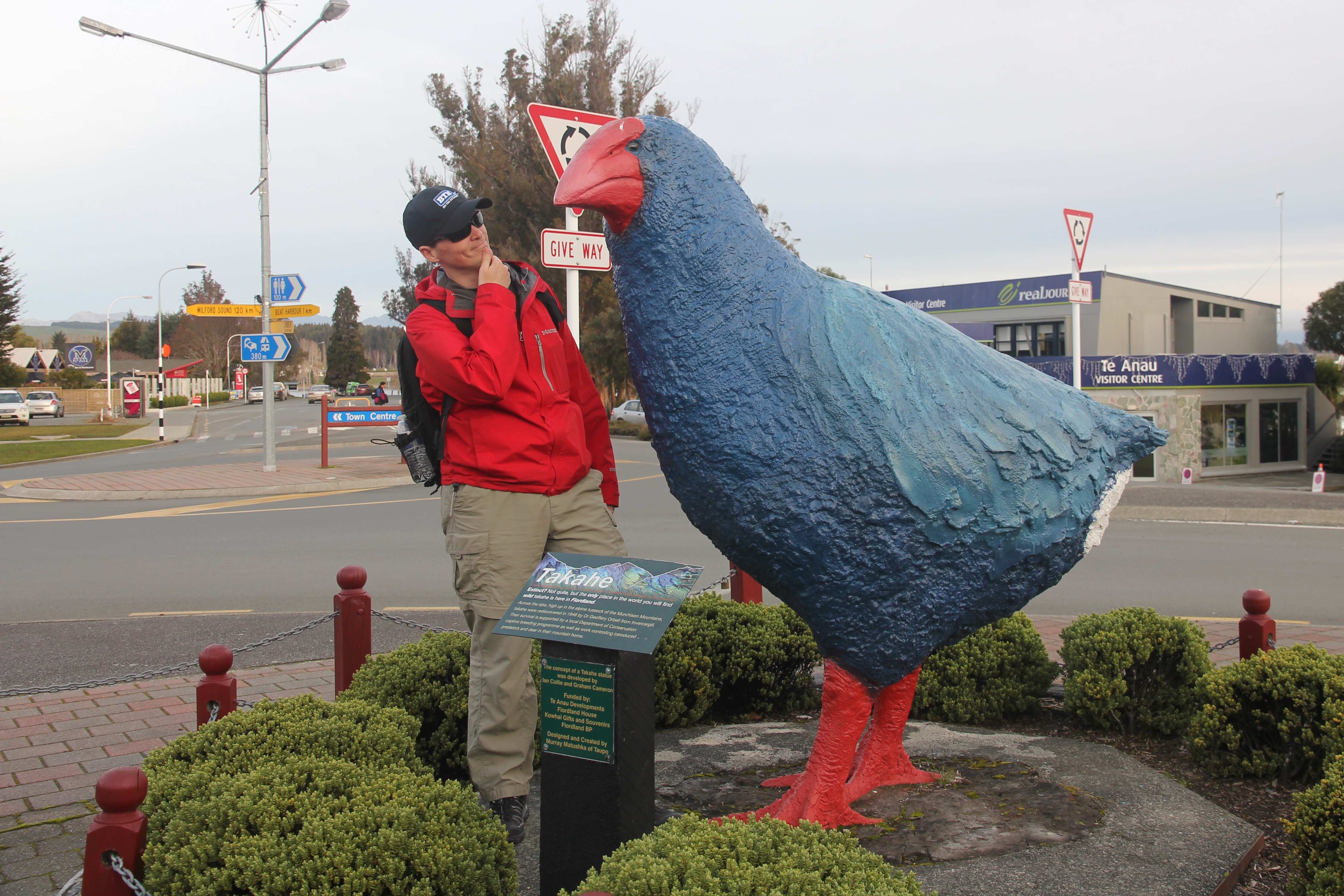
Day 7: Queenstown/Mt. Cook
Another rainy morning in Queenstown, but you know it’ll still be a good day when New Zealand’s More FM is playing their “high school hits” during breakfast, including Rick Astley’s Never Gonna Give You Up and Baha Men’s Who Let the Dogs Out.
After checking out of Browns, we walked up the street to see if the Skyline Queenstown gondola was worth a trip despite the rain. The staff people said it was snowing at the top, but one of the luge courses was scheduled to open shortly… so we decided to go for it.

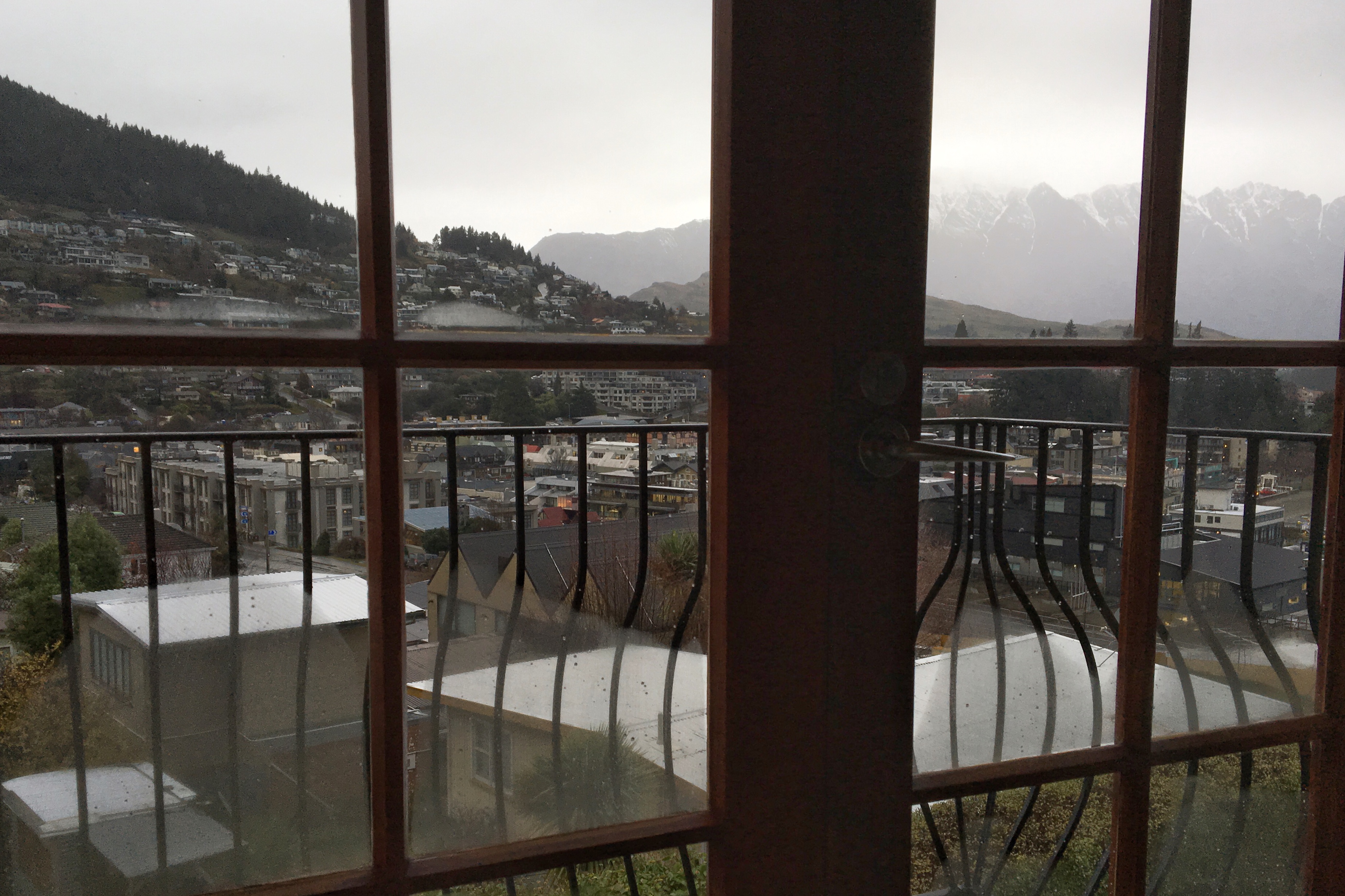
Good view of Queenstown from top of the gondola

Suiting up for the luge

Crews were able to de-ice and clear the snow from one track

View from Skyline north toward Arthur’s Point
Following our luging Grand Prix, we filled up the gas tank and left Queenstown heading north via the Crown Range Road. The New Zealand weather alert service (and a guy at the gas station, for good measure) said we should go around and avoid the snow, but we took our chances with the scenic alpine route.
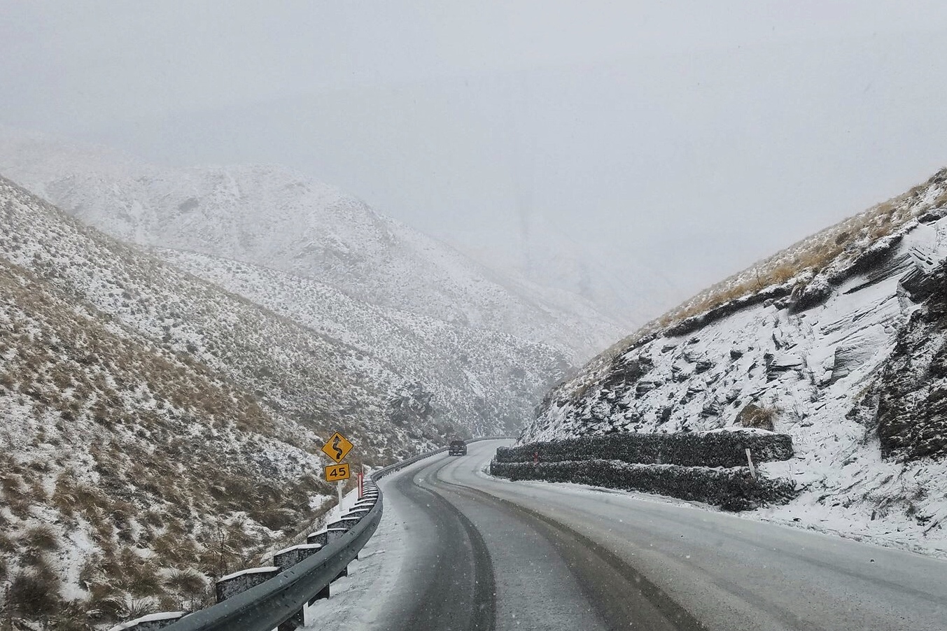
Snowy Crown Range Road

We’ve got the chains, but thankfully don’t need ’em here
Eventually the weather cleared and we passed through Cardrona, where we waved hello to the Snow Farm. The Snow Farm, of course, is the Nordic-style ski resort where we should have been hanging out with our sled dogs pals, but after calling to check again, they said there still wasn’t enough snow.

Cardrona township with Snow Farm road in the distance

You can check out anytime you like, but you can’t go dog sledding today
Our journey north took us through Wanaka, an idyllic lakeside resort community along Lake Wanaka; Omarama, a farming and ranching service town with some cool clay cliff formations we spotted from the road; and Twizel, a hydro-electrical power town home to the landscape where the battle of Pelennor Fields was filmed in LOTR.
We also drove over the highest portion of the South Island highway network at Lindis Pass. Technically, it is not an alpine pass, but it was brisk and windy nonetheless.
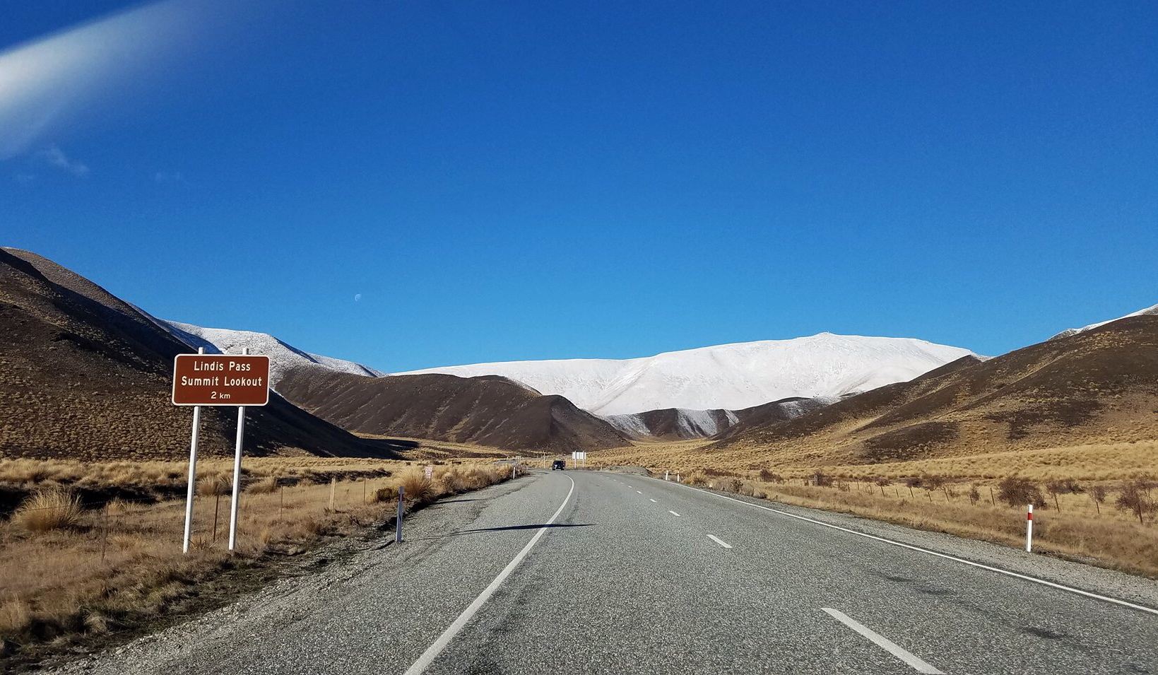
You. Shall. Pass.
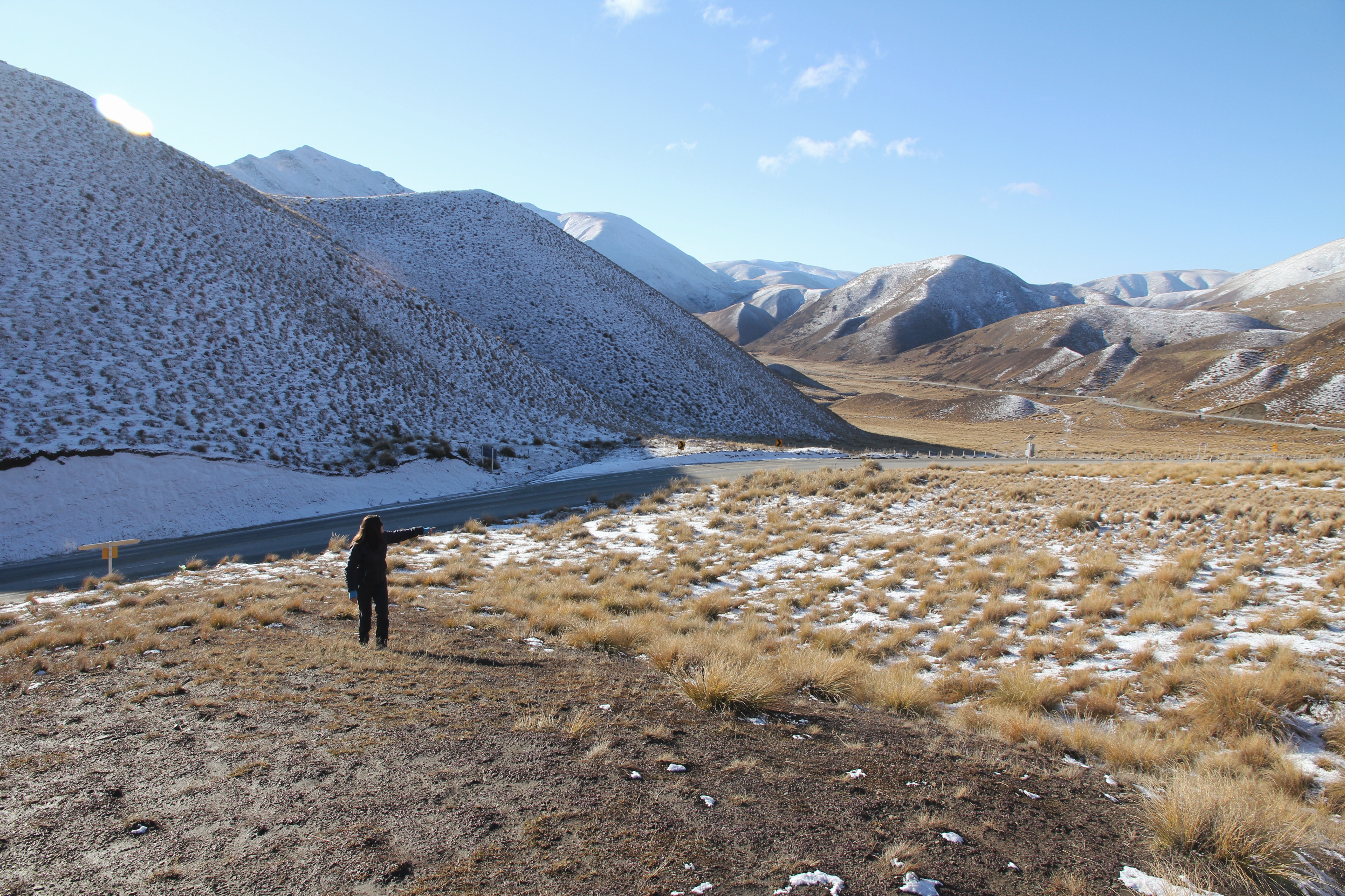
That way!

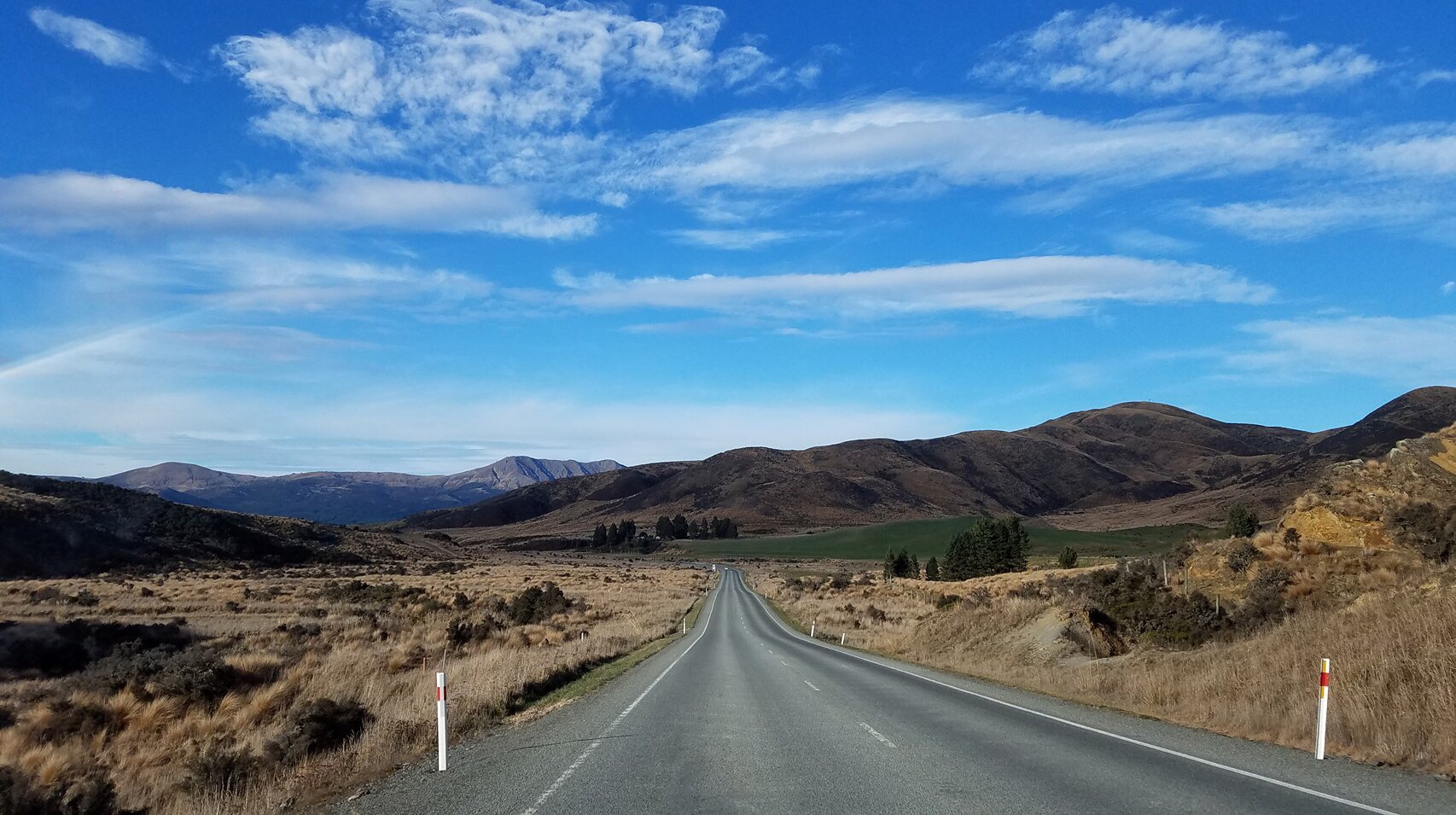
Yellows, browns, whites, blues

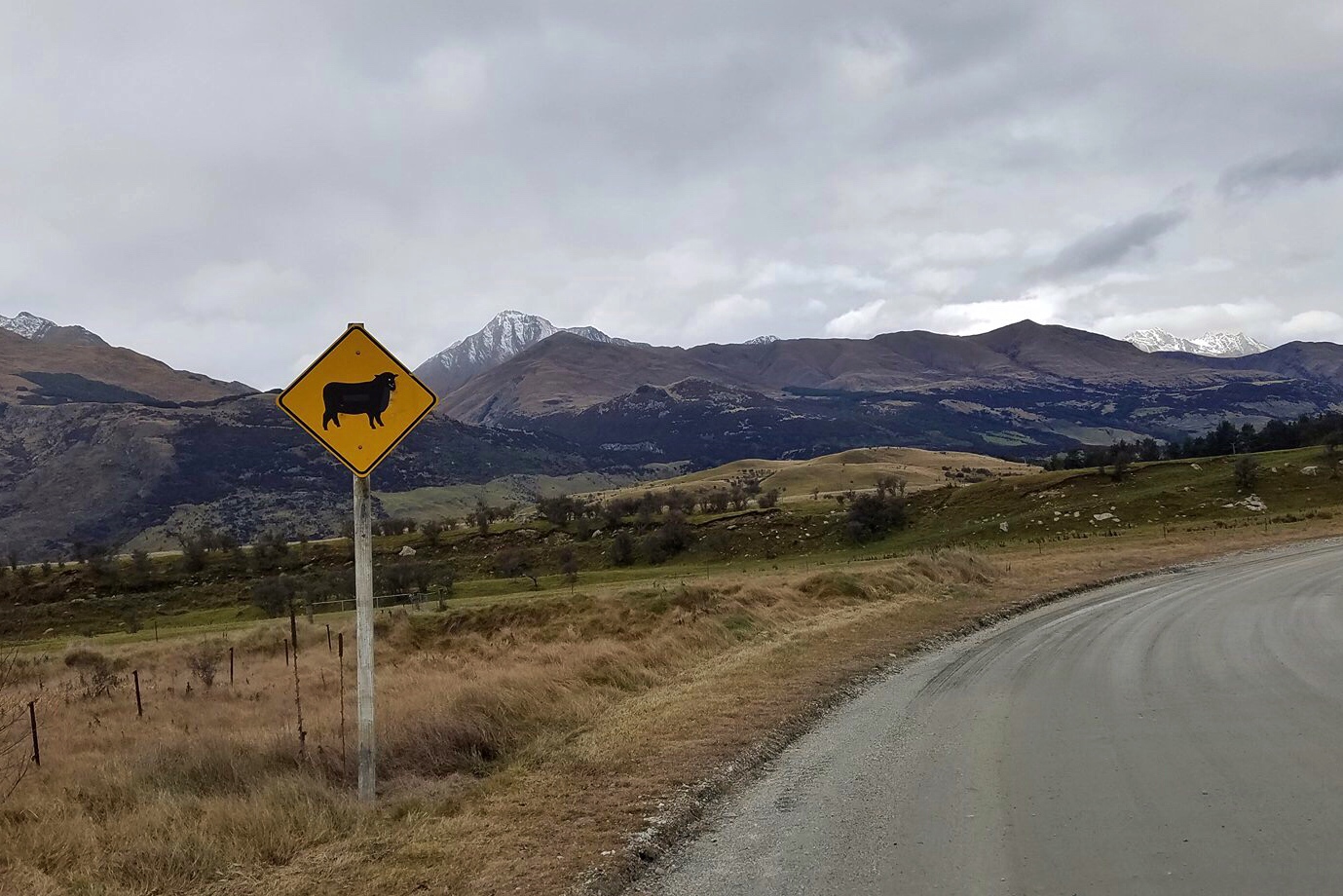
From sheep farms to cattle country
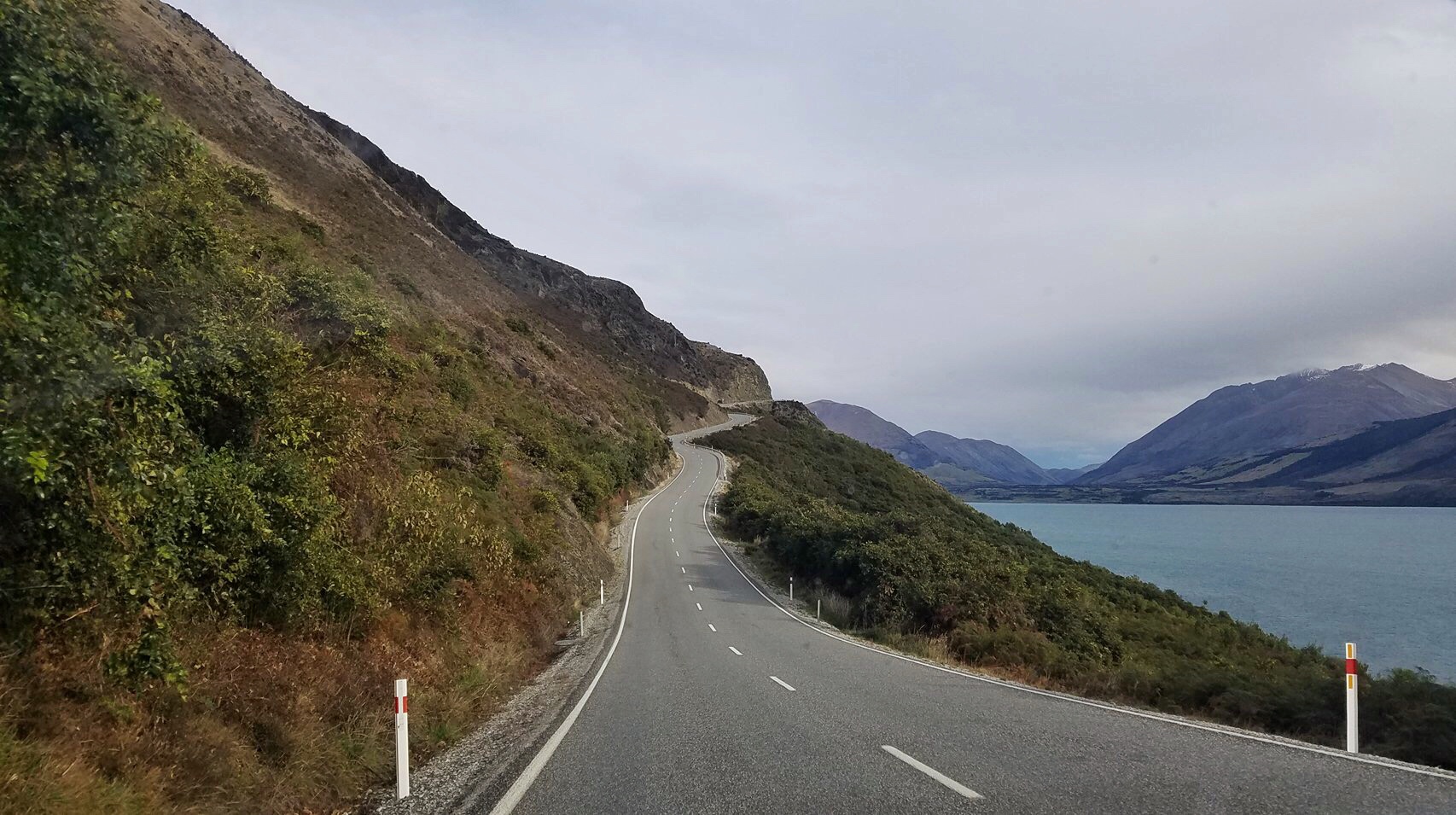
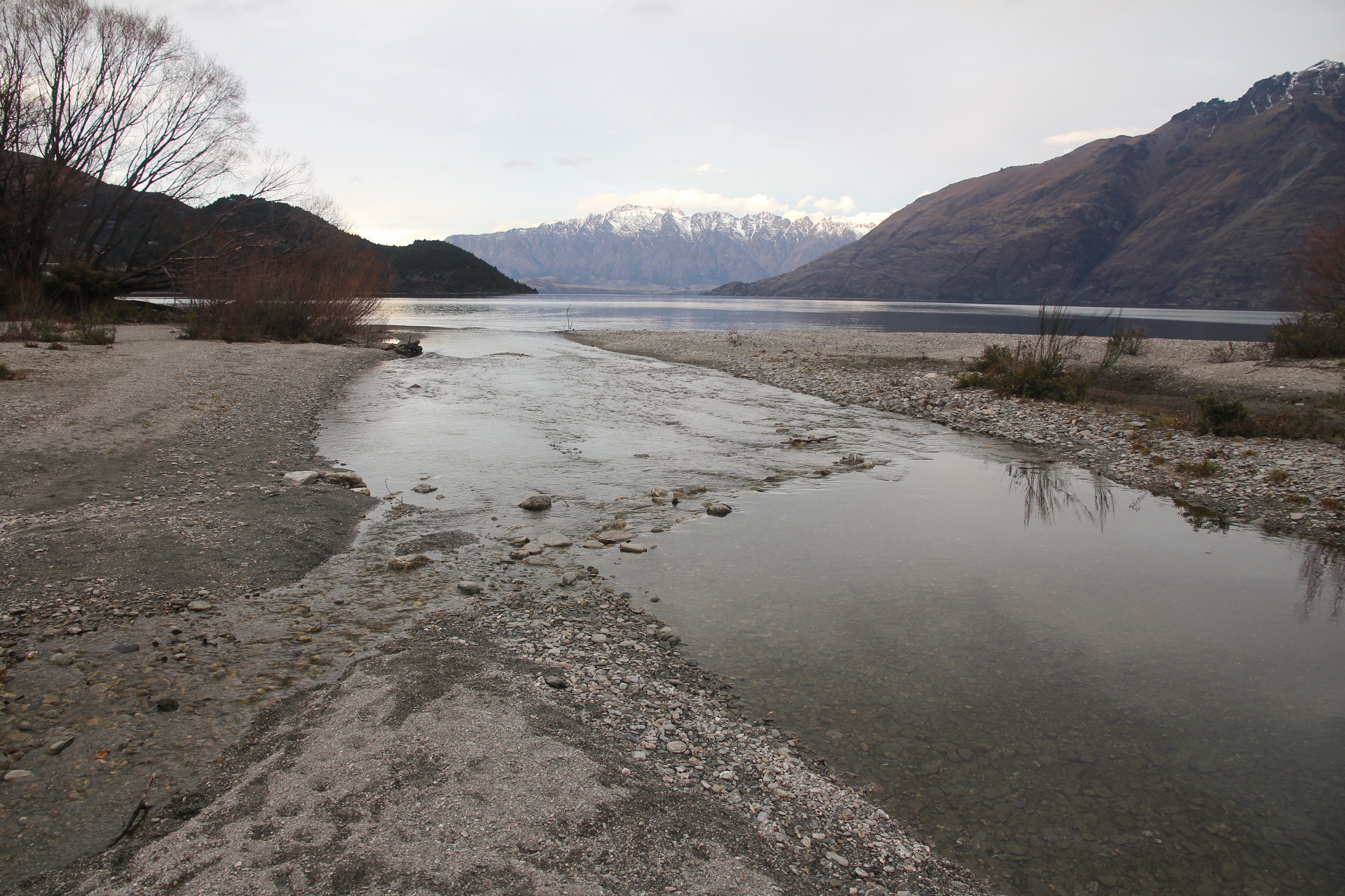
We turned left onto Highway 80, driving alongside Lake Pukaki into Mt. Cook National Park as the sun started to set and some weather appeared to be rolling in from the west.

The turquoise blue waters of Lake Pukaki

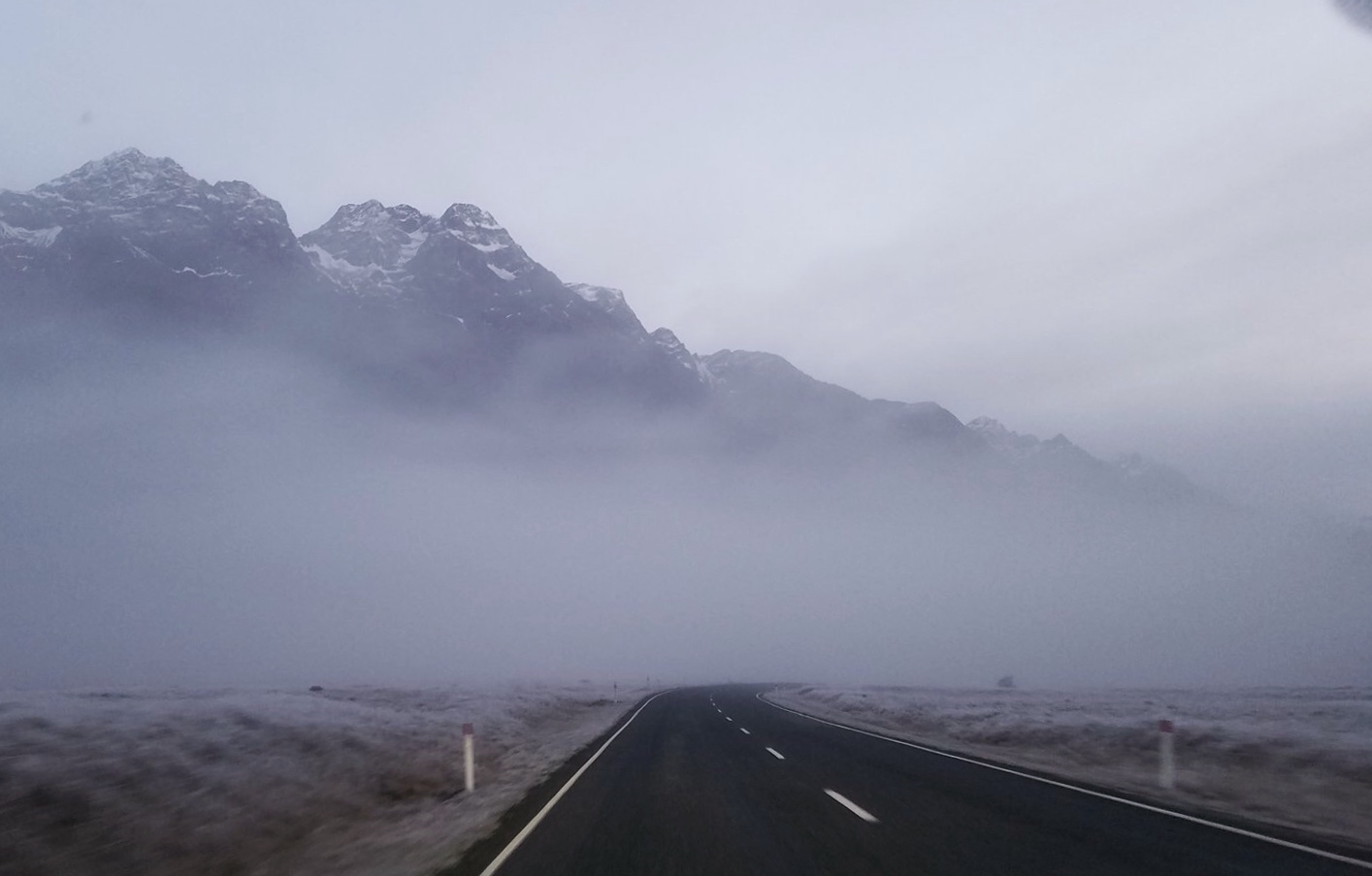
Racing the incoming weather to Mt. Cook

Hermitage to the Hermitage
We made it to the Hermitage Hotel before dark and settled into our room. Then we ventured back outside and walked 15 minutes to the casual pub at the lodge down the road. It wasn’t yet storming outside, but the clouds had definitely closed in and a wintery-mix was brewing.
The pub food was great. And when a technical glitch with the printer delayed our order, we got a couple of free beers out of it. Score! Whatever this New Zealand, Monteith Black Beer is, it is delicious.

Good stuff!
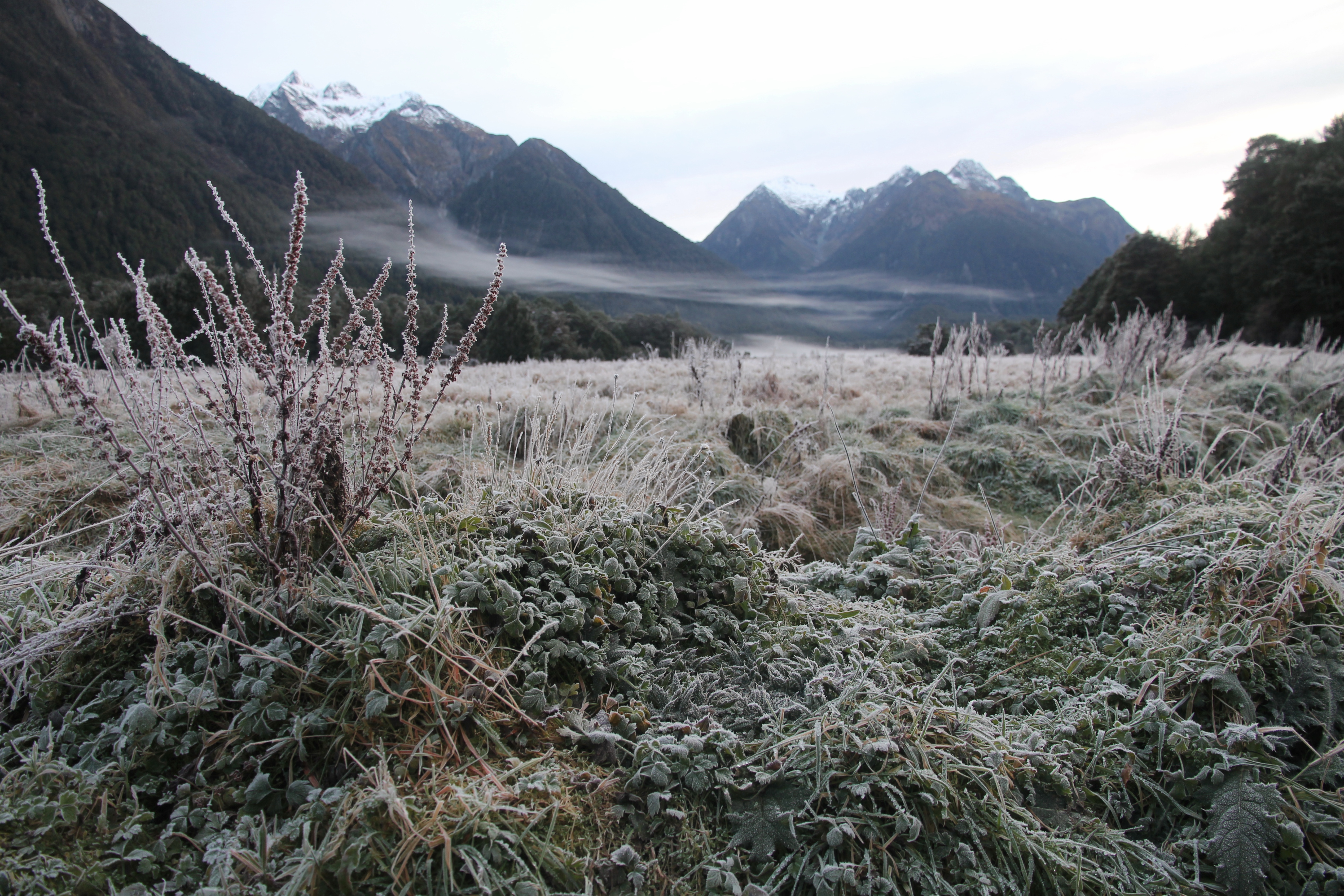
Walking back in the dicey weather, we had a strong feeling our plans for evening stargazing might need a revision. We were right, but they still held the planetarium show for us. Mt. Cook is located in dark sky reserve area, so if the weather is better tomorrow (who knows!?!), we will go out then. Fingers crossed!