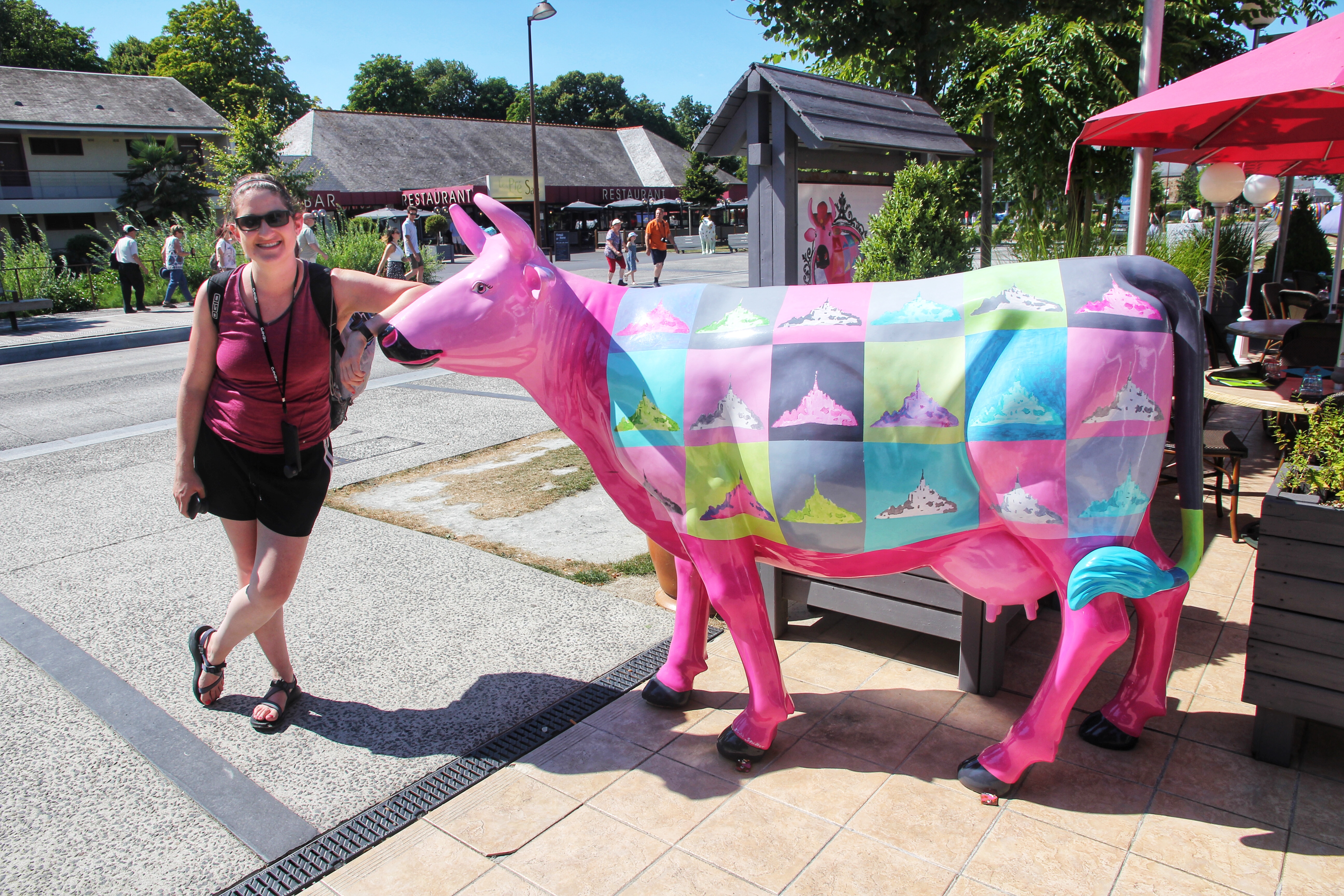
Day 4: Bayeux/Mont Saint-Michel

Today started with a true local specialty: french toast made from scratch by our wonderful B&B host Sandrine. In chatting with her and our fellow guests about upcoming plans over breakfast, everybody ruefully agreed our next stop this evening at Mont Saint-Michel *might* be a fool’s errand into a crowded tourist trap. Hmmm… But have these people ever been to a Blackhawks Championship Parade?!?

Sandrine dons her Bayeux Festival costume for breakfast

More importantly, today was our last day with the world’s best bathroom bay window. With THIS view of the Cathedral spires and the sounds of medieval festival ambiance floating in the air, it was impossible to not start humming the appropriate tune.

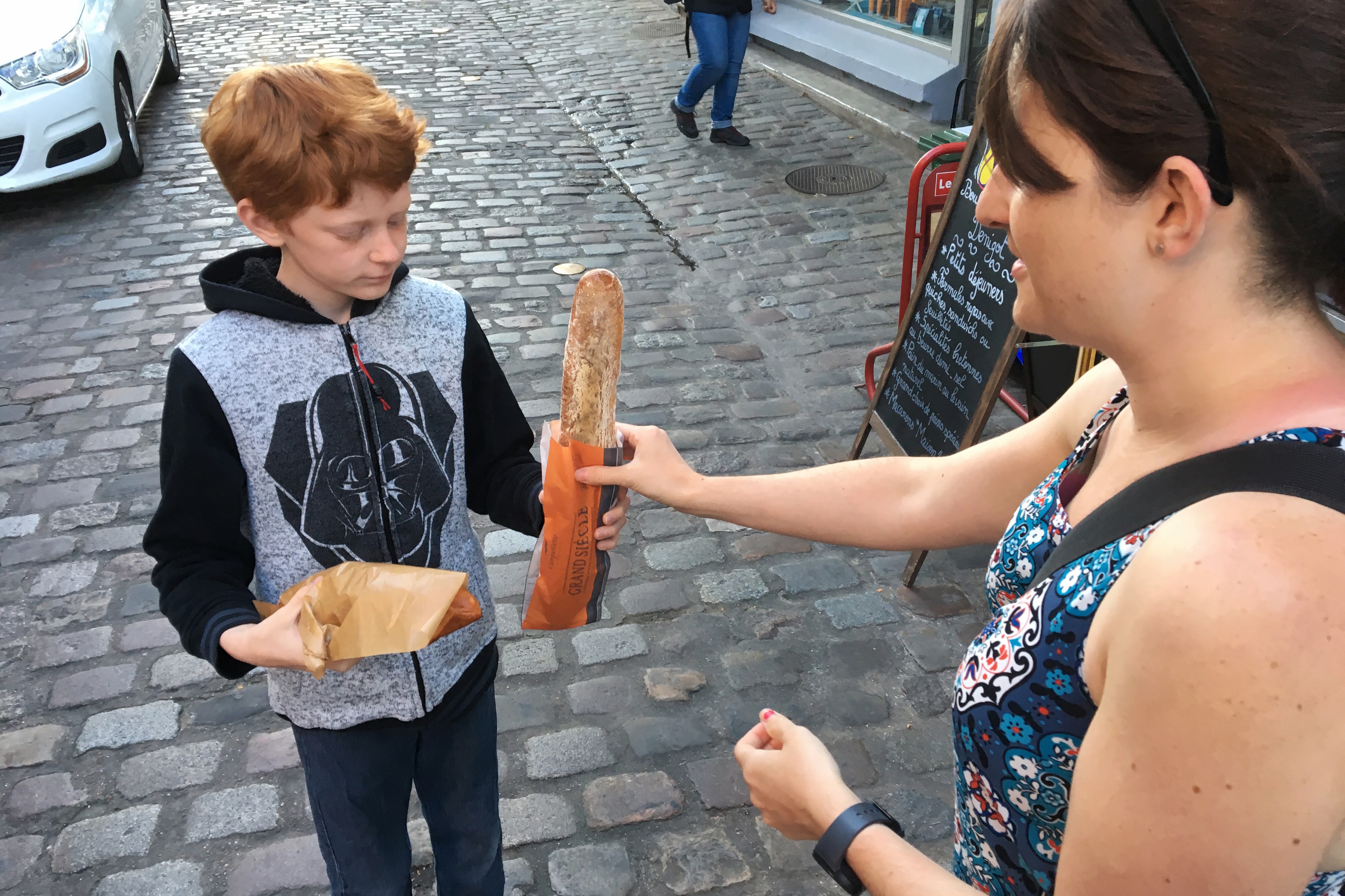
“THERE GOES THE BAKER WITH HIS TRAY, LIKE ALWAYS…”

One item on our Bayeux to-do list we had yet to complete was the Bayeux Tapestry — a UNESCO “Memory of the World” attraction. A quick walk from the house, we arrived at the museum and started with the audio tour that narrates the story depicted in the 224-feet of embroidery.

Haley’s Comet makes a cameo


Harold is not that bad… He saved an opposing soldier from quicksand at Mont Saint-Michel!


Waiting for the post-credit scenes

Thought to be made sometime shortly after the year 1066, the tapestry shows the story of William the Conqueror and his rise to power over Harold the oath-breaker. The rest of the museum features a few exhibits explaining how the tapestry (or really an embroidery) was made, how it has been restored, and more about its storied history.

Hey mom, based on these components, I think your patterns might be drastically under-priced!


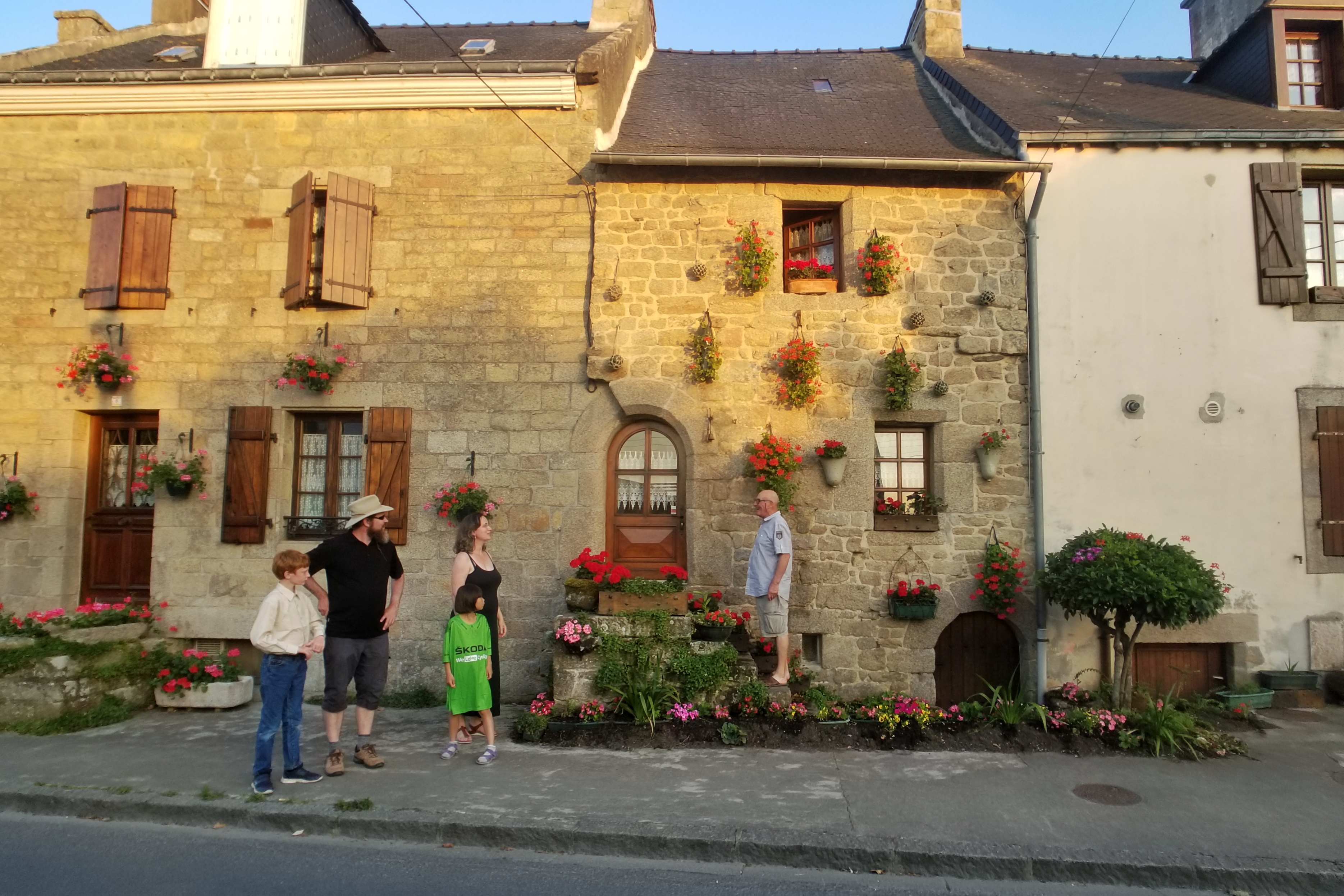
Modern day Bayeux Tapestry near our B&B (building on the left)

Tapestry viewed, we departed Bayeux and headed to the Cimetière Américain de Colleville-sur-Mer near Omaha Beach in Normandy. This well-known American Cemetery honors the troops who died in Europe during WWII. While technically still French soil, as a symbolic gesture, France has granted the land to the US. Arriving just in time for a guided tour with an American Battle Monuments Commission (AMBC) representative, we walked through the cemetery grounds and learned more about the landing at Omaha, the importance of the cemetery, and a few soldiers who are buried there.

Normandy American Cemetery and Memorial in Colleville-sur-Mer


Memorial featuring “Spirit of American Youth” statue


Amid the headstones in the Cemetery


ABMC tour guide highlights a soldier killed 74 years ago to the day


Mosaic ceiling in the Chapel

After the Normandy American Cemetery, we (somewhat purposely) drove the most Normandy-ish back roads we could find in a westerly direction. In part, we were hoping to stumble upon another bar with a TV tuned to the Tour de France. Alas, we could not find anything resembling a “sports bar” or “French restaurant open in the middle of the afternoon.”

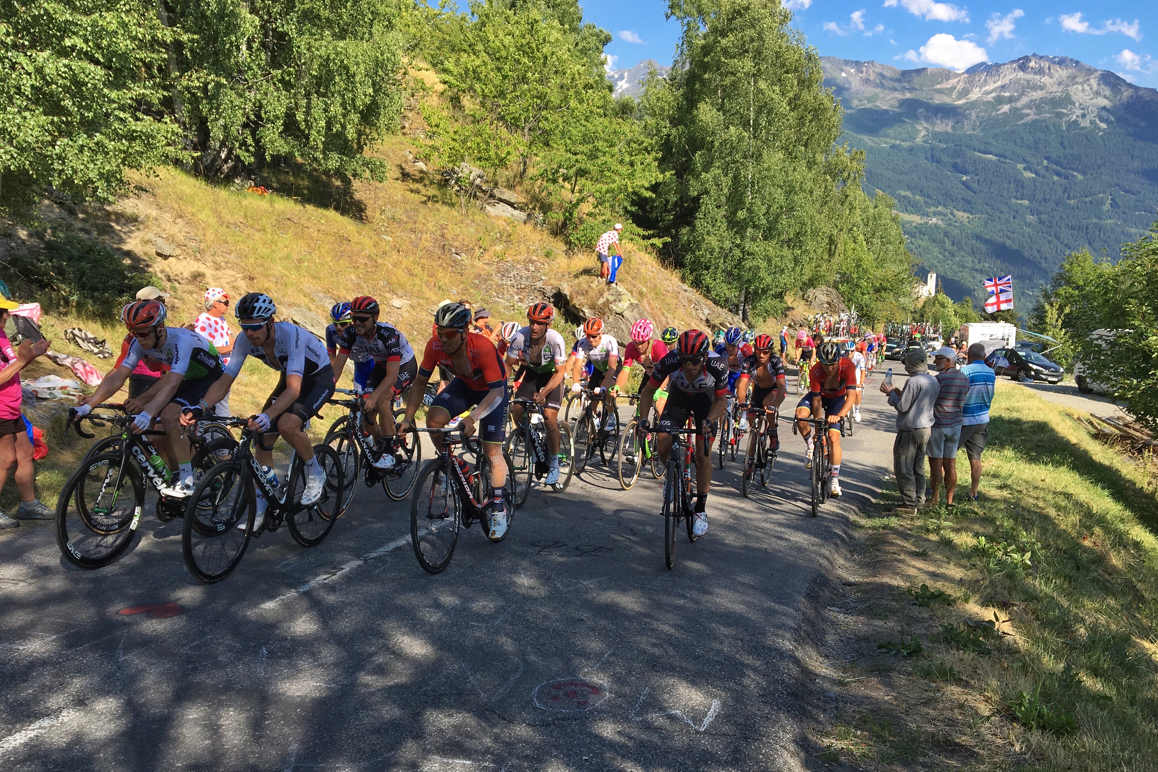
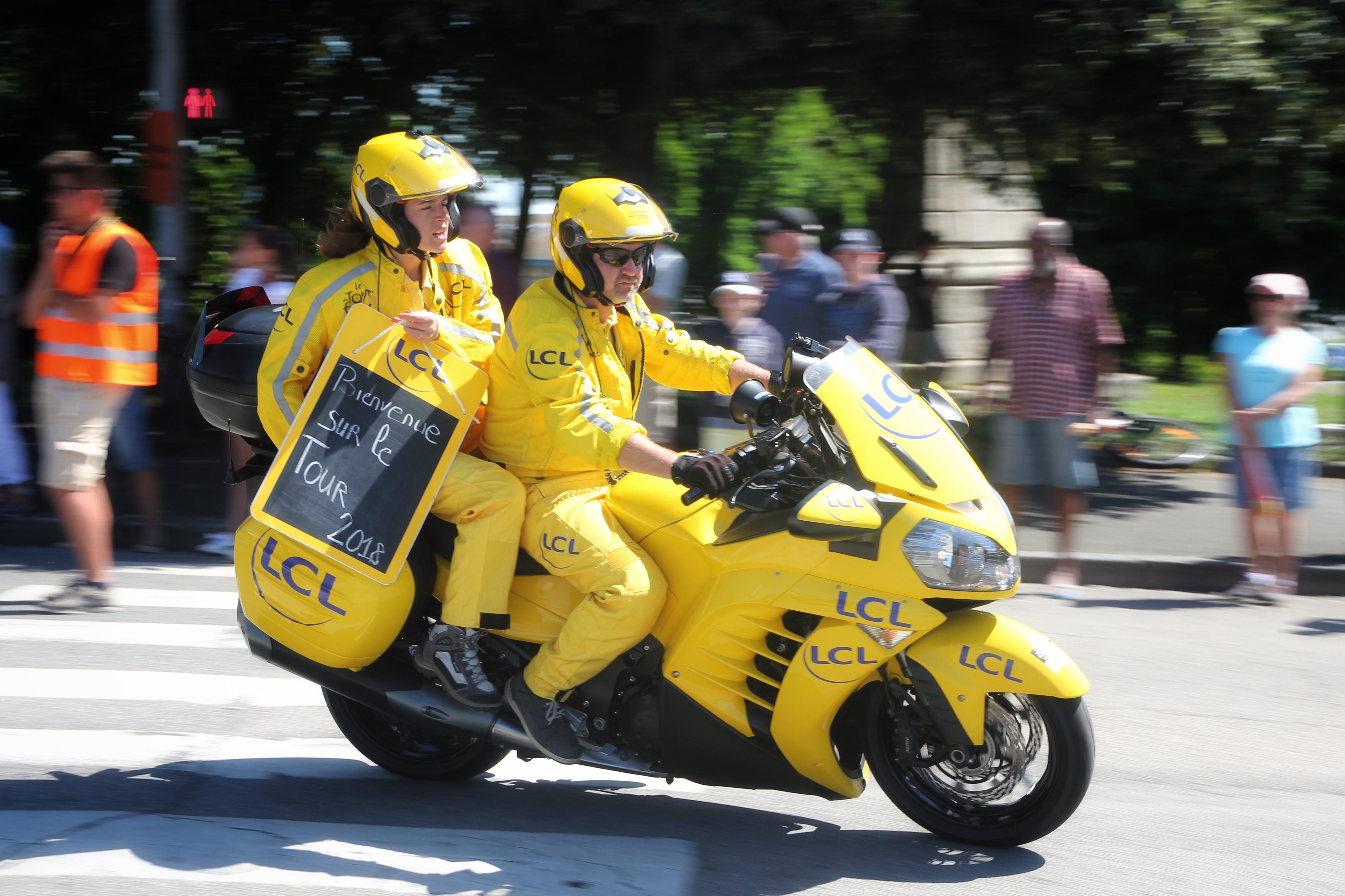
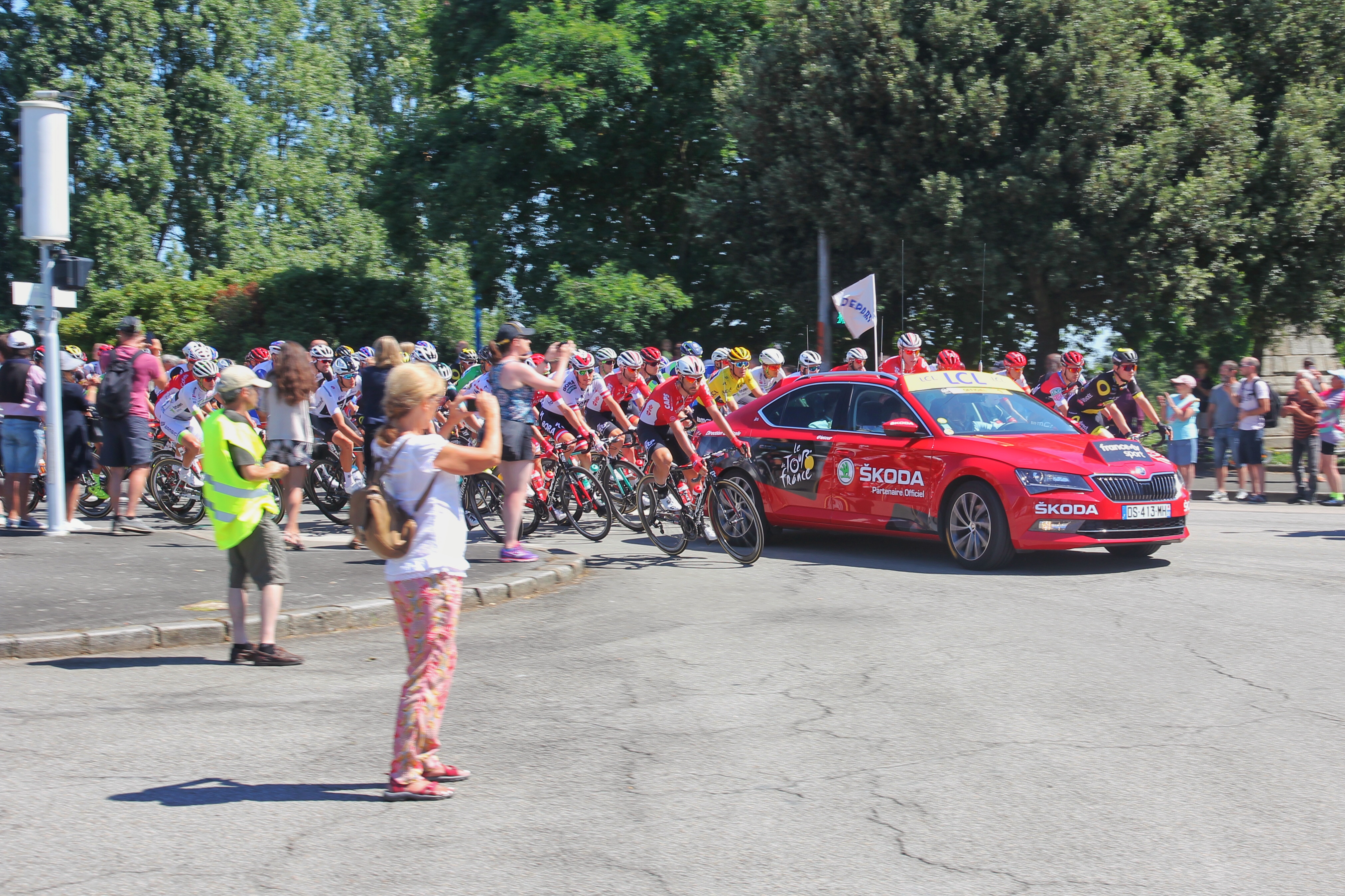
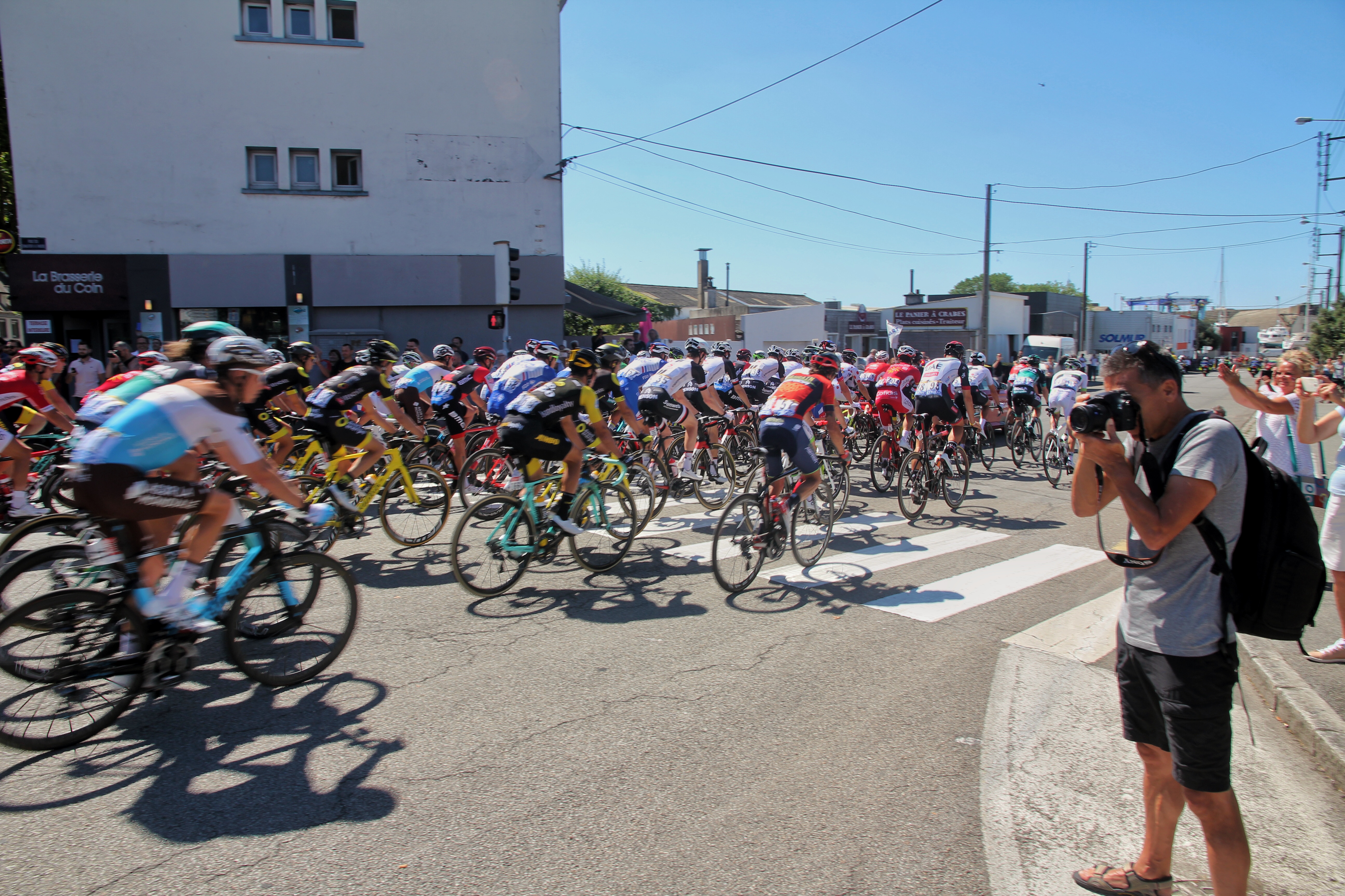
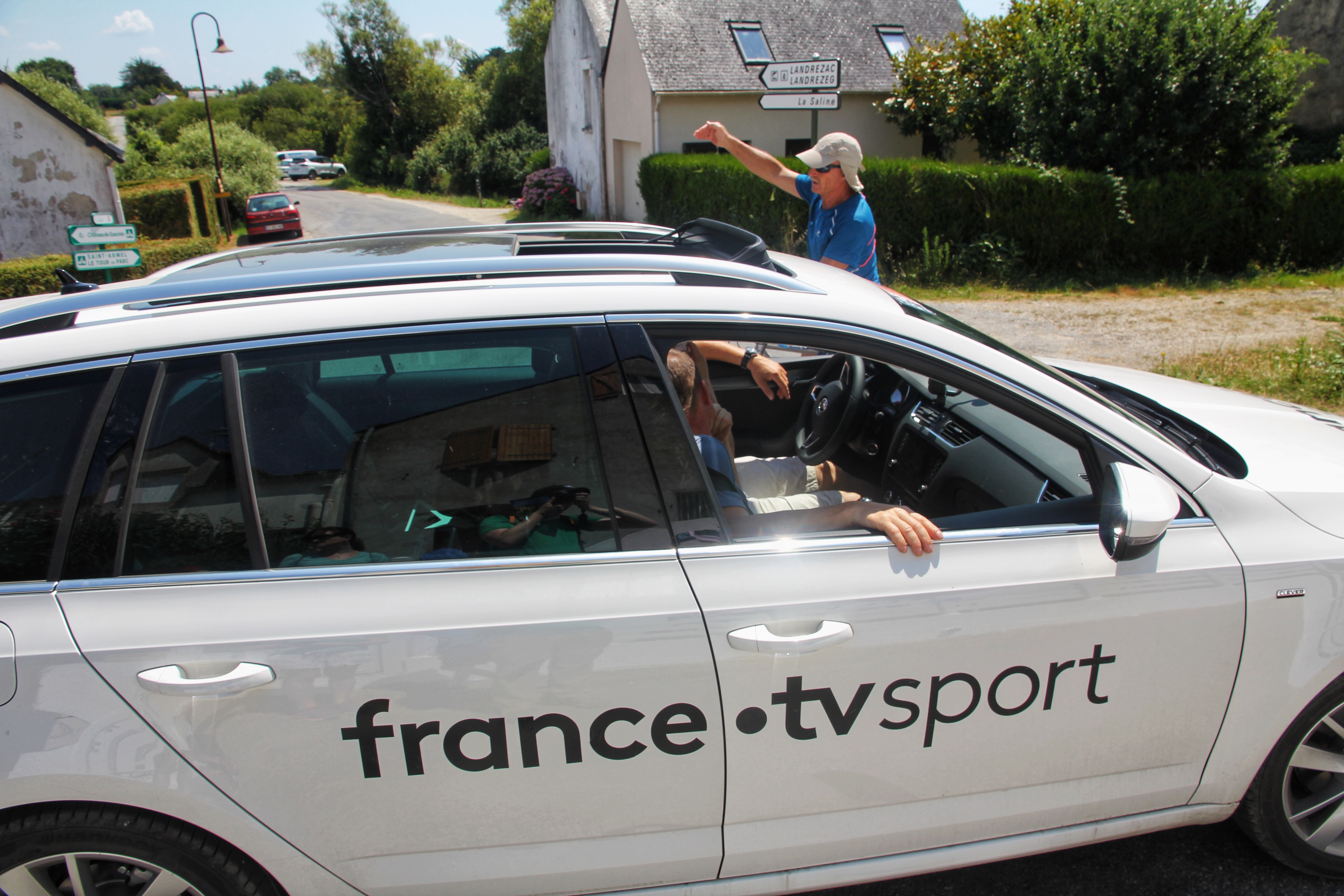
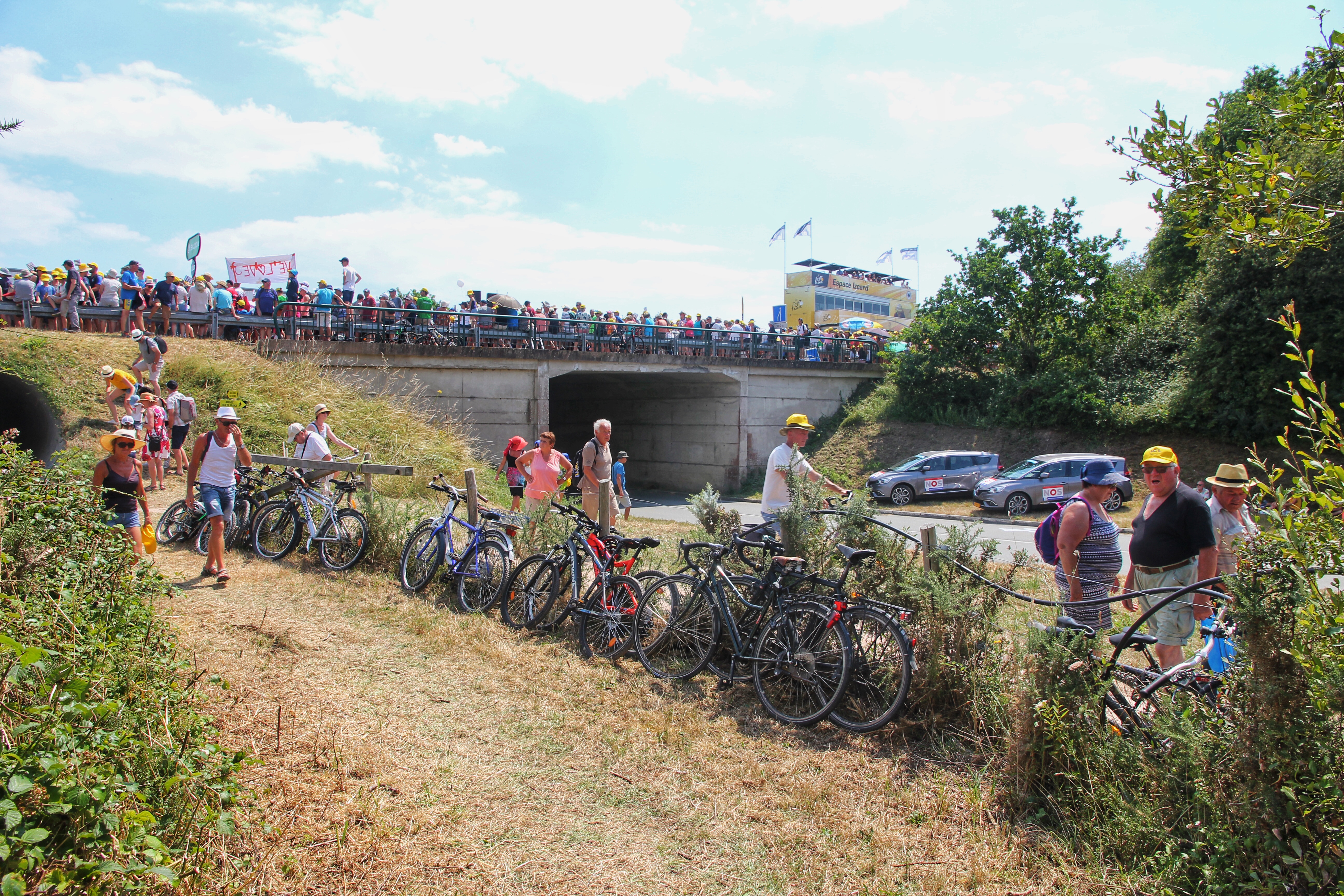
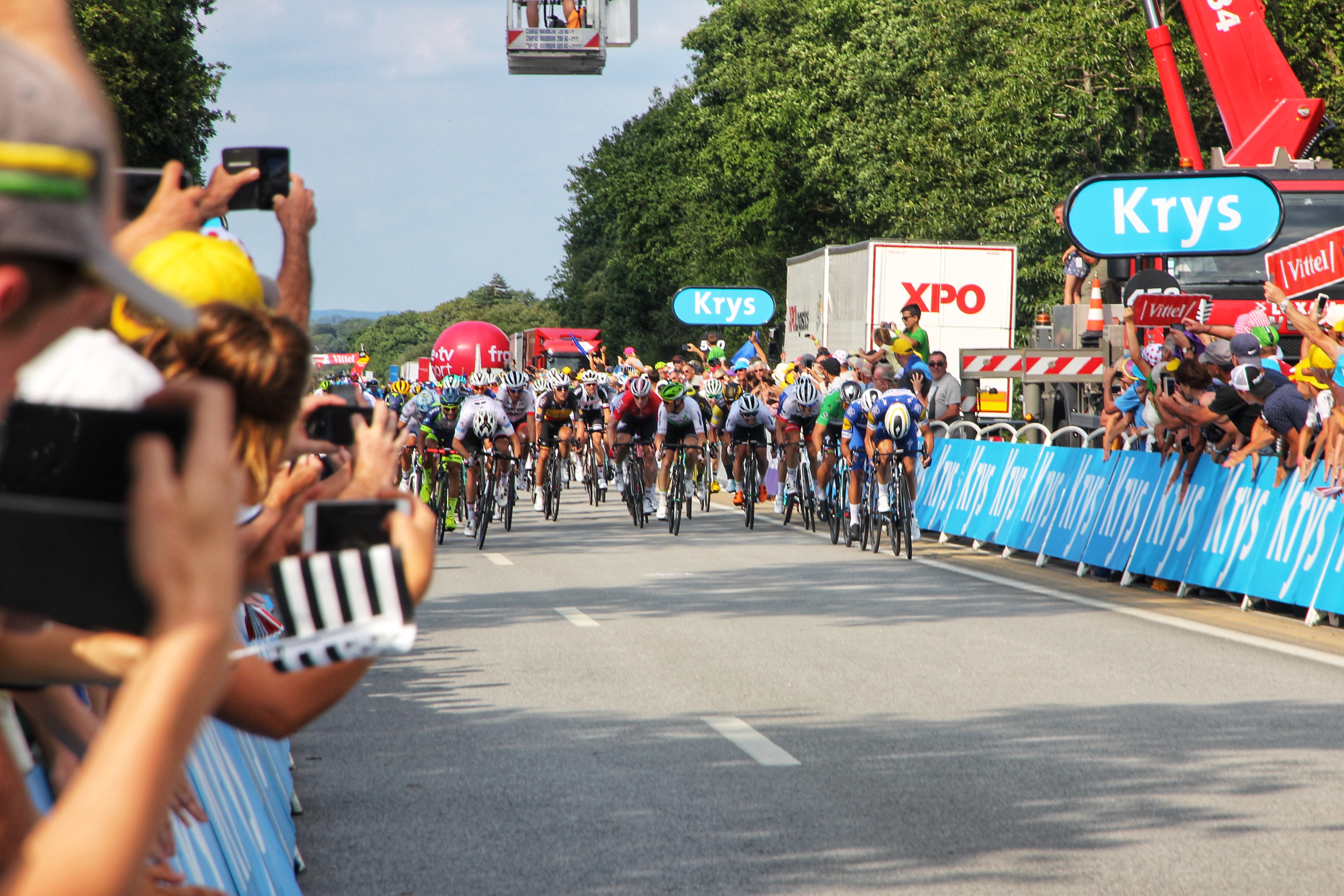
However, we did find various public officials informing us our back road choices were part of a local bike race of some sort — which funneled us towards even more obscure back roads through the beautiful Normandy countryside (bonus). Soaking up the scenery, we eventually made our way back to the main roads and toward our next destination: Mont Saint-Michel.

Horsing around on Normandy back roads

As mentioned above, everyone we talked to in France was passing along dismal reviews of their trips to Mont Saint-Michel, mostly due to the touristy nature of the place — large crowds and overpriced food. You know, the Navy Pier of France. So, to be safe, we lowered expectations, pulled into reserved parking lot P3, and packed our overnight bags for the hike to the island.

We are hoping it is more isolated after closing time


Crossing the bridge

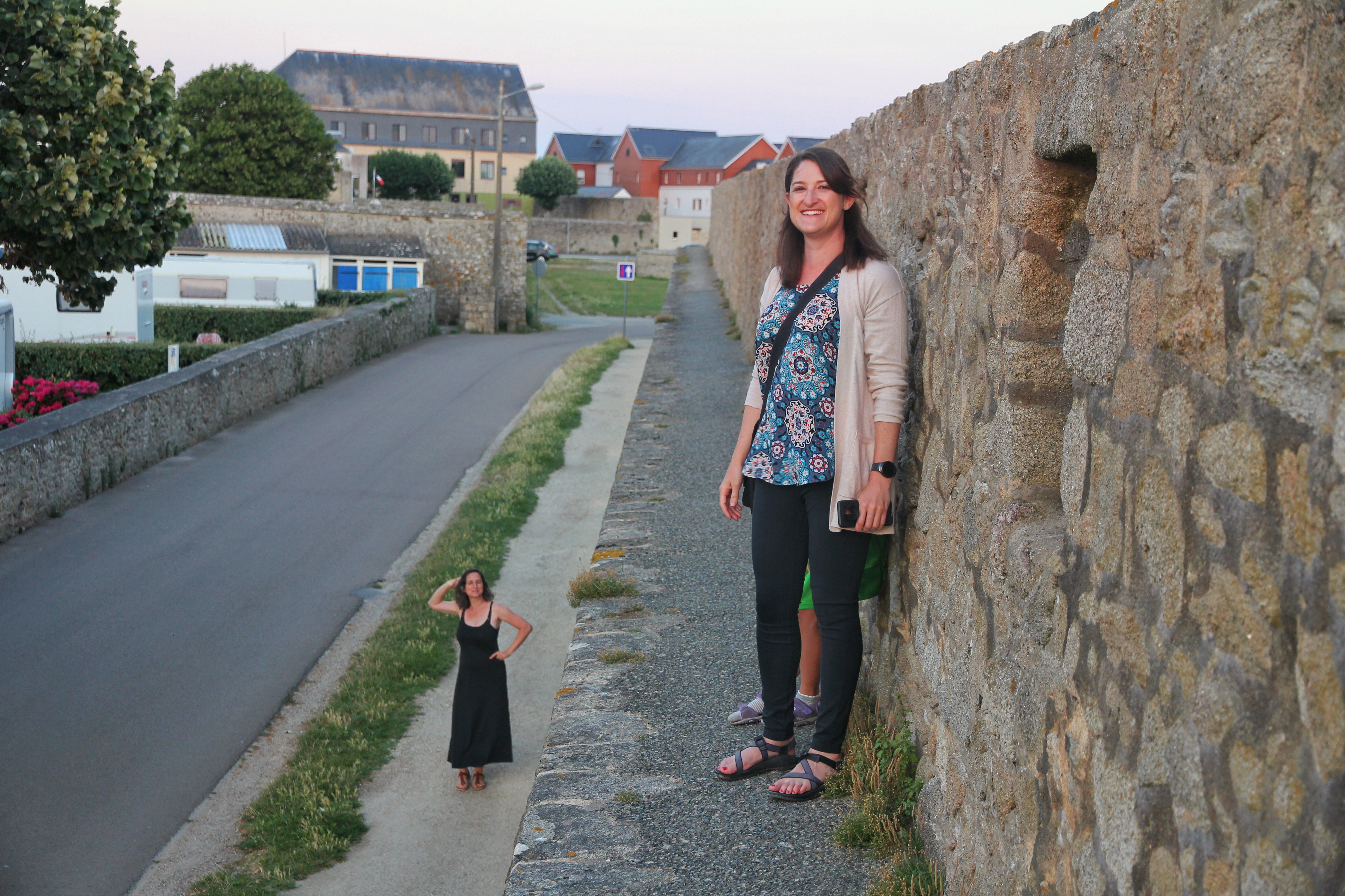
We opted for the 1.5 mike walk from the parking lot rather than attempt the shuttle bus because you’ve gotta pilgrimage properly! We managed to find and check into our hotel about 15 minutes before closing time, then we immediately set out to explore the area on and around the Mont. Our plan to arrive after closing seemed to work great, as there were only a few people walking around, making the experience quite pleasant.

One reason Mont Saint-Michel has never been breached


Scouting the Abbey entrance


Mont Saint-Michel at low tide in evening


Sunset casts a glow on Mont Saint Michel


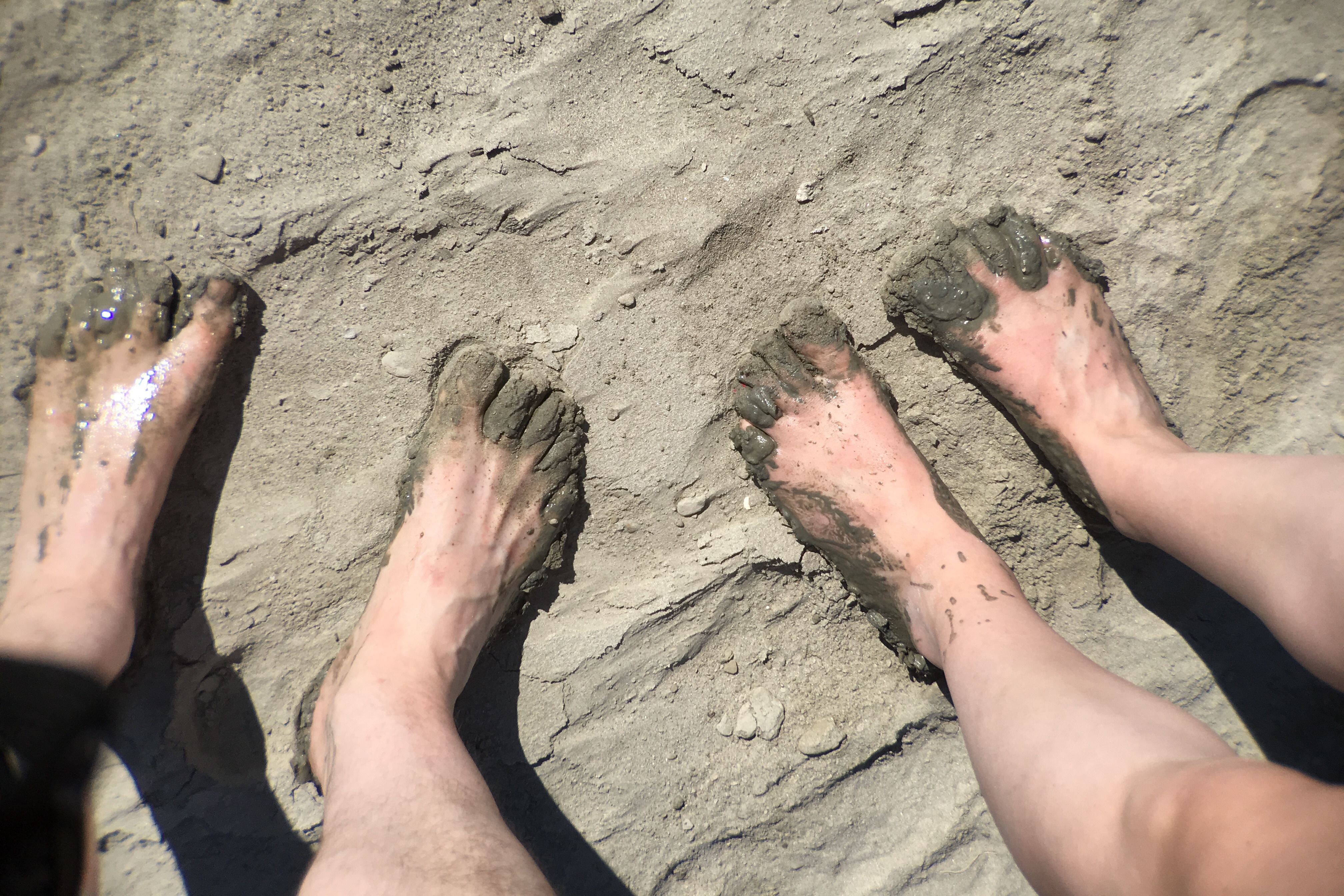
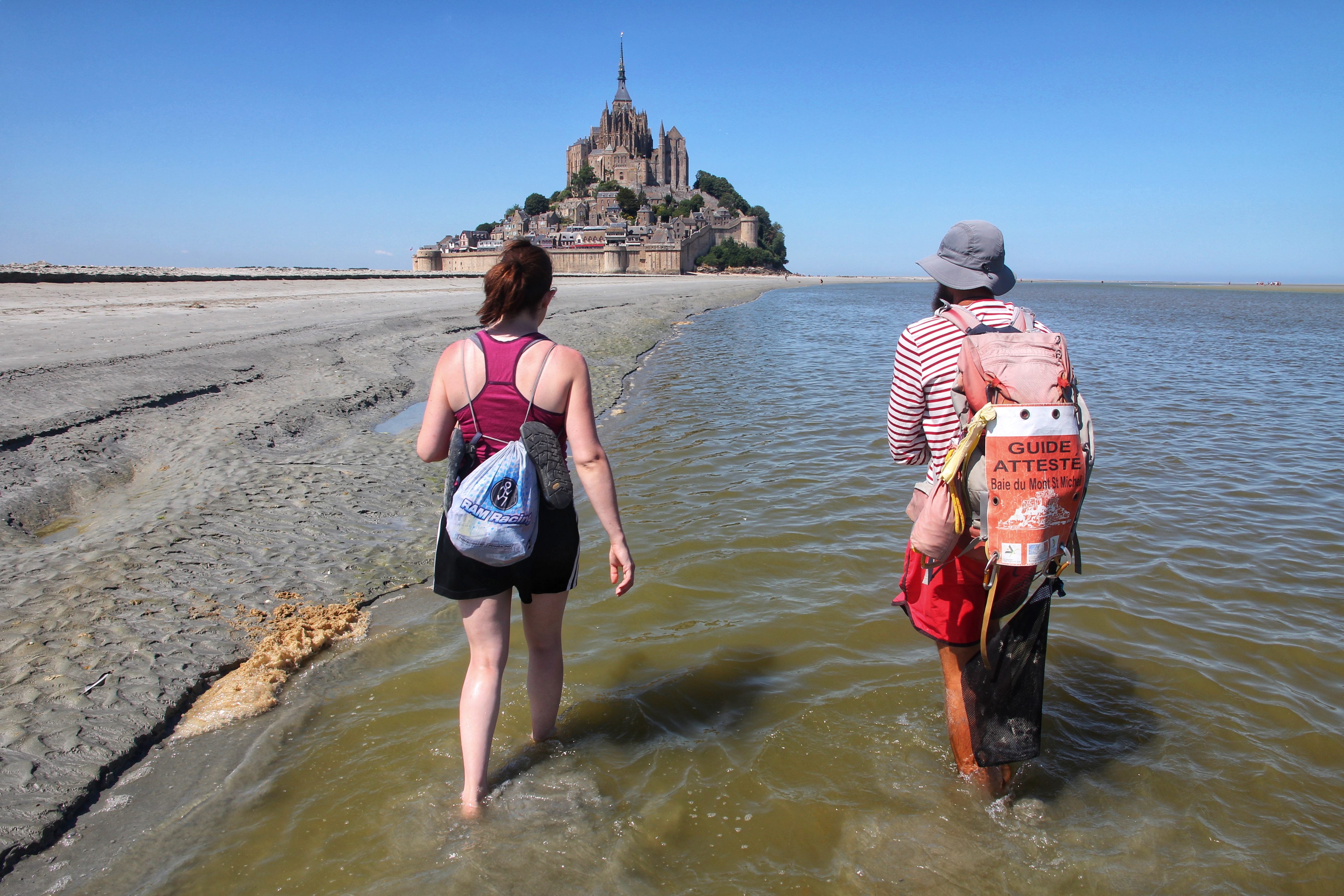
Watch out for the quicksand

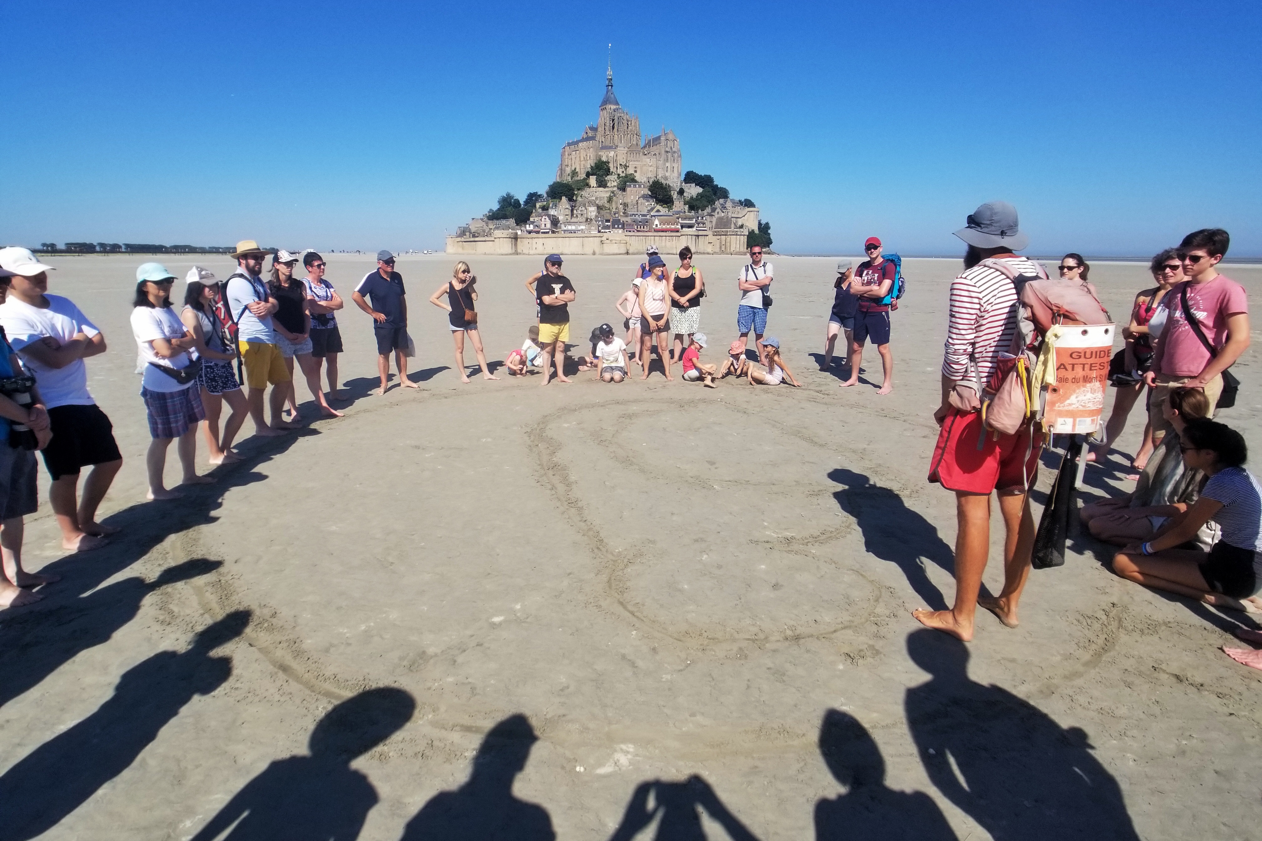
Tomorrow we hope to find a guide to take us on a hike in the bay when the tide is out. You have to have a guide to make sure you don’t fall in quick sand or get overtaken when the tide comes back in. So, that should be fun! After that, hopefully we can check out the Abbey when it is open. However, as everybody has warned us… if the tides don’t overtake us, the crowds might. We shall see!

Day 3: Normandy

With our friendly B&B in Bayeux as home base, we set out today with the intention of exploring the most interesting D-Day locations along the Normandy beaches that we have read and/or heard about.

But first! French breakfast

Starting furthest west (on the Cotentin Peninsula) and working our way back east, we made our first stop at Sainte-Mére-Eglise, which is fitting given its history in the war. It was in and around this town where American paratroopers landed during the early morning hours of June 6th, 1944, and became the first to engage the Germans behind enemy lines.

Paratrooper landings near
Sainte-Mère-Église in the Cotentin Peninsula


Church in
Sainte-Mère-Église

To commemorate this event, the church maintains a parachute and a paratrooper figure atop the bell tower to honor the real-life story of the paratrooper who was hung up in the same location on D-Day. Additionally, a couple of the stained glass windows in the church now feature paratroopers and military insignias alongside the Virgin Mary and Saint Michael.

Dummy paratrooper on the church spire (based on John Steele)


Stained glass window dedicated to paratroopers

Making a quick stop in the town visitor center, we received a map and a friendly staffer circled points of interest for a self-guided walking tour. Well… that took us about 10 minutes and was “highlighted” by a company that makes parachute-shaped biscuits. So we were about to depart, but we decided to check out the Airborne Museum as well. What a pleasant surprise!

The museum documents the involvement of the 82nd and 101st Airborne Divisions in Operation Neptune. The museum also had this new-fangled technology (ok, it’s a tablet) called the “HistoPad” which was loaded with interactive software (the cool part) that gave us a deep dive into the history of these paratrooper missions and the aircraft that was used.

WACO glider used by 82nd and 101st airborne divisions on D-Day


The HistoPads were great!

Primarily because it was awesome, the Airborne Museum took us longer than expected, and by the time we finished, we were definitely ready to find some lunch. While hunting for a food solution in the land of random French restaurant hours, we stopped by the German bunkers/gun installation at Azeville, but discovered it would involve becoming mole people for the next couple hours and that seemed like a crazy plan on such a nice afternoon.

Continuing on back-country roads heading east towards Utah Beach, we stumbled upon a seaside sandwich shop and bar that was actually open! Even better, we found a bunch of locals watching the first stage of the Tour de France on the TV inside. The place featured the exact menu for what we craved (burgers) and our stop coincided with the last 20km of the race. Perfect timing and perfect lunch!

The Tour is underway!

We continued on to Utah Beah and explored their museum as well as the memorials outside. Some of the museum content was somewhat similar to the Airborne Museum, but it did cover more of the naval and infantry components to the landing on Utah Beach. Plus, the museum featured an original (restored) B26 bomber.

Higgins Boat monument


Good at transporting tanks, not so great at evasion


Restored B26 bomber “Dinah-Might”

Utah Beach, while draped in history and bordered with memorials, is now simply a beach. Complete with swimmers, sun tanners, and kite flyers, there was a drastic difference in tone between the museum side and the beach side, though only a few steps from each other.

Utah Beach Museum photo of D-Day (not sure which beach) on June 6, 1944


Photo of Utah Beach on July 7, 2018

After Utah Beach, we drove south and east off the Cotentin Peninsula, back toward the Pointe du Hoc Ranger Monument (about 40 minutes). Situated just to the west of Ohmaha Beach, this monument pays homage to the rangers who scaled the cliffs in order to overtake and disable the German guns before they could fire at the troops landing on the beaches. It also makes a wonderful lookout point over the English Channel.

Pointe du Hoc Monument


It’s insane the Rangers scaled these cliffs


Landscape is littered with crater holes atop the cliffs

We took the scenic route back to Bayeux to finish out the night. Once again claiming residence within the blocked off streets, we snagged a parking spot directly in front of our B&B, and even successfully parked halfway on the sidewalk as apparently is the norm.

We are actually facing the right direction here!

We returned to the Medieval Festival for dinner and intelligently purchased the entire bottle of cider this time. After a stroll around the shops and a quick visit inside the Bayeux Cathedral, we made it back to the room to catch up on some much needed sleep.

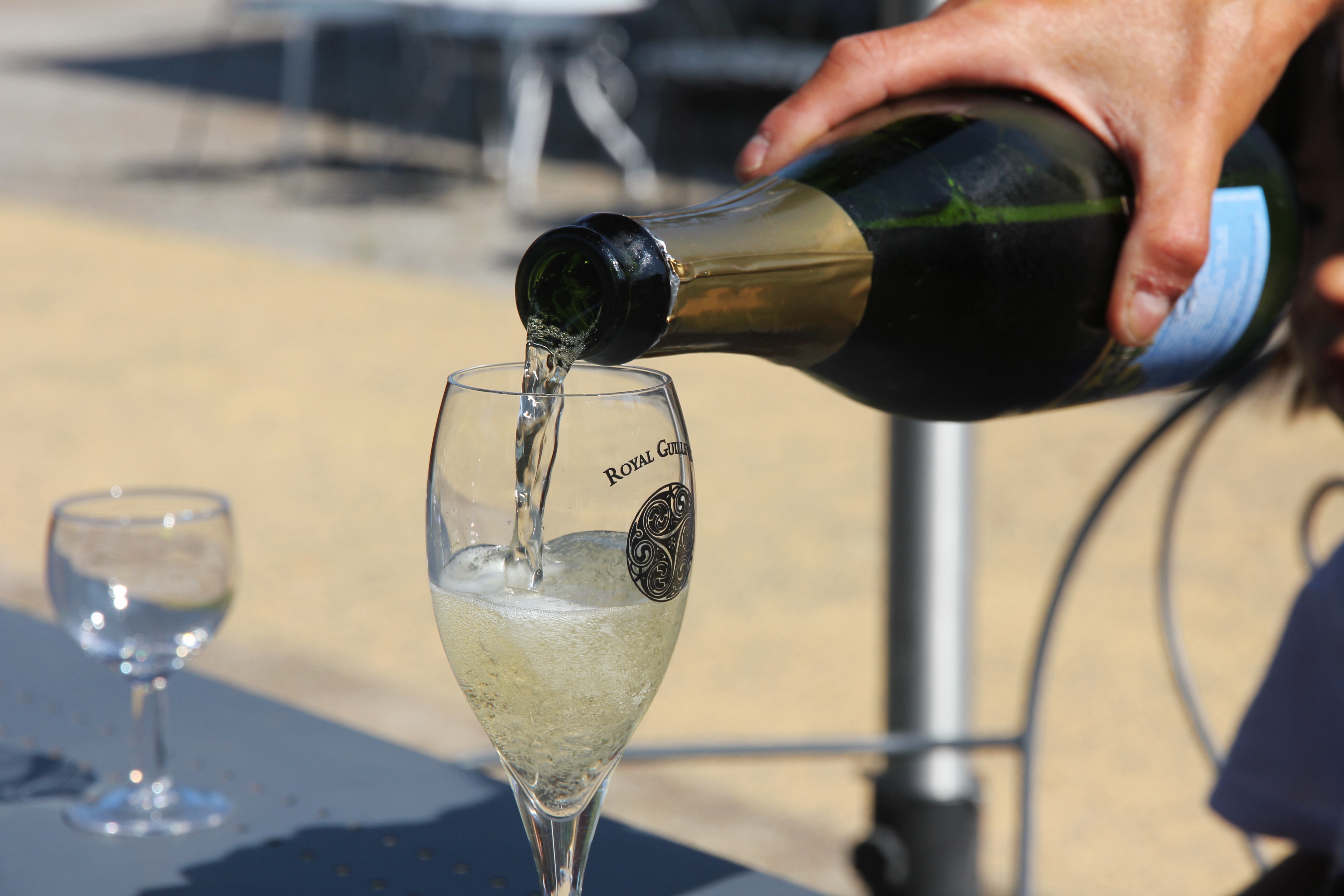
Extremely local cidre!


Inside the Bayeux Cathedral


If you Catholic well, they retire you to the ceiling, just like pro sports


Our favorite food booth (and cidre-producer) at the festival

Tomorrow we’ll finish up in Bayeux and continue west!

Day 2: Caen/Bayeux

The first lesson of the day was how to eat breakfast like the French. Basically, get some delicious homemade bread, spread some local soft cheeses on it, top that with a bit of fresh jam and — bam! — you’ve got yourself a spectacular culinary wake-up call.

Sea mist coverage was at “split-pea” levels today

After breakfast, we considered taking a quick walk around the cliffs again, but the “sea mist” (warm air mixed with the cold ocean water) created a thick blanket of fog to block any views. Estelle said because the tide was already low, the fog was likely to stick around for a while, so… not a problem, we packed up and got a head start towards Bayeux.

Big bridge on A29 over Seine River delta near Honfleur

Our route to Bayeux took us near the port cities of Le Havre and Honfleur, and then into Caen. As we zipped around the city on the “peripherique route,” it occurred to us that today would be a great time to visit the Caen-Normandie Mémorial, rather than backtrack tomorrow or Sunday. We punched in the new address to the handy GPS and found the museum right away.

Caen-Normandy WWII Memorial Museum

The Caen-Normandie Mémorial is dedicated to the Battle for Normandy and the complete history of WWII. The location has memorial gardens, and is situated above the bunker the 716th German Infantry Division used as the headquarters during the Occupation and the Battle of Normandy. The 70-meter long bunker is still standing as an exhibit, and the museum is literally built on top of it.

The museum features impressive exhibits and audio guides


And an exhaustive level of detail throughout


Poster for the French Liberation movement


Table model of D-Day, aka. Operation Neptune


Rifle on top recovered in 1944… Rifle on bottom found in 2013

After about five informative and occasionally sobering hours, we covered the entire museum, the video presentation, the German bunker, and the extra wing of the museum focusing on how WWII transitioned into the Cold War. We even stopped by the bistro and the book shop.

Delicious D-Day brew for lunch


Bailey Bridge and elevator down to the German bunker


First, this is a terrible idea. Second, all versions of Monopoly should include this warning.

With the Caen Memorial successfully in the books, we continued onward to Bayeux. Keeping with our tradition of coincidentally planning stays in towns with festivals, it turns out our B&B in Bayeux is one block away from the town’s annual Midieval Festival — Les Medievales de Bayeux! Our place is so downtown, we were initially turned away by security guards shutting down the streets for the 8PM parade.

Which brings us to the second lesson of the day… leveraging our printed maps (preparation!) and the French version of our hotel confirmation (bonus preparation!) to convince two friendly security guards to let us past the blockade into the downtown area. After passing that test, we quickly checked in, dropped off our bags, and went out to find the aformentioned parade.

Gothic tower of the Bayeux Cathedral built in 1077


Gathering for the Grand Parade


Prime parade viewing location


Scandinavian music group, Merween… In the chateau!


WON’T SOMEBODY SAVE THE ORPHEONS OF BAYEUX?!? They can sing!!!


The unicorn dog has been hunted to near extinction

After the parade, we walked around the booths a bit and found dinner. We ordered sausage and chicken sandwiches with a couple of cidres (in French!), and although my knowledge of numbers in French is limited to Hamilton lyrics, we eventually managed to pay.

Photo may not do justice to how good this tasted


La Cathedral de Bayeux from the window at our B&B

Enjoying a few more views of the festival and surroundings, we walked back to our room for the night. The festival lasts all weekend, so I’m sure we will find our way back. It is just around the corner, after all.

Day 1: Étretat

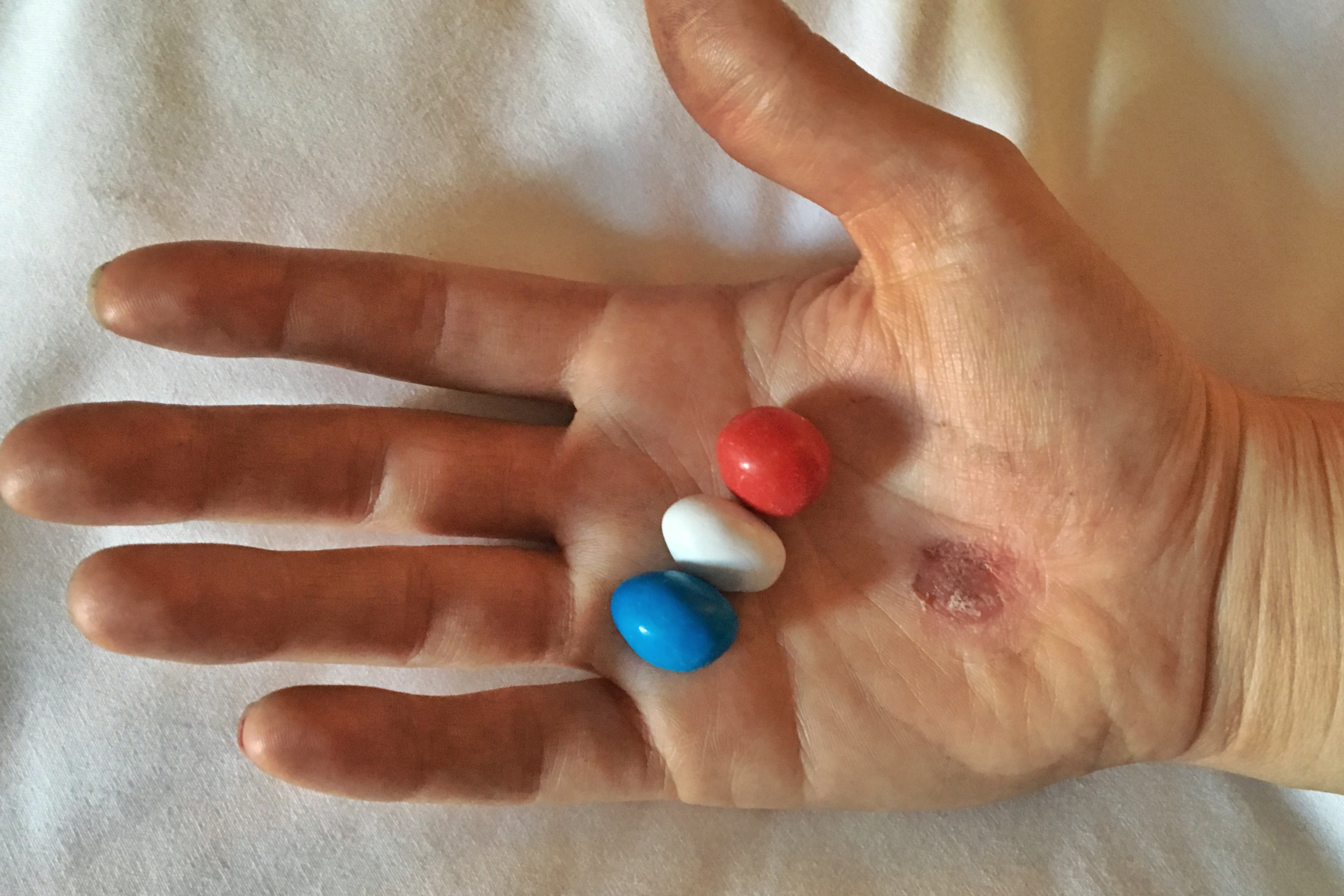
We made it to France! Having arranged a direct flight to Paris, we successfully eliminated any dramatic airline stories from this first blog entry. Instead, let us tell you that we prepared for the trip by purchasing France-themed M&Ms and doing a ceremonial Chartreuse shot before we headed to O’Hare!

France trip pre-gaming

Upon arriving at Charles de Gaulle International, we deplaned, passed through customs, and found our bags happily circling around the conveyor belt awaiting pick up. CDG is not the easiest airport to navigate — and it was definitely a zoo today for some reason — but we eventually managed to exchange some money and find a Relay store with the SIM card we wanted. (Fun fact: Setting up SIM cards is super easy for everybody on the planet except us)

Picking up our rental from Europcar, they told us they did not have anything similar to the Toyota hybrid model we signed up for (boo!) but in exchange, they offered us a Mercedes C Class (nice!), which also came with navigation, buying us the extra time we needed to get the data plan working on the SIM card. (Seriously, how does everybody else understand SIM cards better than us?)

I guess we’ll accept the Mercedes instead of a Toyota

Matt handled the Parisian traffic with ease, despite the fact that motorcycles appear to have no inclination or legal duty to acknowledge Rules of the Road over here. After a comfortable and scenic drive north, we made it to Étretat just before 5PM. Navigating narrow streets, we found La Castel De Terrasse and admired the grandeur of the place.

Castel de la Terrasse, our humble abode tonight

Our host Estelle introduced us to the resident seagulls (yes, that’s right) and explained why our guest room is themed after famous French writer Maurice Leblanc. She also suggested the best way to explore the Cliffs De Étretat and where to find the best seafood.

These boats aren’t going to sail themselves people!

Once a popular retreat for impressionist artists such as Monet and Manet, the Cliffs de Étretat are still a popular tourist destination. Before dinner, we hiked up part of the western cliff(s) called Falaise D’Aval to set down some of the natural splendor.

Looking west from Falaise D’Aval at La Manne Forte


Humans for scale! Falaise D’Amont In distance


La Chambre des Demoiselles and Ètretat beach

We walked back to town for our dinner reservation at La Marie Antoinette. We bravely tried the oysters, but stuck to cooked fish for our main course. We also had our first French bread and French bottle of wine, so I’d say dinner was a success.

Good oysters. Delicious seafood. And check out that dog in a suit!

Afterwards, in preparation for sunset, we walked back to the cliffs and explored Falaise D’Amont to the east. We hiked up past the church, beyond the field of dairy cows, then back down to the beach via a rocky staircase and a small 40ish-yard tunnel through the cliff.

Chapelle Norte-Dame de la Garde


Shadows climb the cliffs


Low tide reveals hidden skulls… just checking if you’re reading the captions.


Falise D’Amont at low tide


Entrance to Le Chaudron tunnel and MarioKart shortcut.


Watch out for the super rare rock jellyfish


Getting a perfect shot of…


…this seagull enjoying the sun setting on Falaise D’Aval


Golden hour sinks below La Mancha (English Channel)

Throughly impressed with the views and satisfied with our hike and dinner, we walked back to the Castel de Terrasse to end the night. Day One was a success (amazing weather!) and we are hoping to keep the trend going.

Getting Ready for France

Welcome back! This year we are heading to France — the land of wine, cheese, bread, and bikes. We leave Chicago on Wednesday, July 4th with a direct flight to Paris, which hopefully cuts down on the airport shenanigans. (We are flying United, although I’m sure Delta is working furiously to bump us off a connecting flight for old times sake, ha!).

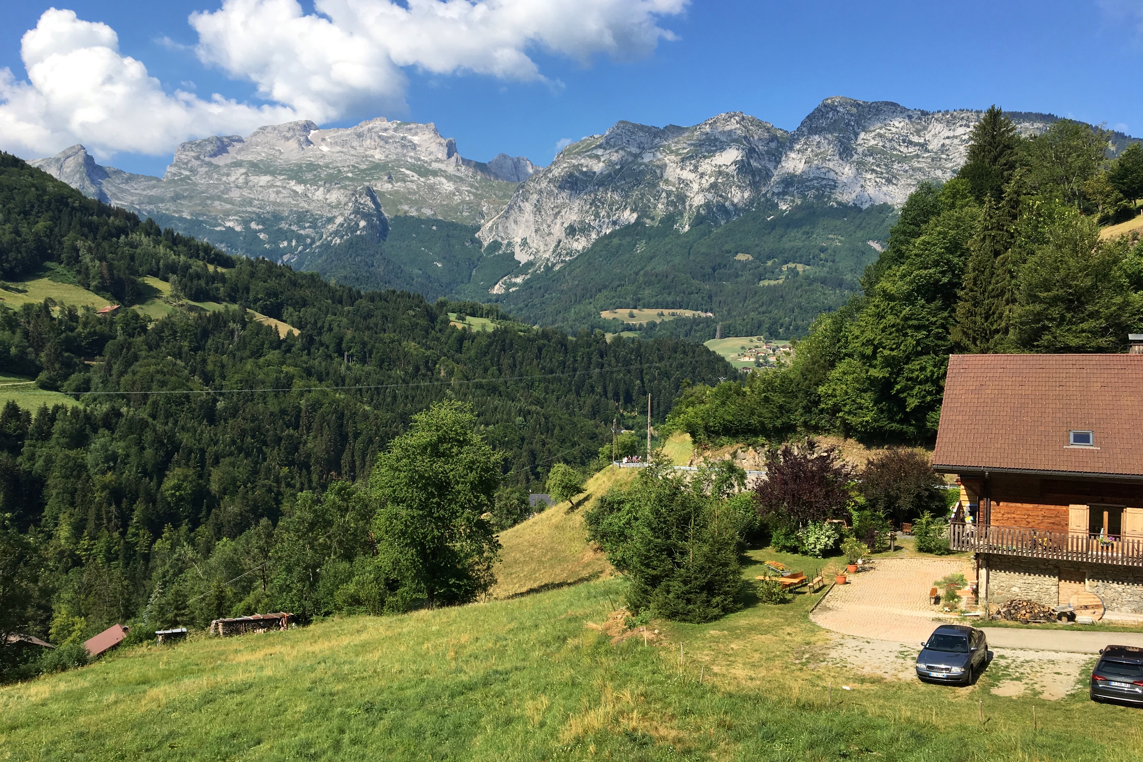
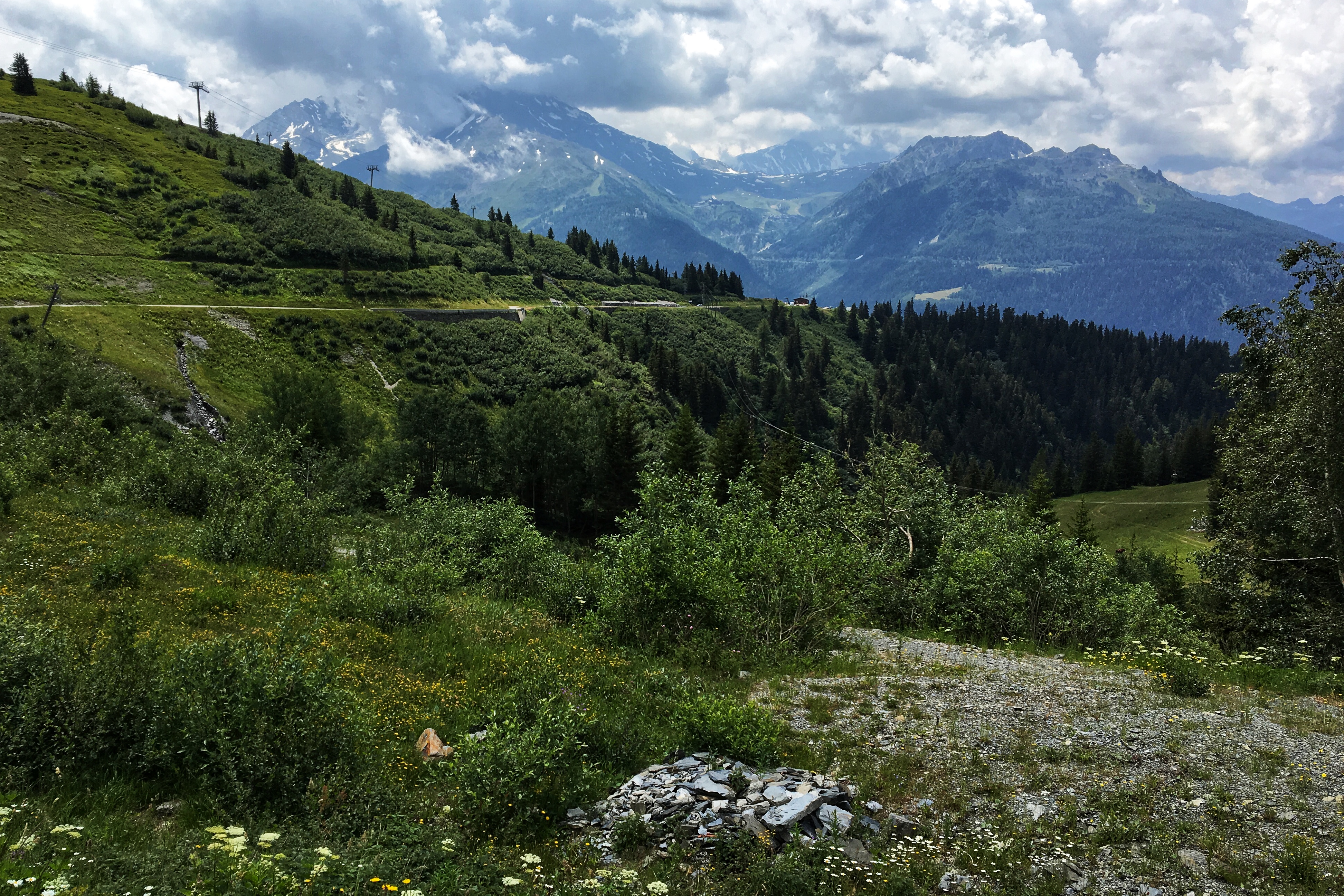
Starting the journey at the Cliffs d’Etretat, we’ll follow the coastline west to Normandy to visit the D-Day beaches. There happens to be a Medieval Festival right where we are staying in Bayeux, so clearly, we will need to check that out. Heading further west will be Mont Saint Michel where we plan to stay overnight and hike the bay when the tide is out.

The 2017 Médiévales De Bayeux posters went full Game of Thrones!

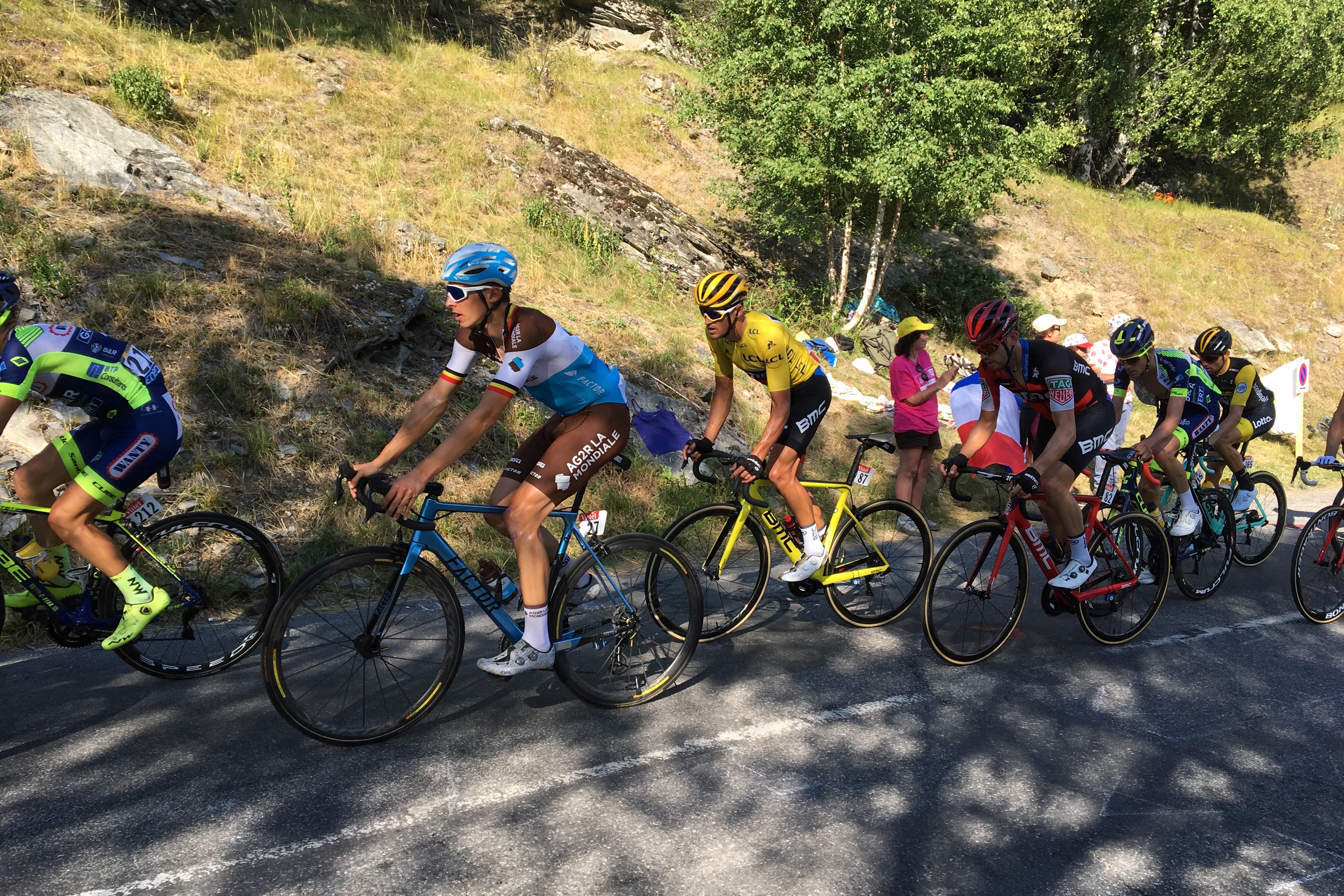
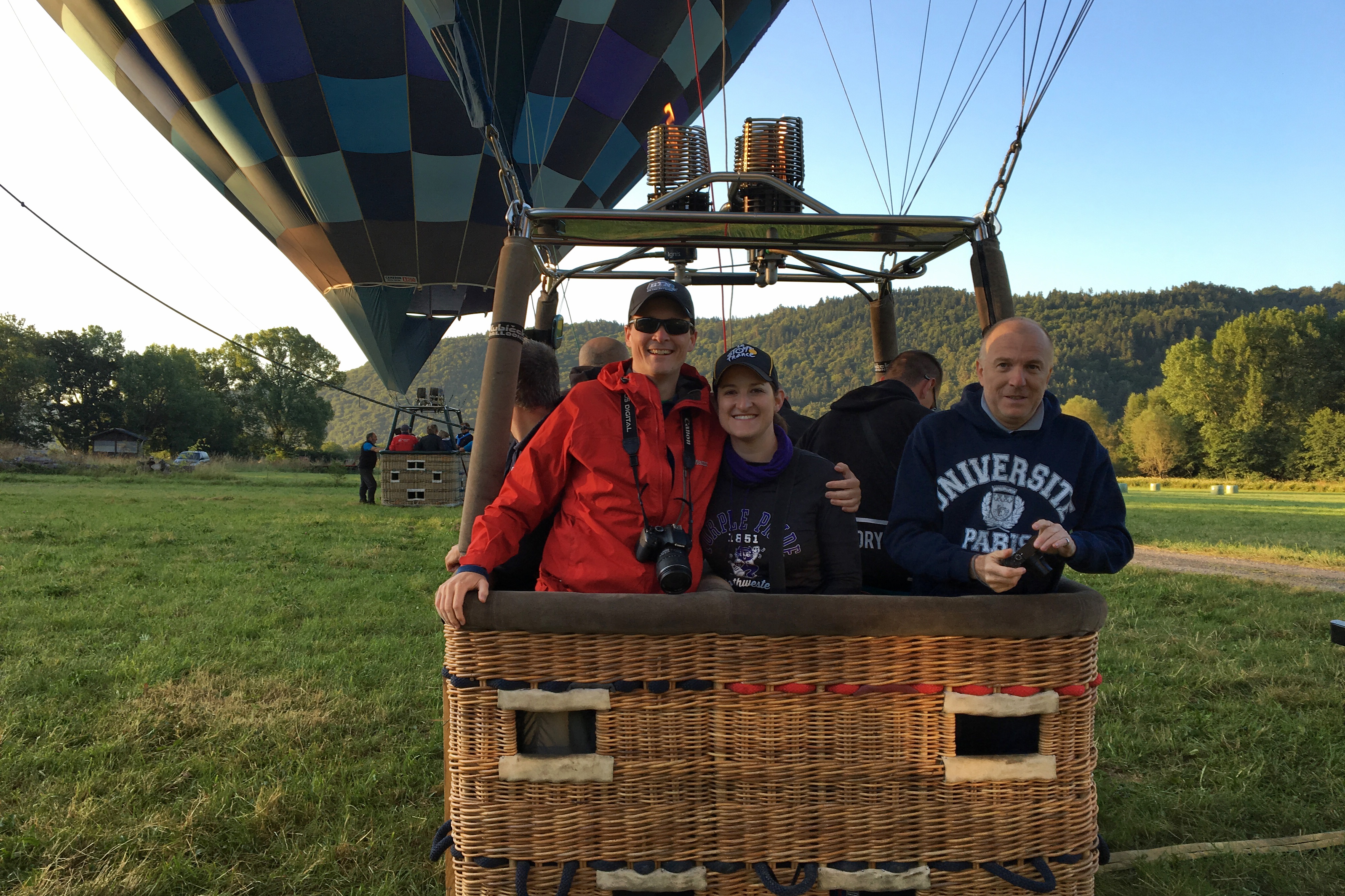
Our friend Nate Caucutt and his family live in Lorient — in the Brittany region of France — where we will visit for a few days and watch the fourth and fifth stages of Le Tour De France ride thru town. Following that, we drive waaaay back east towards the Alps with a quick stop in Auvergne for a hot air balloon ride over extinct volcanoes (weather pending).

Spotted last year in the Amsterdam airport… so obviously Paris was next

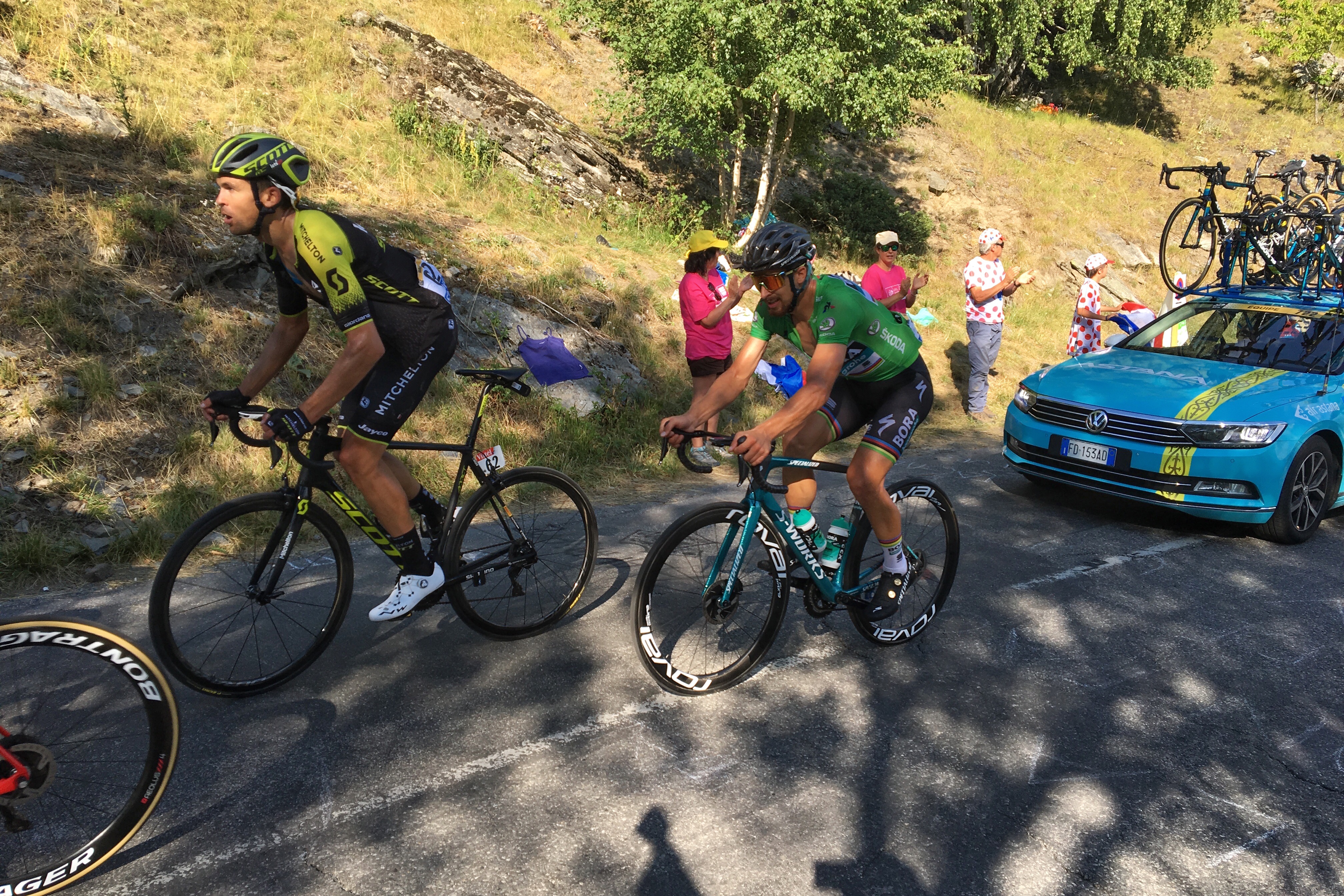
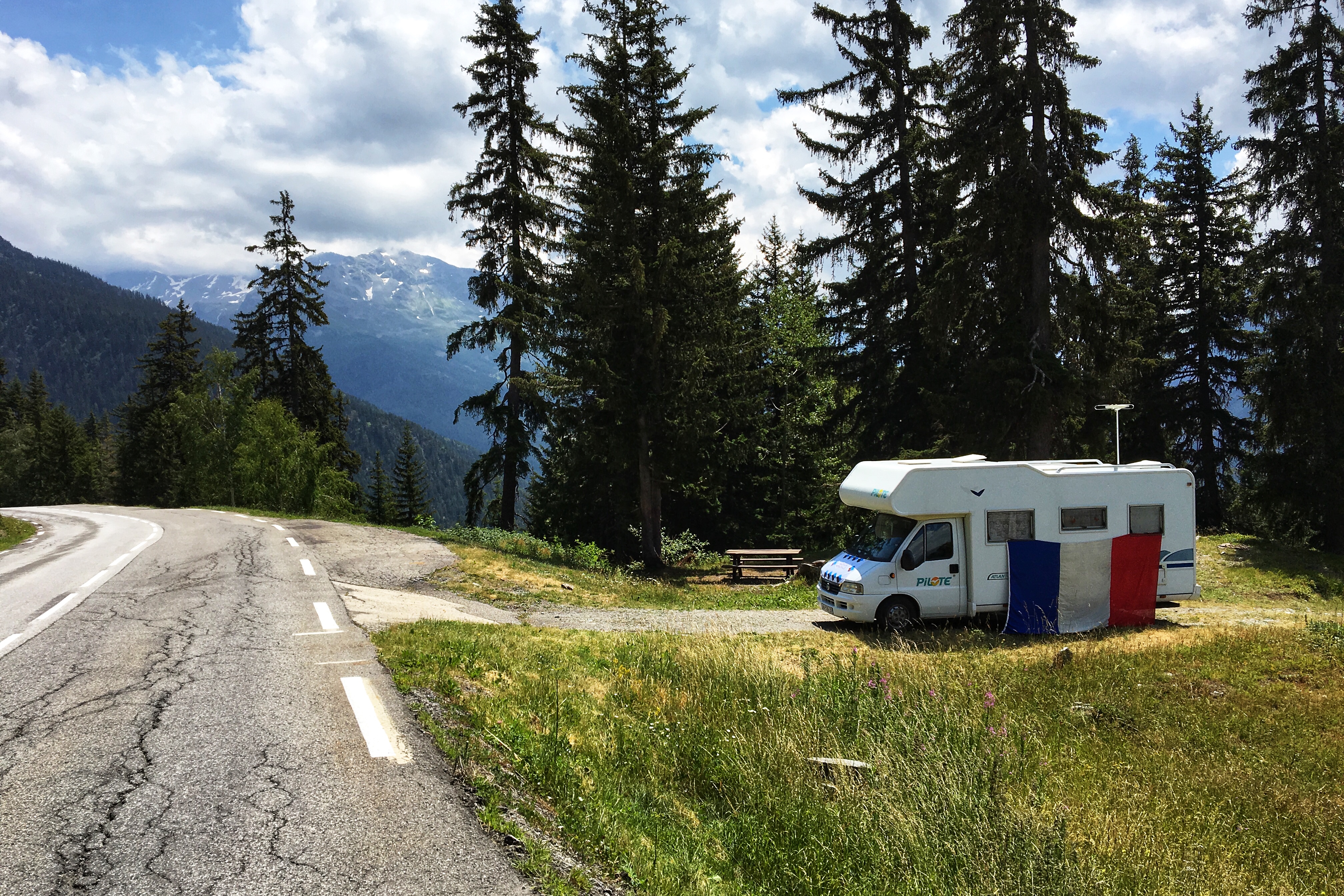
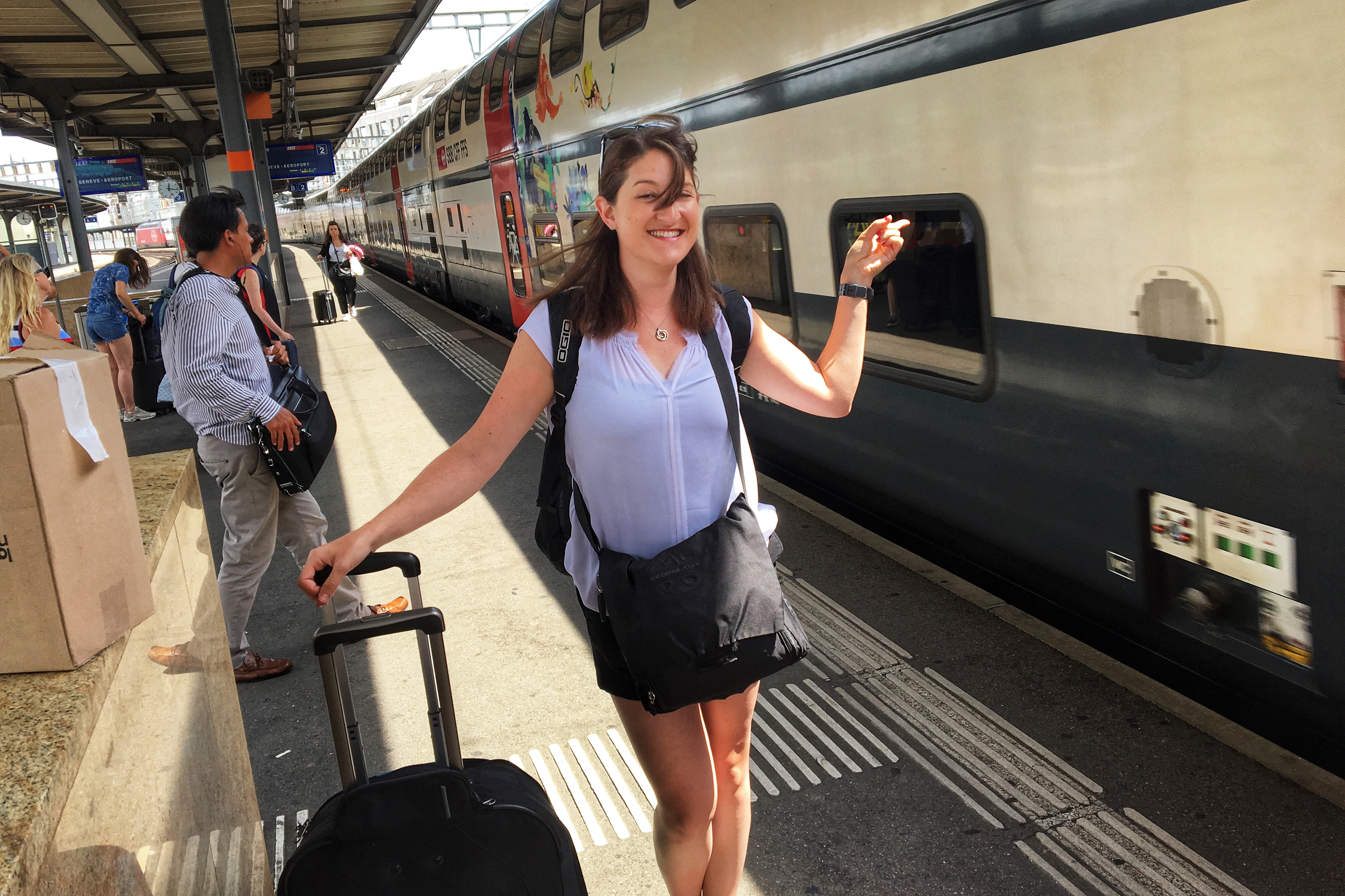
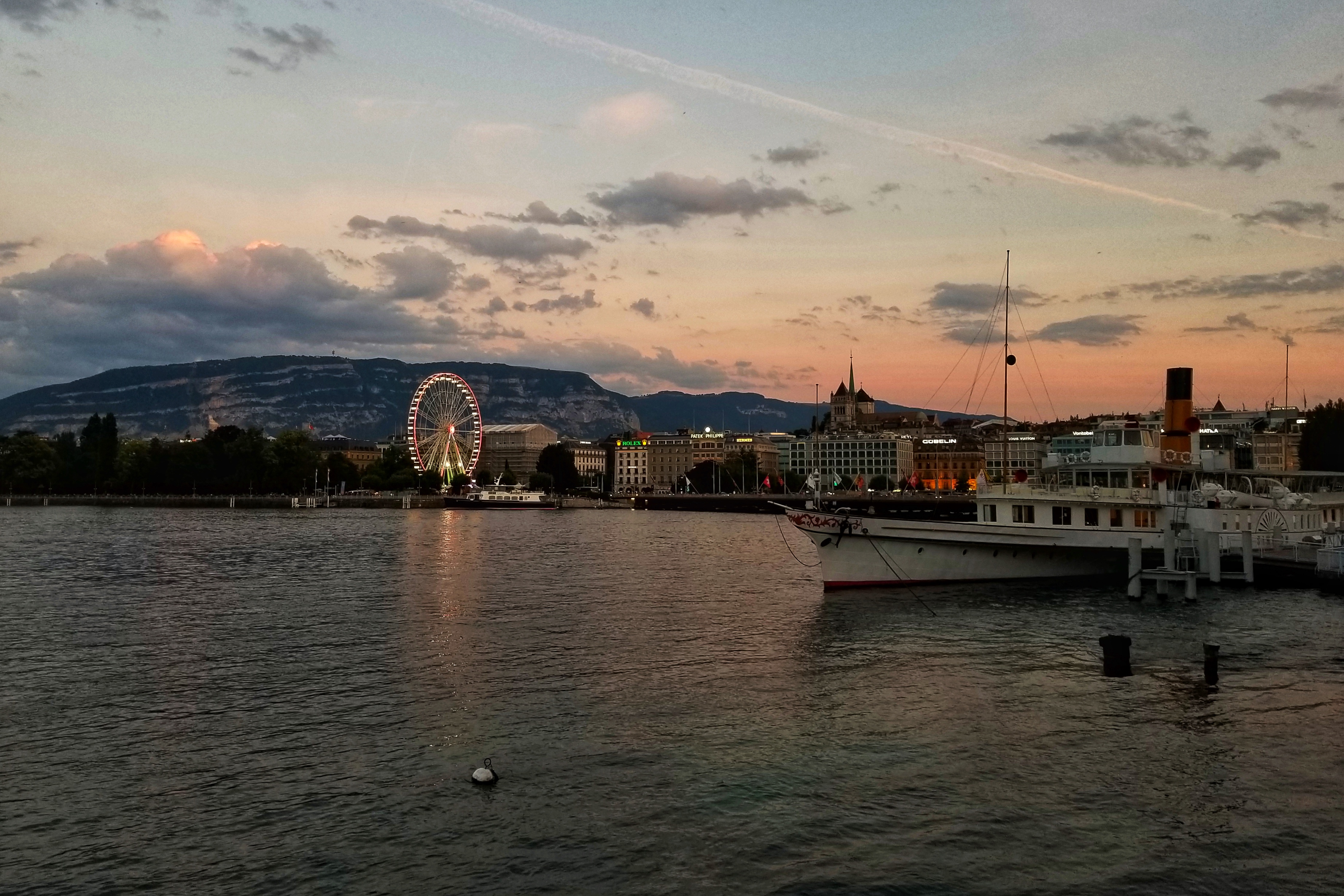
Arriving in Geneva, Switzerland, we will meet our bike tour guides — Alpine Chaingang — and begin the crazy biking adventure. With a summertime ski chalet as our home base, we will bike for six days on various routes in the French Alps. If we manage to stay alive, we will see even more Tour De France action (stages 10, 11 and 12), as the riders will be entering the Alps and biking some of the same roads during the week. Hopefully, Chicago Divvy bikes and Soul Cycle classes have prepared us to pretend like we are competing for the polka-dot jersey.

Check back for updates and pictures! Oh, and if anyone can teach me French, now would be a great time.

Day 16: Airports

We made it! Just a final trio of flights with two airport layovers, and our Norwegian adventure will officially be in the books — or the blog, let’s say.

Norwegian waffles are tasty, confirmed

But, first things first. At breakfast, we discovered the Oslo Airport Park Inn has a Norwegian waffle making stand. Having not seen this do-it-yourself culinary option at any of our previous breakfasts (we had seen them for sale elsewhere, but made in advance), we took this opportunity to give the local favorite a shot. It did not disappoint.

OSL sidewalks are like being in Tron

After breakfast, we checked out and enjoyed five minutes of nice weather as we walked from the hotel to the airport. After a pit stop at the Global Blue counter to get a tax refund (for the shoes), we proceeded to check in.

Tragically, we couldn’t find anything to spend our last 19 kroner on. Even a small pack of gum was 22 kroner, about the equivalent of three dollars. The coins were a better souvenir.

Checking in with our friends KLM and Delta


Jo bids farewell to the locals

Having timed our arrival pretty well, we didn’t wait long for the first flight. Our seat assignments from yesterday were successfully noted on the boarding passes, so we were able to get on the plane! Take that, KLM.

Oh boy, we actually get to board our KLM flight this time!


What is this, a coke for ants?! 🙂


Approaching Amsterdam

The flight was smooth, and we made it to Amsterdam with an hour and a half layover before our next flight. Stopping at the food court, we used our remaining consolation food vouchers from two weeks ago when they bumped us. Two free salads and drinks later, we were ready to take our 11th flight.

You’re still on notice, KLM and Delta

The departures board told us our flight would be boarding in 10 minutes, which is what our information indicated as well. Then, rather abruptly, the board said our gate was closing. OK THEN! So we quickly jogged to the gate.

On the plus side, we didn’t have to wait around for boarding again. And in the end, our sprint seemed slightly unnecessary as they didn’t close the doors until five minutes before take-off anyway.

There’s our Delta plane maybe boarding in 10 minutes, or maybe not!

A mere eight hours later — involving several games of Ticket To Ride on the iPads (Scandinavian Coutries expansion, of course) — we landed in Minneapolis/Saint Paul. Hey Minnesota! We put our Global Entry status to work and cleared customs in a matter of minutes.

Sorry we brought the rain to Minnesota, you guys

Taking advantage of the three-hour layover and our return to American IP addresses, we camped out at the gate and caught up on the two episodes of Game of Thrones. We also re-visited the Google Fi trivia vending machine in the G concourse, where we successfully answered a series of three (very) obscure geography questions in order to win fuzzy socks!

Eventually, our final flight boarded and we were delivered back to O’Hare for a 10pm arrival. Our bags arrived quickly, we hopped in a cab, and were home by 10:45pm.

Blurry Chicago lights come into view

Here are some fun facts we compiled about the trip…

Transportation Totals:

  • Planes: 12 (longest 8 hours, shortest 20 minutes)
  • Trains: 3
  • Automobiles: 17
  • Boats: 12
  • Dog Carts: 1
  • Steps: 205,486

Weather

  • Rain: 12 of 16 days

Umbrella industry does good business during Norwegian summers

In Svalbard, it was common practice to take of your shoes before entering rooms — including public spaces such as hotel lobbies and restaurants. This seems like a really good idea, especially come winter when copious amounts of snow and slush get involved.

Still need a shirt for service??

Camping and hitchhiking are very common in Norway. It is legal to camp anywhere unless otherwise noted, and many people plan on hitchhiking to get around. We saw many people with their thumbs out on the side of the road.

It usually looked like their plan was going off without a hitch.

Hey-O! Thank you for enduring one of our two Norway jokes. We’ll be here all week. Remember to tip your wait staff.

Electronics casualties:

  • 1 cracked phone screen (minor nick)
  • 1 water damaged phone (glad it was an old phone)
  • 1 blown power converted/wifi router

So long, European power outlets!

And finally, there was one Norwegian radio station called Norge, which played good music, but lost all credibility when they cut short both “American Pie” and “Blinded by the Light.”

Aside from those travesties, the bottom line is Norway is awesome. Highly recommended. Everybody should go. We might have to get back there someday ourselves.

Day 15: Leknes/Gardermoen

Great weather in Leknes this morning! Because we were leaving, of course. With the bright morning sun streaming in from windows overlooking the grassy backyard, we took our time waking up, making breakfast, packing up and tidying our AirBnB.

Sunny morning after yesterday’s squall

On the bright side, the fact that yesterday’s typhoon cleared up gave us some level of confidence our travel plans for the day would be a success, starting with a noon flight from Leknes to Bodø.

Dropping off the second rental at LKN

Unlike Chicago or Minneapolis/St. Paul, the Leknes airport has two rooms. One that holds the short baggage claim belt, rental car desk, check in, and security. The other is the one-gate waiting room. We arrived in plenty of time for our 20-minute flight over the Vestfjorden.

March of the passengers, Part 1


Not tired of these Lofoten views


Different rocky coast look near Bodø, also awesome

After a short layover, our next flight took us to Oslo (or more accurately, the city of Gardermoen, which is about a 40 minute drive outside of Oslo). The views out of the window were not “Lofoten Islands” level of greatness, but the clouds and landscape heading inland to the east were still worth a look.

March of the passengers, Part 2


Thanks SAS! We like you better than Delta/KLM

Back in the land of large airports, we collected our bags and stopped by the KLM counter to see if we could check in, or at least get assigned some seats for the first leg of our itinerary tomorrow (because Delta and KLM are dysfunctional partner airlines as noted previously). The agent was able to reserve seats for us, so hopefully no more bumps! She’ll probably get in trouble for not charging us some lame fee to help us out.

Checking in to the Park Inn hotel at the OSL airport

Walking to the hotel, we realized how exhausted we were. The hotel is a bit of a hike outside the city of Oslo, and since it’s a Saturday everything in Norway tends to shut down on the weekend. None of the places we were interested in seeing were open. Opting for a relaxing evening in the hotel instead, we wrapped up our epic trip with a nap and dinner.

Nap time!


Lounge and dinner time!

Norway has been amazing, and we will miss it. Chicago is now calling us home. Tomorrow we finish with a trio of flights back to Chicago — our 10th, 11th, and 12th flights of the trip. For some reason, flying west always seems and feels easier, so here’s hoping that holds true.

One more thing. As we are posting this blog in the Park Inn bar right now, it is pouring rain outside. Ha! We win tonight, Norway weather demons!!!!

Day 14: Lofoten Islands

As yesterday’s weather report predicted, it was a beautiful morning in Leknes today… BUT only for a while. Knowing the weather was going to turn by late morning, we woke up, ate breakfast and hit the road by 8:30am-ish to see the Lofoten Scenic Route.

As we learned last week, when Norway calls something a “Scenic Route” they are not screwing around. It’s the main reason we adjusted plans at the last minute yesterday and rented a car. So off we went in our snazzy brown Opal Astra stasjonsvogn.

Great weather… for now!


Impressive views

On the road signs, the route is simply called Ŧ (pronounced ‘oh’), which is the name of the city at the end of the drive.

Sandy beaches on NW coast of Vestvågøy


Got photos in all directions

Heading southwest, we tunneled to Flakstadøya Island and took a quick detour to see a historic fishing village called Nusfjord. Parts of the village have been replicated to serve as hotels (the part we saw), and parts have been preserved from its original state (which you could see for a fee).

Road across Flakstadøya


Outskirts of Nusfjord

The drive continued south, hitting another island named Moskenesøya, getting us more amazing scenery, and eventually to Ŧ. Another small fishing village on the edge of the island (what else are you supposed to do when you are so close to water?), Ŧ has a hotel, restaurant, bakery, cafe, museum, and of course, a gift shop.

Open-air tunnels toward Ŧ


One of the historic buildings now part of the museum


The Kraken has a long history in Nordic seafaring folklore

When reading about the Lofoten Islands, we learned they are famous for stockfsh, which is dried cod (mostly), preserved using the old method of cleaning the fish and hanging it on wood racks to dry. Making stockfish is such an integral part of the culture and history that the museum in Ŧ is actually the Norwegian Stockfish Museum. We were game to try some, so we bought a small package. Additionally, while walking around looking for the gift shop, we accidentally found the bakery and failed to resist devouring a freshly baked cinnamon roll (Norway forgoes the globs of icing, and it is still amazing).

Delicious Kanelsnurr on the right

By this point, the glorious sunny weather was long gone so we headed back north toward Leknes. For what it’s worth, the Lofoten Island scenery still manages to impress even when it is rainy and cloudy.

Rainy in Reine


Coastal showers

Next up, we drove directly to the Lofotr Viking Museum and festival in Borg. Norway has a serious history with Vikings, including a trove of artifacts found on the site of the museum. Many parts of the property feature cultural remains, while others have been reconstructed. The museum is open all year, but for one weekend a year, they host a Viking festival. Lucky for us, it fell on the weekend we were there!

Things to do at a Viking Festival

Rain or shine (but really, just rain for the rest of today) we were determined to have fun. First up, we walked 1.5km from the Chieftain’s House (the largest Long House in the world!) to the festival area. The main goal was to sail on the replica Viking ship (the actual ship is in the Viking Museum in Oslo). We arrived in time to see the boat sailing away, giving us 45 minutes until the next departure.

Wandering into the boat house, a musician taking cover from the rain offered a demonstration about Viking age music and instruments. Another vendor outside was selling Stockfish and offered us a sample (so, you know, we can find out what exactly we bought earlier, ha!). It tastes like salty cod, but has the texture of bark. Must be what fuels everyone to be as active and fit as they are. Finally, it was boat time.

The Viking boat crew keep us from capsizing after hoisting the sail


The Vikings loved orange life vests

Turns out that windy, rainy weather makes a sail boat go pretty fast. Whipping around the lake and banking a couple steep turns, we made it safely back to the dock.

Back on land, we continued to walk around the festival and check out the artisan tents. Vendors selling their wares was expected, but it was also cool to just see the Vikings hanging around their camps, telling stories, cooking, and sharing their food. Some explained their cooking process, some sold their food (hazelnut cakes for a dollar), and others just gave out samples to passerbys (including spit-roasted pig and a much-appreciated warm cup of soup).

Hasselnøtt kjeks!

Finding a warm wool hood/poncho from one of the sellers, I felt cozy and Viking-like, and was ready to play with some weapons.

First up was archery. We both hit our targets. Next up was ax throwing. The girl in front of us managed to cut herself while throwing the ax, so we discovered they are very real. But don’t worry, she was fine, and we were wearing gloves. Matt nailed it twice. I couldn’t quite get the ax to stick in the target.

Adopting Viking fashion


Excellent archery form

Venturing into the smithy, the blacksmiths were not presenting a demonstration, but rather the three of them were just hanging out and helping each other practice techniques and share tips. Soon, festival staff came in to have them smooth and sharpen a couple of the axes we had just been throwing a second ago, which must have been why I wasn’t successful earlier. Obviously.

When the axes need repair, call your smithy

After one last lap around the market, we hiked the 1.5km back up the hill in the the pouring rain and crazy wind to the indoor refuge of the Viking museum. The exhibits feature artifacts excavated from the area, a twenty minute movie (filmed on the property), and clips of archeologists and historians talking about Viking history specific to Borg. Using iPods (old school!) to follow the audio tour, we learned a good deal about the Norwegian Vikings.

As we finished, the museum was closing, but we stuck around for the Viking feast we signed up for in the hope they’d have enough people. They did! Escorted to the Longhouse, we had time to look around before the dinner commenced. The Viking “king and queen” hosted us and performed a show throughout. When the delicious lamb and vegetable plate was served, we ate like Vikings (no forks).

Prepared to feast! And drink plenty of mead!

As dinner concluded, we finished our mead, danced around the fire, and took a look around the rest of the longhouse. Very grateful for having rented a car, we headed home in the very heavy wind and driving rain.

Our dinner hosts the king and queen… and their twins

Our trip is nearing its end. If the wind or rain doesn’t foil our flight times, we go to Oslo tomorrow for the evening before flying back on Sunday.

Day 13: Longyearbyen/Leknes

Other than the fact there was daylight all night, our last morning in Svalbard (or Spitsbergen if you’re Dutch and Grumant if you’re Russian) started out in a similar fashion to the rest of our Norway mornings. A little bit of rain, a little bit of breakfast, and double-checking our plans for the day.

Took this shot by the window at at 2:07am


Carefully reviewing the confirmation sheet for today’s activity

Our flight from Svalbard back to Norway was in the mid-afternoon, so we booked one last adventure for the morning — a fossil hunt! We met our guide at 9:30am and soon discovered the hike/hunt was going to take place just up the valley where our hotel was situated.

Fossil hike guide gives us some directional pointers


Rocky road up the moraine

We hiked up the moraine towards Longyearbyen glacier (but not actually to it). Way back in the days of Pangea, Svalbard was below the equator and therefore tropical. As it drifted North, the vegetation couldn’t survive the cold and dark winters, and eventually died. Many fossils of those plants can be found in the surrounding rocks as the rest were decomposed and compressed into the abundance of coal that is still being mined.

No! This bridge is for Max!


Not much grows here, but enough for reindeer snacks

There was a bit of a learning curve to spotting the rocks with fossils in them. It felt like staring at a pile of puzzle pieces to find the one that’s going to fit. Our guide handed out rock hammers and we doubled our efforts. Eventually, we found some rocks with fossils worth taking back with us.

Checking closely for fossils


When you are told that rock “is not the fossil”


Couple fossil keepers


The terminus of the Longyearbyen Glacier further up the valley


Crazy rocks splitting open like books up here!


Last pass of Coal Miner’s Cabins as we headed back down the valley

A successful fossil hunt completed, our guide drove us to the airport. The Longyearbyen airport pretty much only has one flight at a time, so we checked in our bags with everyone else on the flight, walked through security, and had a seat in the waiting room by the gate. Small airports are fun! Plus, SAS airlines has an efficient way to board a flight… from both the front and aft!

Regular boarding in the front, party boarding in the back

After landing in Tromsø, we passed through customs and re-checked our bags. Svalbard is controlled by Norway, but doesn’t really officially belong to anyone, so another stamp goes in the passport as we officially returned to Norway. We got through security with no issues and found our favorite spot in the Tromso airport to wait for our next flight to Leknes (which is a table by the Pizza Hut). The next flight to Leknes feature the smallest plane on the trip so far. It featured roughly the same seating capacity as a Chicago city bus, with free-for-all seating a la Southwest.

Boarding our puddle jumper to Leknes


Lofoten Islands aerial, Part 1


Lofoten Islands aerial, Part 2

Rather than being confined to the limits of the Leknes bus service for the next two days, we decided to audible and get another rental car — primarily to explore the Lofoten scenic route tomorrow. Finding our AirBnB with the rental car was a snap, and we even grabbed some groceries on the way for dinner and breakfast.

Hatchback station wagons are all the rage here


Found our AirBnB!

Tomorrow, we will explore the Lofoten islands in the morning, and then chill with some Vikings in the afternoon.

Day 12: Barentsburg/Pyramiden

Good news! The midnight sun did not keep us from falling asleep. After our alarms rang at 7am, we had a quick Coal Miner’s breakfast and were soon thereafter picked up for a day of exploring Svalbard on an Arctic Explorer cruise.

This shot was taken around 1am

We opted for the full-day Explorer tour which took us all over the Isfjorden region, punctuated by amazing scenery, a glacier, various wildlife sightings, and a double-header of Russian mining towns in various degrees of operation — Barentsburg to the south, and Pyramiden to the north.

Our path today follows the red lines

The catamaran left Longyearbyen at 9am, heading south to Barentsburg. Seeing as it is the Arctic, and the boat was going upwards of 20 knots, it got pretty chilly in the wind. Good thing they offered us those snazzy warm jump suits! It was also cloudy and overcast, but not rainy, so we’ll take it!

Could you explain “leeward side of the boat” again?

Once we arrived in Barentsburg, we disembarked and explored the town, starting with a guided tour. While legally controlled by Norway, Barentsburg is basically Russia. I mean, there is a bust of Lenin in the town square.

Arriving in Barentsburg, an active coal-mining settlement


Our Goal is Communism!

As a currently active mining town of 400 people owned by Russia, it is not surprising the place has a lot of old Russian influences. There is a school (which, by the way, looks WAY bigger than necessary for the 70 kids who live there), a brewery (no longer the northernmost, thanks to Longyearbyen), and a hospital. The hospital only has four doctors — whom our guide says don’t even know how to use all the fancy equipment — but that’s OK because no one is allowed to give birth or die anywhere on Svalbard.

The Barentsburg school has some gorgeous murals


Yep, this is basically Russia

After Barentsburg, we boarded the boat and headed back to Longyearbyen, sailing along the coast to check out the mining “ghost” town of Grumant and the nearby Green Mountains.

We used the rest of the time time to eat some lunch, drink some hot beverages, and start on the blog. Some people were left back in Barentsburg (on purpose, presumably, because they were trekking back), and nearly everybody else from the small group of passengers ended their trip back in Longyearbyen.

Old mining town Grumant near the Green Mountains

But, a handful of people stayed on the boat with us for the day’s second tour — a trip north to see the Nordenskiöld Glacier up close and the now-defunct (and mostly abandoned) Russian mining town Pyramiden.

Plenty of new people showed up as well (about 70) because a mathematics conference of some sort is in town (really?) and apparently, they all had this afternoon free to go on an excursion.

Nordenskiöld Glacier close up


Vast landscape dwarfs small object, Part 1


Vast landscape dwarfs small object, Part 2

Unlike Barentsburg, which is still functioning, Pyramiden was closed and abandoned in 1996. Last-owned by Russia (yep, they also have a Lenin bust and all the Communist fixins’), the city features buildings that are still standing and open for tours, but otherwise forgotten by time and left to the elements.

Pyramiden wanted to have the nicest sign


Found a rusted wheel bearing amid the abandoned debris

Pyramiden is probably one of the strangest places you can visit, considering it was a self-sufficient, company-run town (in the ARCTIC!) that was trying to “prove” the value of Socialst government. Coal miners would willingly work here for a hearty salary on a two-year contract, bringing their wives and families to live and work in the town. Housing, food, sports, and everything else was included (although sometime doled out based on class and/or mining effort).

Since its closing, the same coal mining company that owned the town has kept it open for tours. There is even a hotel that somehow attracts enough visitors to stay open. A grand total of ten people live here during the summer season, and only two residents stay all year to maintain the hotel — a very “The Shinning-esque” job.

The old commissary building was one of the buildings we were allowed to explore


Investigating the lower level


Eerie abandoned kitchen

The last fun fact about Pyramiden is that it is — by a matter of degrees — the farthest north we’ll be on this trip. The exact latitude is 78-something (40, maybe?), but it looks like they just rounded that up to 79 degrees for the official landmark in the town square.

79° N in Pyramiden


Firearm escort thru town and back to our boat, Aurora the Explora’

As we finished up the tour in Pyramiden and sailed away, the sun started to come out, allowing us to see the tops of the mountains that were partially hidden earlier.
New light for the landscape

The wildlife seemed the appreciate the sunshine as well, as we spotted a variety of critters on the way back to Longyearbyen. First, some polar bears on a rocky outcrop, then a breaching whale amid some birds feedeing. Just as we were about to pull into the dock in Longyearbyen, we saw pods of beluga whales as well!

Time to spy some wildlife!


Polar bears, can you spot them?


Whale, via the super zoom on the guy’s camera next to me


Beluga whales, in multiple pods near the end


Return to Longyearbyen

By the time the trip ended at 8:45pm (but daylight that felt more like 5pm), we were driven via bus back to our lodging at the Coal Miner’s Cabins — which now feels much more appropriate! We headed straight to the lounge and ordered up the delicious looking ribs and chicken.

Mmmmmmmmmmm

Afterwards, we kicked back with another round of Spitsbergen brews (trying the IPA tonight), relaxed in the comfy chairs, and enjoyed the excellent musical taste they have at this establishment. Tomorrow, we’ll spend a little more time in Svalbard in the morning, but in the afternoon, we’ll be exiting the land of the midnight sun.