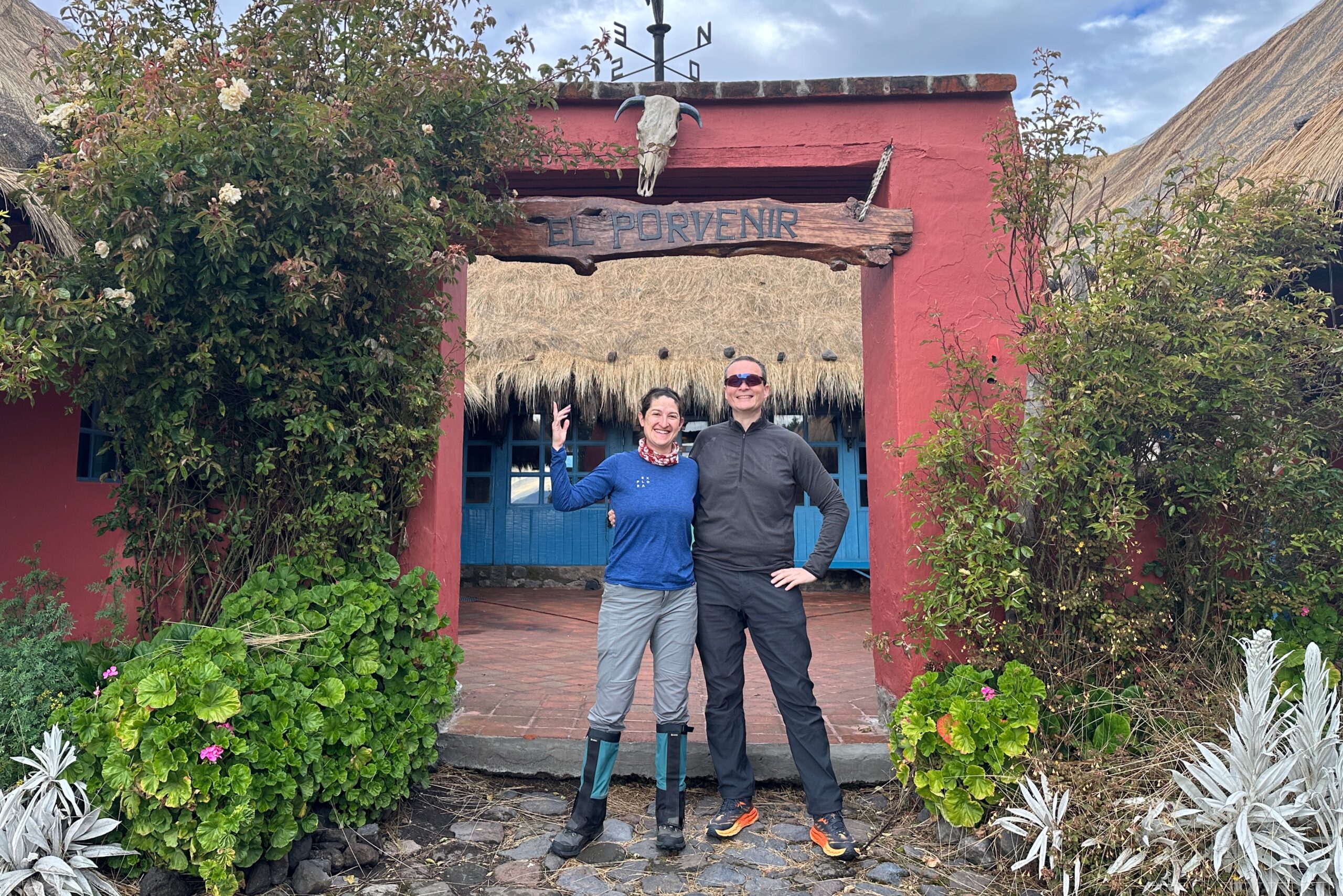
Day 5: El Porvenir to Tambopaxi
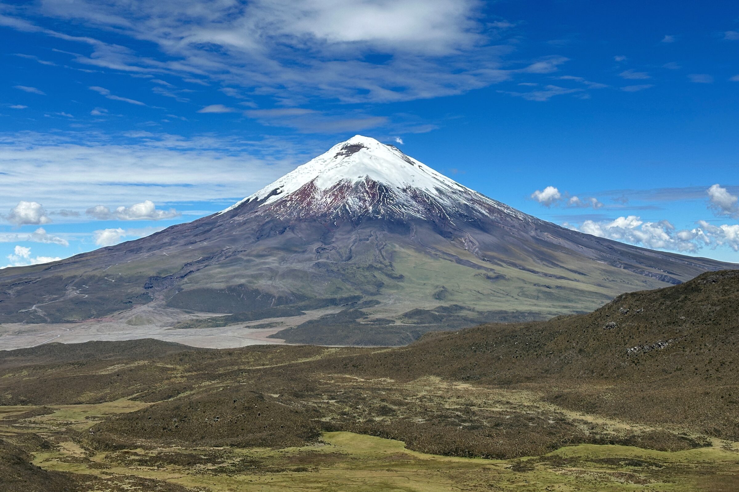
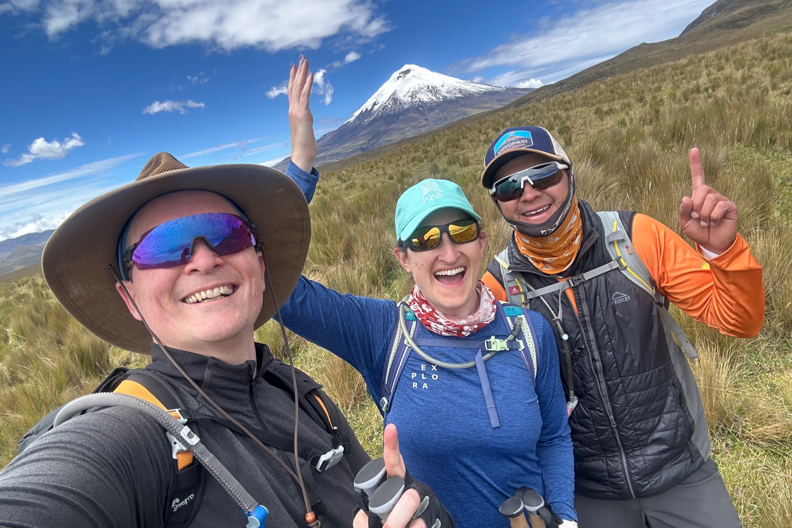
We woke up this morning and didn’t hear any rain! Santiago met us at breakfast and told us to come outside. There were some clouds, but lo and behold, we finally caught a glimpse of Cotopaxi. It does exist! We returned to breakfast to fuel up for the day – including fruit and granola with homemade yogurt (perks of farm life).
It’s not raining today!
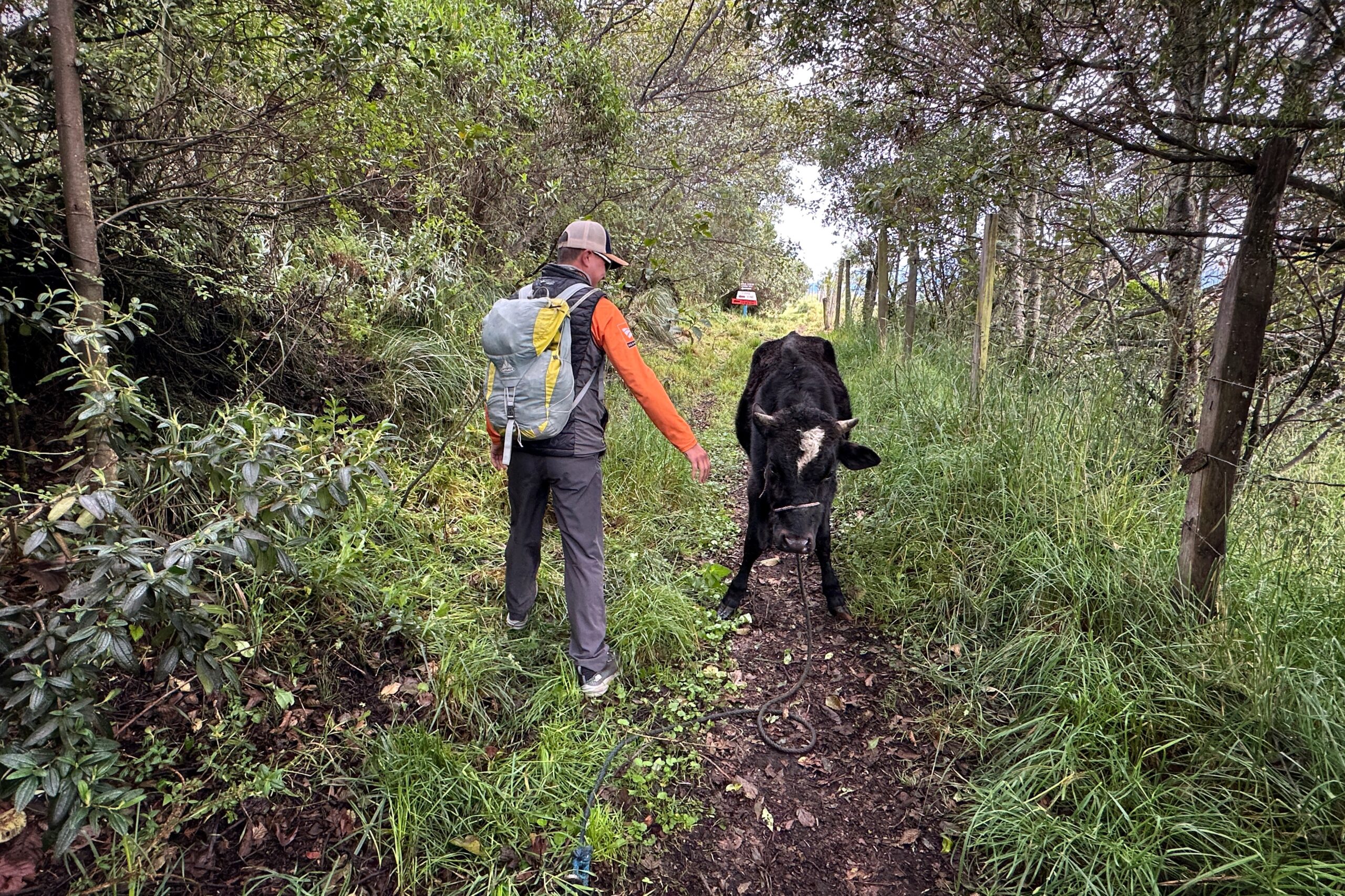
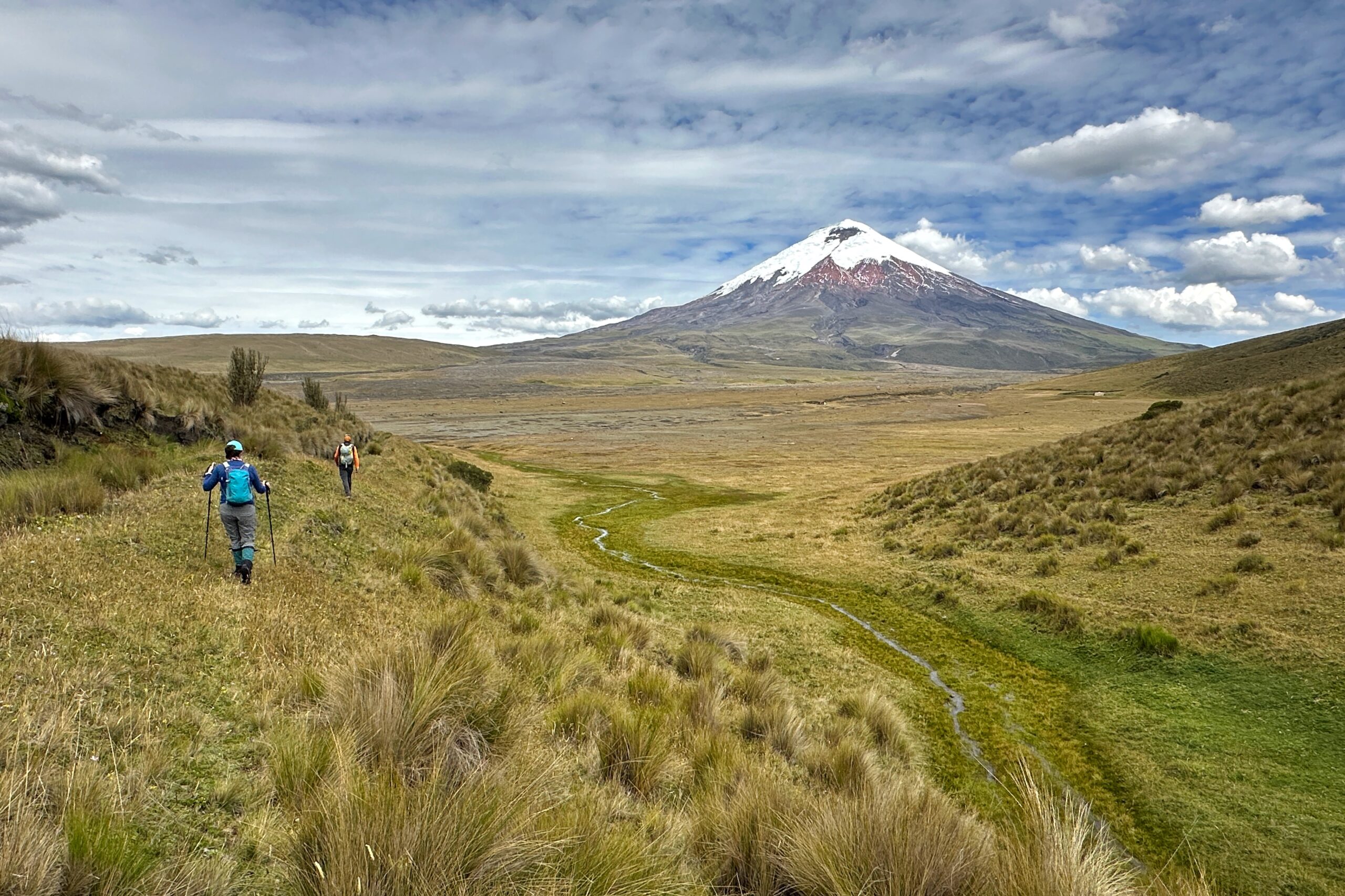
Today’s hike went straight from Hacienda El Porvenir to Tambopaxi lodge. No van needed for us, but our driver did transport our bags. We entered a hiking trail right outside the building and were on our way. Almost the entire hike is on the property owned by Hacienda El Porvenir, so there was no one else on the trail all day — except for a cow and potato farmers in a field nearby. The weather was still clear and we were taking all the pictures of Cotopaxi as we could. Never know when the clouds will roll in.
Santiago assured us he just wants to play
Hacienda El Porvenir and Sincholahua in the distance
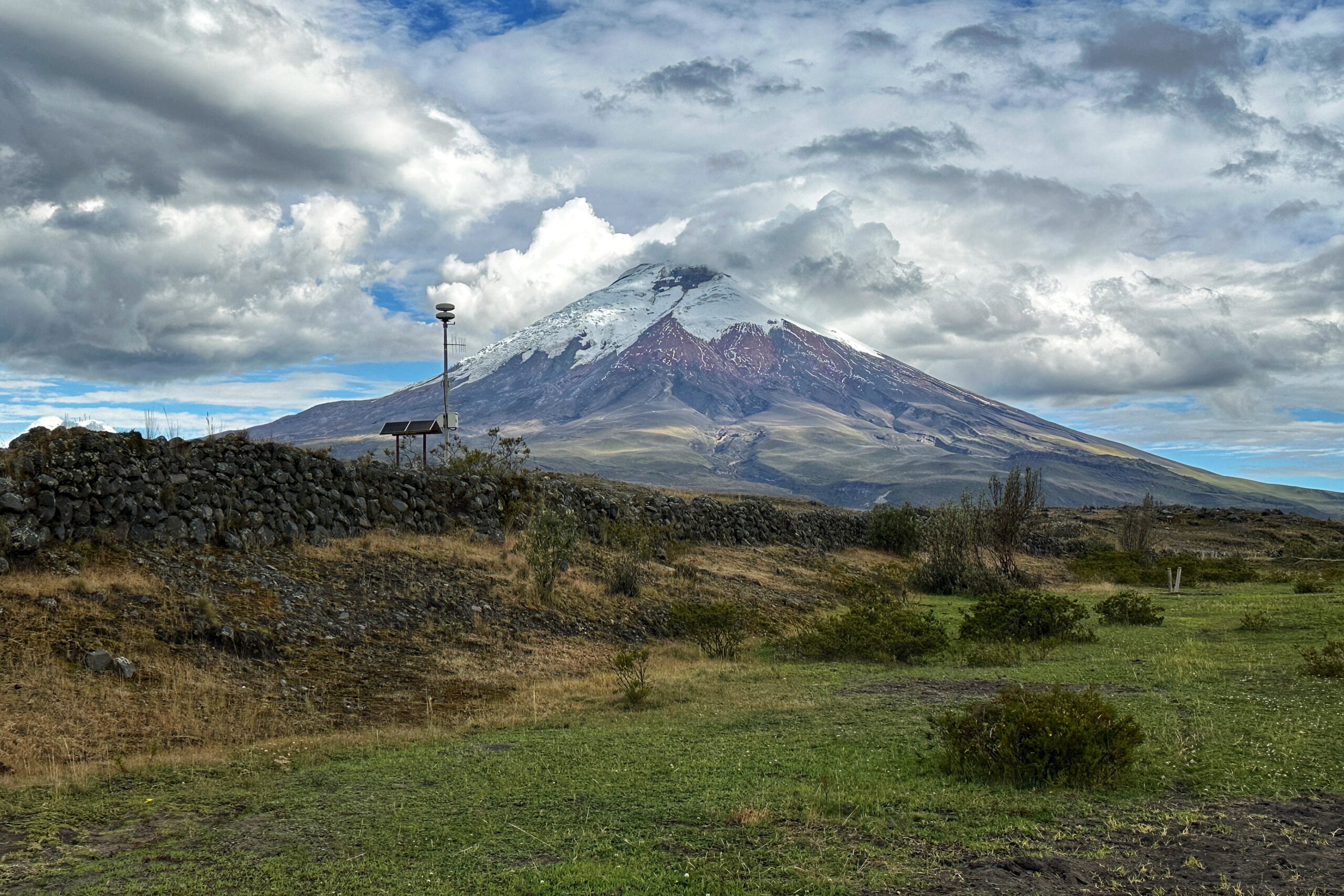
Clear view of Cotopaxi
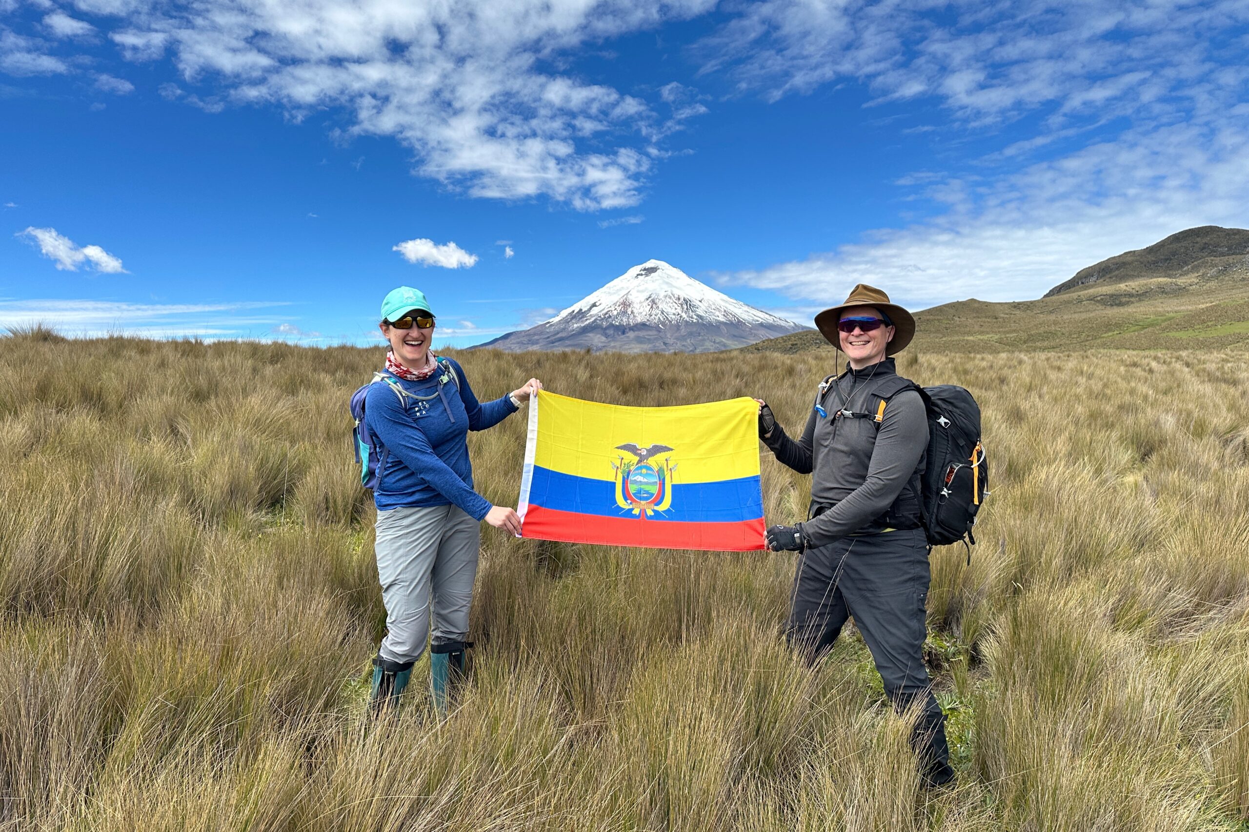
Ecuador flag series #2
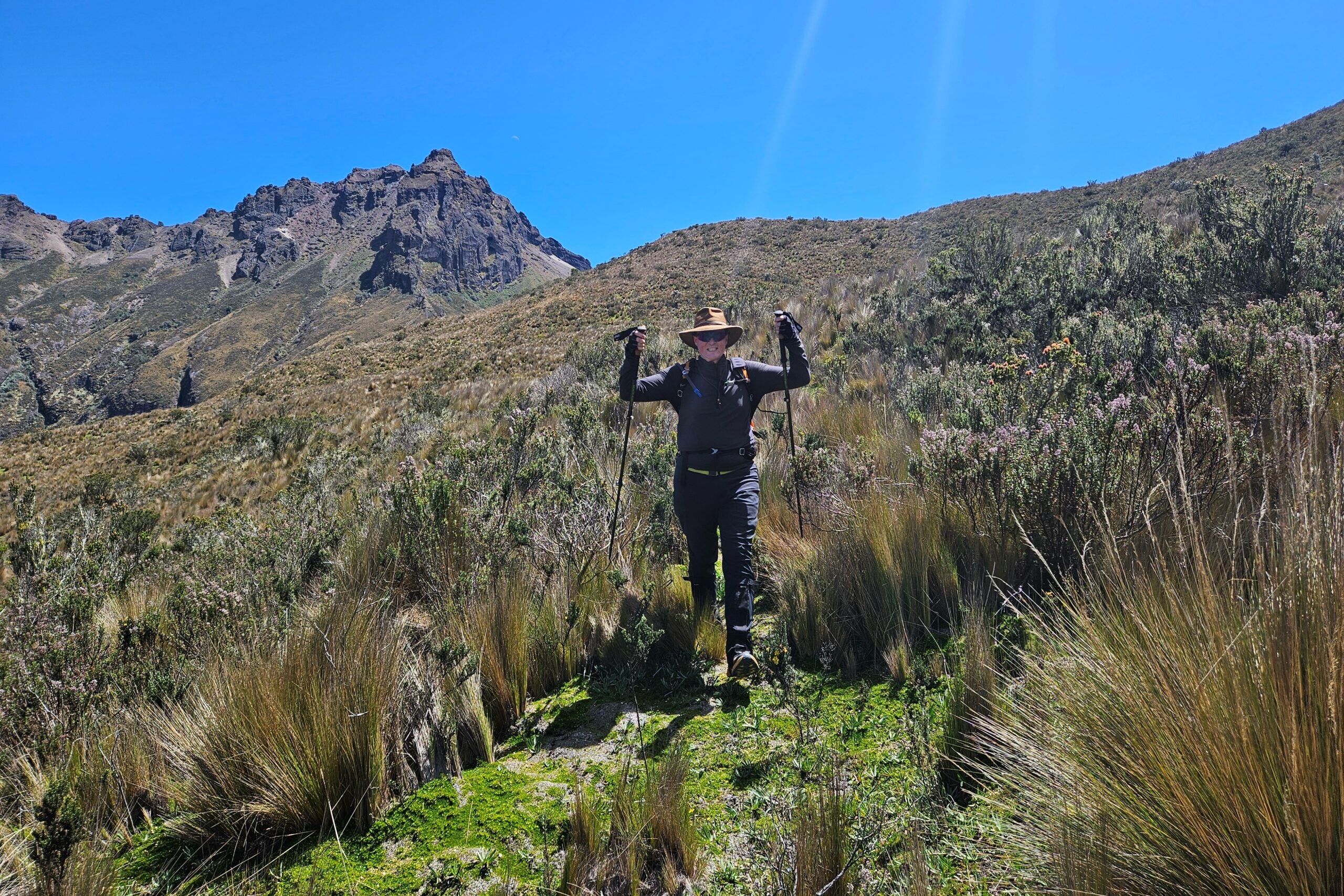
Santiago leads the way to our pass near Rumiñahui
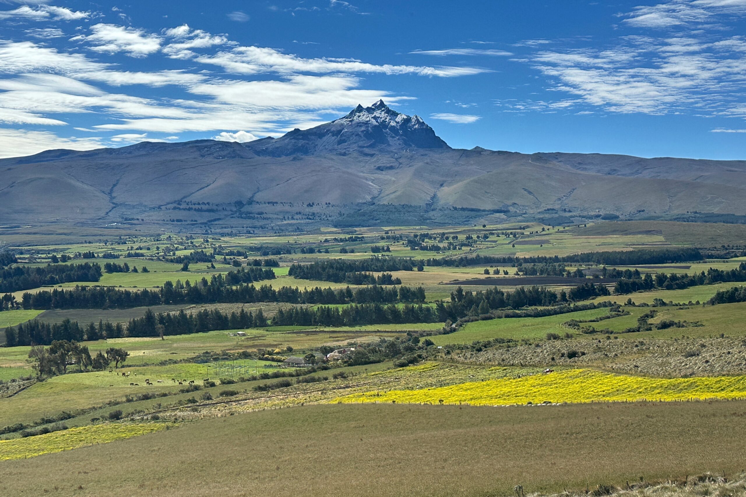
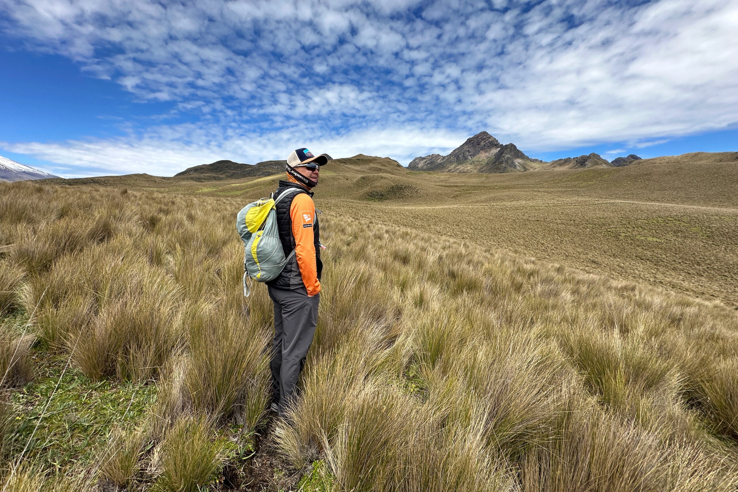
The hike was a gradual uphill climb followed by a couple miles of steep uphill climbing to traverse the pass near Rumiñahui. With today’s clear weather, we could really see for ourselves why this area is called the Avenue of Volcanoes. There are multiple volcanoes on each side of the valley. At the top, we had a great view of Cotopaxi. Plus, we could see the peaks of the tallest volcanoes in Ecuador, including Chimborazo in the distance.

Cotopaxi glamour shot
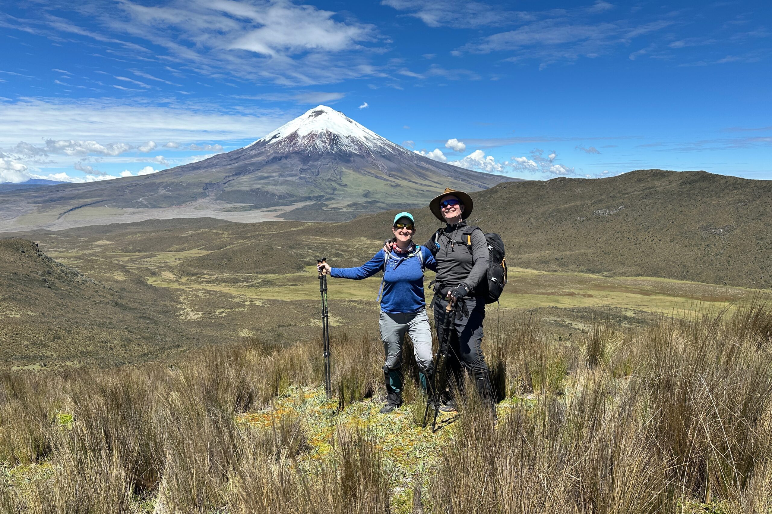
View of Cotopaxi from 13,800ft elevation
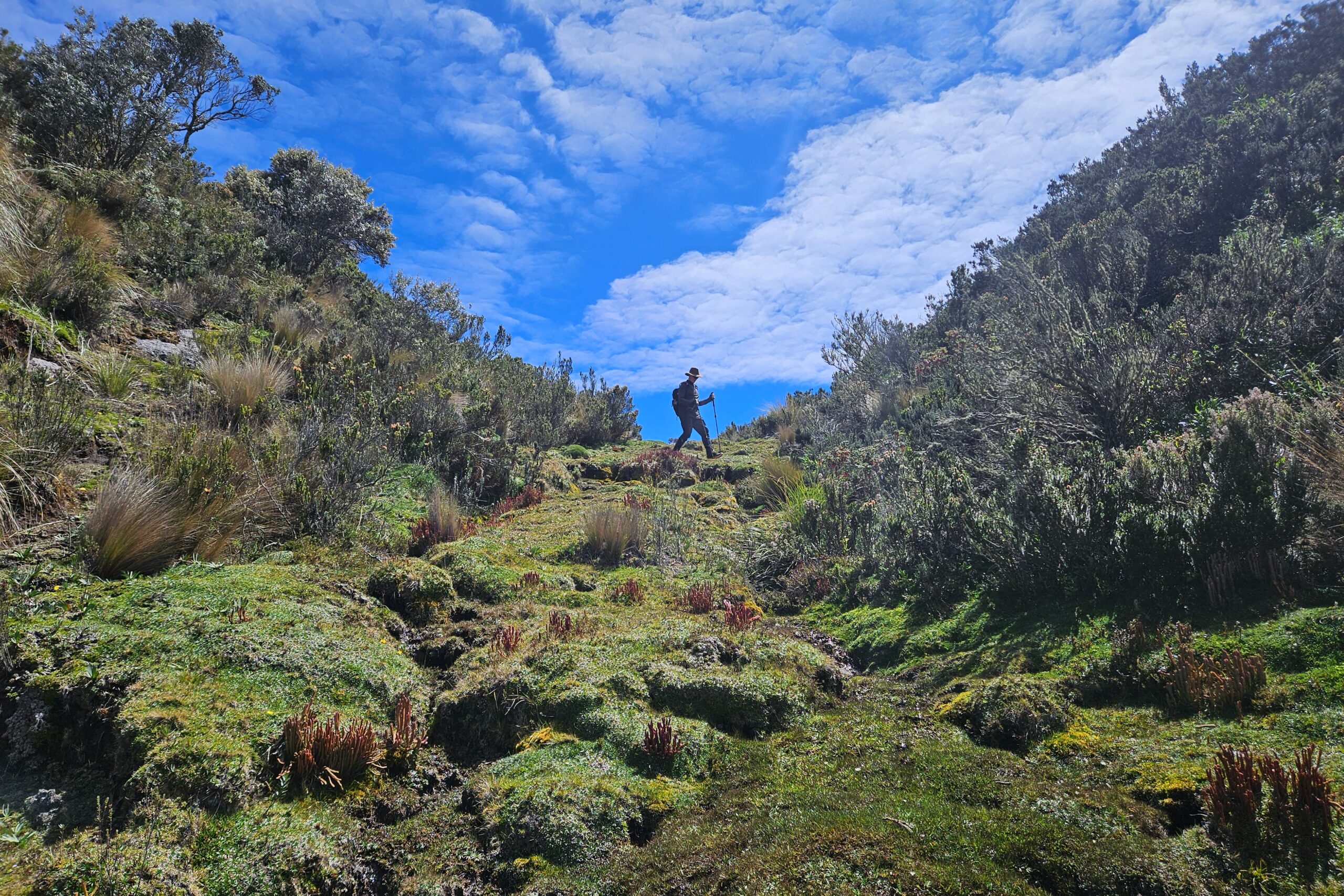
The hike was all downhill from there. We walked down a bit to get out of the wind and find flat ground. Santiago knew of a cave nearby where a great horned owl lives. That would be our lunch spot. As we approached, we made sure to be really quiet so we don’t scare off the owl. We looked around for a minute but didn’t spot him. Then Jo caught a glimpse of it flying and tracked it until it landed on its perch in the cave. It stayed there while we ate lunch.
Heading down from the pass
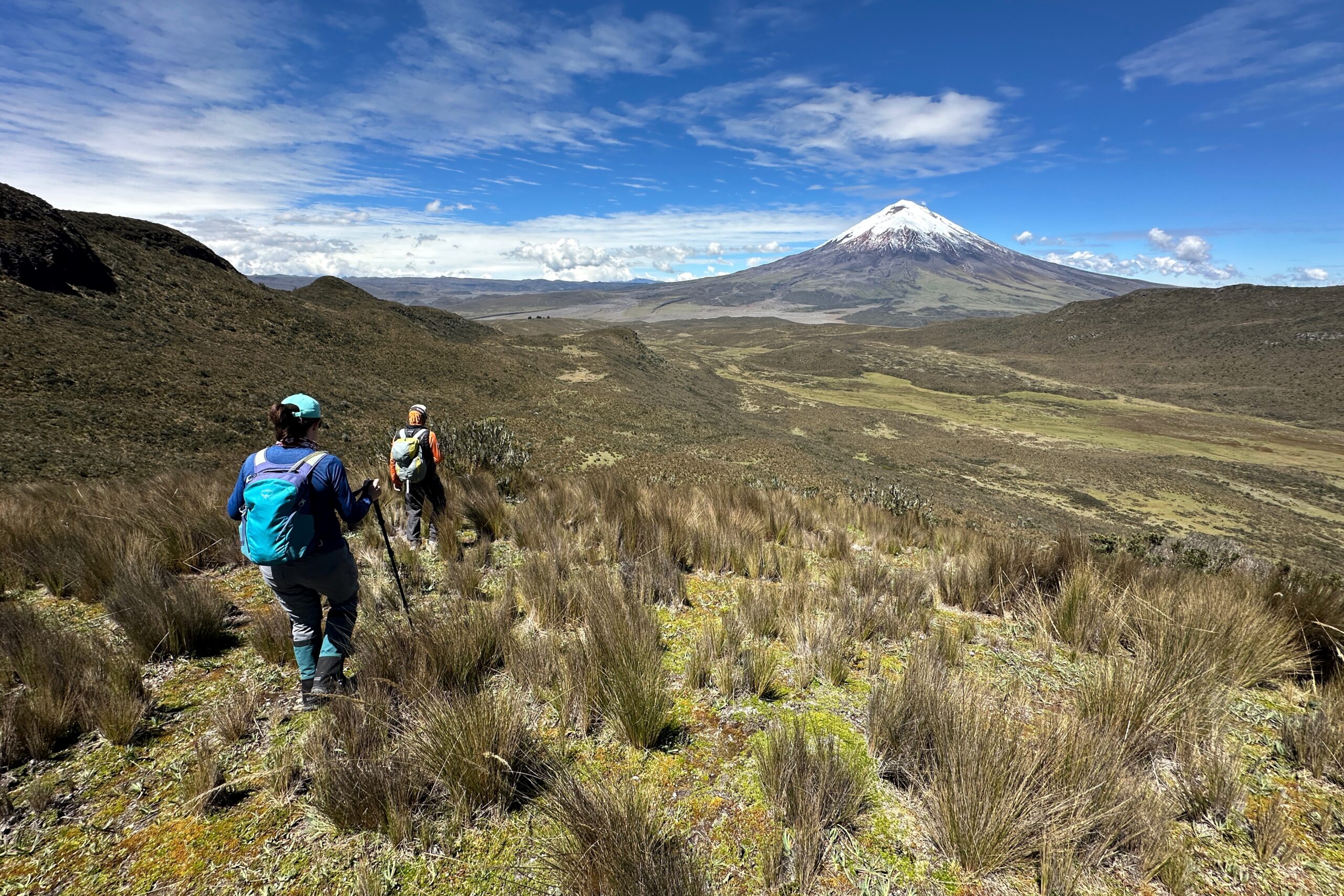
All downhill from here
Following natural drainage paths
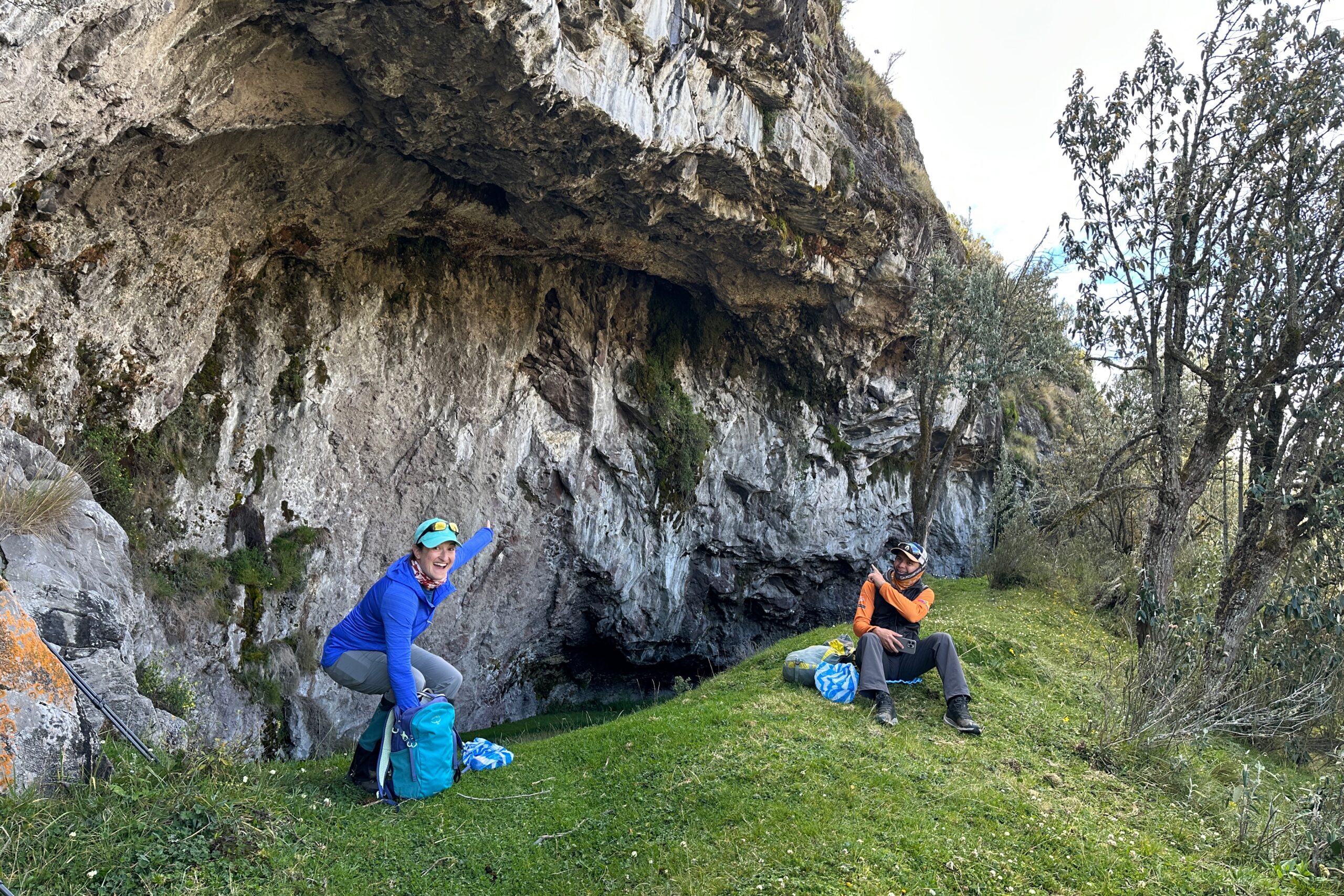
Lunch by the owl cave
After lunch, we had about 3 more miles to go. We made it to Tambopaxi Lodge in good time and had the afternoon to relax. Overall, the hike was eight miles, took six hours, over 2,000 feet in elevation gain, and had a maximum elevation of 13,843 feet. Oh, and zero rain!

Hiking…
Still Hiking…
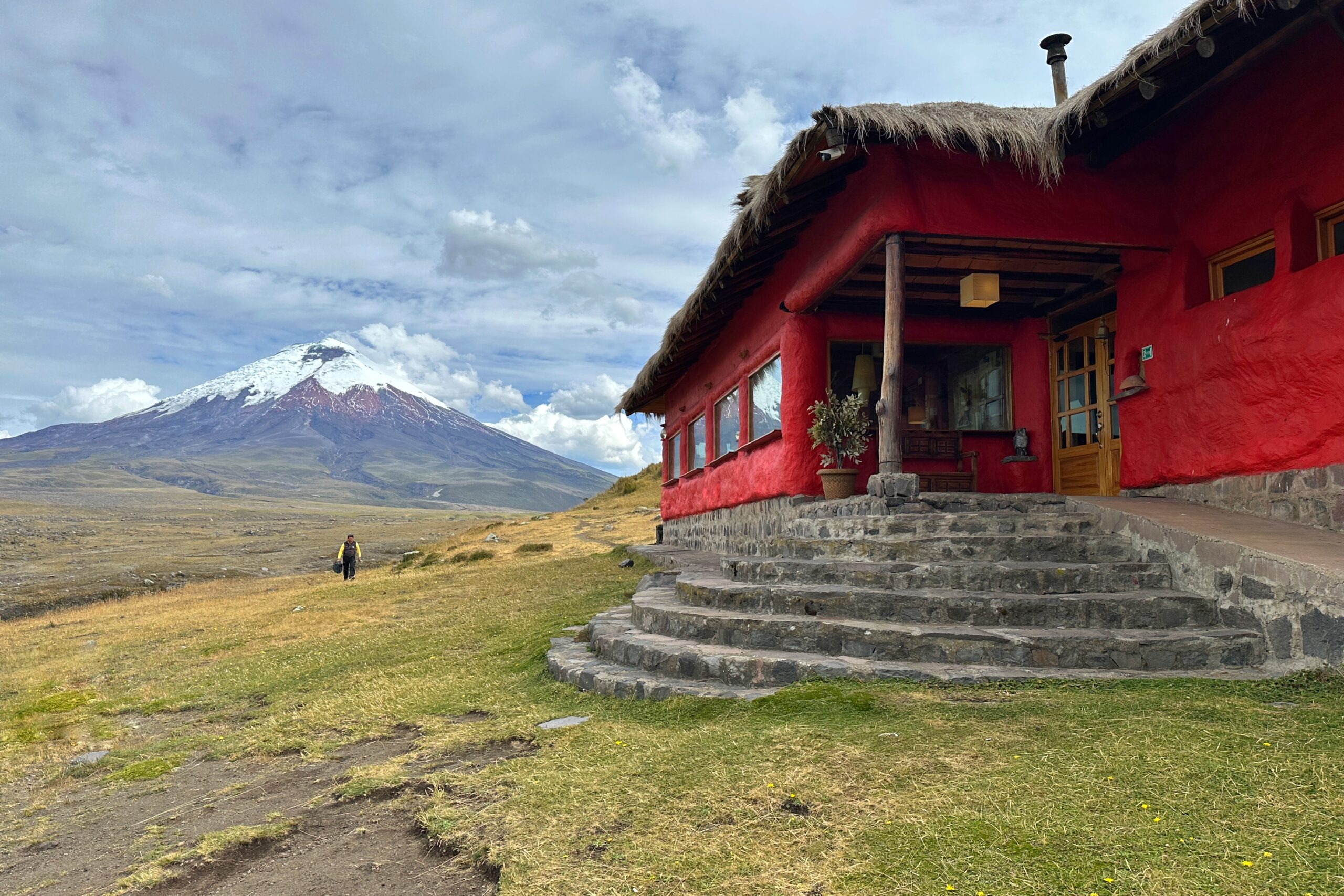
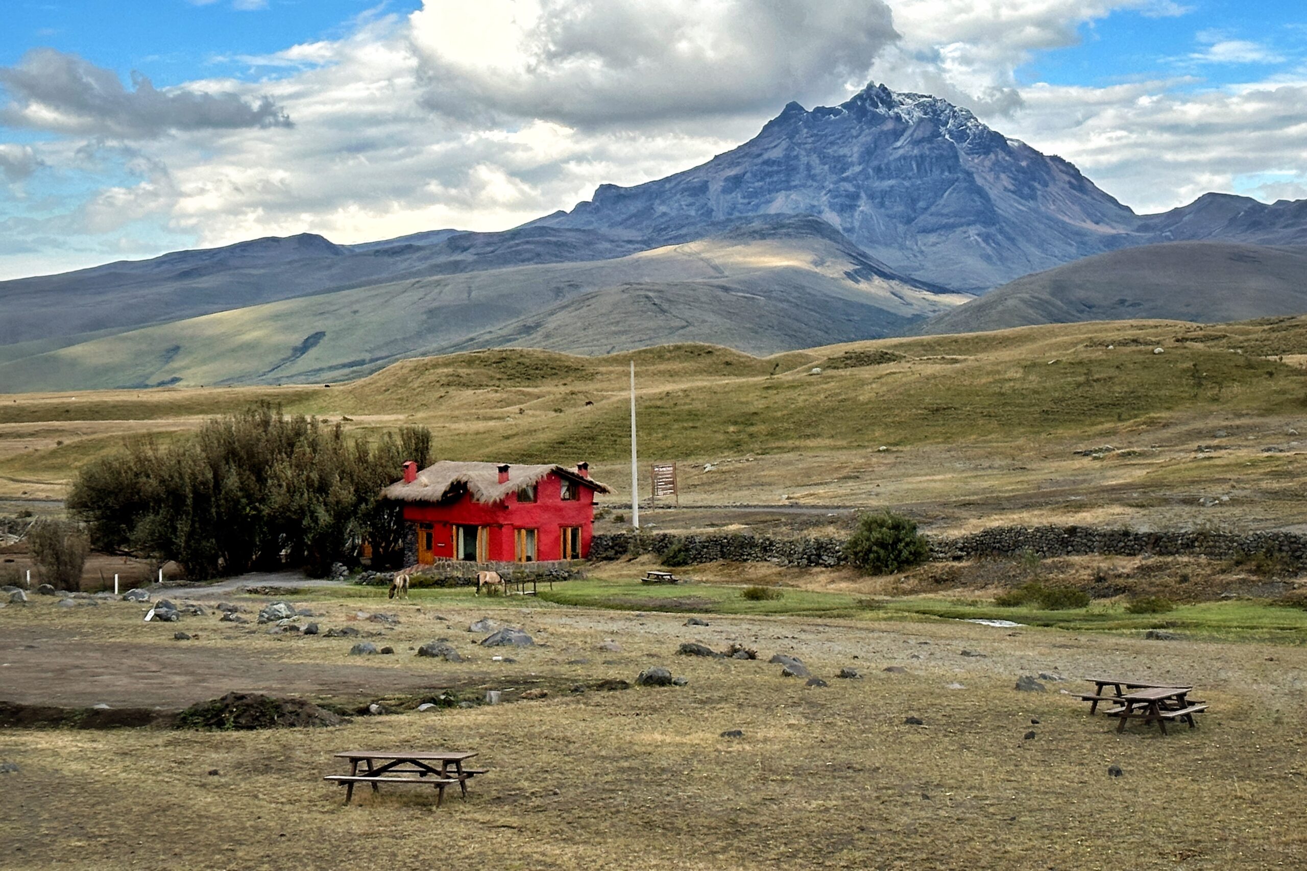
Arrival at Tambopaxi Lodge
Our cabaña for the night
This is basically Link’s house
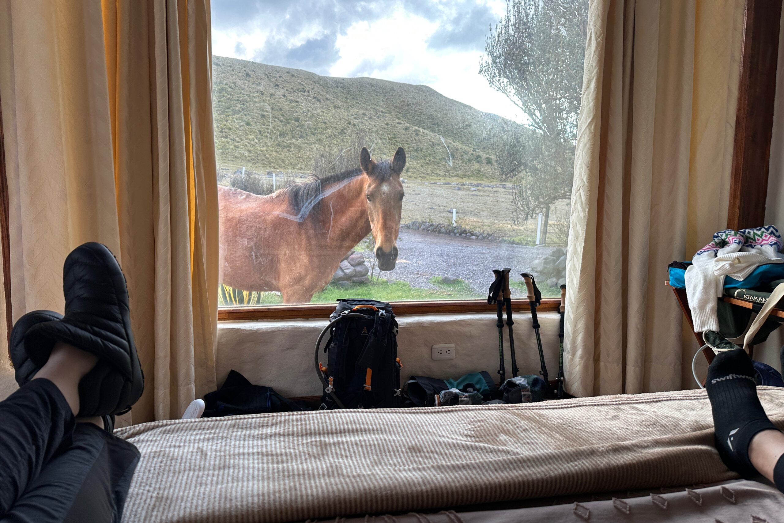
Hey guys, how the nap?
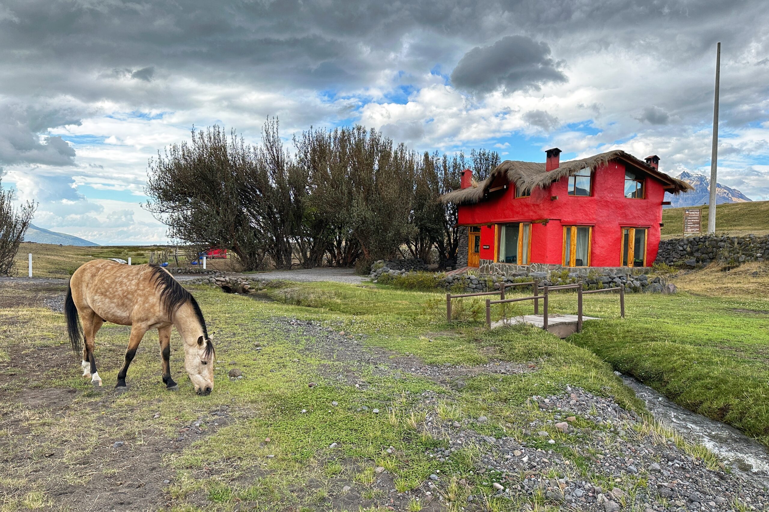
After a couple hours of relaxing — and watching the sunset — we walked back up to the main lodge building for a bite to eat and a couple refreshing Apple Ice flavored Gatorades. Hopefully the electrolytes will help Jo recover from a bit too much sun on today’s hike and we’ll be ready to roll tomorrow for Cotopaxi.
Late afternoon Cotopaxi
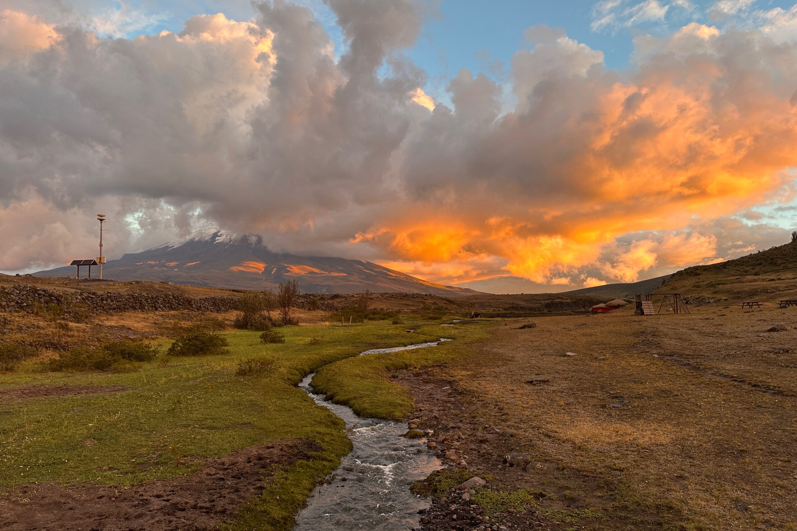
Cotopaxi and Tambopaxi sunset