Day 7: Los Pumas & Confluencia
The weather forecast for today was wrong. It was supposed to rain in the afternoon but it actually rained almost all day. However, that didn’t stop us from enjoying two half-day hikes. After our usual morning routine, we met up with a group of hikers for the morning. Mica was our guide and we set off on foot. The trail head was the same as the one for Laguna Cisnes – a quick walk from the hotel.
The trail went through steppe, the dry, grassy areas of Patagonia. Guanacos live in the steppe, and we saw many along the way. One of the main attractions of this trail is the large suspension bridge. It was created to connect the two side of the Chacabuco Valley, separated by the river. This bridge now allows hikers to pass between the sides and provides a reason for the park to maintain the trails and build camps.
After crossing the bridge, the weather let up for a few minutes and we took a coffee and cookie break. When Mother Nature decided we had enough of a break, we crossed back again and we were on our way back using the same path.
The name of this hike is Los Pumas because it is located within the Puma conservation area. There are rangers who tag and track some of the pumas to help with the conservation effort. While we saw signs of puma activity such as guanacos carcasses and tunnels under the bushes, we did not actually see any pumas. The total hike was 7.2 miles with 900 feet of elevation gain.
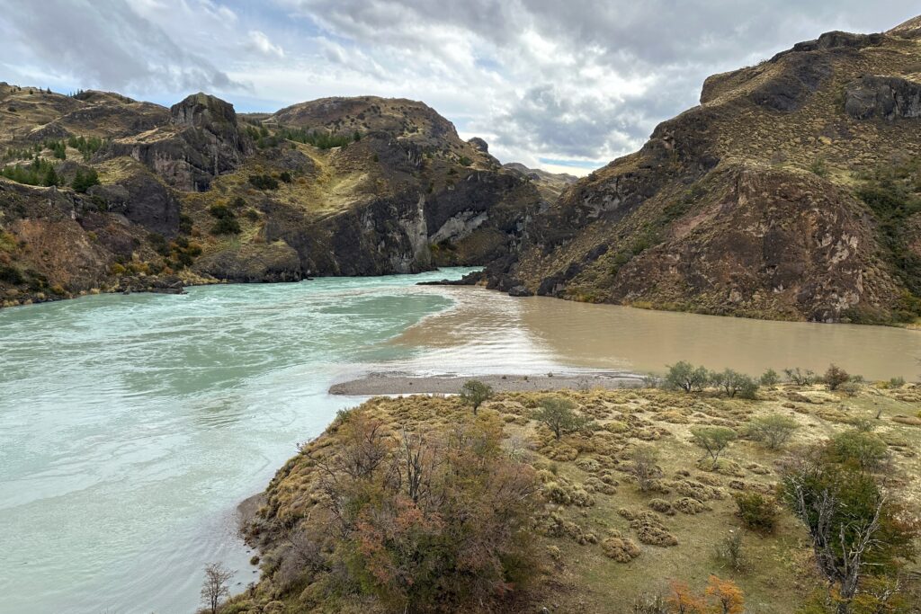
We dried off and had lunch before getting ready for the afternoon exploration. We met up with the two other people and our guide, Iggy who drove us about 15 minutes to the trailhead of the Confluence. This is where the Baker river and the Chacabuco river meet. Because of the rain, the Chacabuco river was a bit more brown than usual, making the contrast even more clear. The Baker river is turquoise due to the sediment from the glacier it comes from.
There was going to be a dam built at this location for hydroelectric power that would have flooded the National Park area and essentially wiped out all of the wildlife. Douglas Thompkins helped the campaign to block the dam and saved the park.
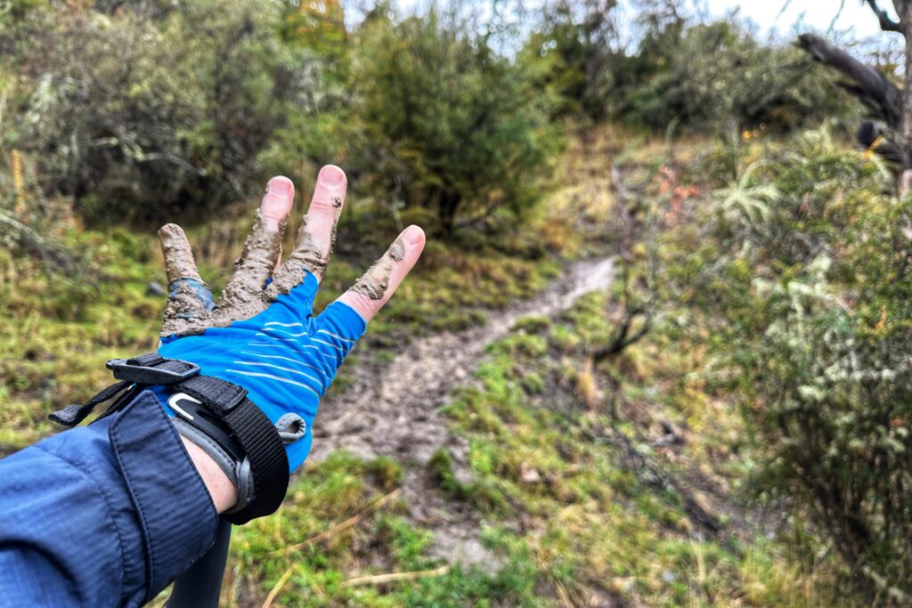
The hike was relatively short with a mile of downhill before getting to a beach area. The path was nice and clear from rocks, but because of the rain, it became very muddy and slippery. The vast majority of the trail was fine, but the last few feet was basically a mudslide. We all made it down safely with just a few muddy hands and very muddy shoes.
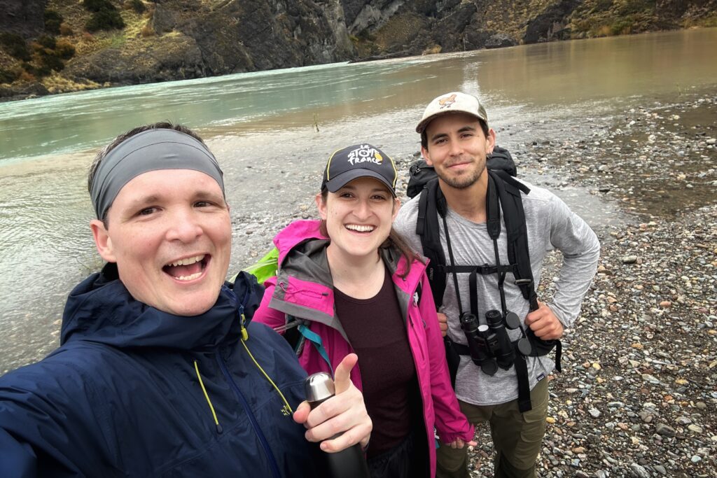
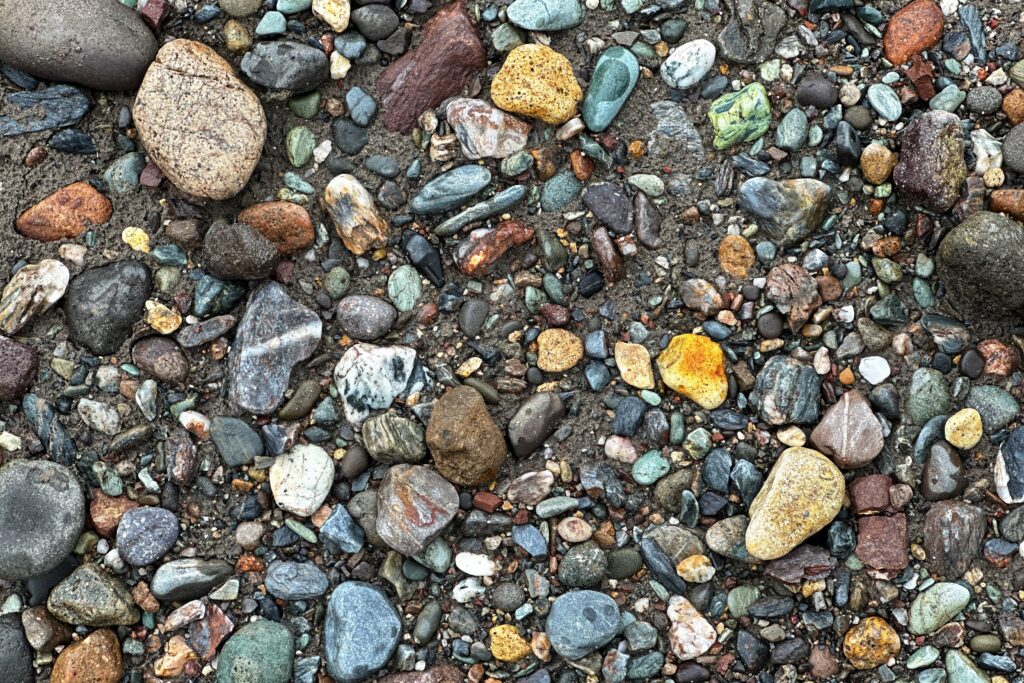
At this time of year, the water levels of the rivers are low enough that the shore is exposed. The rain had stopped and we took a coffee break and skipped some rocks. Getting back up the mudslide was also an adventure. The best method was to go as fast as possible so you don’t give your feet any time to slide back down. We made it back to the car and headed back to the lodge.
We picked our exploration for our last day – a long half-day hike. The weather is supposed to be raining again, but that’s not going to stop us.


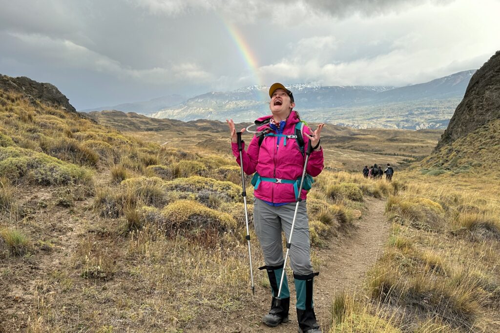


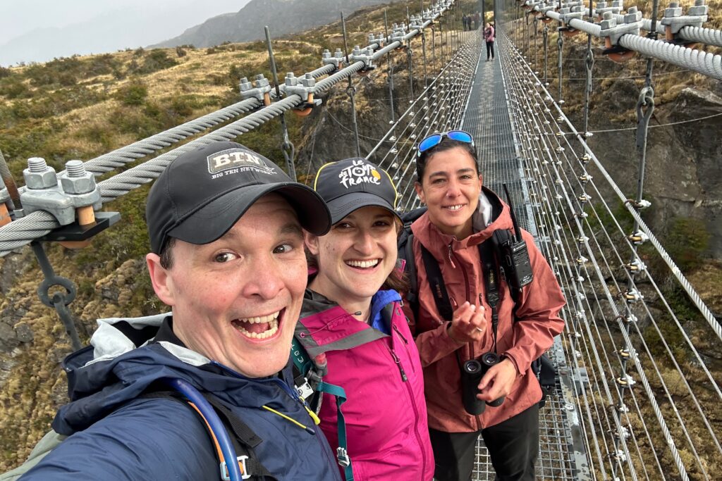


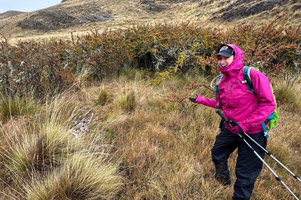

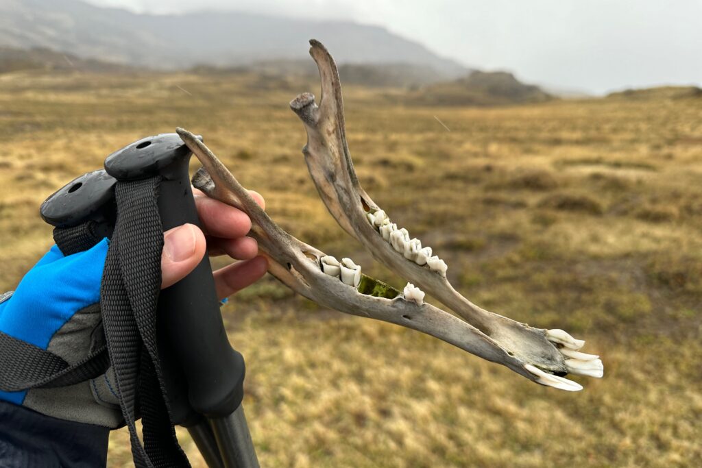


Oh so sorry the rains came….but they always say there is not bad weather only bad choice of clothing! And you two are well equipped. Yay! I have to say the photo of Joanna with the rainbow ‘arriving’ in her mouth gave me a brief flashback to The Green Mile! LOL! Suspension bridge looked awesome ……no bouncing the others!! great video! The colors of the waters are awesome. The shot of the confluence is quite impressive. Finding all the animal carcasses, bones etc. is surely interesting. I was always told by the rangers that cats in the wild will always go for the smallest thing – so look BIG! Do pumas fall into that category? Anyway, rocks are pretty and mud is fun. Have a great hike tomorrow!
Crocodile rock.
Come on guys.
Good point! But we were very focused on the fact an alligator got Chubbs in Happy Gilmore.