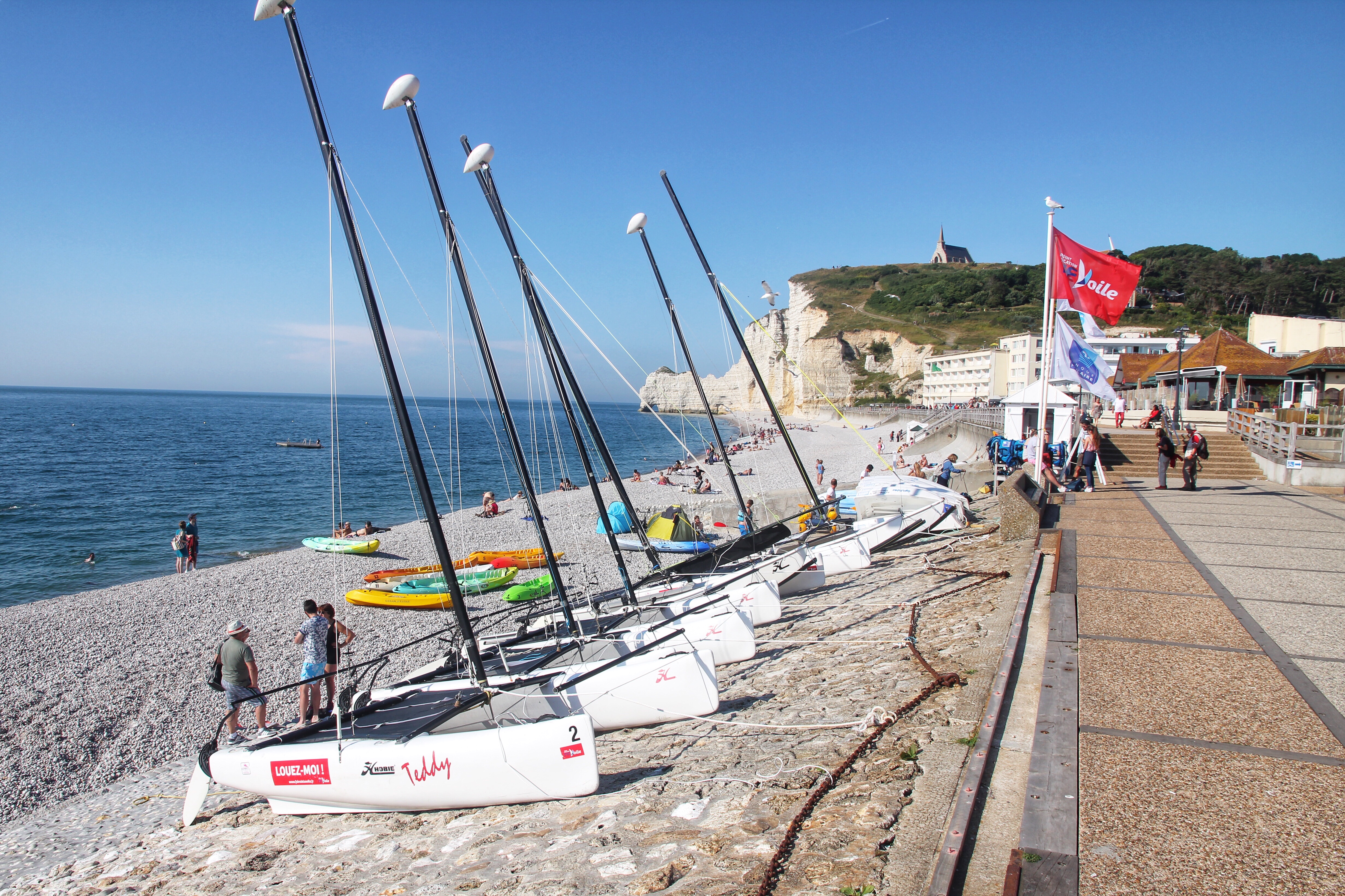
Day 6: Port Louis/Sarzeau
Tour de France day! We started with a quick early breakfast at the hotel and picked up Nate, Hannah, and Alan with a trunk full with provisions for the day. Today’s fourth stage of the Tour starts in La Baule and ends around 5:45pm in Sarzeau, which is a city on the Gulf of Morbihan about a 70-minute drive south of Port Louis along the Atlantic coast.

2018 Tour de France Stage 4 map
We made good time and successfully achieved our primary goal of beating traffic and road closures before access was blocked in certain directions later in the afternoon. With a few hours to spend in the Sarzeau area before we made our way to the finish line, we dialed up the Nate Caucett travel agency for two great suggestions.
When people think of French beverages of the adult variety, they probably think wine and/or champagne. However, in both the Normandy and Brittany regions “€ where we’ve been traveling the last five days “€ cidre might be king. In the town of Le Hezo, we made our first stop at la Maison du Cidre, a working cidery that showcases both antique and modern cider-making.

Cider apples slightly different from eatin’ apples
Starting with a video explaining the local history and process of cider making, the self-guided tour continued to the outdoor museum displaying the equipment. They keep a colony of bees on site to pollinate the apple trees. We concluded the tour with a tasting in the garden, which naturally led to a purchasing in the shop.

Large antique press for extracting the juice
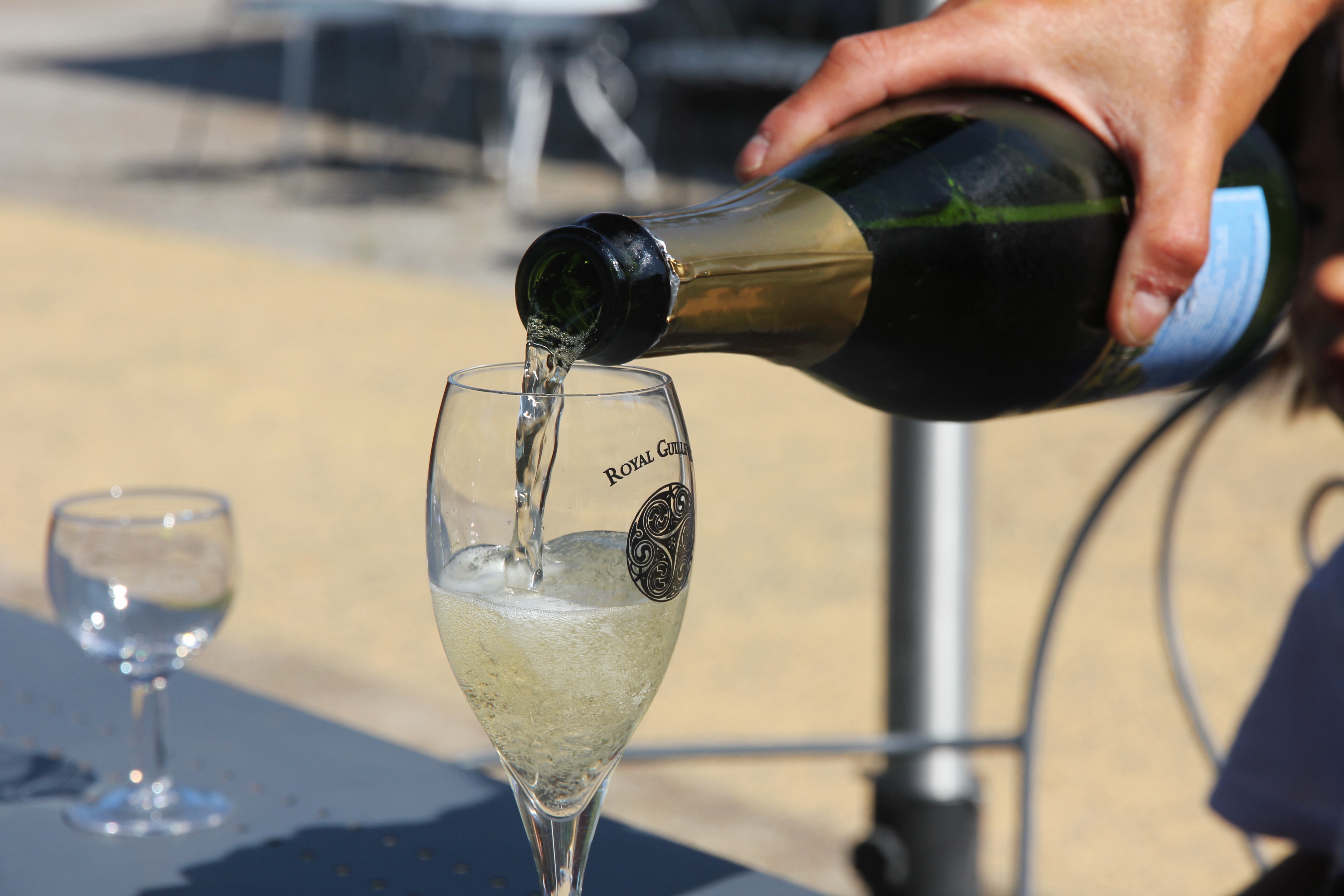
One of the finished products, Royal Guillevic
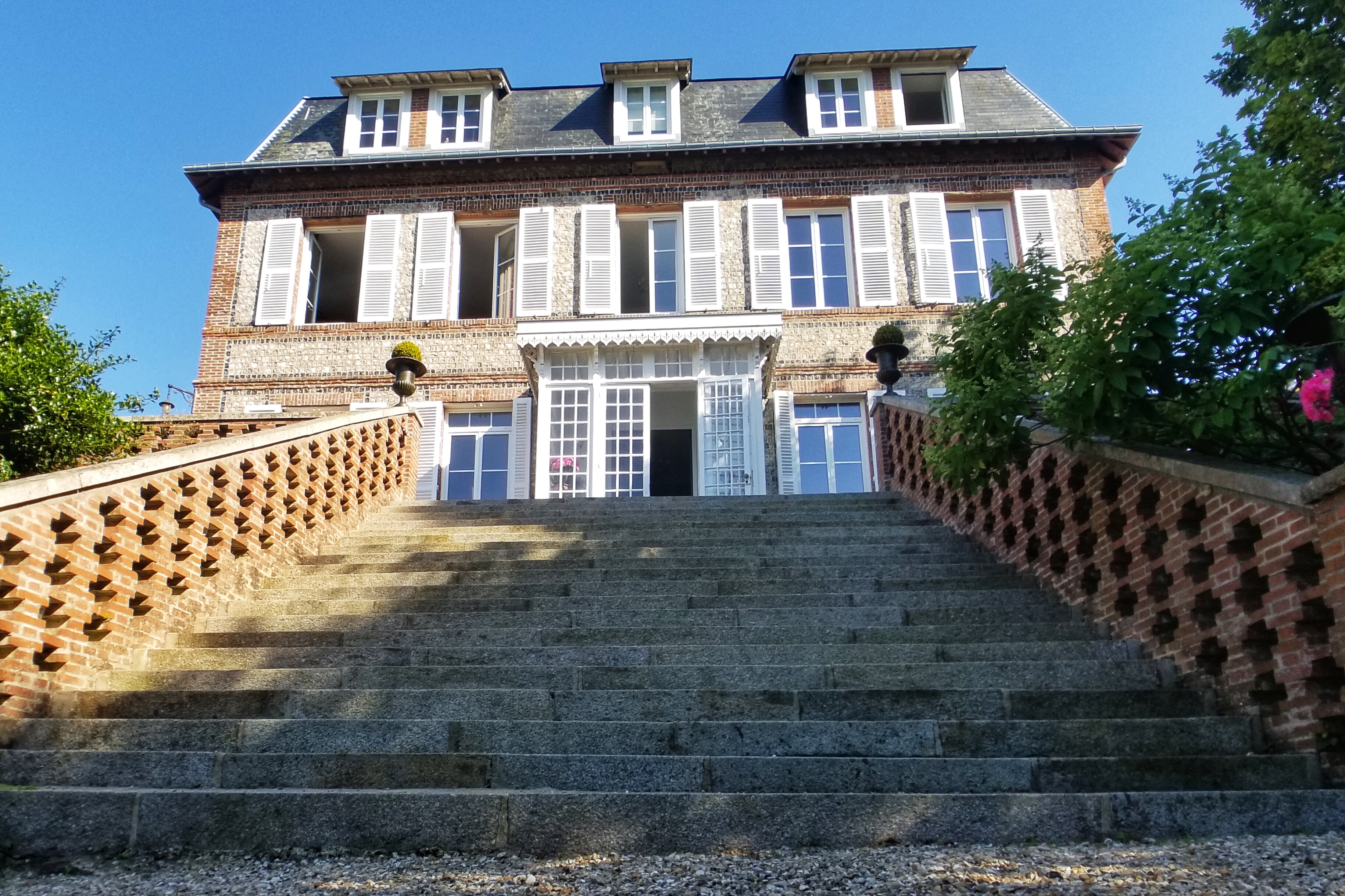
Our second stop was Château du Suscinio. Without a full afternoon to explore the castle, we opted for the free walking tour on the paths around the moat “€ including a wooded path close to a nearby pond. Built in the middle ages, the castle was home to the Dukes of Brittany and has undergone serious renovations over the years.

My King’s Castle LEGO set, only real

With a working moat

Nicely restored towers

Now, where is that secret knot?
Next up, the main event… the Tour de France! Being inside the restricted area made it easy to find parking in one of the allocated lots, and in case there was any doubt, plenty of official tour vehicles and media cars helped guide the way.
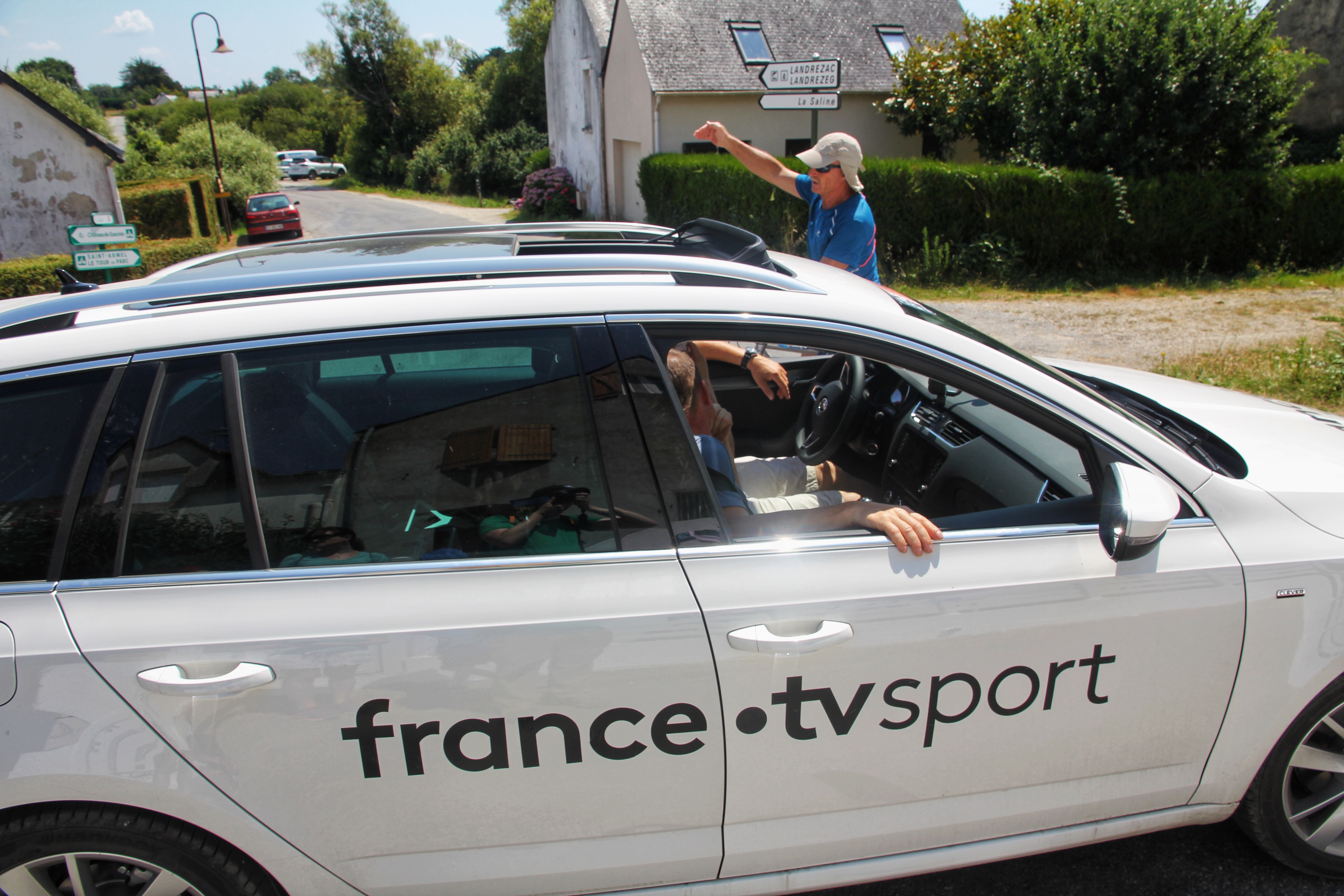
Is there some kind of event we should be airing today?
We loaded up the pull cart with picnic supplies and trekked through the crowd until we found a suitable spot to camp out and watch the stage finish in a couple hours.

Tour wagon ready to go

Our spot 400 meters from the finish line
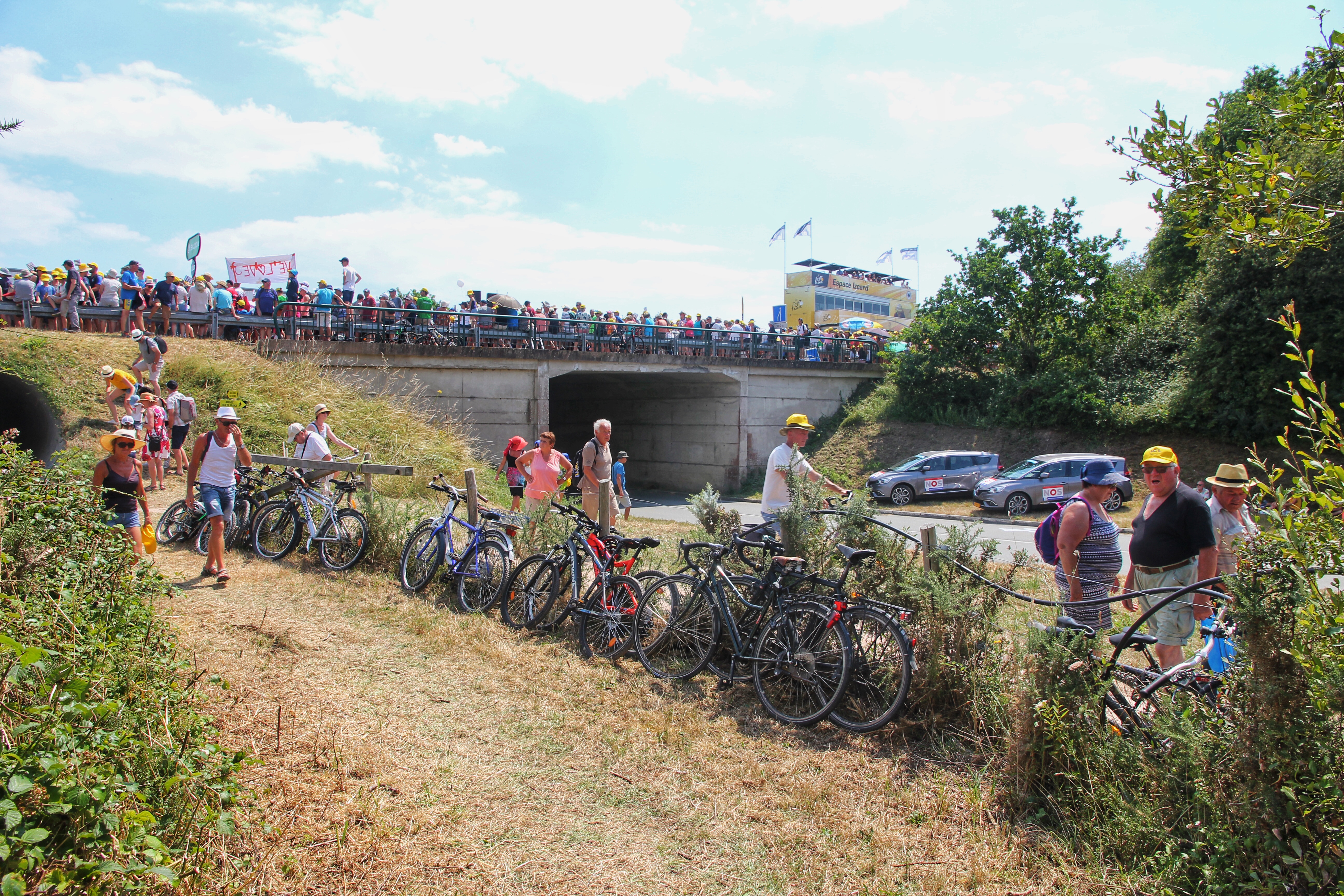
Like the state fair, along a single road

Jumbotrons to monitor the approaching action
From one of the vendor booths, a spiffy Tour de France hat was procured to satisfy both my souvenir and sun protection needs. Then, to amp up the crowd, about an hour before the riders crossed the finish line, we witnessed a sponsorship parade that took the art of distributing fan samples to epic levels. Among the things our group successfully grabbed in the melee… a shirt, grocery bags, candy, superglue, various hats, more candy, keychains, and a plush rooster.

Missed opportunity not making that an actual Bic pen cannon

Final moments before riders arrive
Finally the race approached, the tension rose and the riders came through! If there was any doubt, they go A LOT faster than it appears on TV “€ roughly 60-70 km/hr. With the crowd noise, the race announcer and the wooooosh created by the riders, it is quite a spectacle. Here are a couple videos we shot as the riders passed us: Video 1 | Video 2
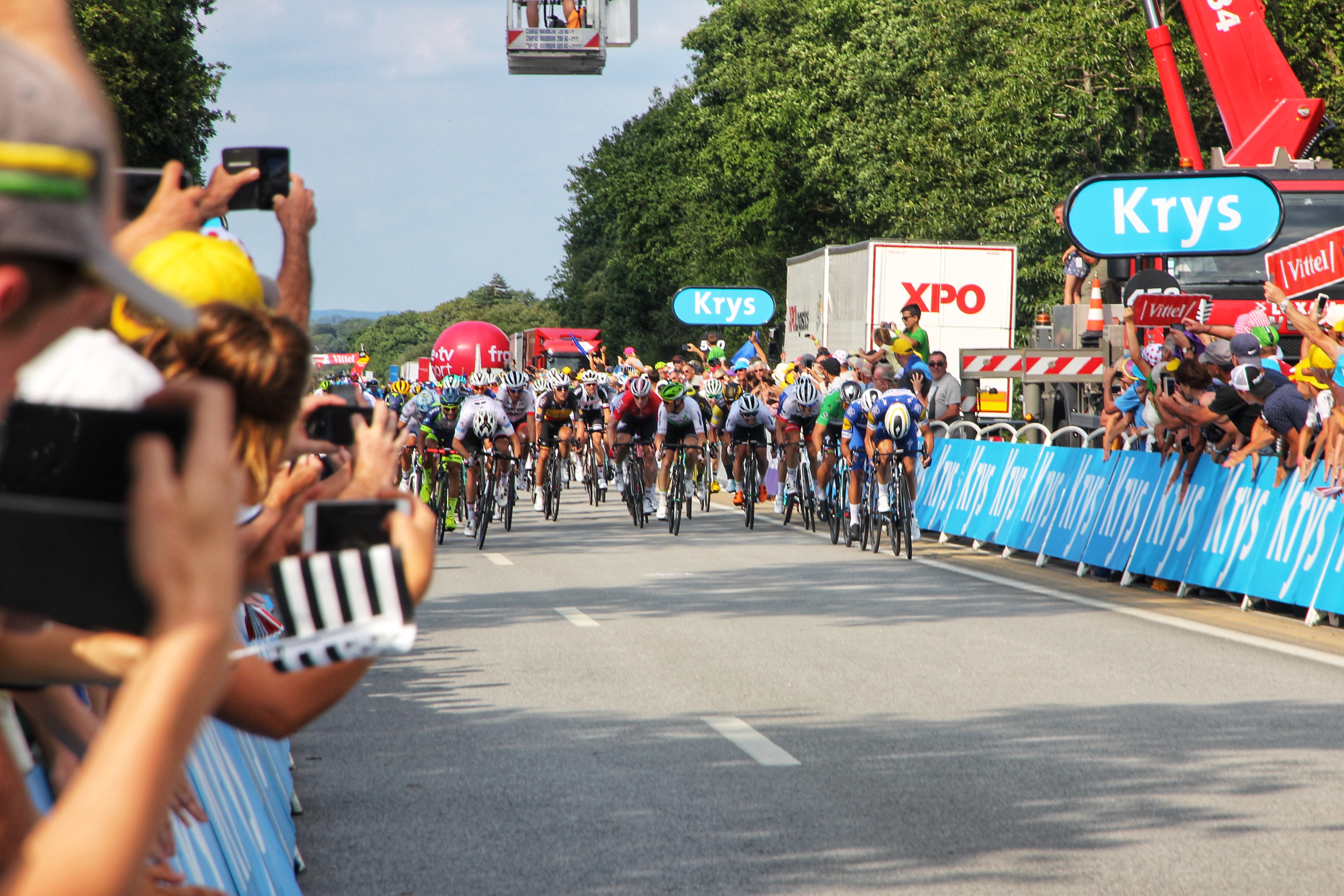
The sprinters approach!
After the race concluded, we shuffled among the rest of the ~50k race fans (and Sarzeau’s ~6k residents) back to the parking lot, packed up the car, and headed back to Port Louis. Considering the scale of the event “€ and the fact the whole apparatus was heading to Lorient for the start of tomorrow’s fifth stage “€ the traffic was not that bad. We only encountered a few traffic “deviations.”
Returning to Port Louis in time to visit the night market, Alex guided us through the shops and led us to a food truck serving traditional galettes from Brittany (savory crêpes made with buck wheat).

Return to Port Louis for Tuesday night market

Galette truck right outside the Caucutt’s house
Since they pair well with cider, we popped open a brut cider from our stash and returned to the Caucett residence to eat, drink, and watch the end of the France-Belgium World Cup game. Spoiler alert: France won, advancing to the finals, and the town went nuts. Apparently this so called “football” thing is a big deal ‘round these parts.

French soccer fans celebrate

Night market mixed with World Cup partying
We ended the day back in the room, listening to the sweet sounds of the night market band playing down the street. Highlights included Santana and Hotel California. When they were complete, we dozed off to the singing and chanting of excited soccer fans.