Day 4: Lima to Cusco
We woke up this morning on the earlier side so we had enough time to pack and eat breakfast. We checked out of the hotel at 8:15, but had them hold our bags until later. We set off for our adventure of the day: a market tour, fruit tasting, and cooking class.

Breakfast at the hotel displaying paragliders way too close together
We walked about 40 minutes to one of the markets in the area and met Jose, our guide for the day. Turns out we were the only ones to sign up, so we got a private tour and class. Jose walked us through the market, explaining the different foods at the stalls and how they use them. There are a variety of meats (they like to use the entire animal), fresh fish, fruits, vegetables, herbs and spices, and smoothie/juice counters. Jose bought a few items along the way that we would be using later in our cooking.
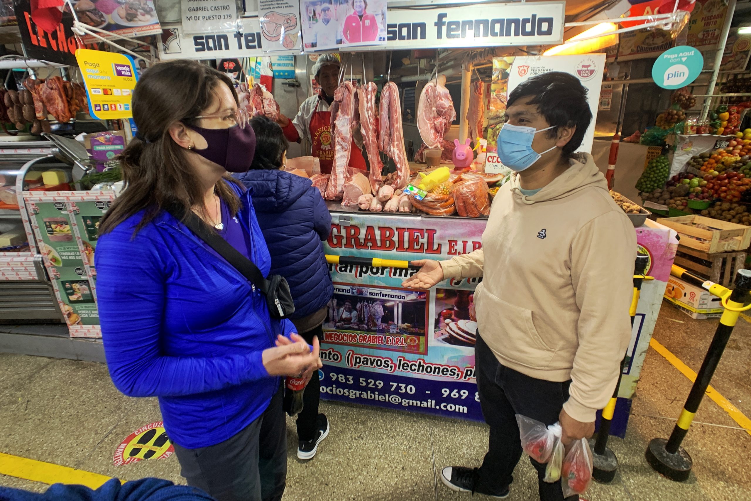
This little piggy went to the market

One of the fruit stands at the market

Vegetable stall where you can get a piece of pumpkin
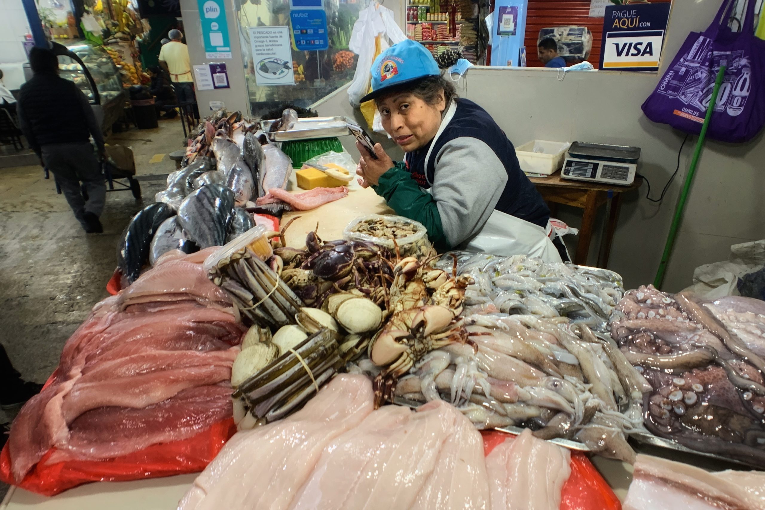
Fish lady will hook you up
Once the market tour was complete, we took a taxi together for a quick ride to Sky Kitchen, located on the top floor of an apartment building. The first thing we did was taste about 35 different fruits. These ranged from the familiar (bananas and citrus) to the unknown (cacti fruit). They were all pretty good, but some standouts were cherimoya, Andean tomatoes, and sanki.

Prepping for Sky Kitchen cooking class

The assortment of Peruvian fruits (and one Mexican)
After the tasting, it was time to cook, but first, we had to start with a a Pisco sour. Pisco is the distilled alcohol from wine, so there are many varieties depending on the wine it came from. We mixed the Pisco with fresh-squeezed limes and egg whites, and boom, delicious drink.
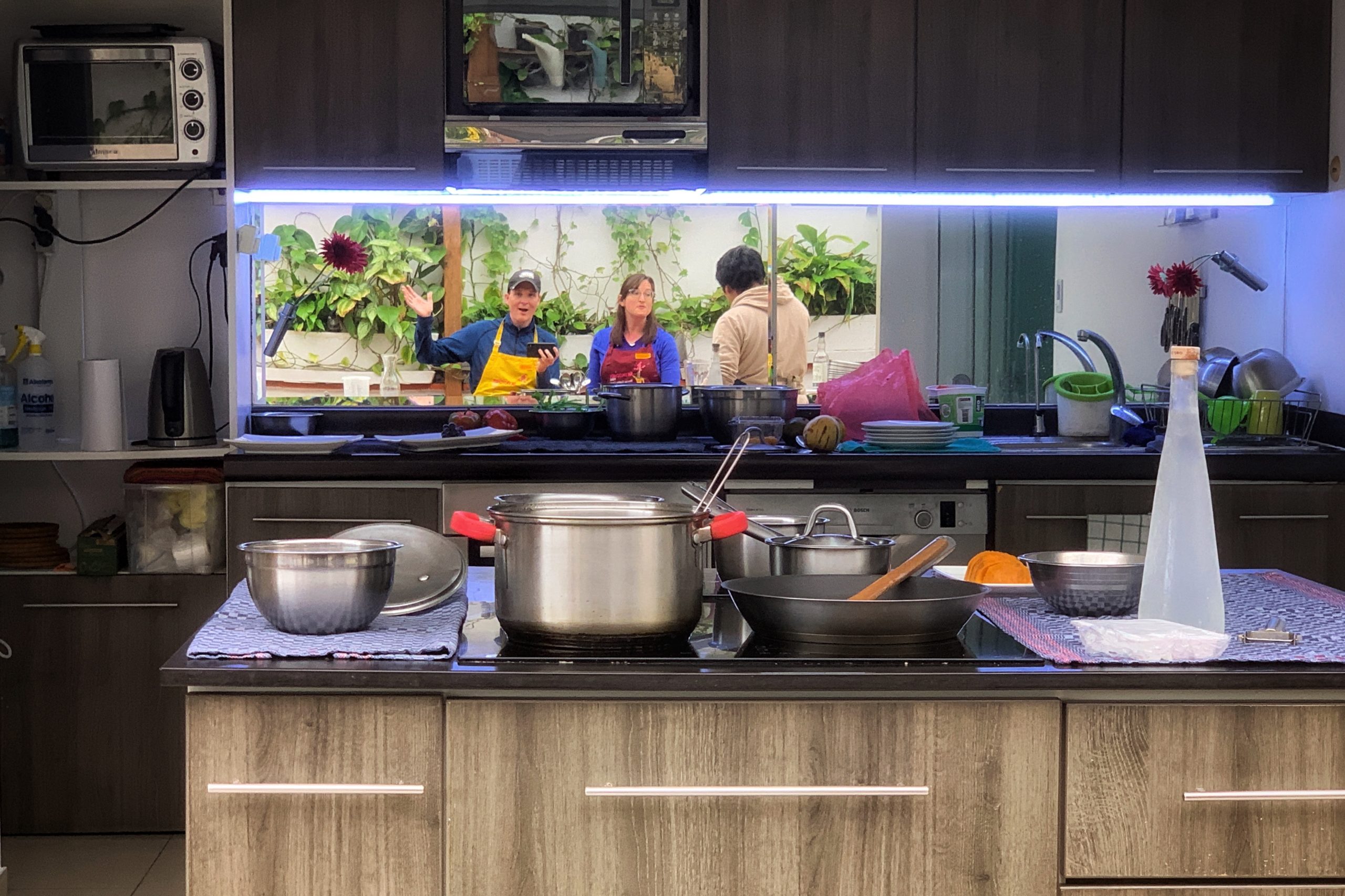
The kitchen, featuring the ever important bottle of Pisco
With that out of the way, it was time to prepare the first course — Causa de Pollo — a mashed-potato, chicken-salad, and avocado tower. Jose taught us how plate it like a professional chef, and I think we did a pretty good job. After each course, we sat down to enjoy it.

There are over 4,000 types of potatoes in Peru (not all pictured)

Adding the finishing touches on the Causa de Pollo
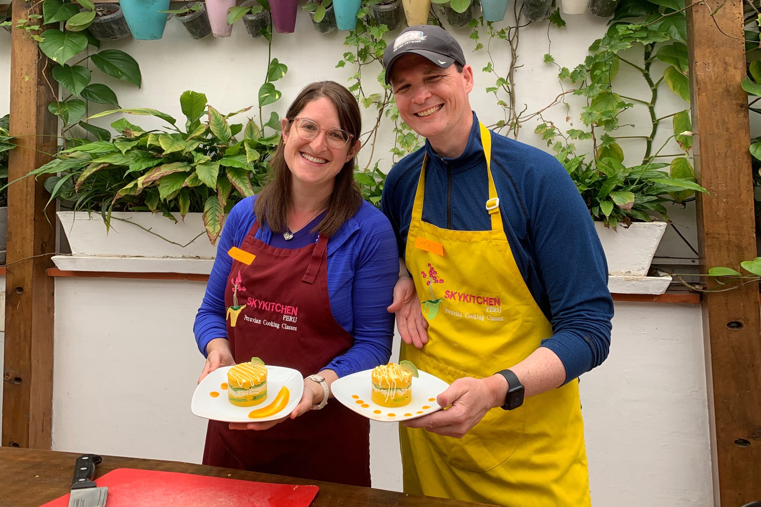
Proud of our work
Ceviche was next. All of the recipes we made were traditional Peruvian food, but this one is pretty well known. We learned about how ceviche uses raw fish, so you have to be sure the fish is fresh. This fish was probably swimming in the Pacific Ocean less than 12 hours ago, so yeah, it was fresh!

All of the ceviche ingredients prepped and ready

Ojo de uva is a good type of fish to use for ceviche, but any fresh whitefish will do
Next on the menu was Lomo Saltado, beef tenderloin stir-fried with tomatoes, onions, soy sauce, red wine, vinegar and herbs. It is served with rice and French fries.

Stir-fry and French fry
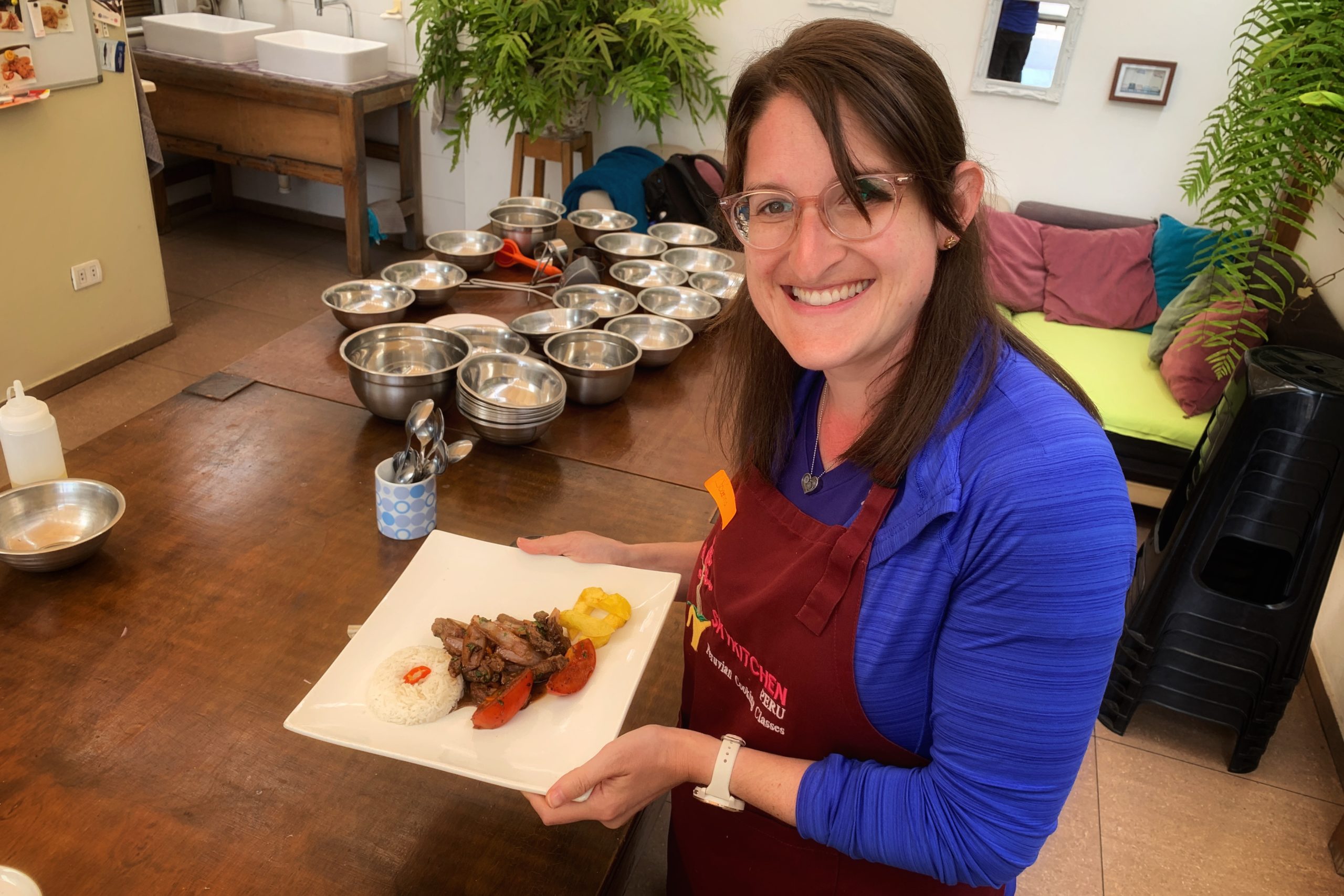
The finished product
Finally, we made picarones for dessert. We actually started making this at the start of the class by chopping sweet potato and pumpkin so it could boil and soften, then mashed it, then added flour and yeast and waited until the end of class for it to rise. By this point the dough had risen and we were ready to fry.
We formed the dough into rings using just our fingers on one hand and dropped them into the oil. There is no refined sugar in the recipe, but there is a syrup made from cloves, cinnamon, and a natural rock sugar derived straight from sugar cane. They were like fall-flavored bingets. On the whiteboard in the kitchen, there was a list of names under “picarones challenge.” Some people ate up to 14 of them. We ate 2. We think they were cheating (they were obviously making Minnesota State Fair mini-picarones).

Dough fry
When the class was completed we were full of knowledge and food. It was a great experience. We walked back to the hotel to pick up our bags and relax for a few minutes before heading to the airport. We got there with plenty of time to spare before our 7 pm flight to Cusco.

Sky Kitchen deck

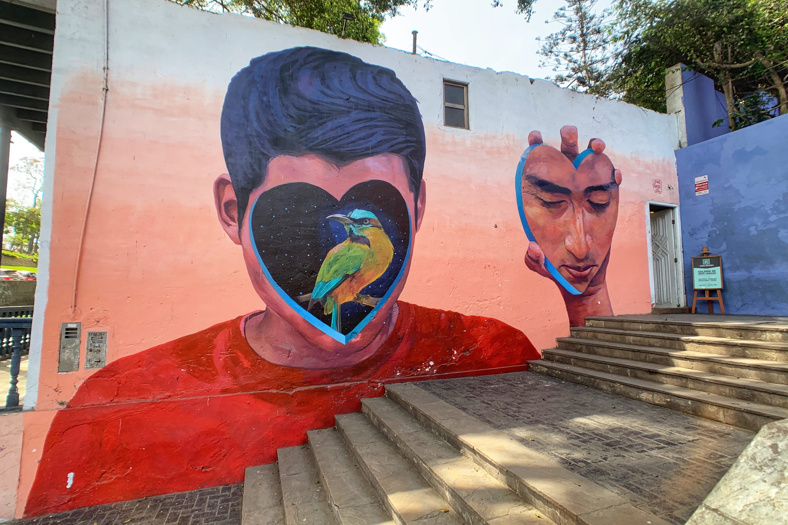
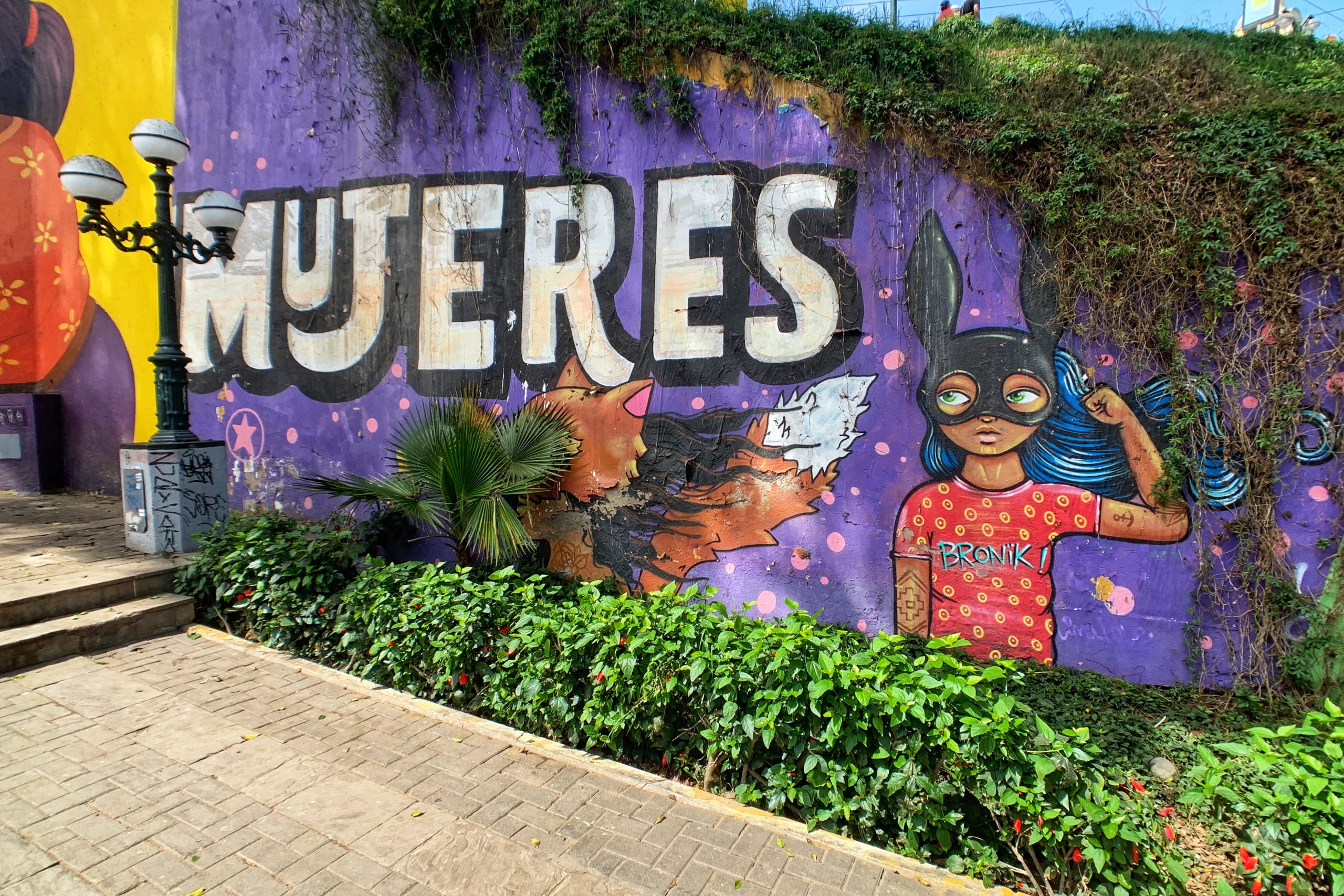
More murals on the drive to the airport
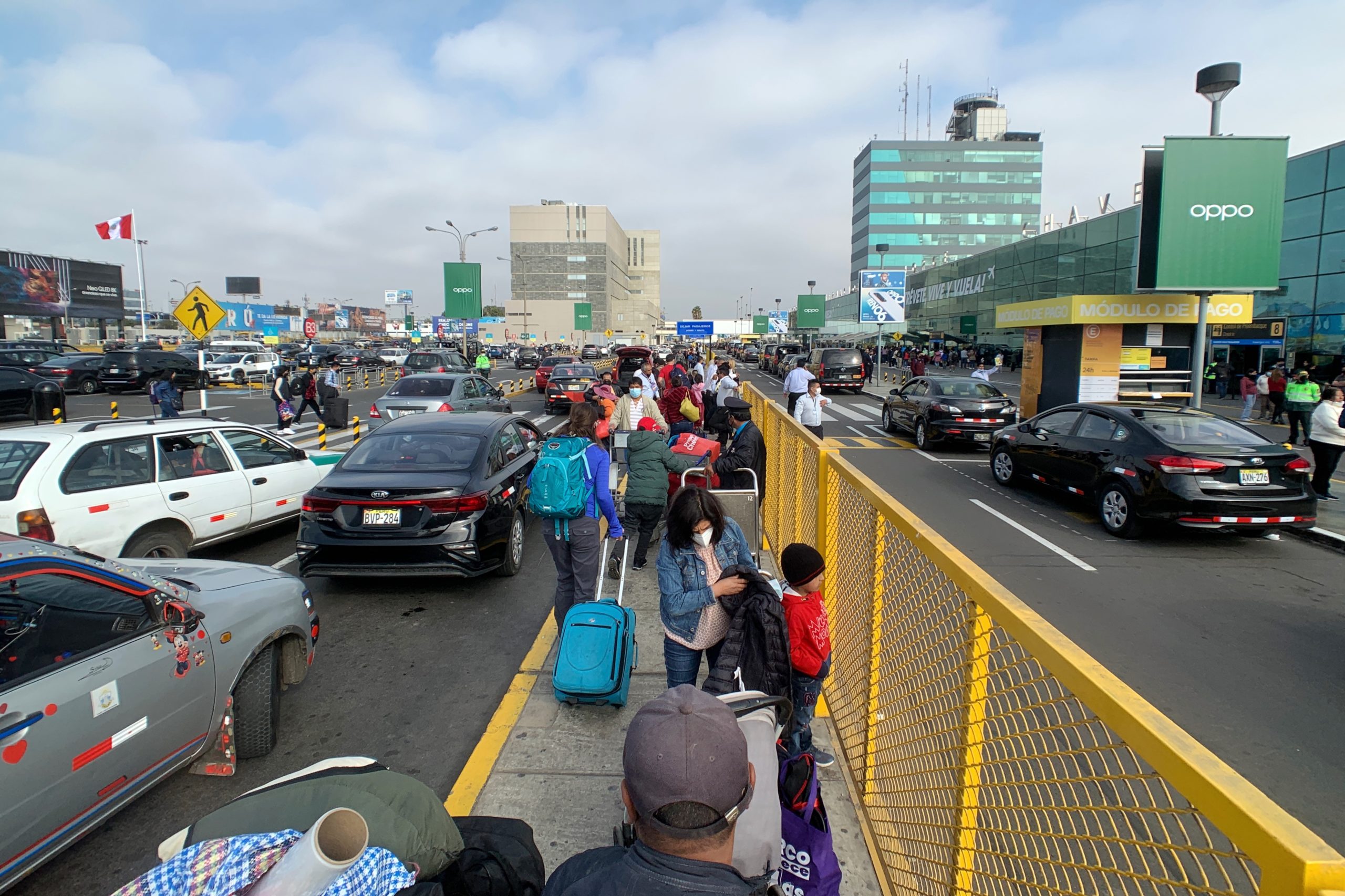
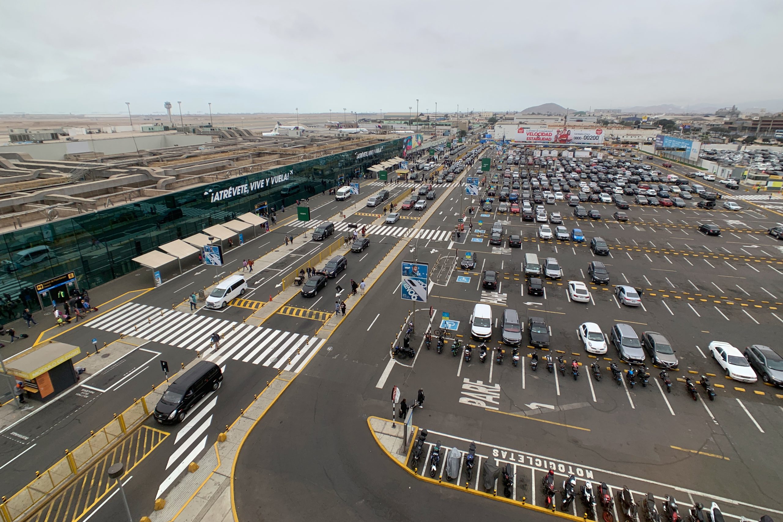
Back at Jorge Chavez International
The flight went well and we were picked up from the airport. The roads were not quite your typical city roads. Soon, we turned off the main street and onto very narrow, uneven, stone roads. The taxi couldn’t quite make the last turn, so we walked up the hill, then up a bunch of stairs that I don’t think the taxi would have been able to climb.

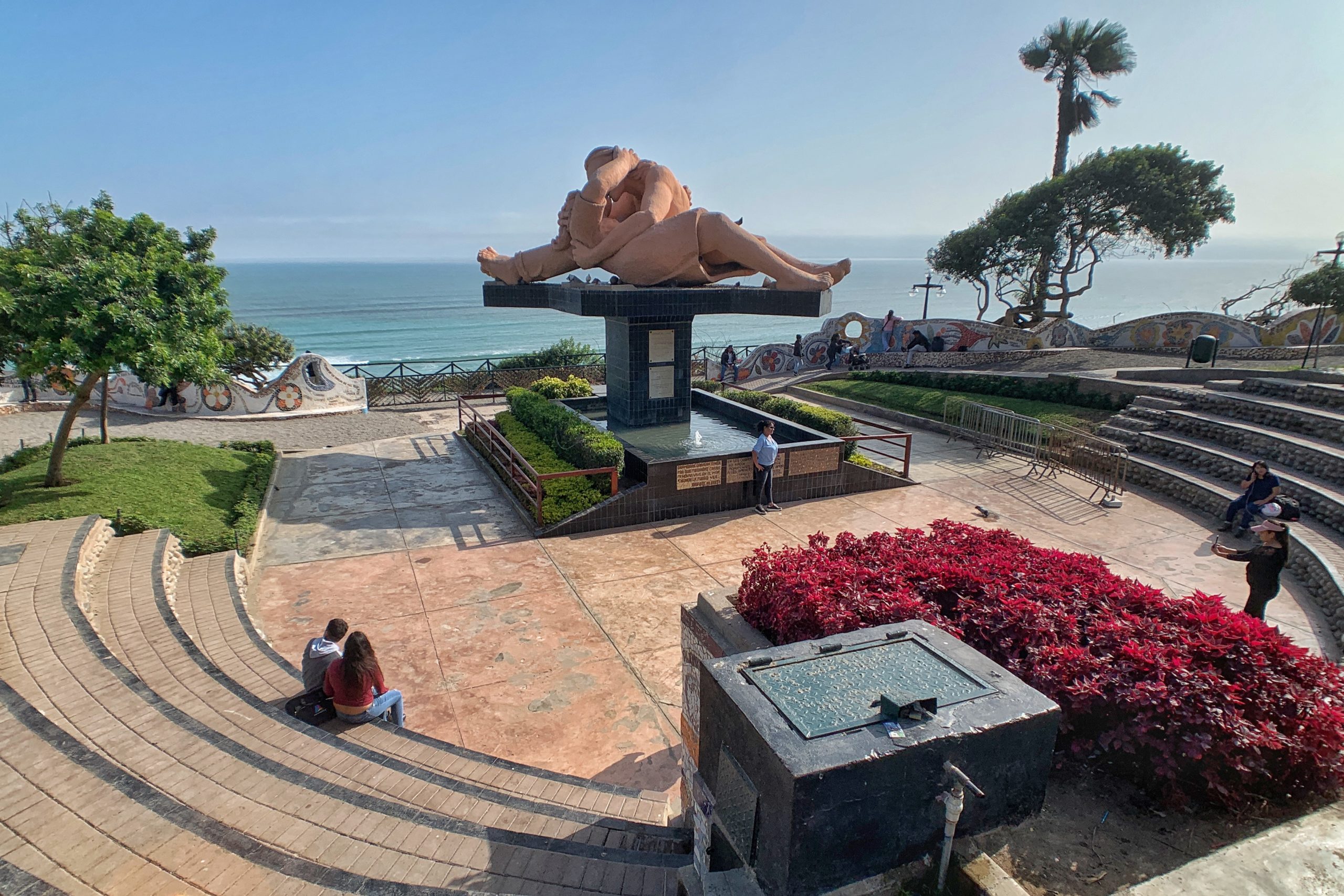
Bye, Lima!

You don’t get this kind of legroom on United
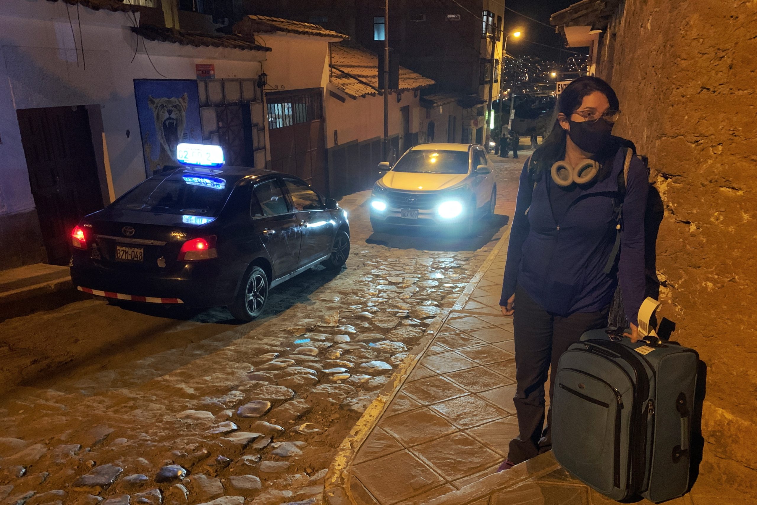
As far as this taxi goes
We made it to our room, complete with a terrace, kitchenette on the first floor, and bedroom on the second floor and enjoyed a few cups of mate de coca tea. Tomorrow we will go to Explora (maybe their van knows how to climb stairs?) for the following 6 nights.