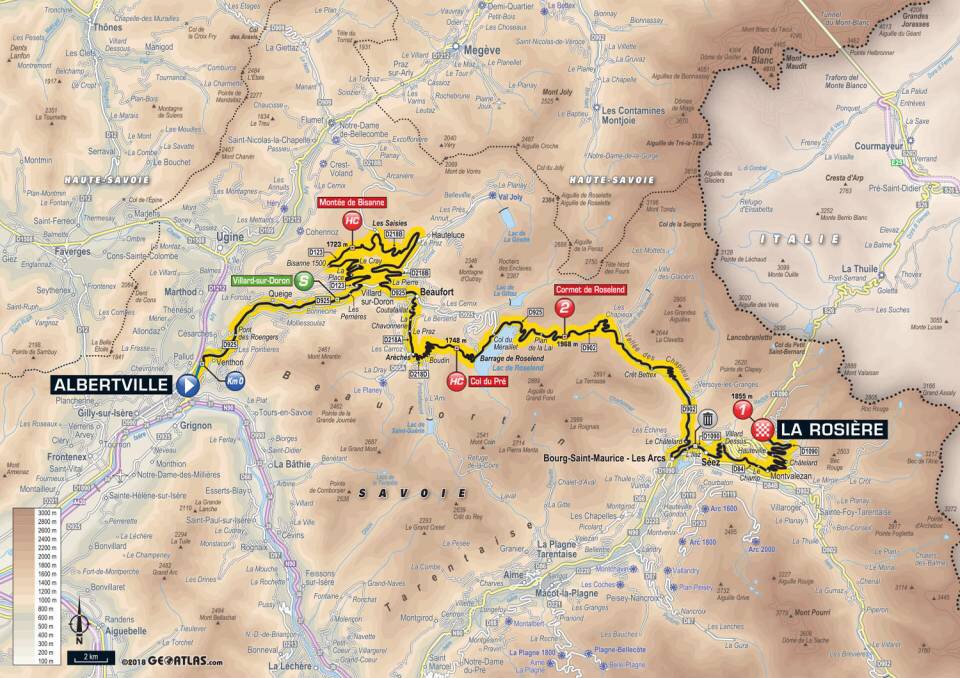
Day 16: Col de la Madeleine
It is our last day of biking with Alpine Chaingang. While the Tour de France has moved south out of the Alps, today we will ride up the northern approach of the Col de la Madeleine — a portion of the route the Tour covered yesterday (before getting to Alpe d’Huez).
On the bright side, it looks like we saved the best for last, as the Col de la Madeleine might be our most scenic route yet. The road is usually buried in snow from November to June. It is a very popular with the Tour, having been featured nearly thirty times since 1969.

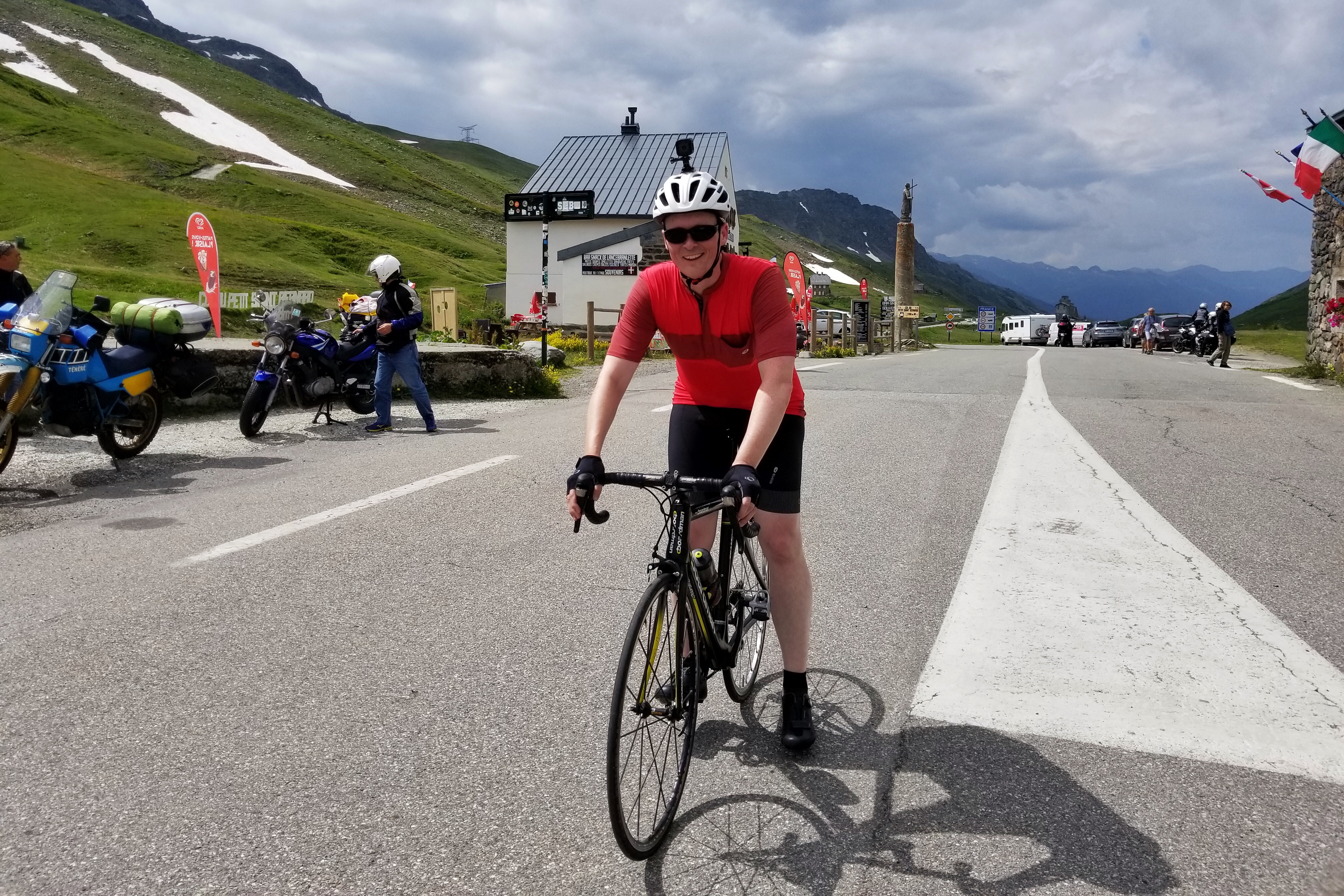
Feeling great on day six!
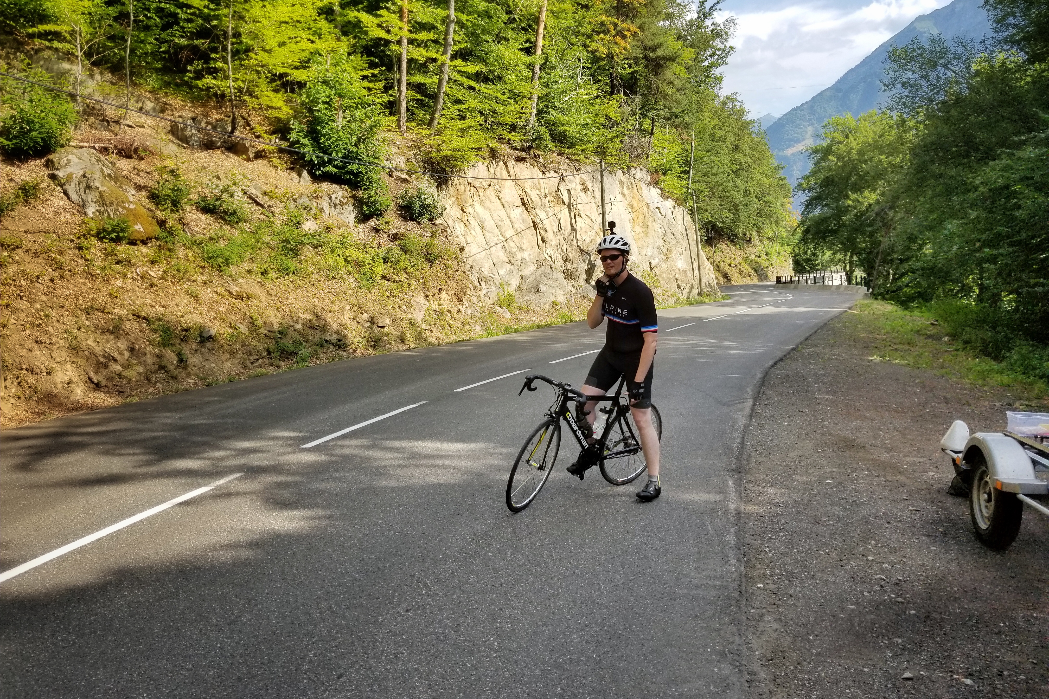
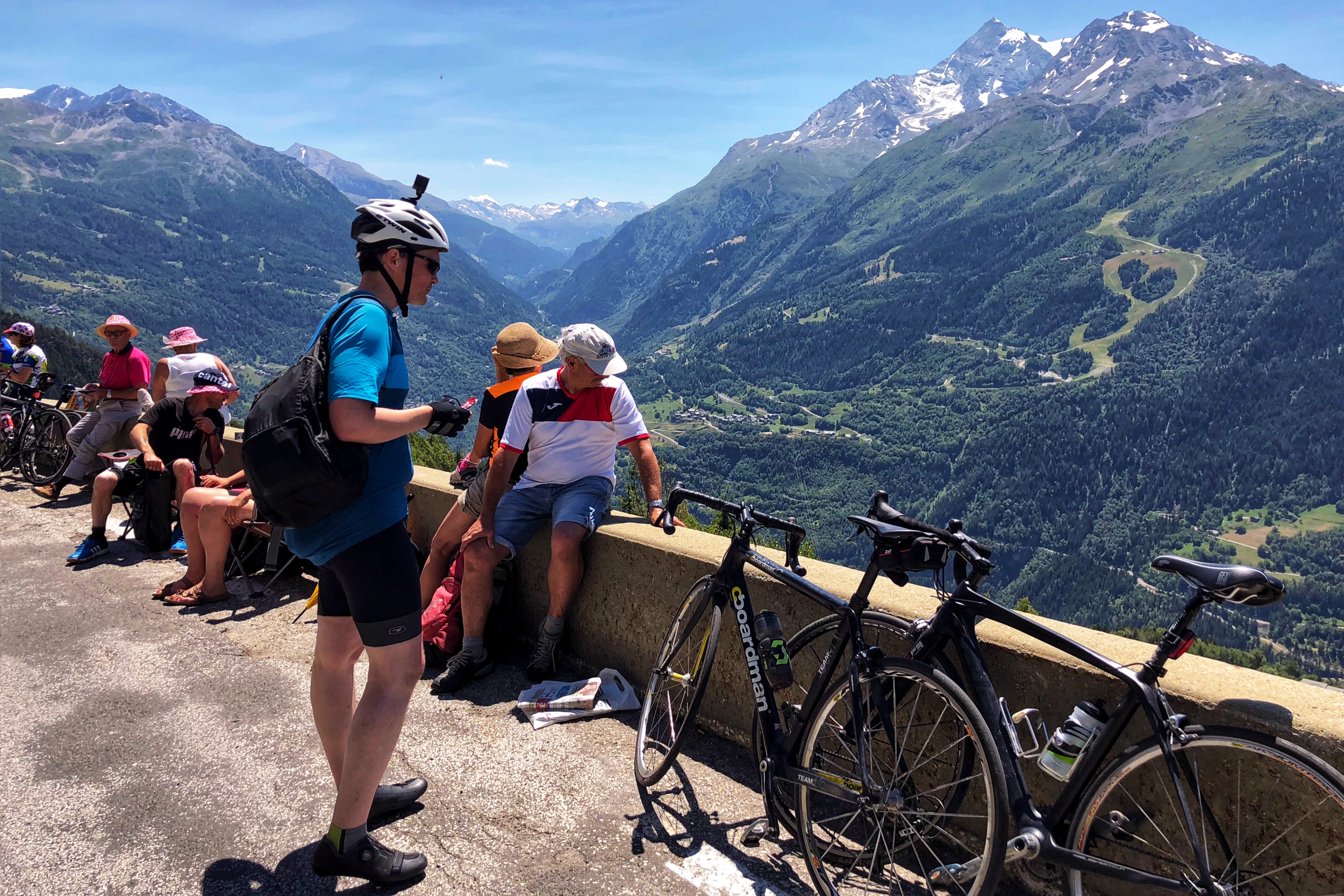
Setting off 21km from the top
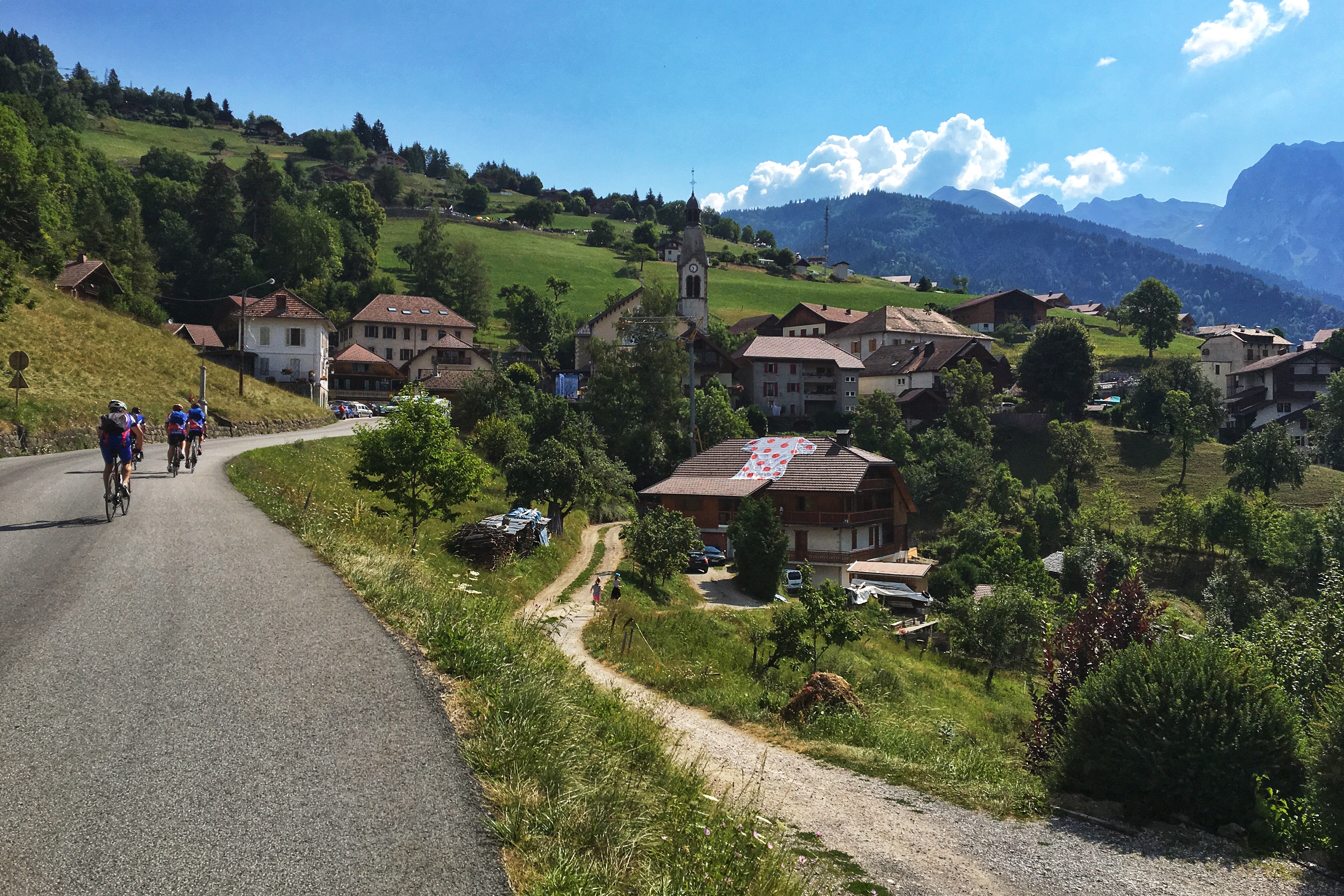
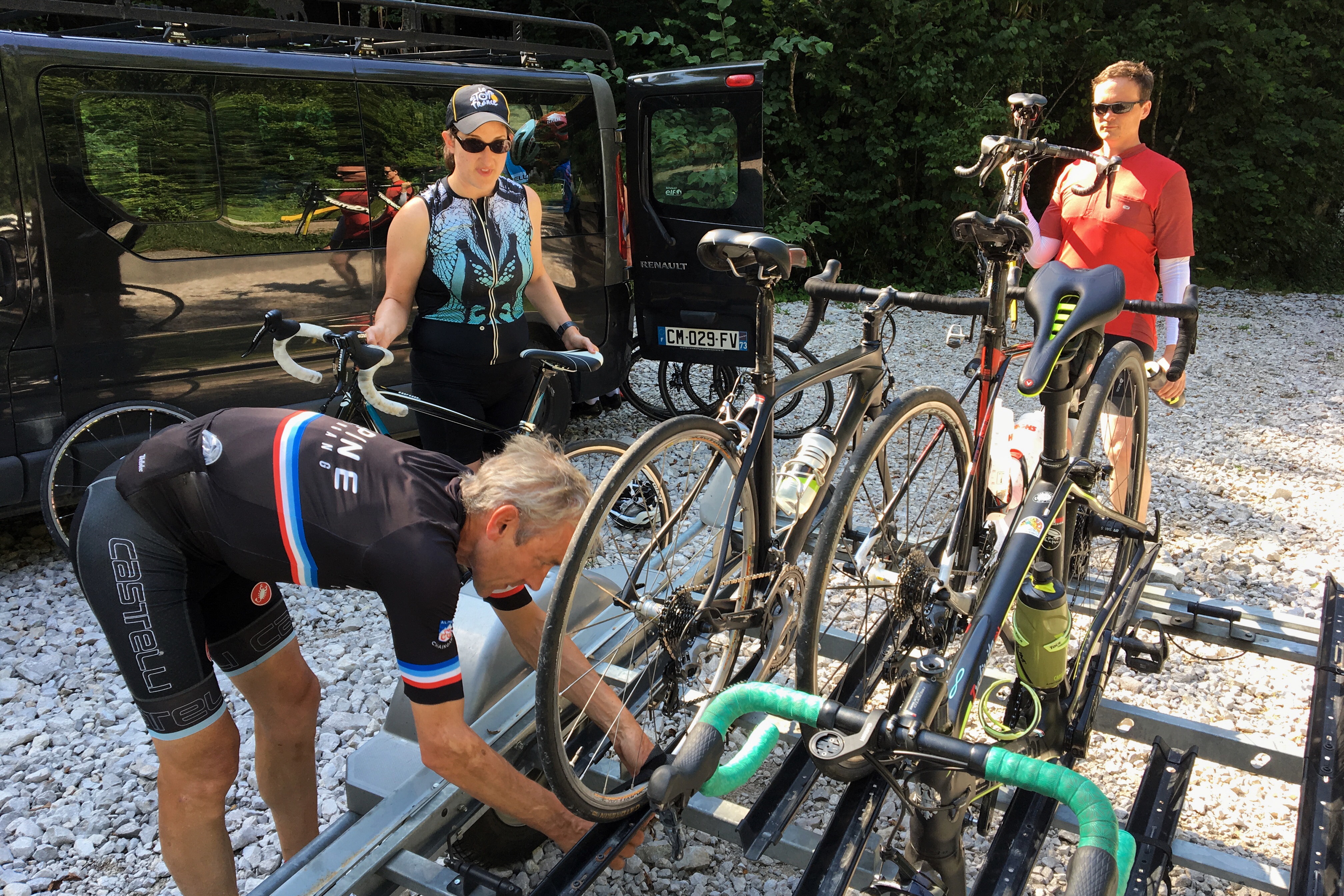
The varsity team was a man down today, as Phil and Eileen visited some local friends for lunch. That left Paul, Jason, Martha and Dave, all of whom started from the Chalet driveway and biked down from Courchevel through Moutiers to reach the base of the climb. Matt is getting pretty good at this — but he’s not that crazy — so he hitched a ride in the support van and started his ride near the base of the climb.

Great weather, once again

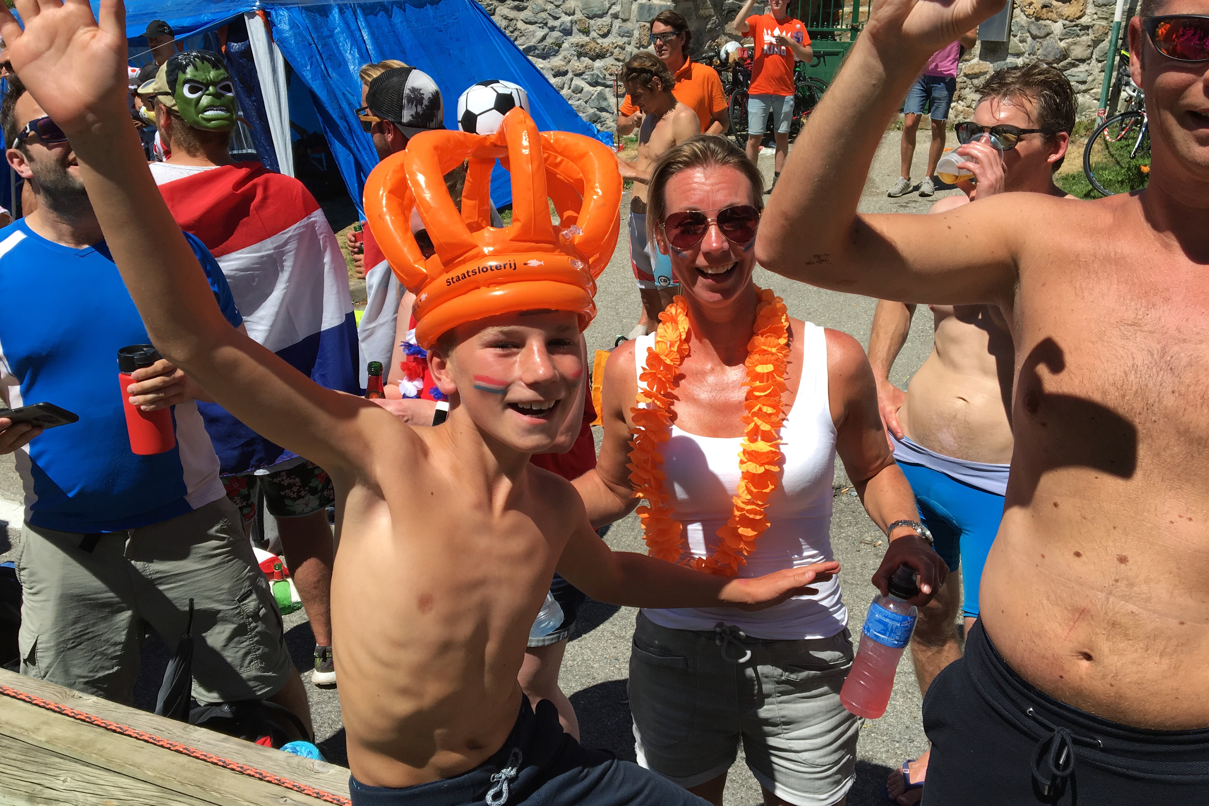
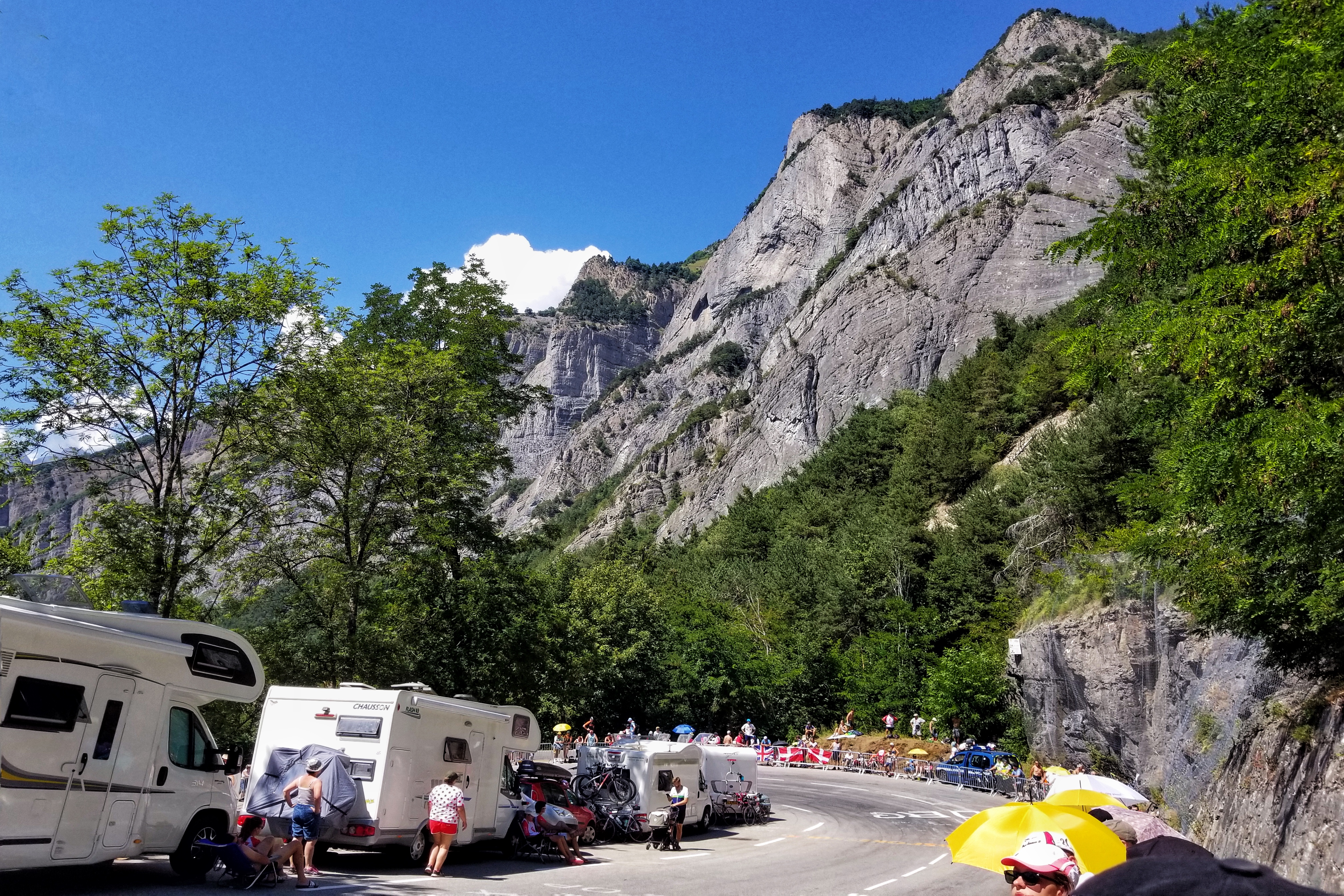
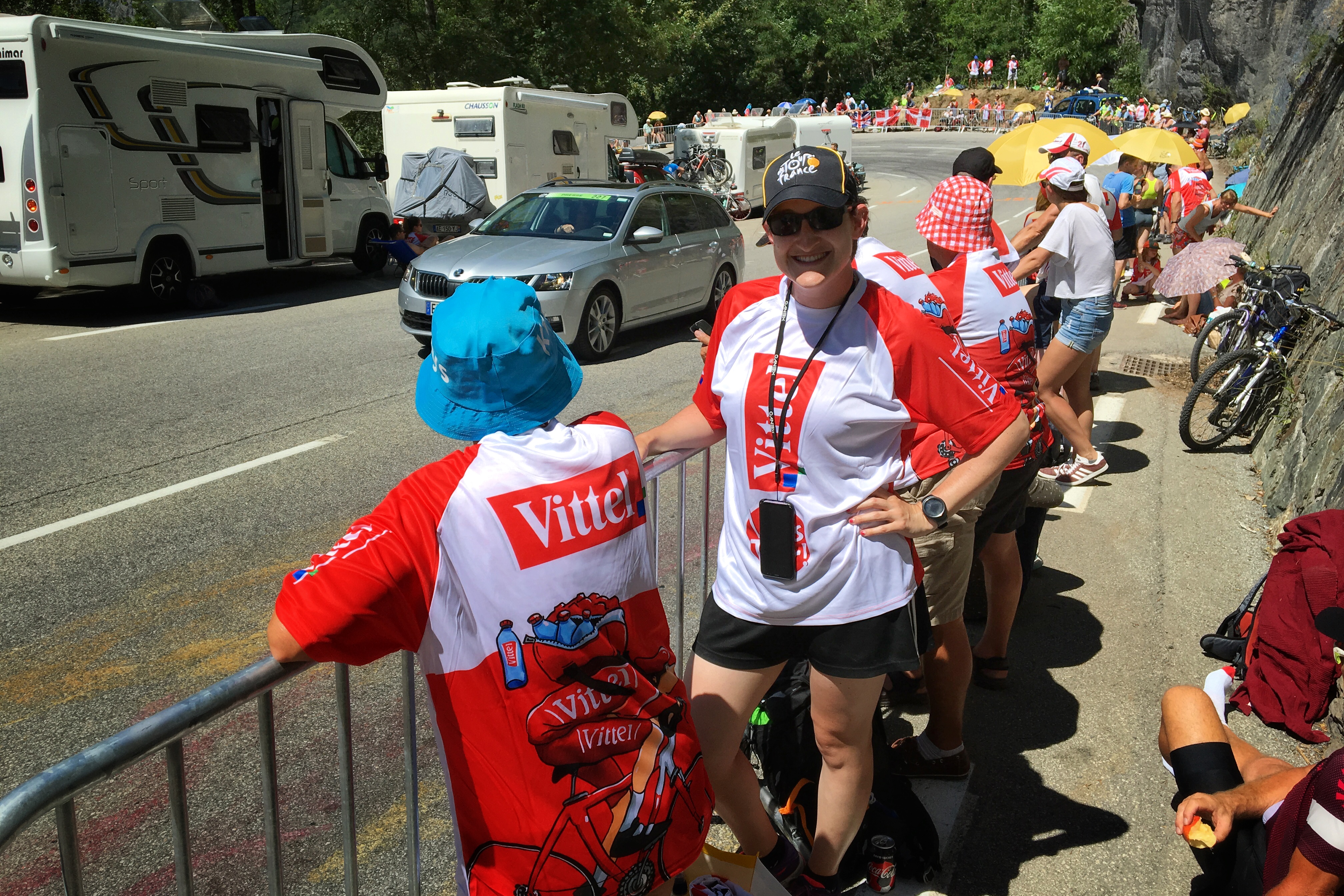
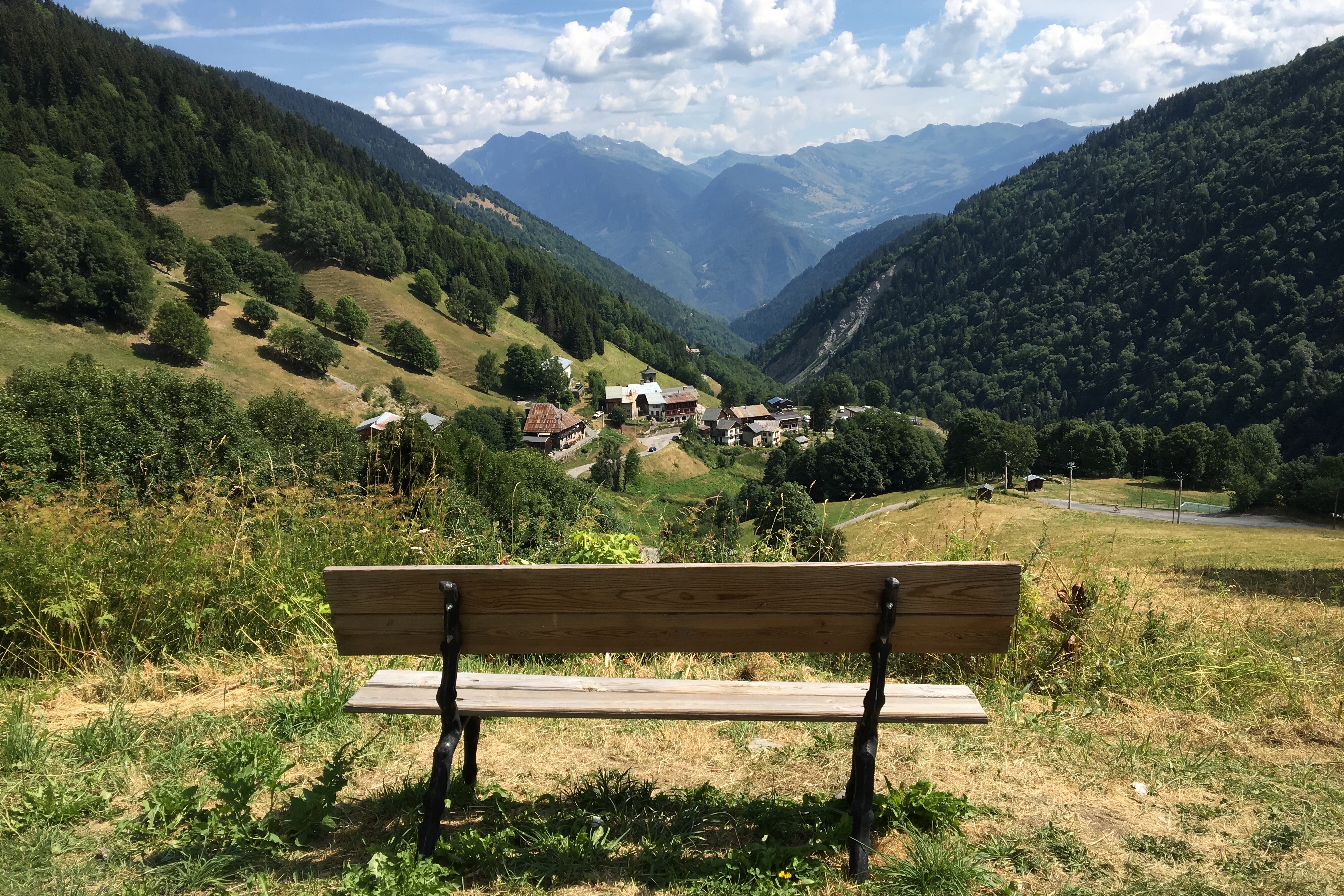
For all you blog/waterfall fans
Meanwhile, I joined Ben (Dave’s son filling in for Amy) in the support van and had a great time. Ben is an avid skier recovering from an ACL injury (which he incurred playing soccer, of all things), so my helpful duties included taking pictures and offering snacks/water to our riders.
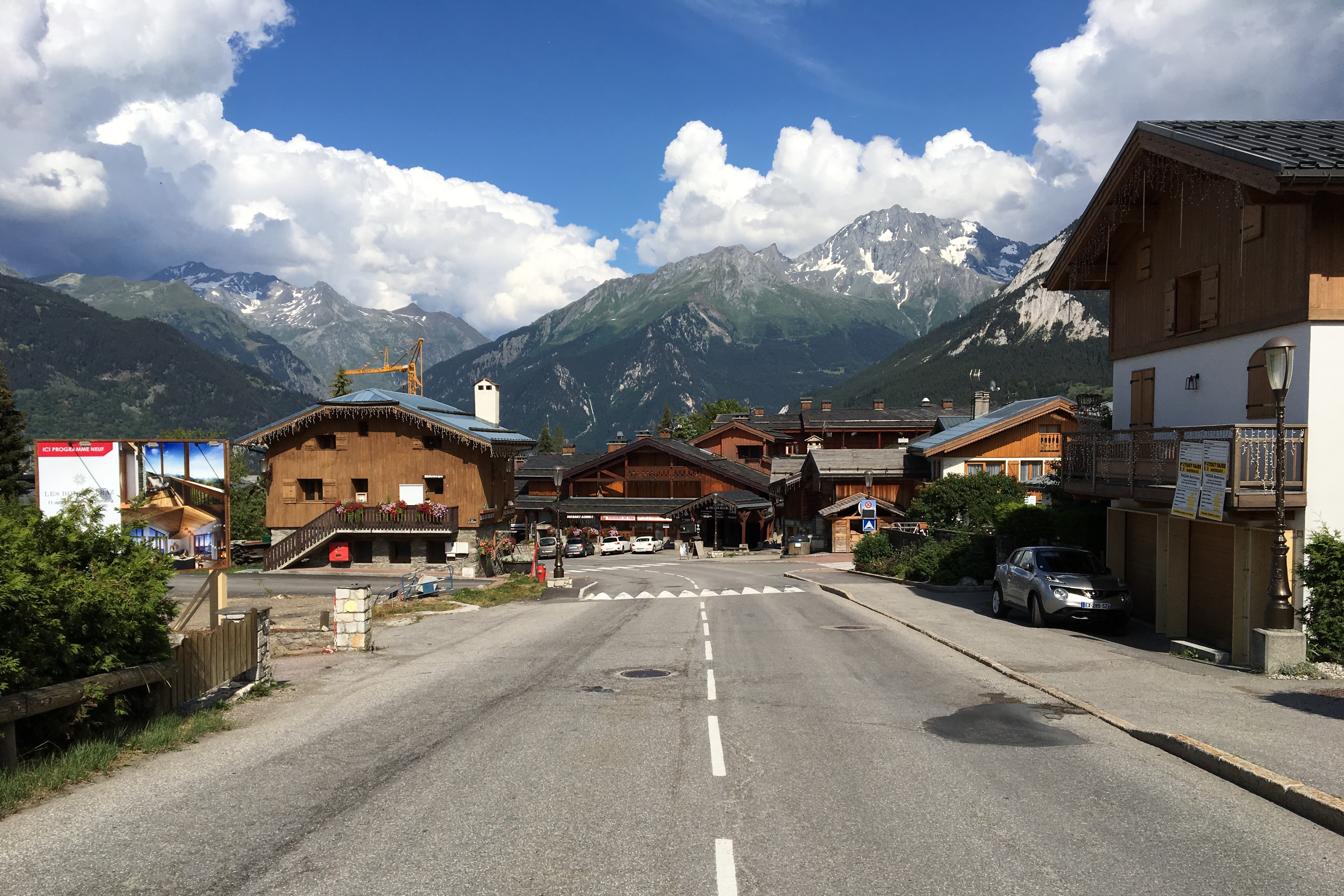
Traditional French Alps KwikTrip
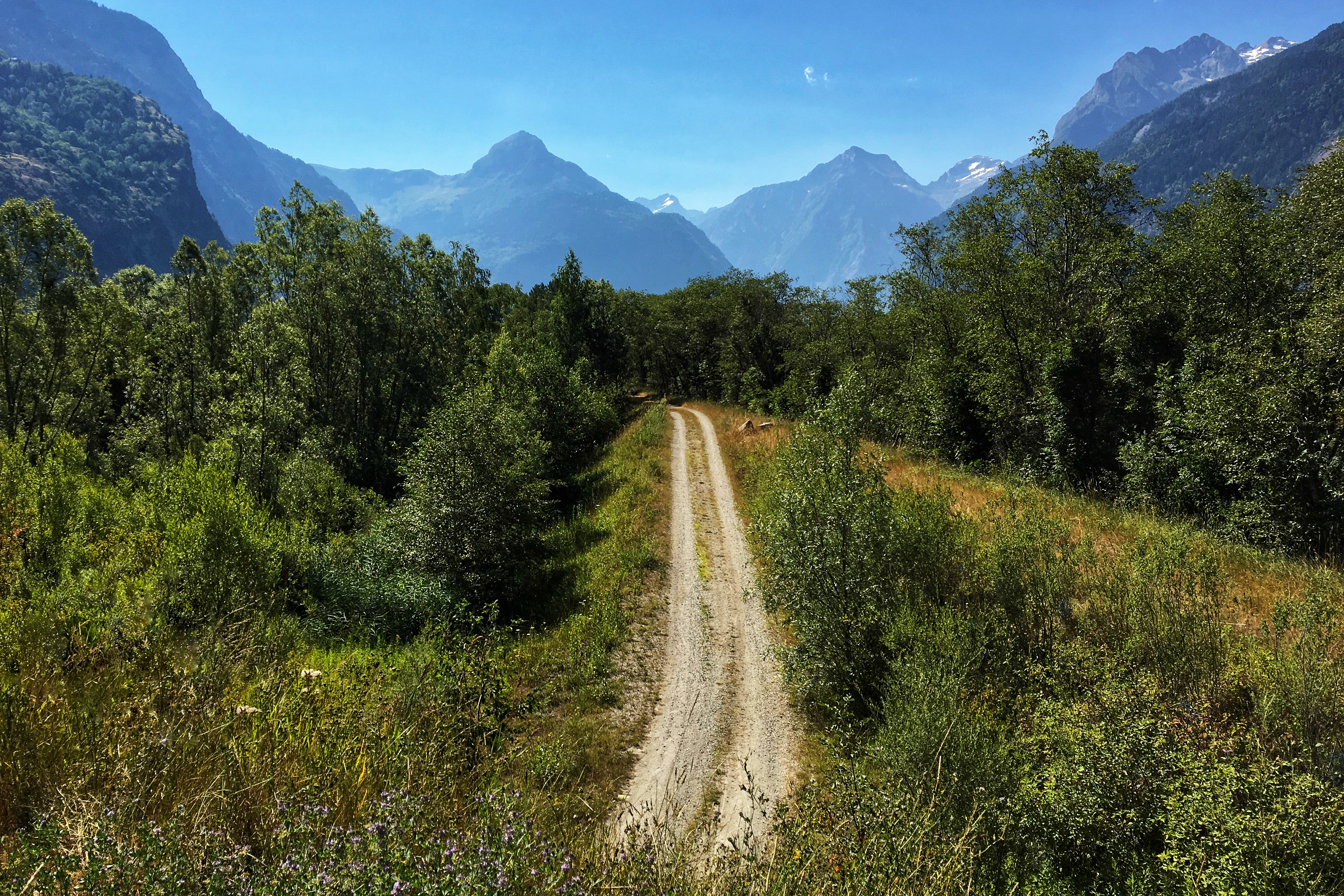
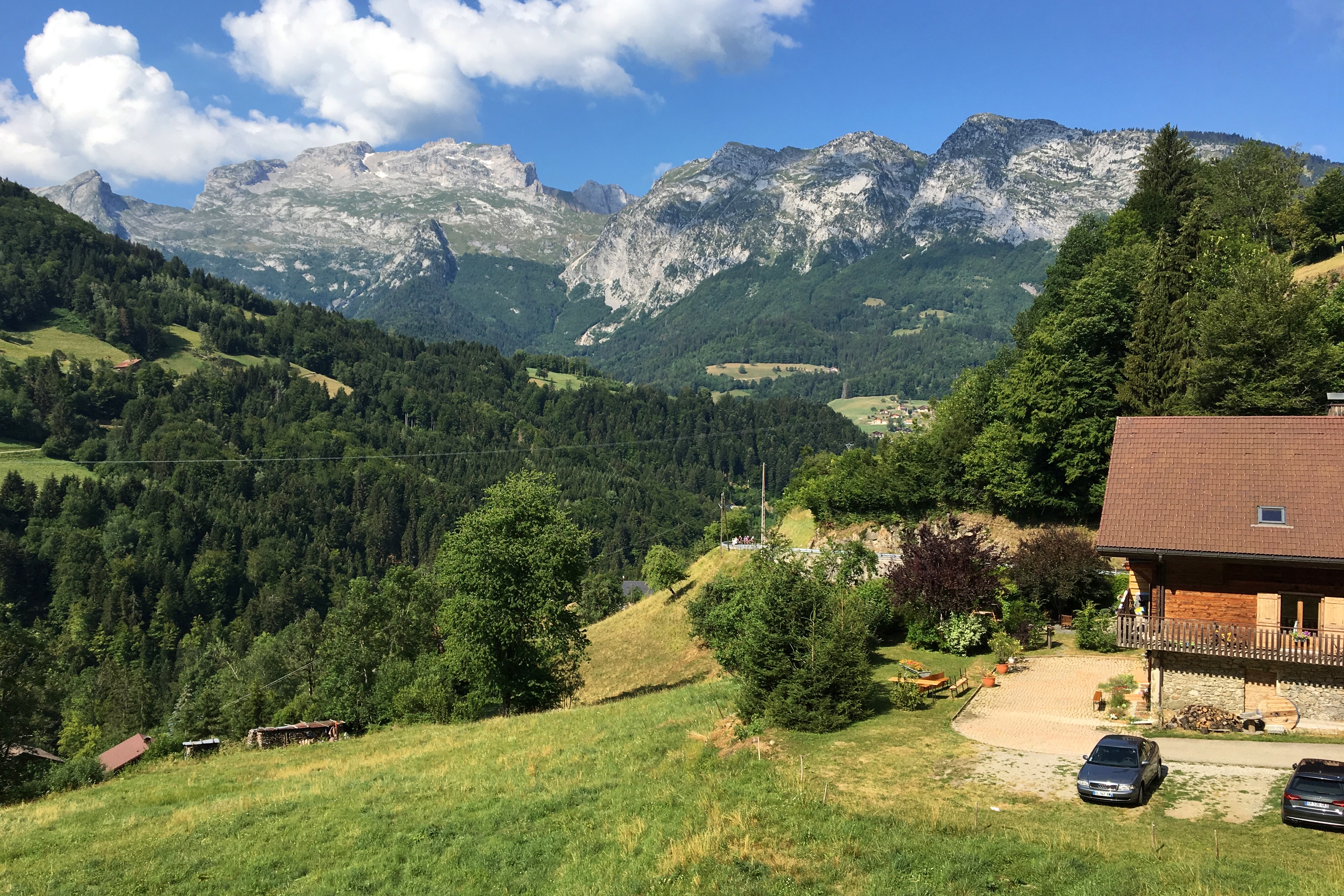
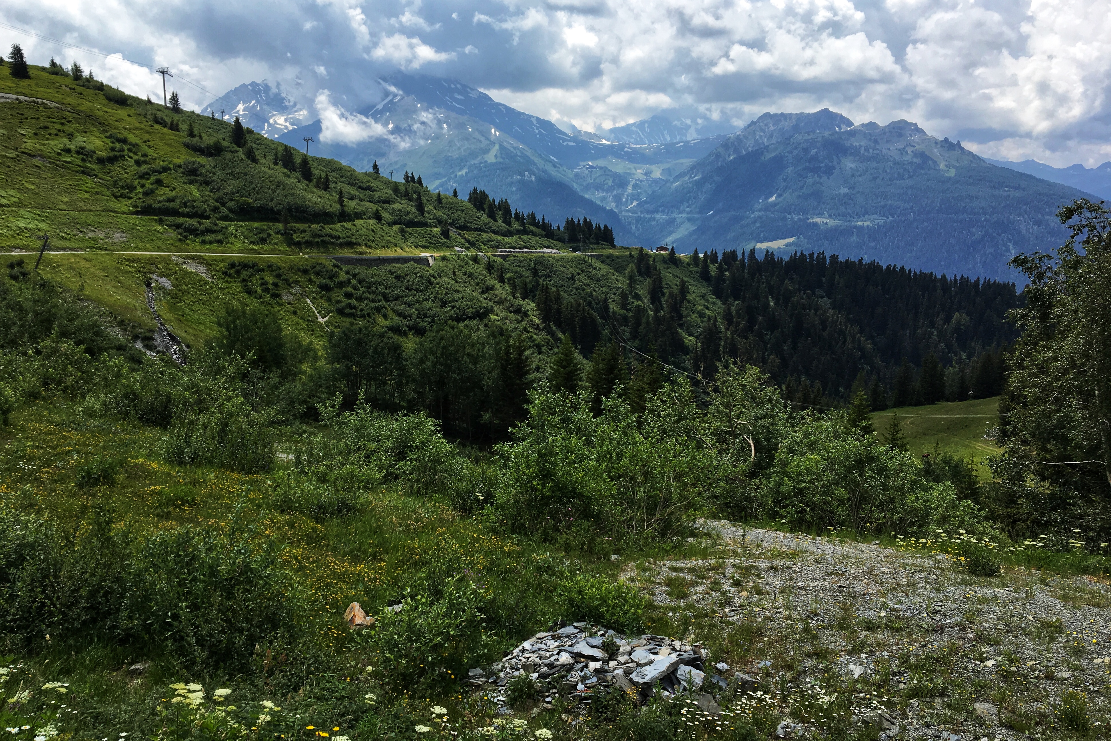
Scenery leveling up
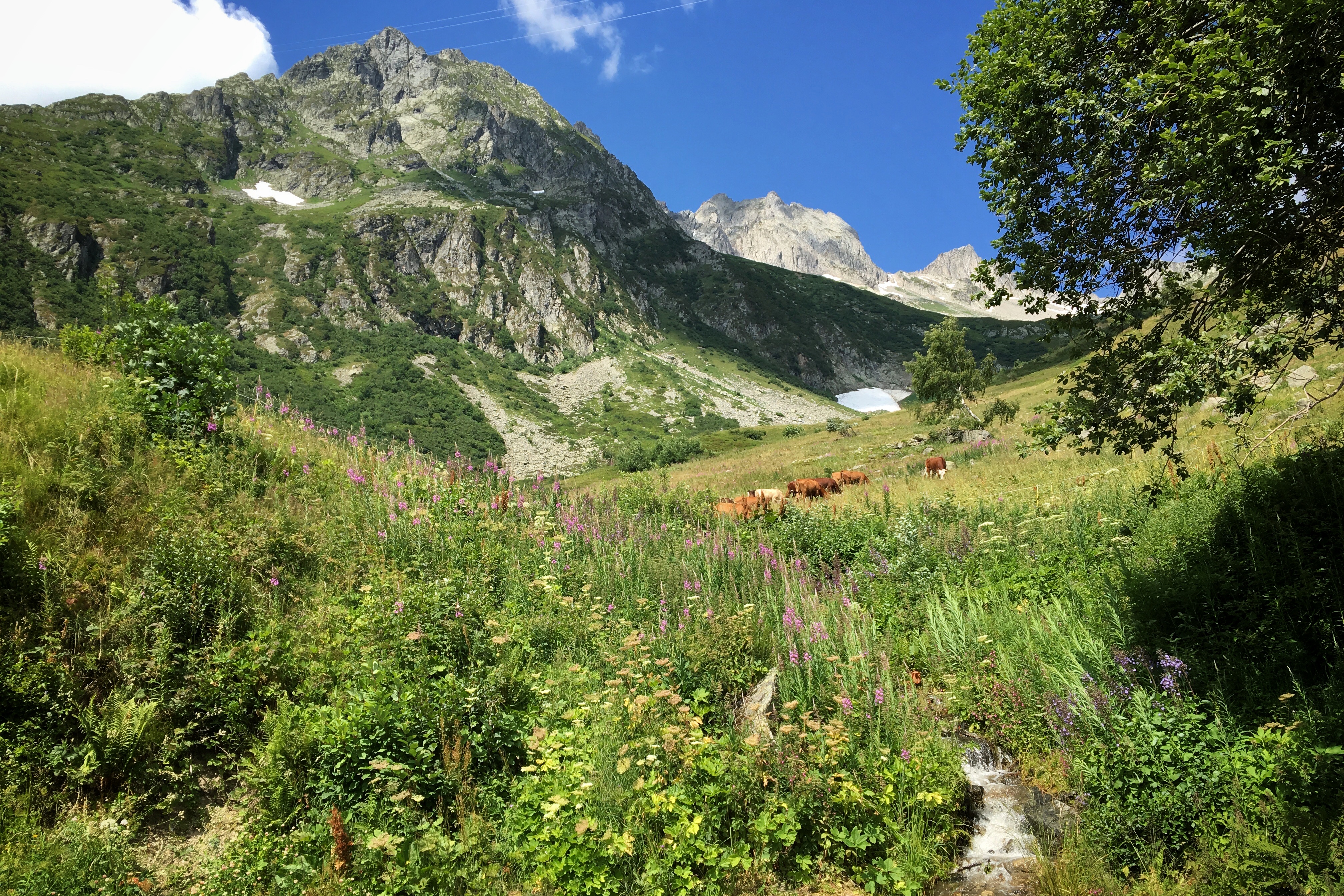
Scenery leveling up some more
The north approach of Col de la Madeleine is considered an “HC” climb by the Tour mainly due to its 26 kilometer (16 mile) length. The gradient averages 7%, but there are several 9-10% sections to make it a challenge. There is roughly a 1500 meter elevation gain along the way, topping out at 2000 meters.
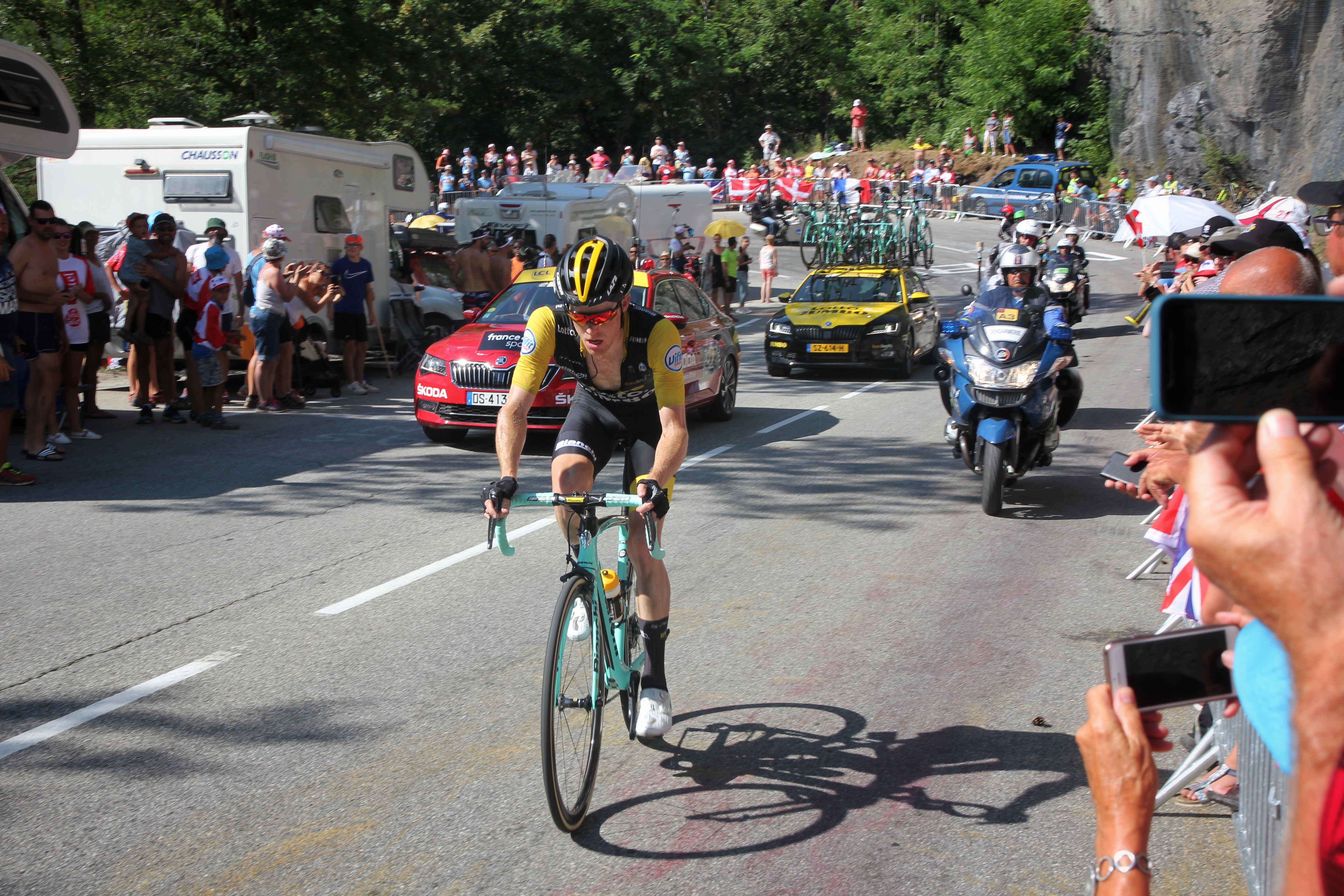
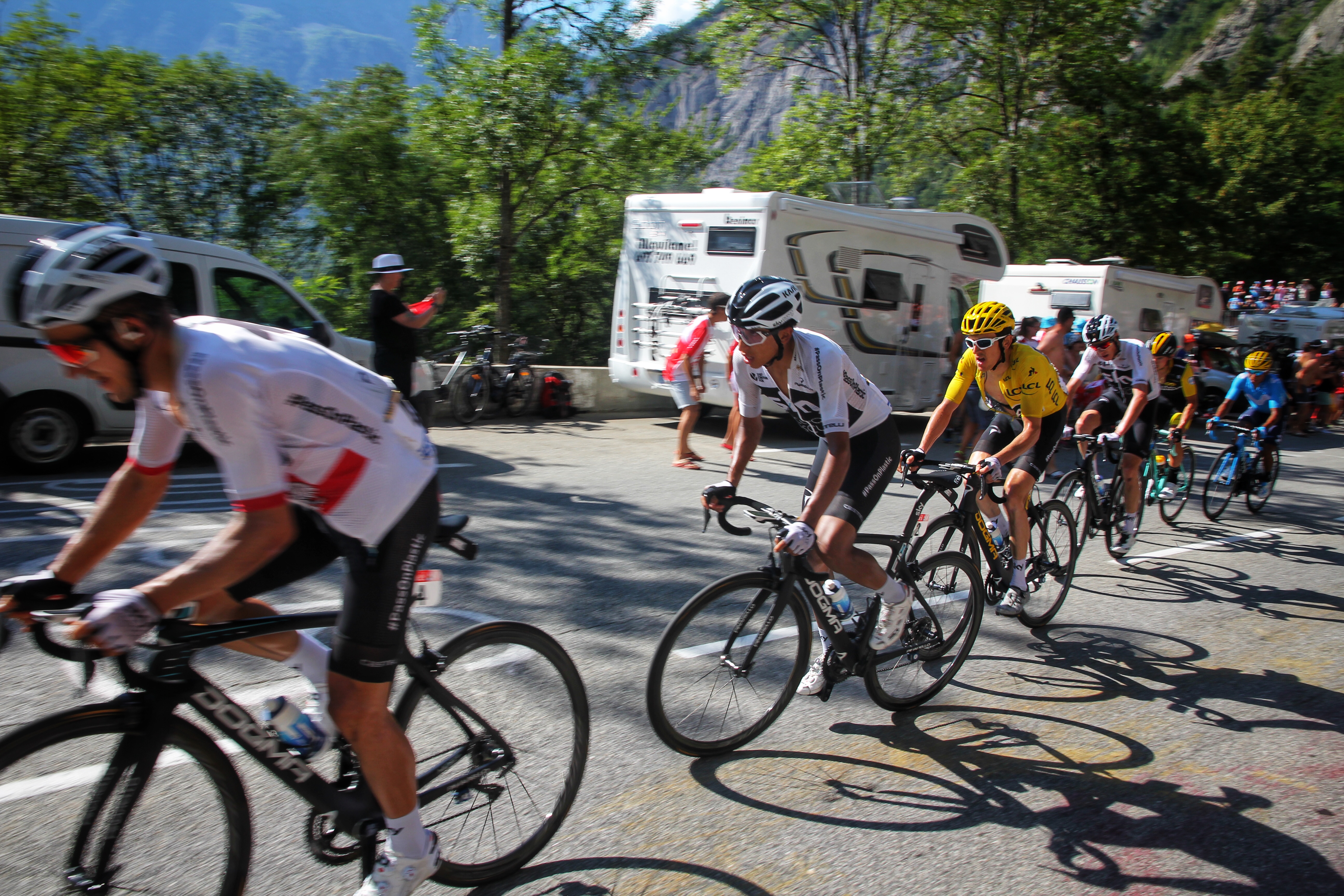
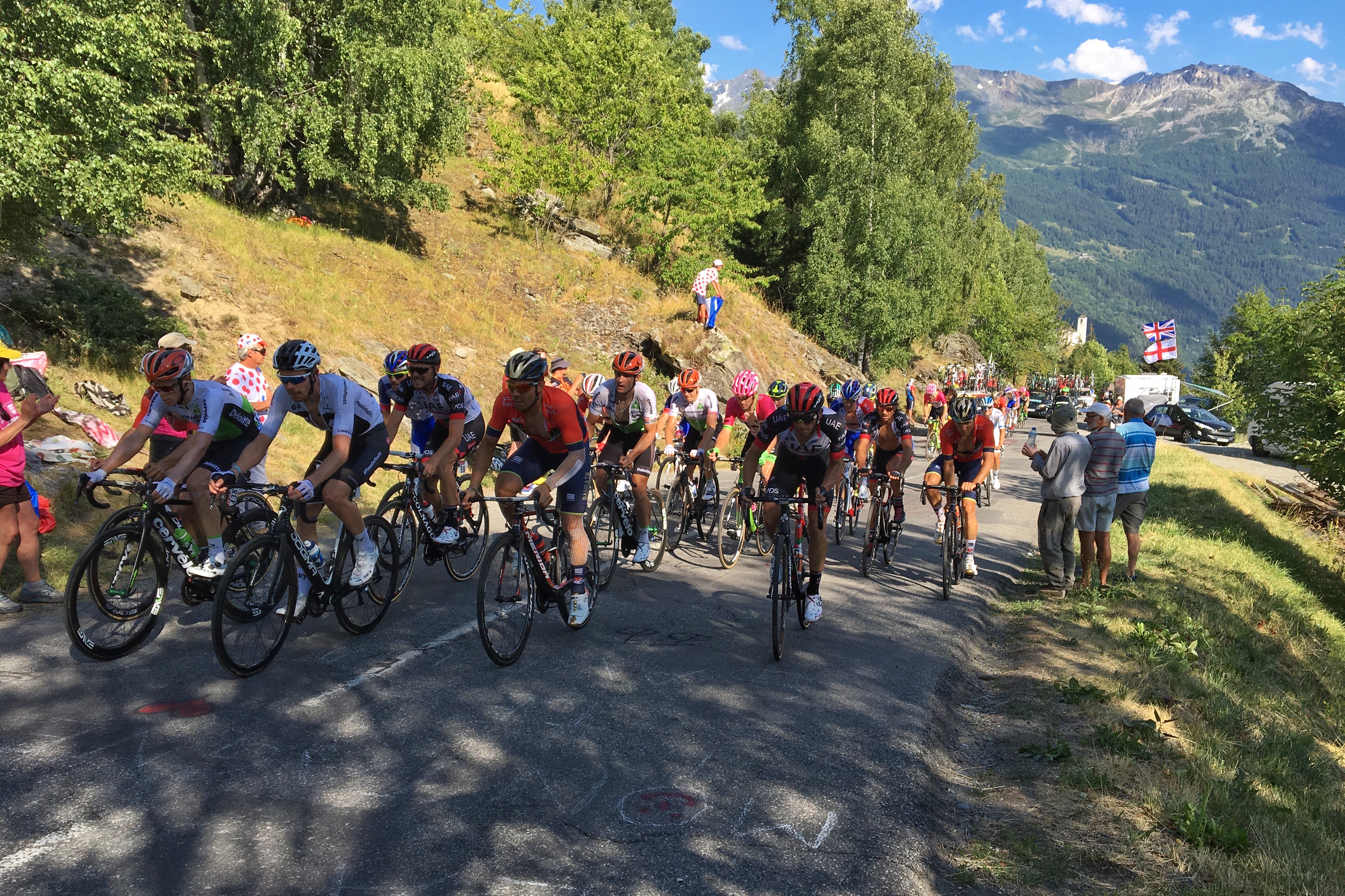
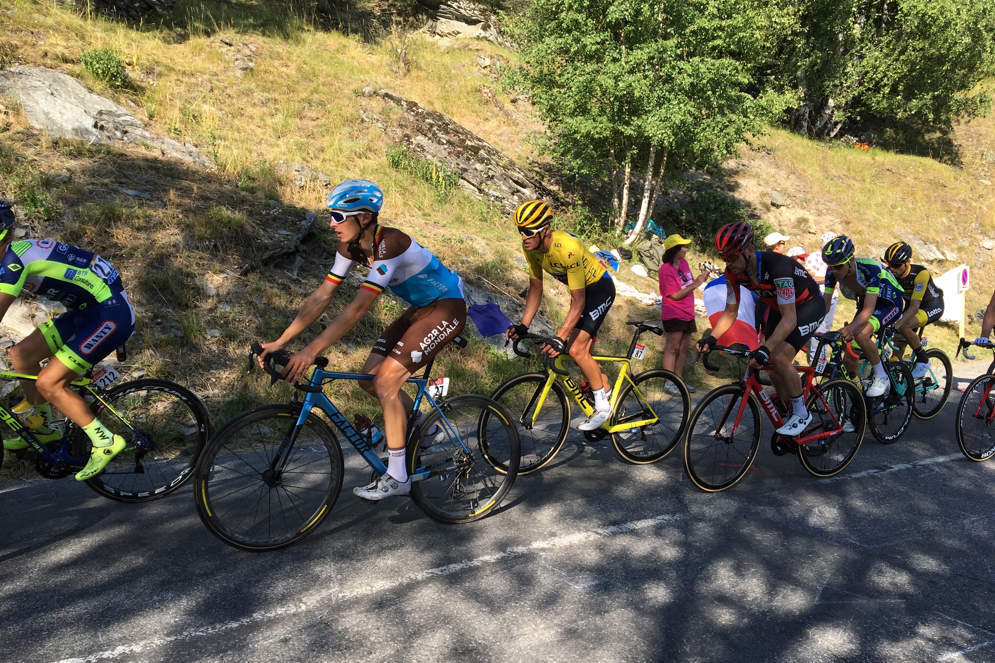
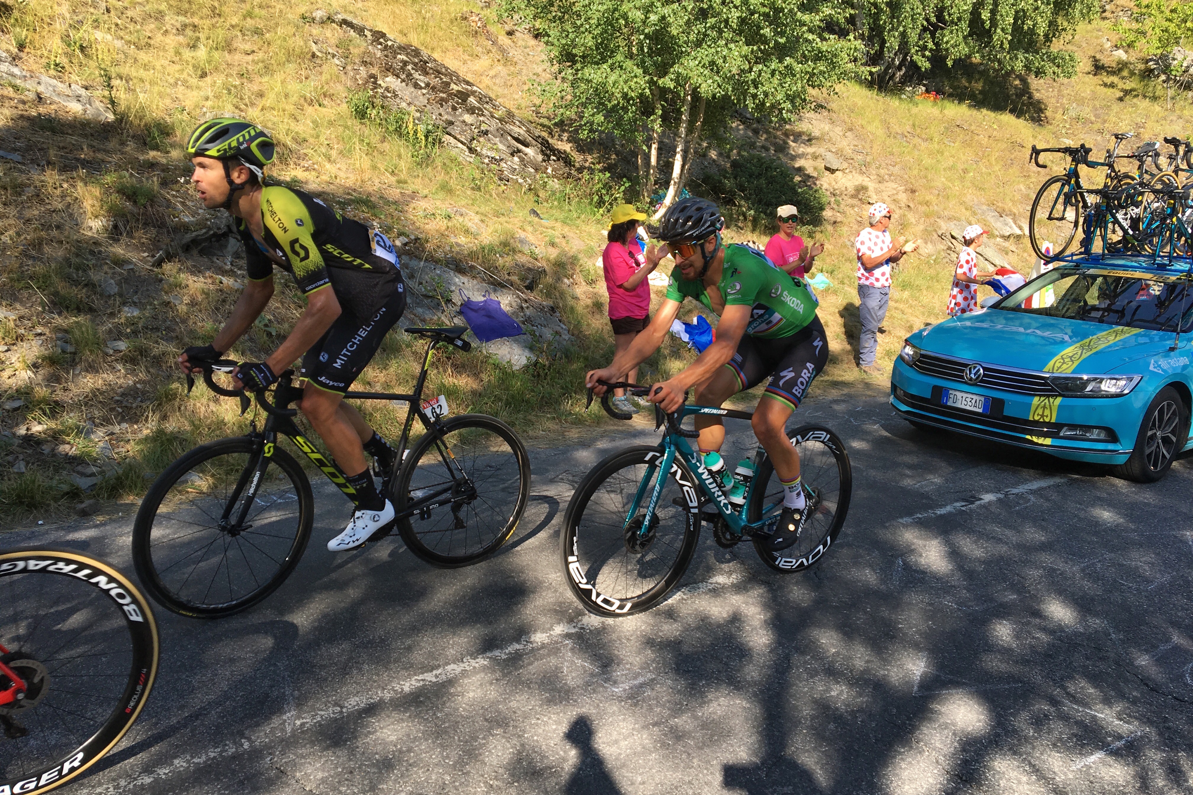
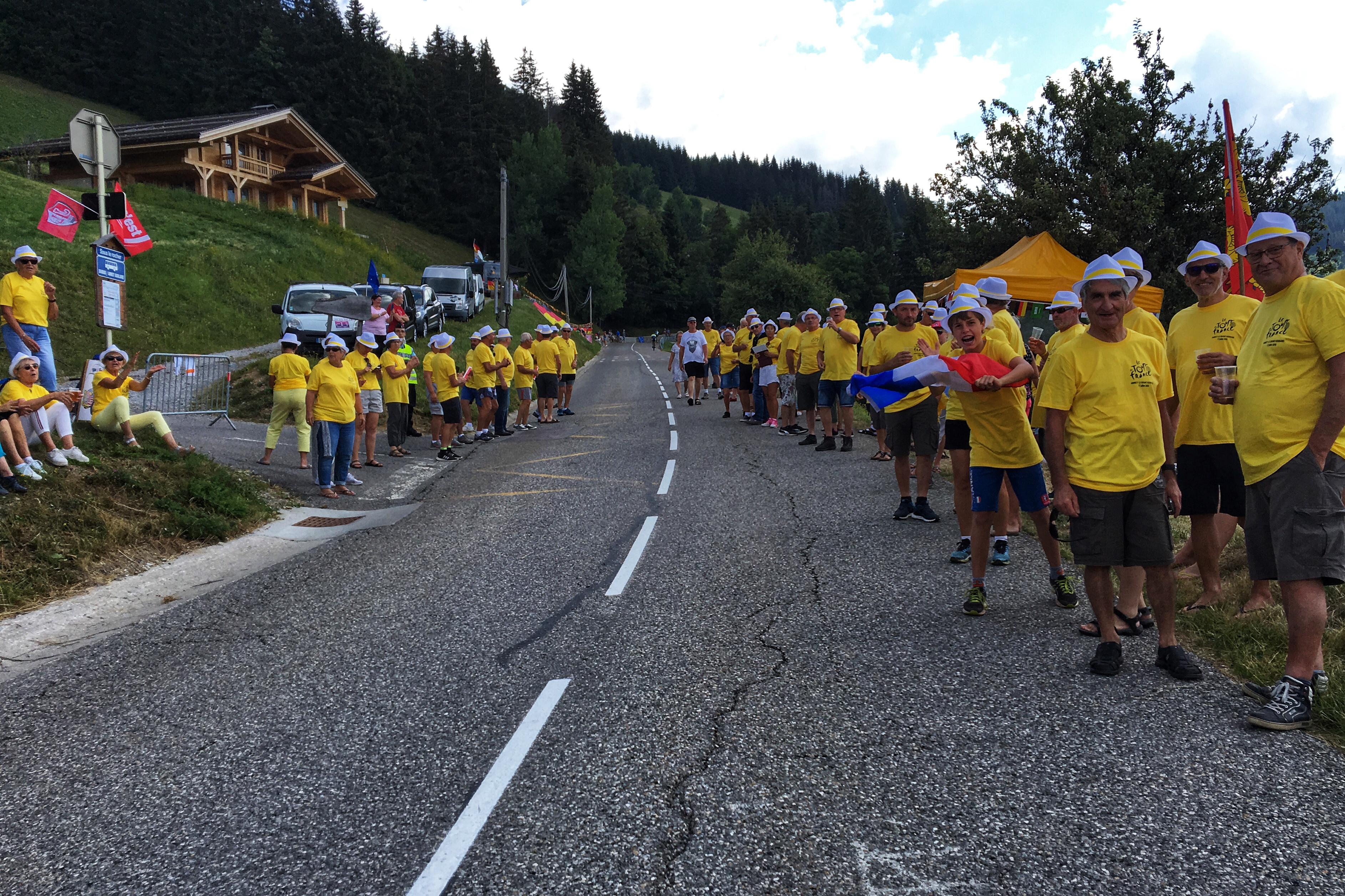
Turns out the French street and sanitation crews do a pretty good job of cleaning up after the Tour. The only remnants from yesterday’s race were chalk/paint messages on the road. Only one or two unclaimed sponsor caravan freebies were seen lying on the embankments.

Paparazzi getting shots of Matt on Col de la Madeleine
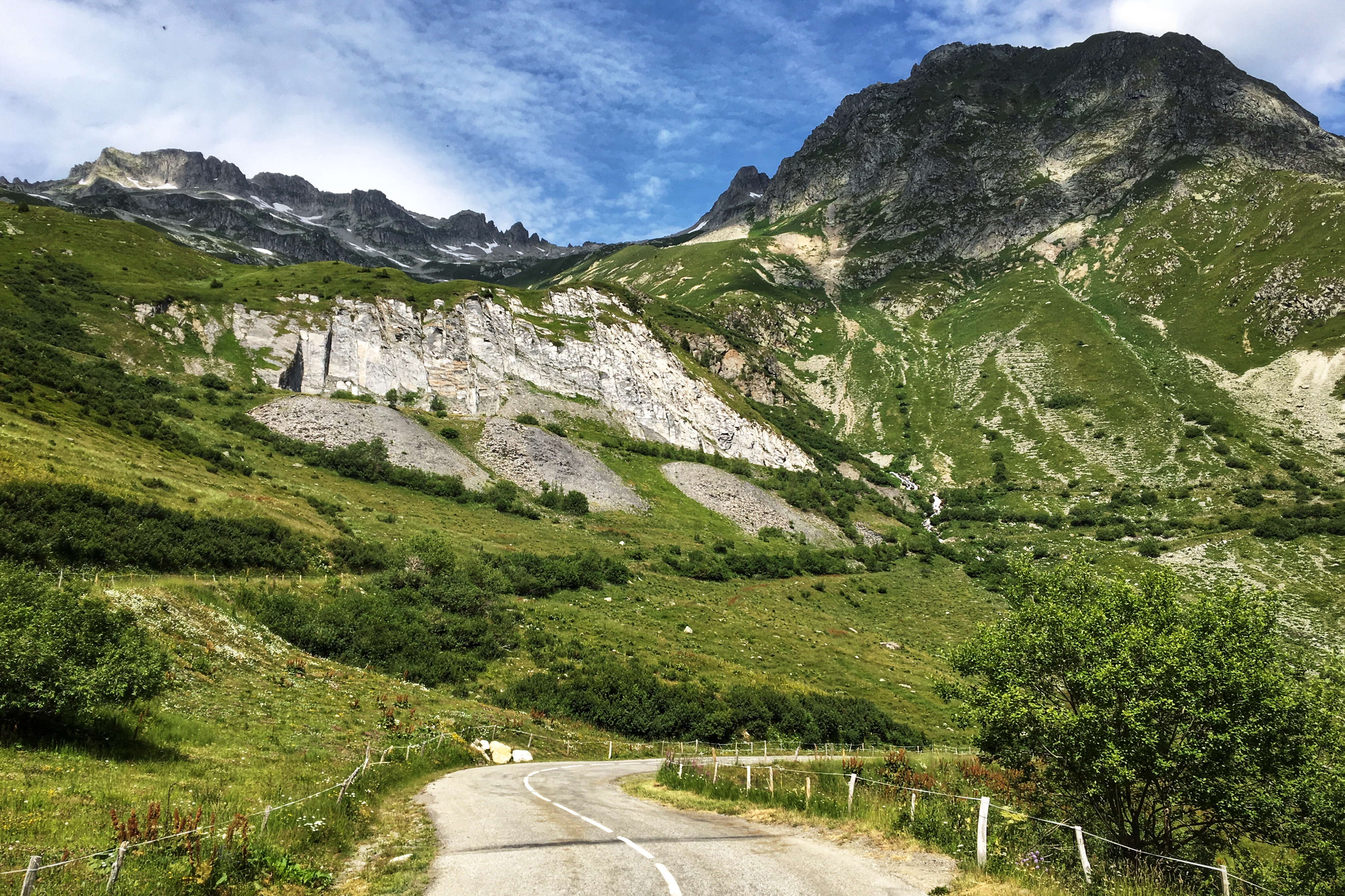
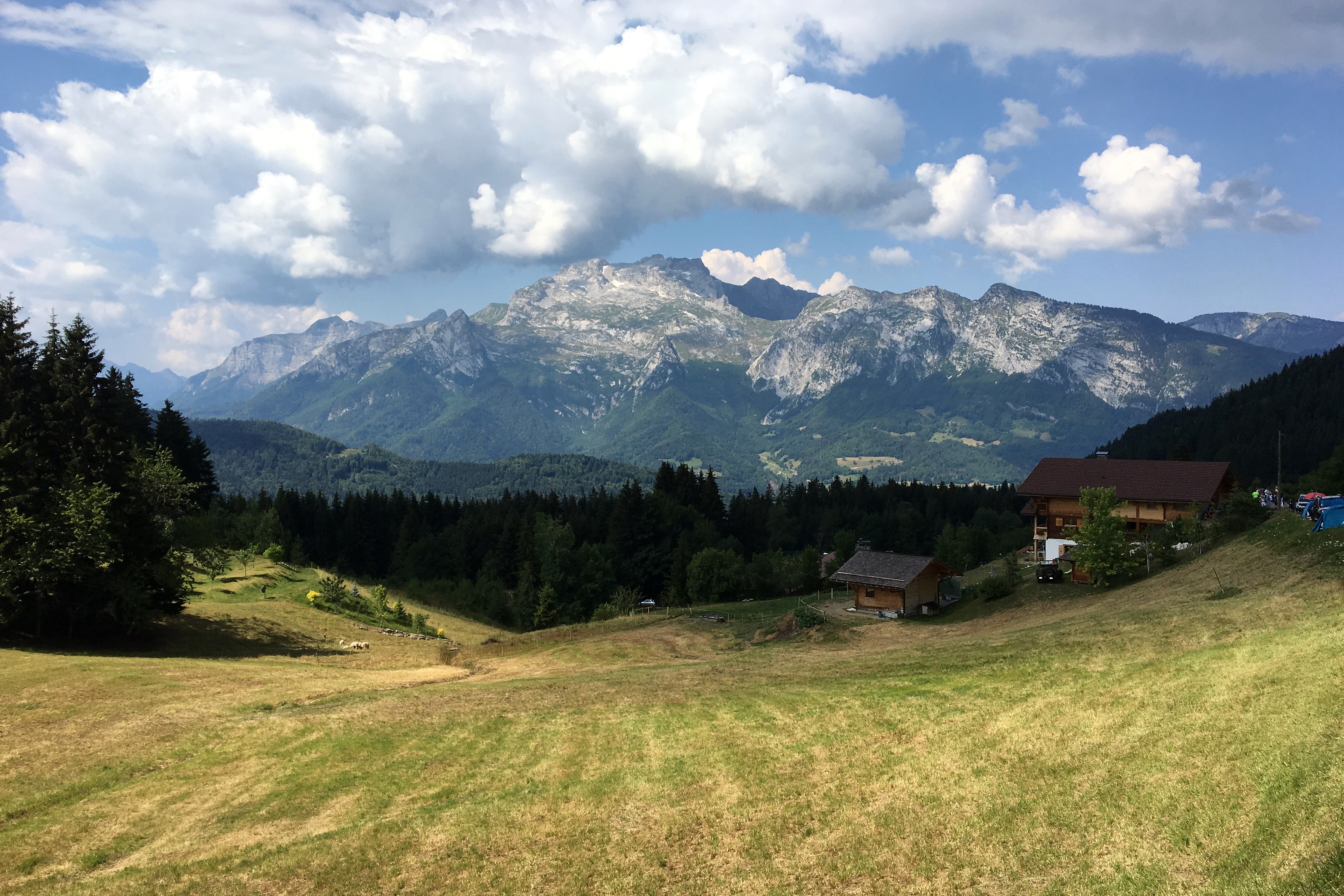
Scenery reaching critically scenic levels
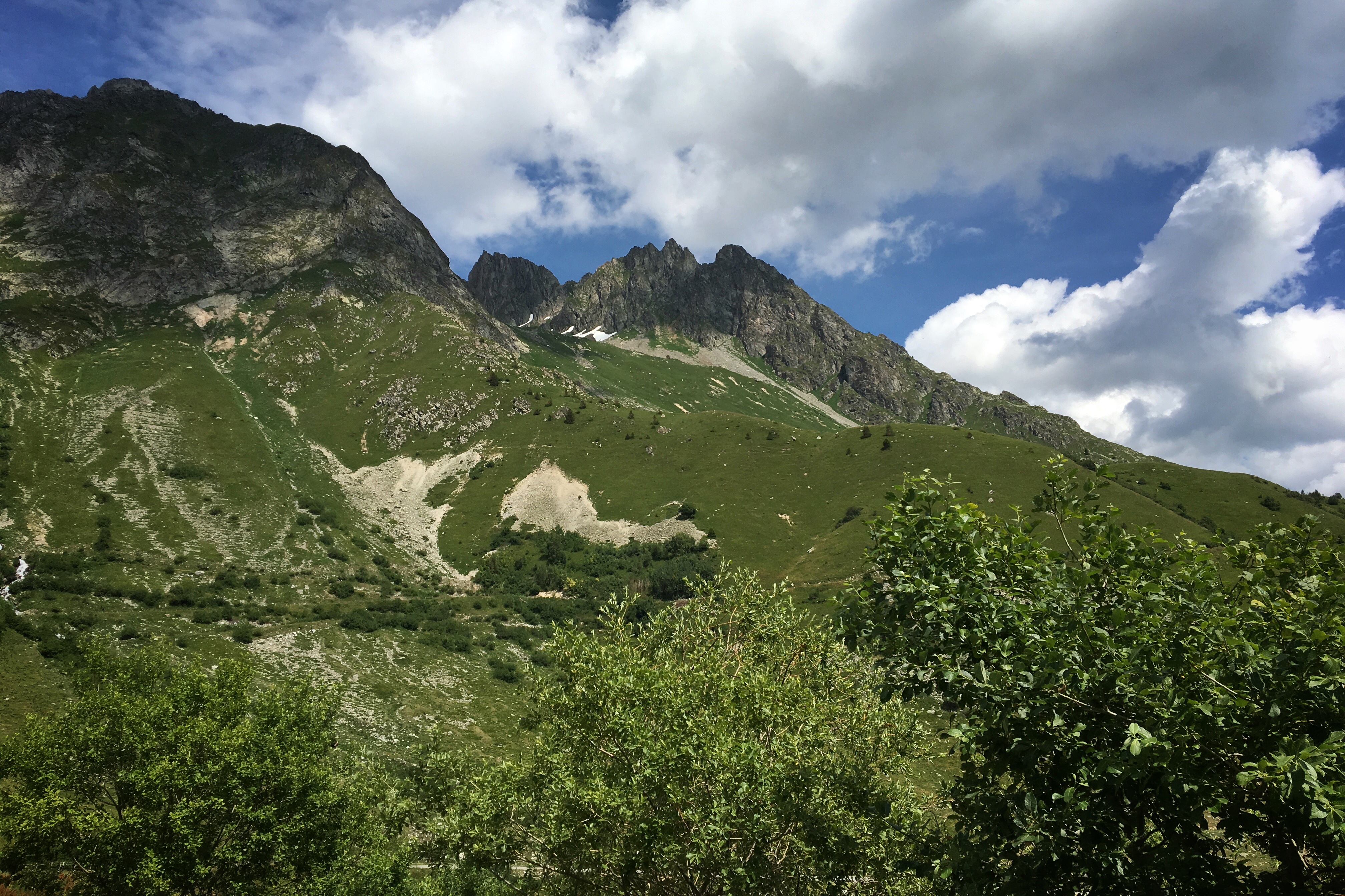
Scenery meter busted
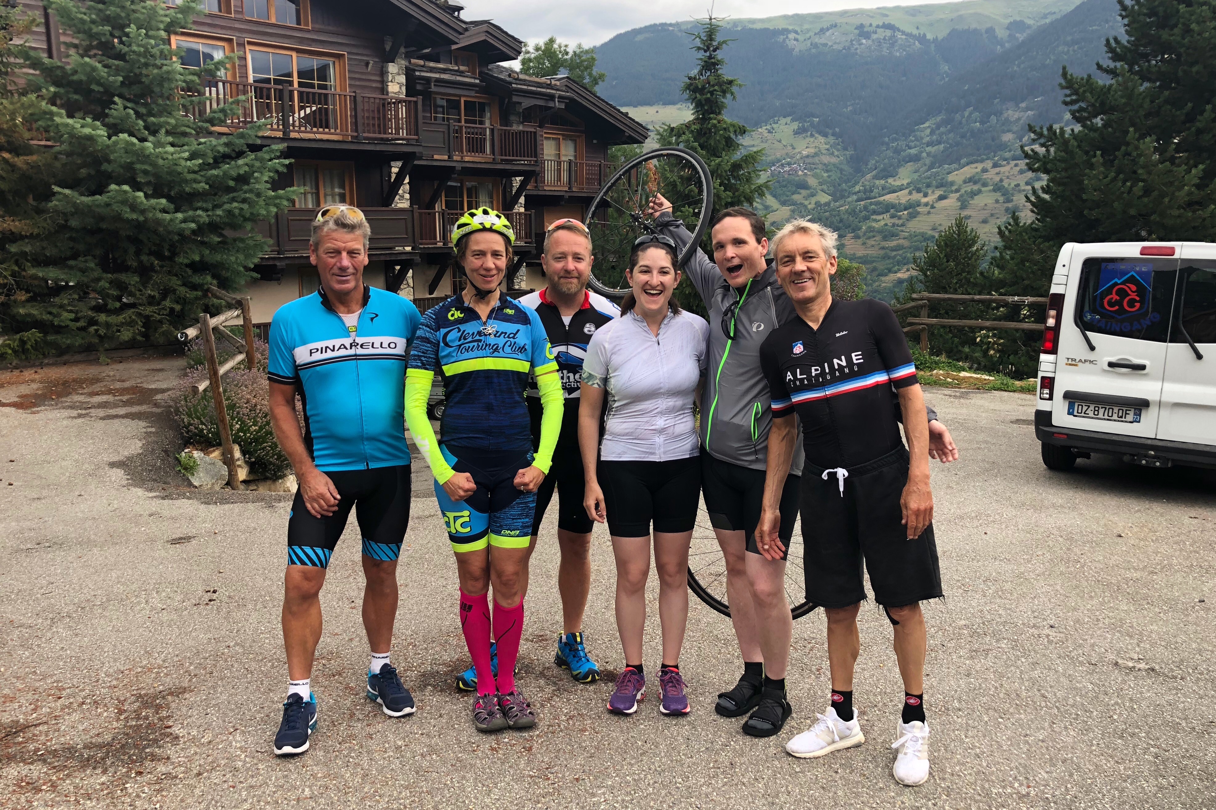
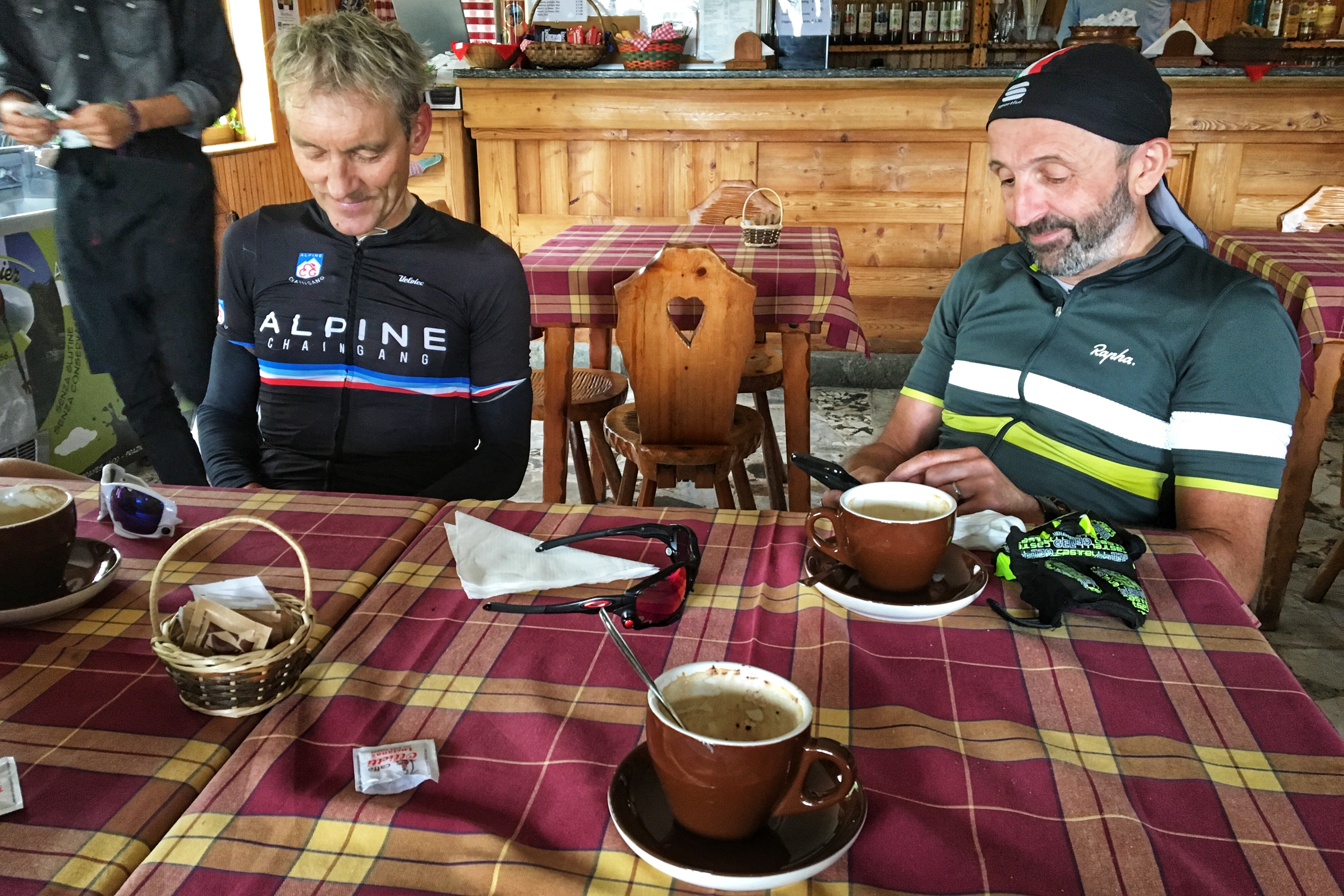
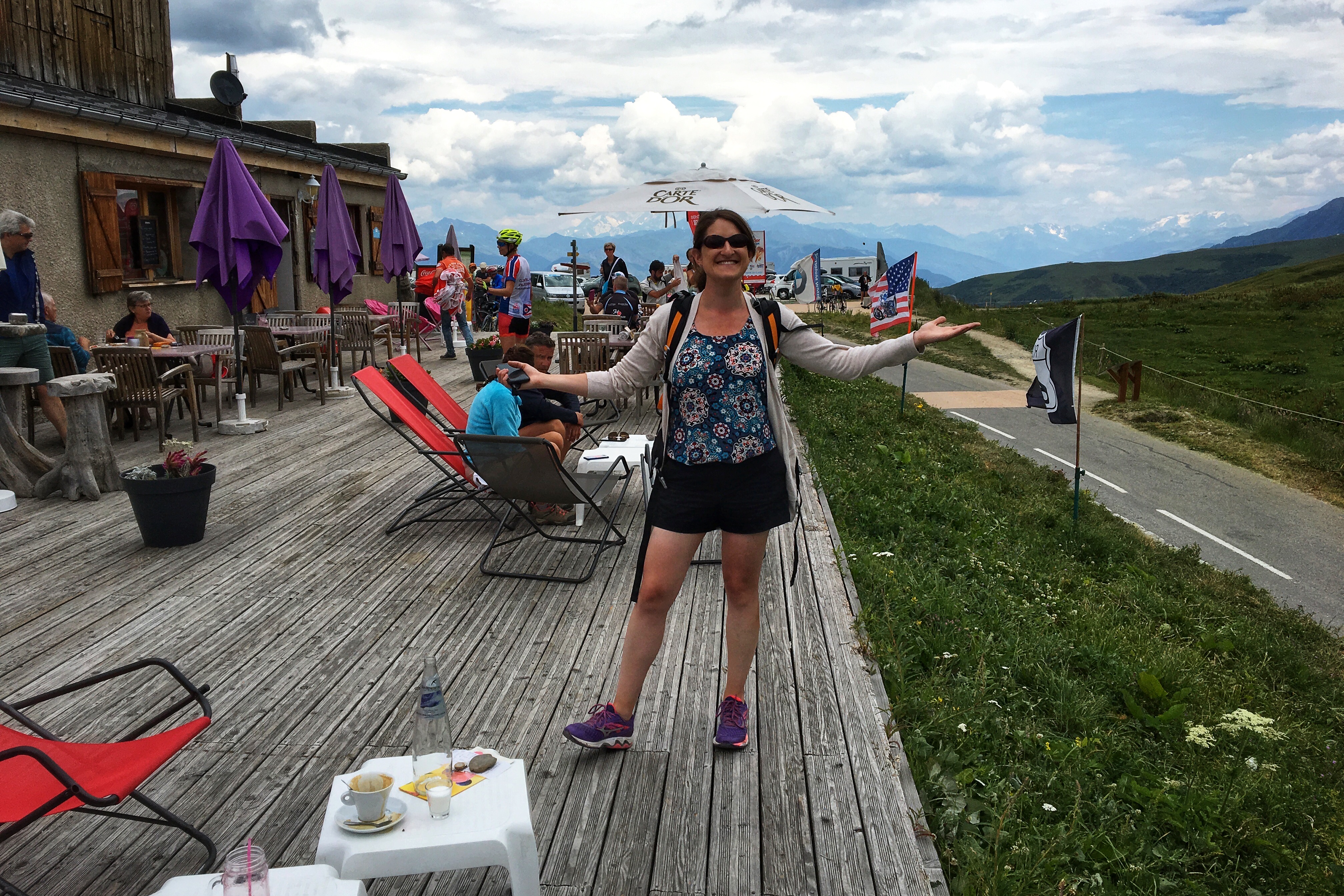
Matt reached the summit feeling good and we enjoyed a celebratory smoothie/espresso from a patio bistro while taking in the view. The weather on the other side of the Col looked a little bit threatening (but cool!), so we opted to eat lunch inside one of the friendly alpine restaurants at the summit.

2000 meters above the sea

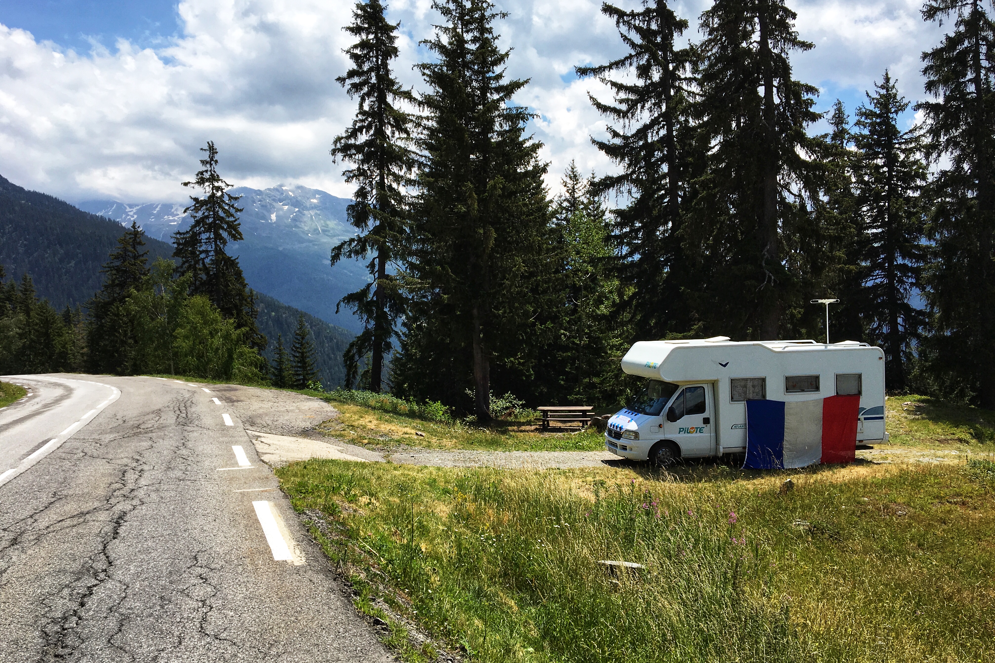
Dramatic-looking weather to the south
Alpine patio furniture
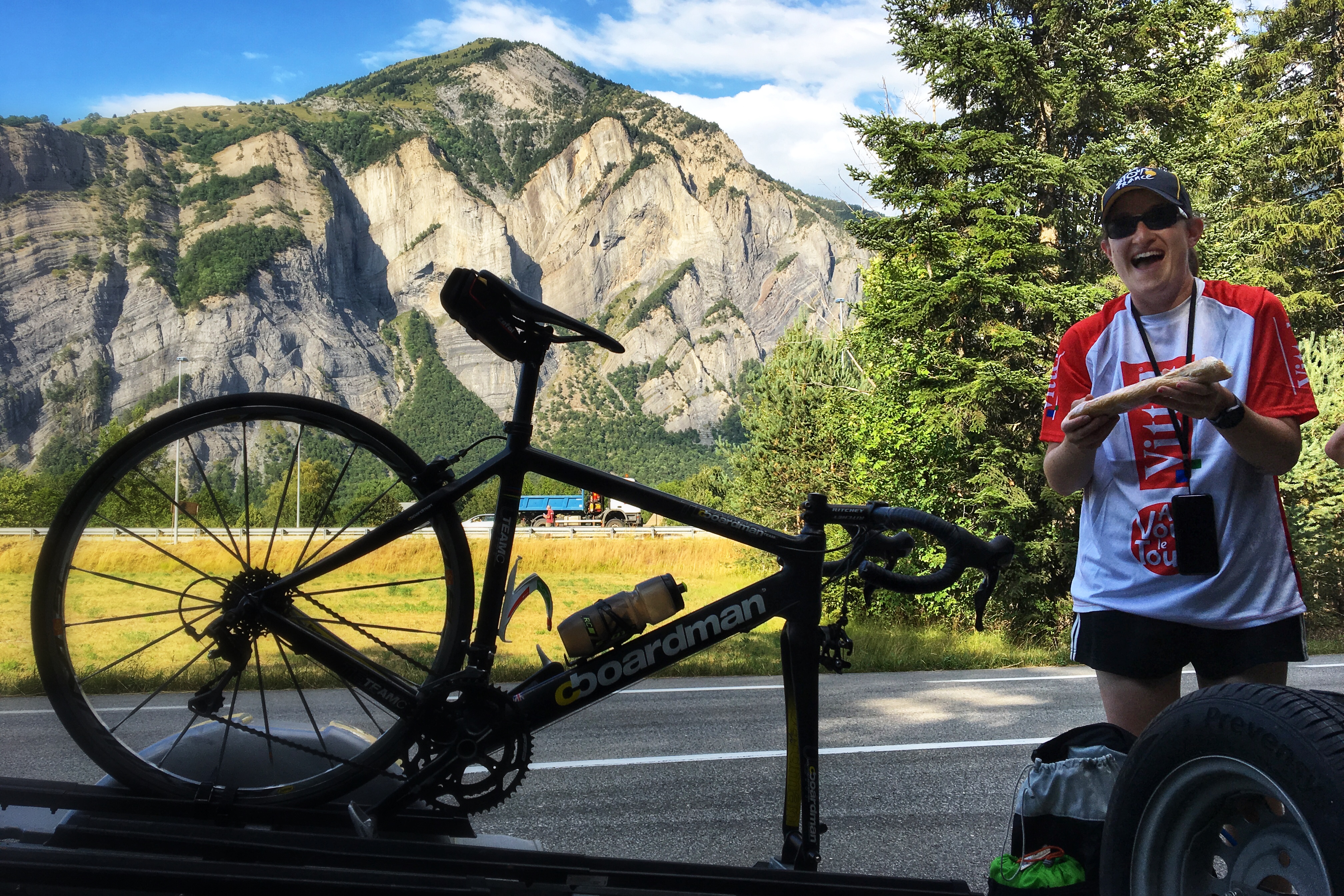
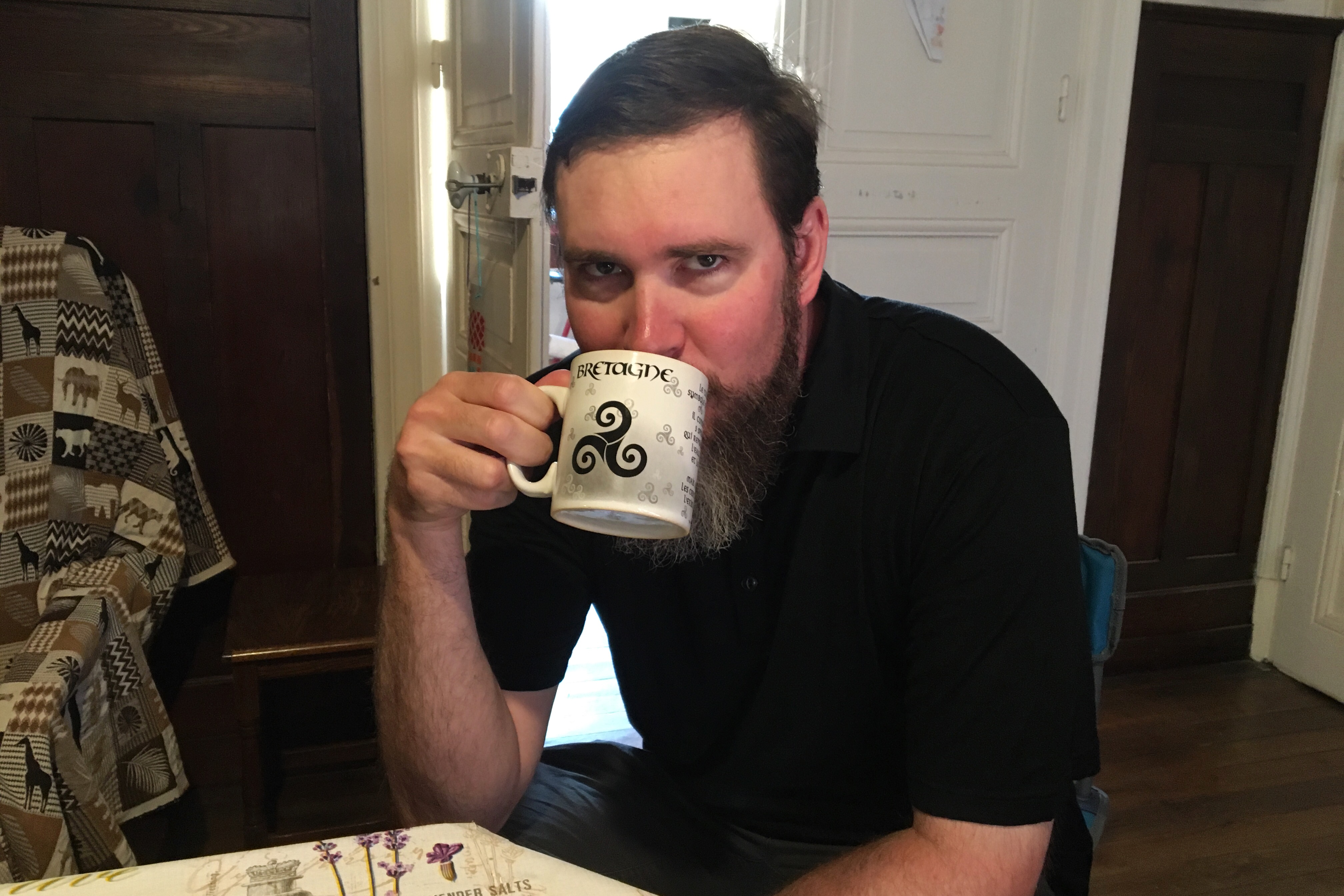
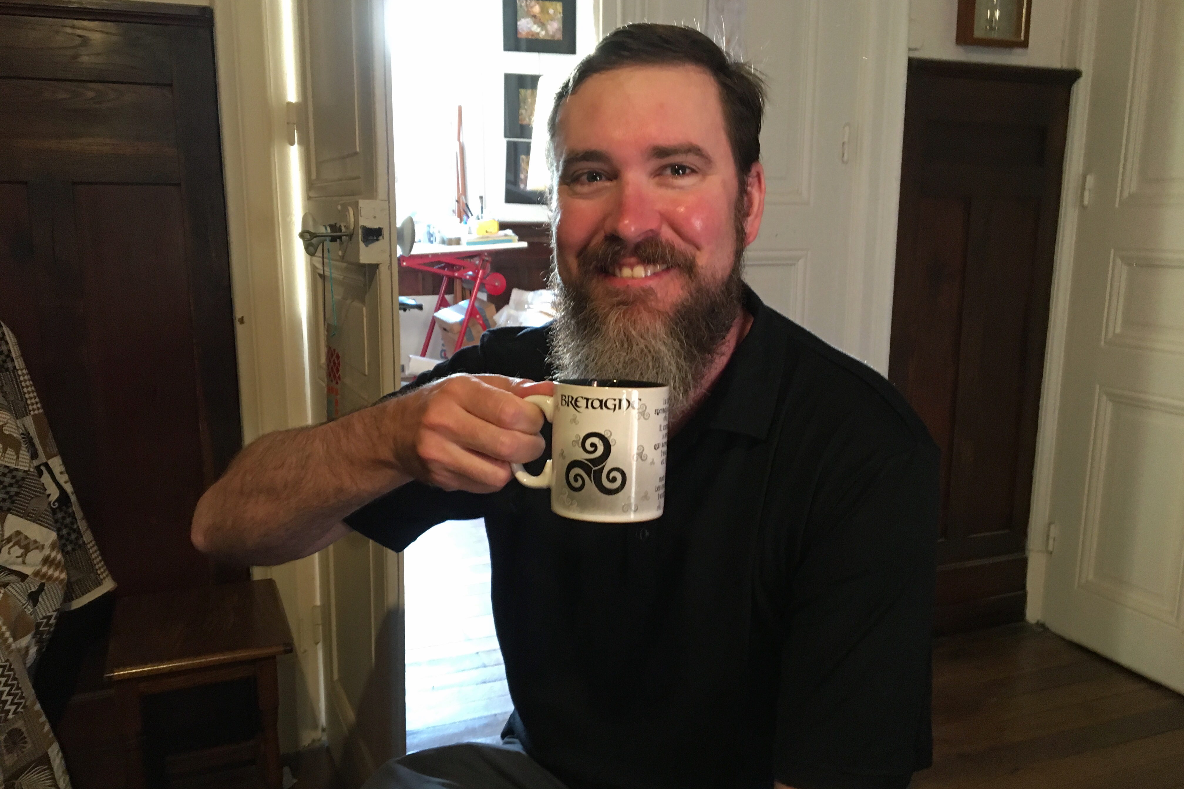
Best support van wing-woman
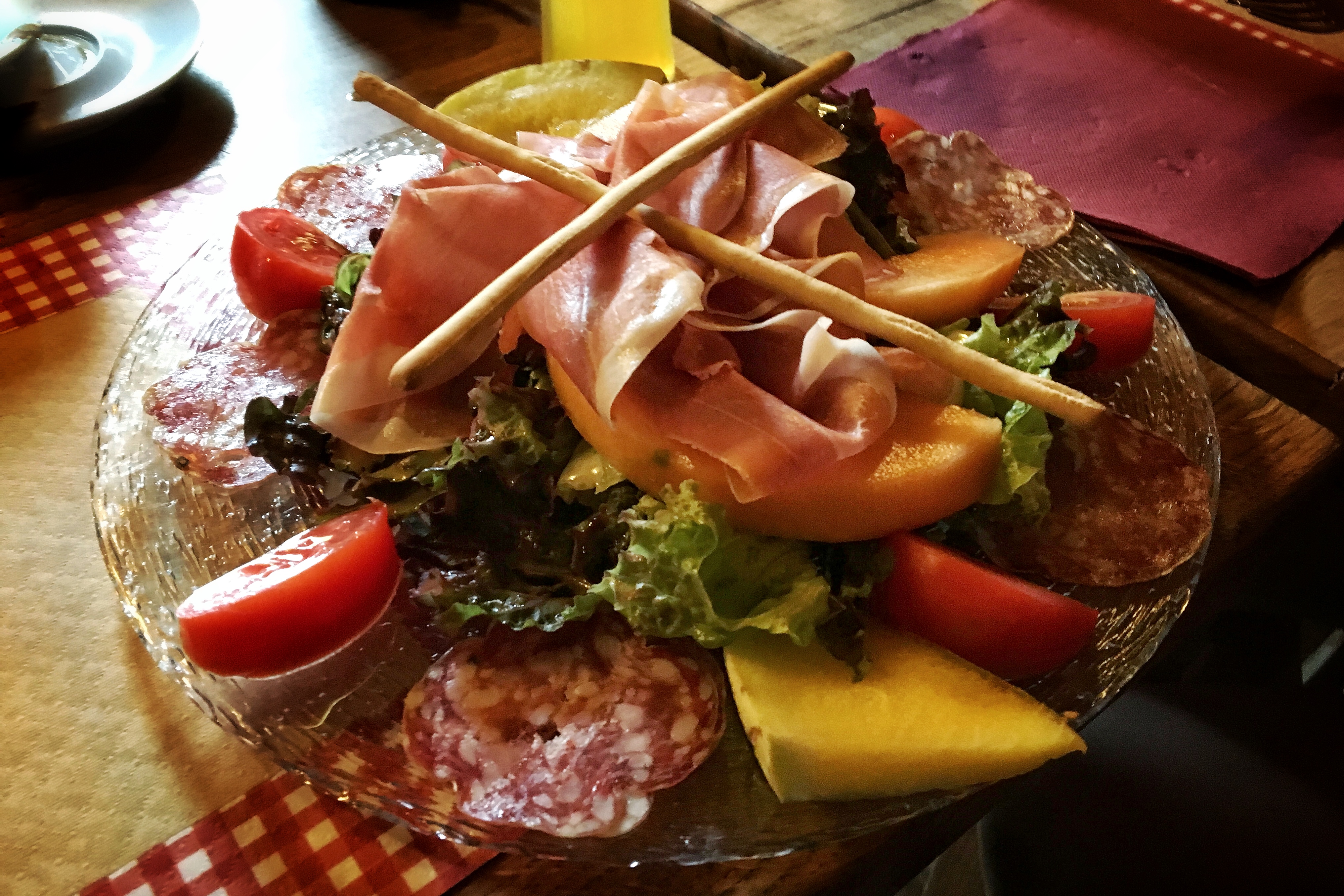
Salads in the French Alps are legit
By the time lunch was over, the weather cleared a bit and we started our descent on a nice, dry road. Everybody made it down in one piece, which means it’s official… Matt (and I) have survived the biking portion of our bike trip!

Dave, what if I want to go 70 mph down the mountain???

Ok, how about ~20-30 mph
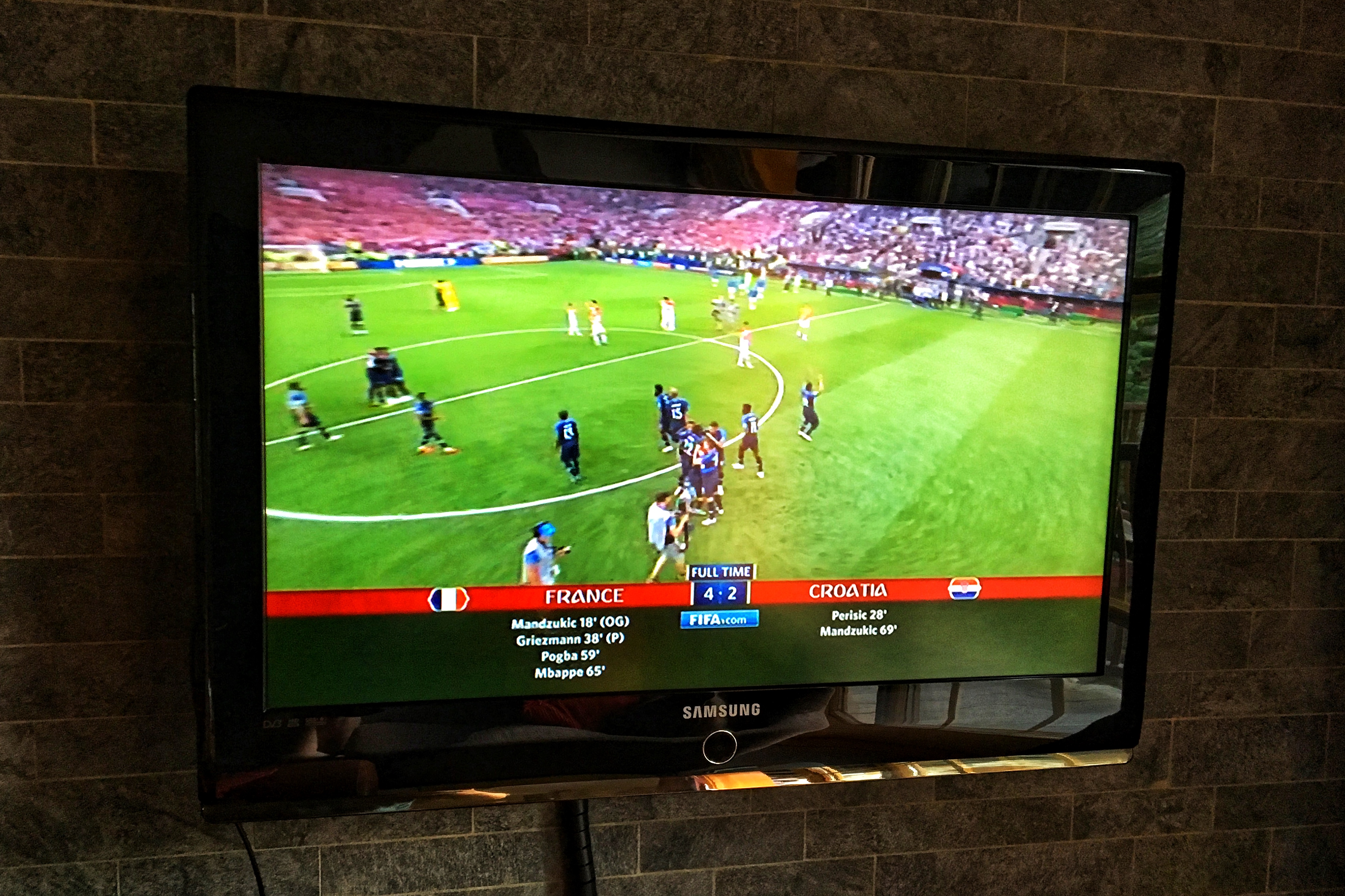
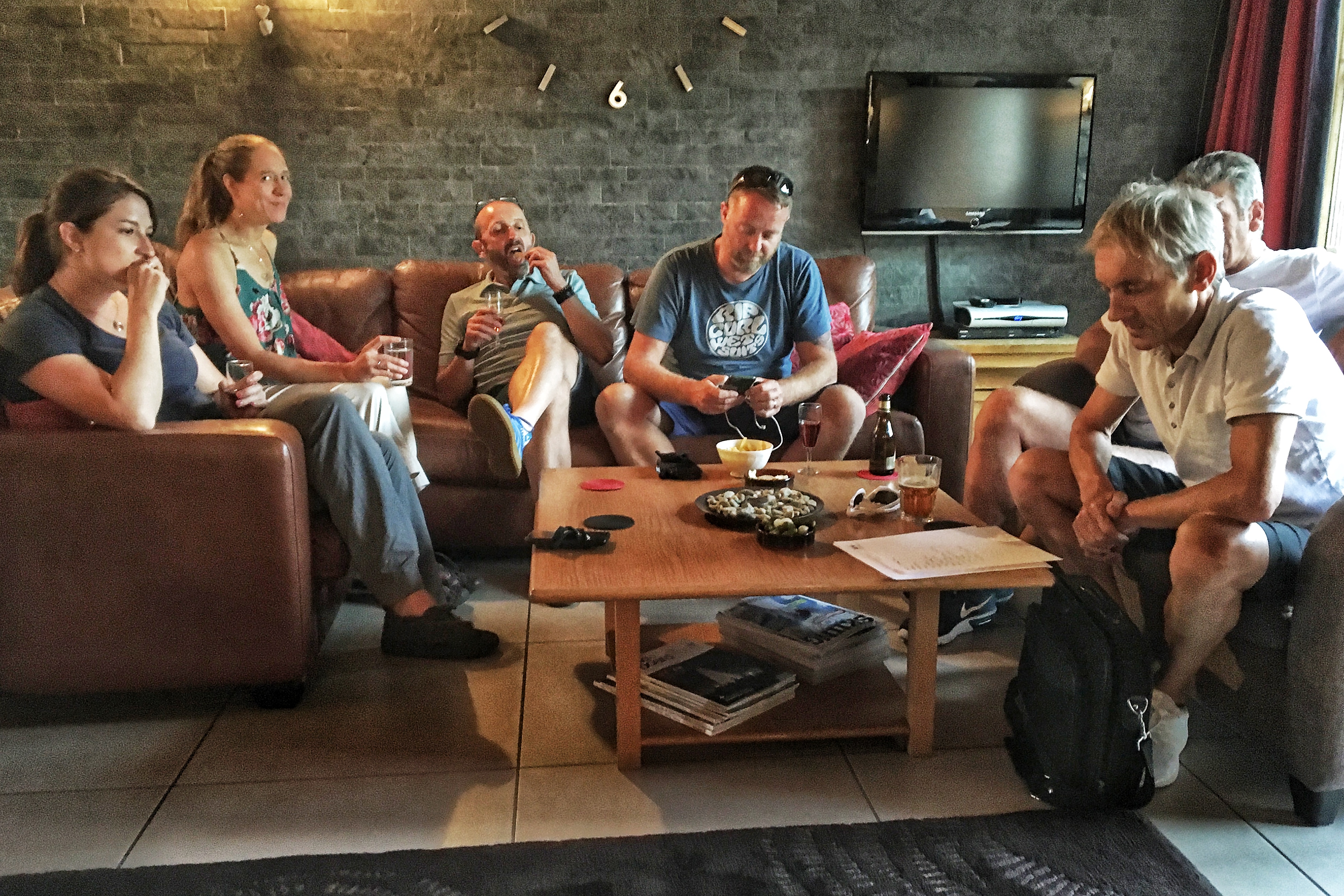
After loading up all the bikes and riders at the bottom of the mountain, we drove back to the chalet in Courchevel and had plenty of time to finish our last bottle of cider while watching stage 13 of the Tour de France on TV. As a special treat for our final night of the trip, Dave arranged a celebratory dinner with the group at a local restaurant called Refuge du Bois in Champagny Le Haut.

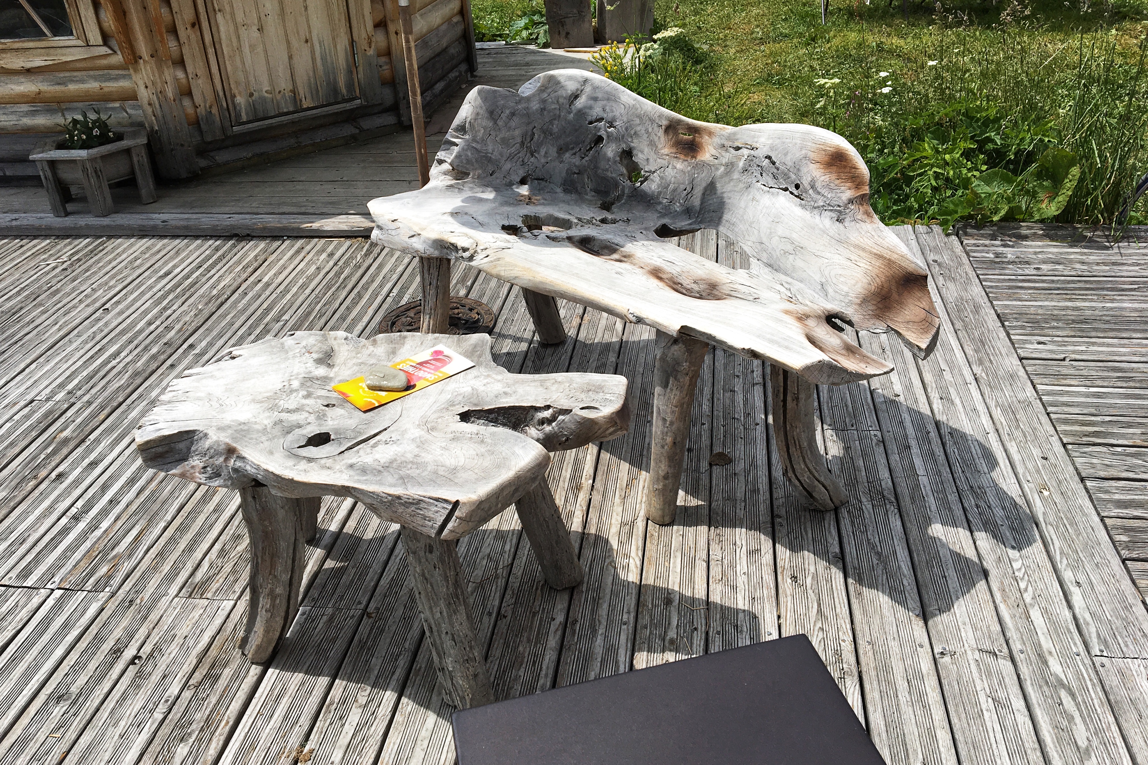
Garden behind the chalet
On our way to dinner, the rain started coming down as soon as we got in the car. Knowing our biking was finished, this was oddly satisfying! To reach the restaurant, we drove down the mountain, passed thru Bozel, and followed switchbacks on a small road up into the mountains on the other side of the valley.
The Refuge was aptly named and very cozy. Dave’s menu selections were amazing, with lots of local cheese and house wine. The delicious main course featured turkey breast, wrapped in ham, doused with melty cheese along side a generous portion of hearty Savoie region specialty pasta called Crozets. Afterwards, we ended up with a bottle of Genepi on the table and everybody downed some celebratory shots.

Arriving in Champagny Le Haut

Traditional herbal liqueur in the Alps
After our best dinner in France, we made our way back to Courchevel in the foggy rain and enjoyed our last night hanging out in the chalet listening to the storm. Tomorrow we all head back to Geneva and most of the group flies home.