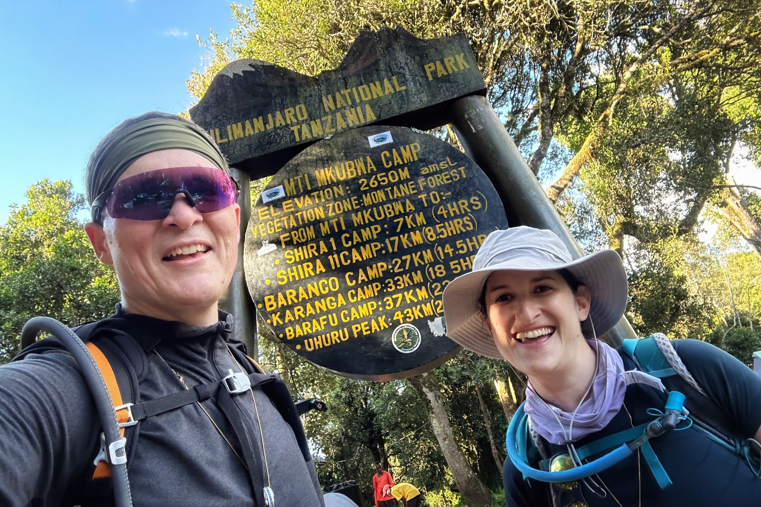
Day 4: Big Tree Camp to Shira 1 Camp
Good morning! First night in our new tent home was pretty good. After years of hammock-camping, we had a concern that a return to the ground level in the Mountain Hardwear Trango 3 might be tough for the 45-year old set, but the combination of the sleeping pad, the sleeping bag, and our air mattresses seemed to get the job done (pending whether one of our air mattresses was working properly, which — spoiler alert — it was not, as we came to discover over the next couple days. But that’s a future us problem!).
BONUS! We had some wildlife drama to keep things interesting during the night. Before heading to sleep, the guides told us we may hear some monkeys and jackals scouring the campsite for food during the night. Sure enough, at about 12:30am, we heard some screaming monkey sounds very close to our tents. The monkey (or monkeys) liked our camp and was not planning to leave, or be quiet, anytime soon. Then, clear as a bell, we heard one of the guides shout “FINE! DO WHAT YOU WANT!” and the monkey never made another peep. Ari confirmed he heard the exact same thing, so it wasn’t a Kilimanjaro jungle fever dream.
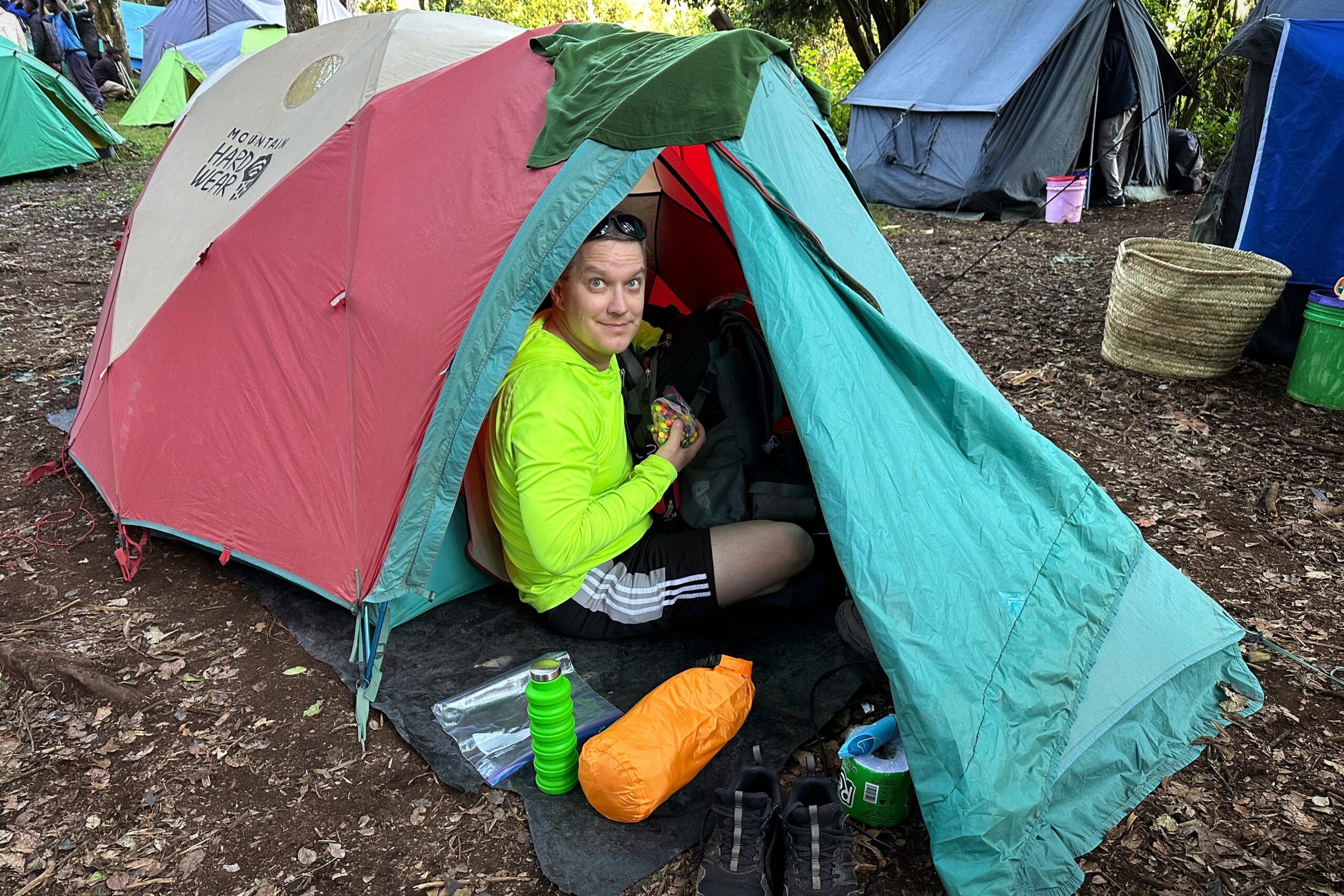
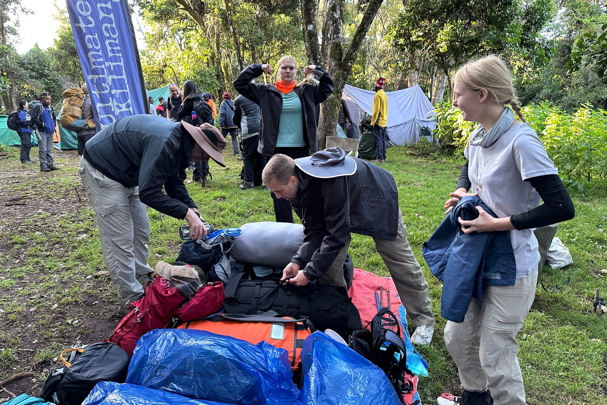
Even with the monkey entertainment, we got plenty rest (temps did not dip below freezing). Wake up call is at 6:30am, but we awoke quite refreshed at 4:30am, so we had plenty of time to relax, eat a wake-up snack (trail mix), and learn a routine of re-packing and organizing all of our stuff inside the cozy confines of of 92″ x 64″ alpine tent.

Rise and shine and bags on the tarp!
Breakfast was delicious. The eggs and sausage (let’s call them hot dogs) hit the spot. We didn’t know it yet, but us and porridge would become very well-acquainted over the next seven days. Eggs and sausage come and go, but porridge will ALWAYS be there for you.
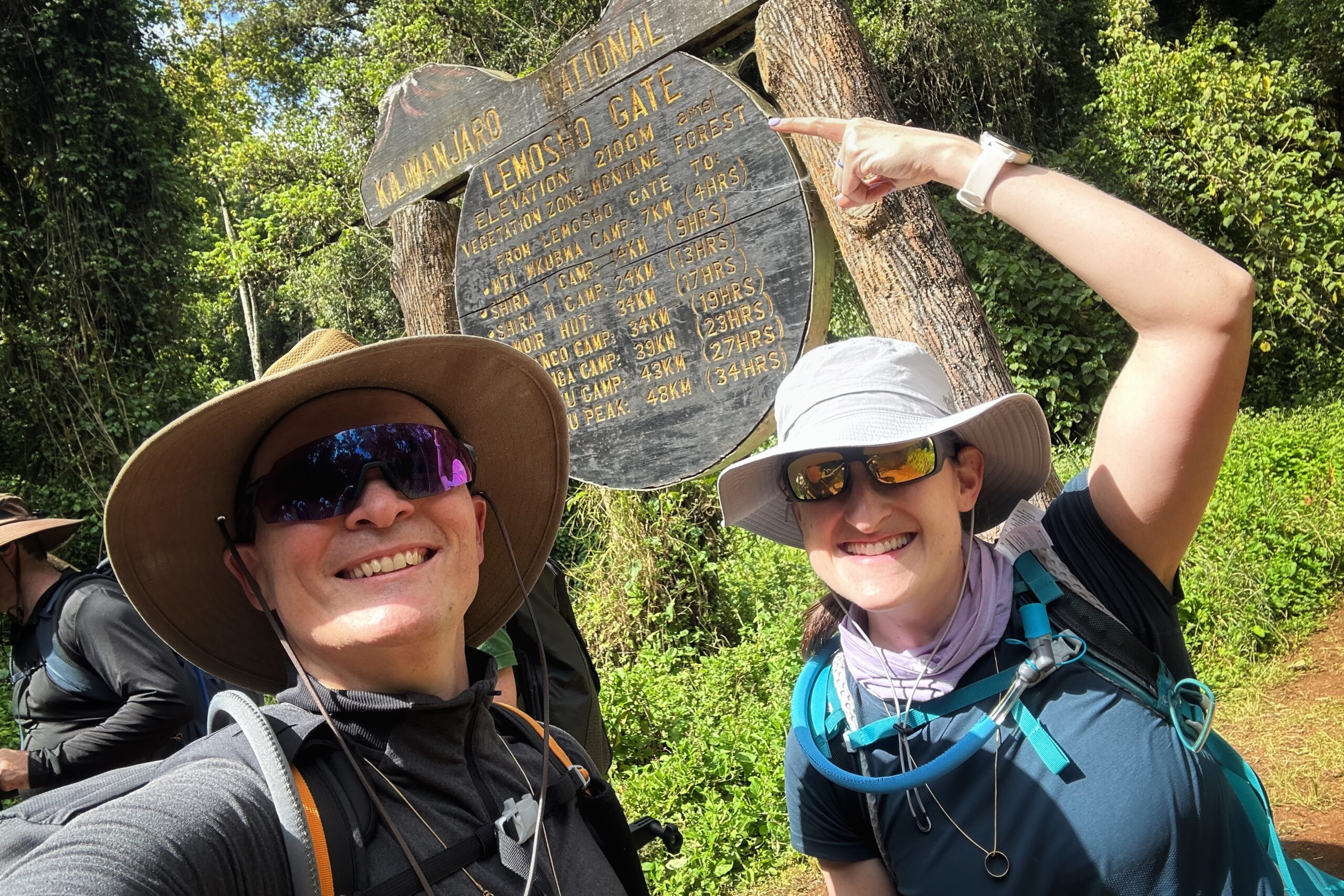
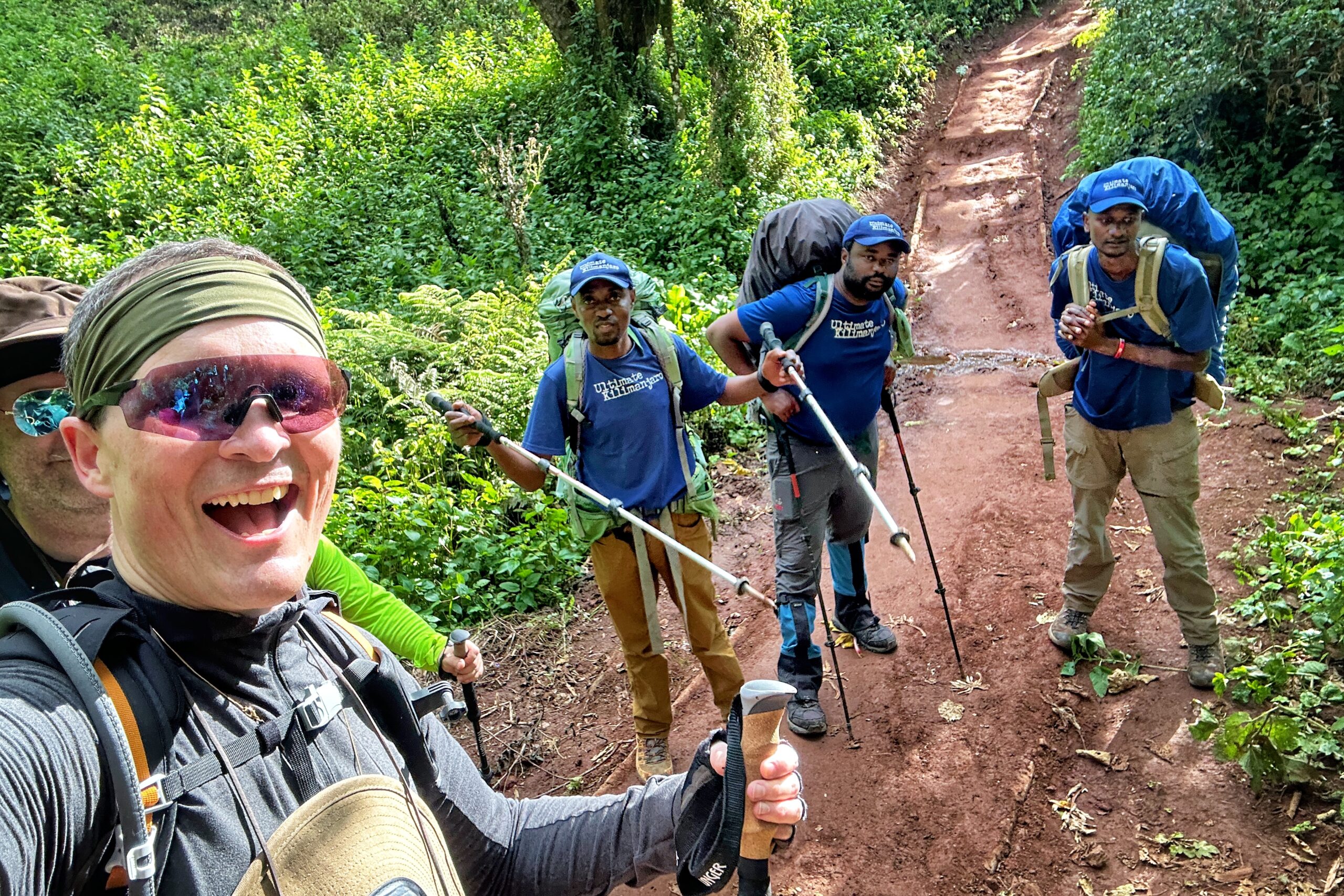
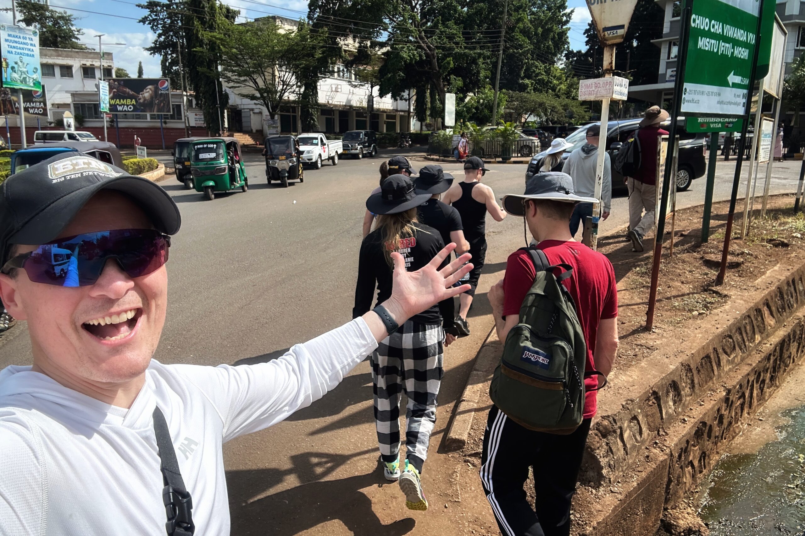
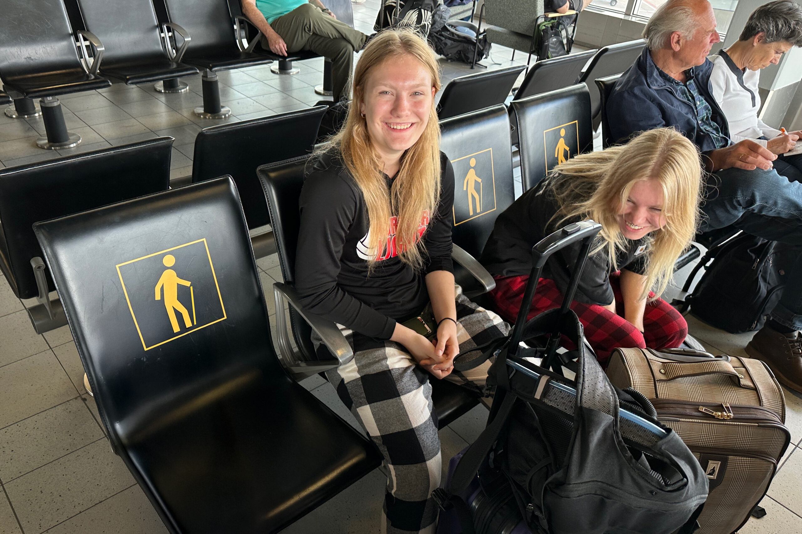
After breakfast, we stepped out of the dining tent and discovered the porters has already deconstructed our camp. These guys are amazing! We made our last-minute day-pack adjustments, and were ready to go right on schedule at 7:45am — we are definitely on “UK time” now, hooray!
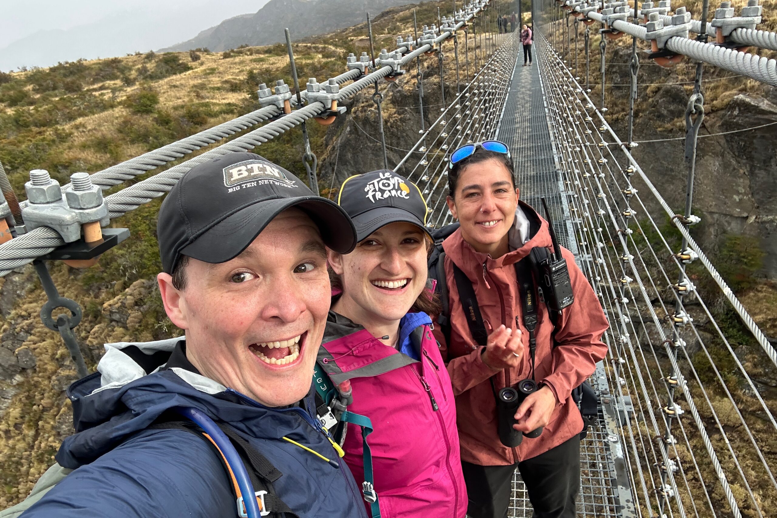
Melanie is still the No. 1 draft pick if we were a fantasy hiking team

“The Allegory of Coffee vs No Coffee”
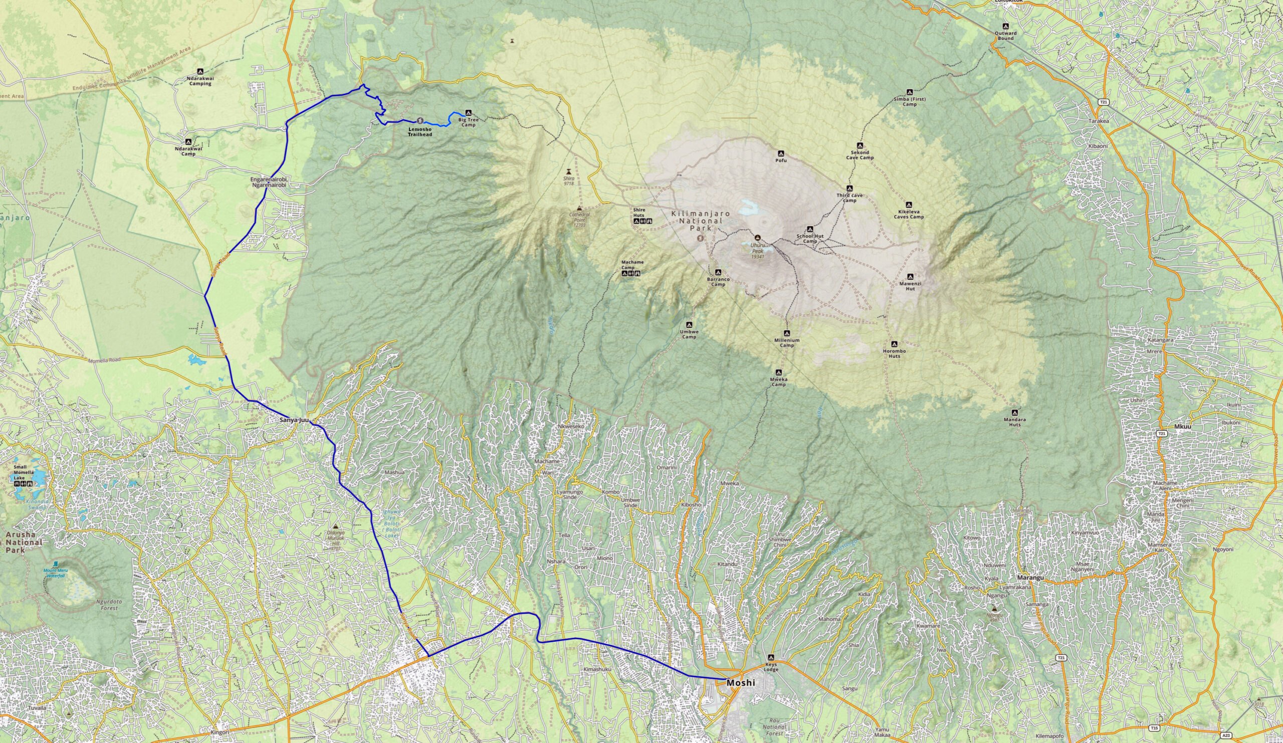
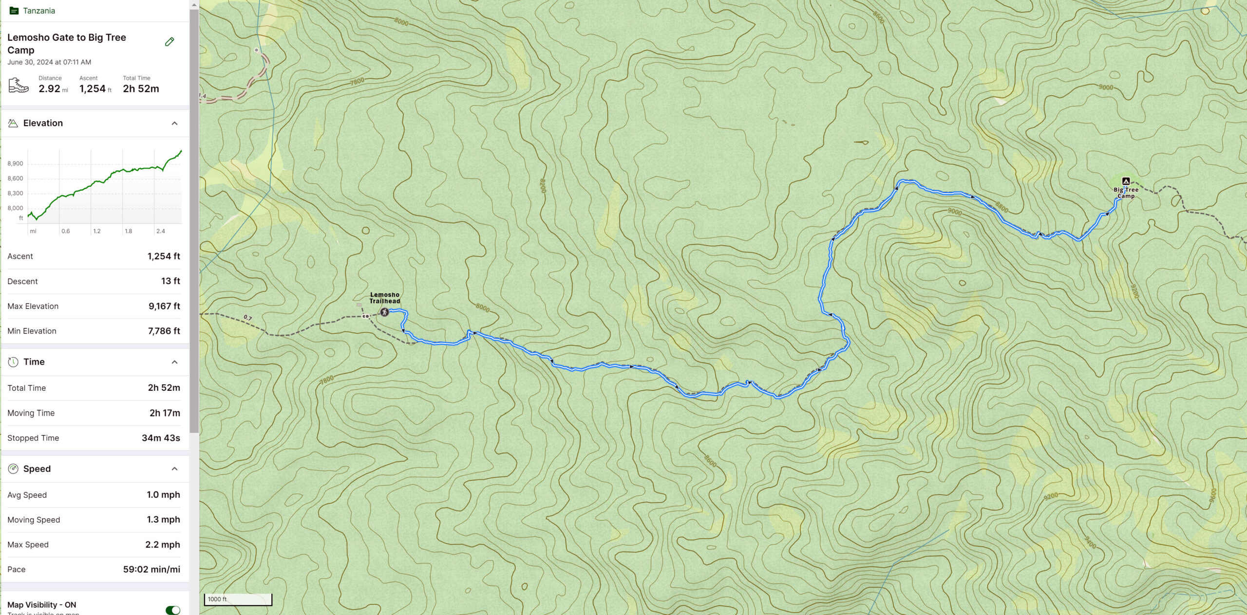
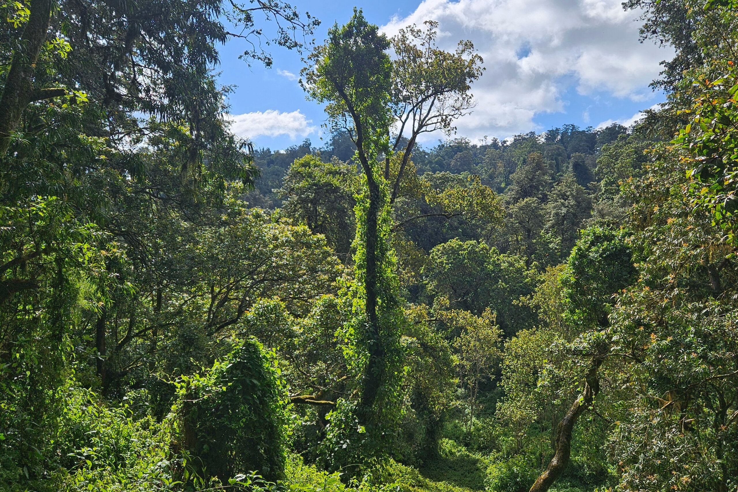
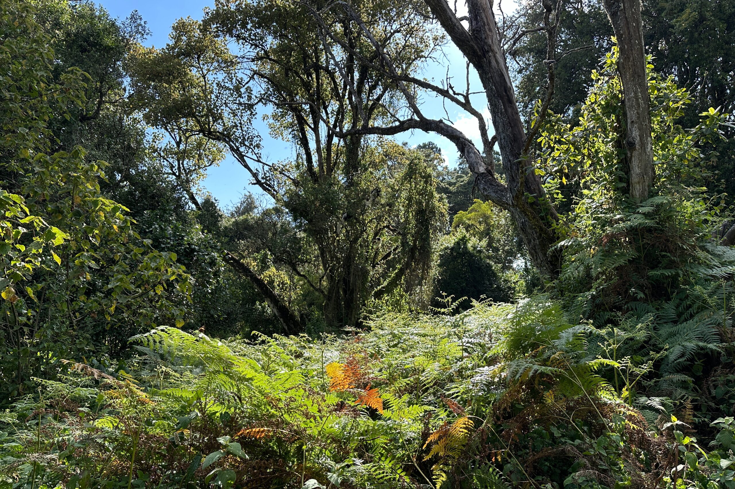
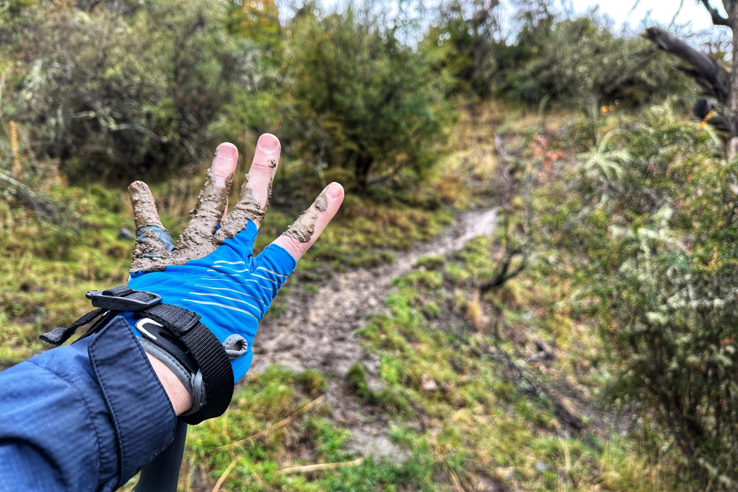
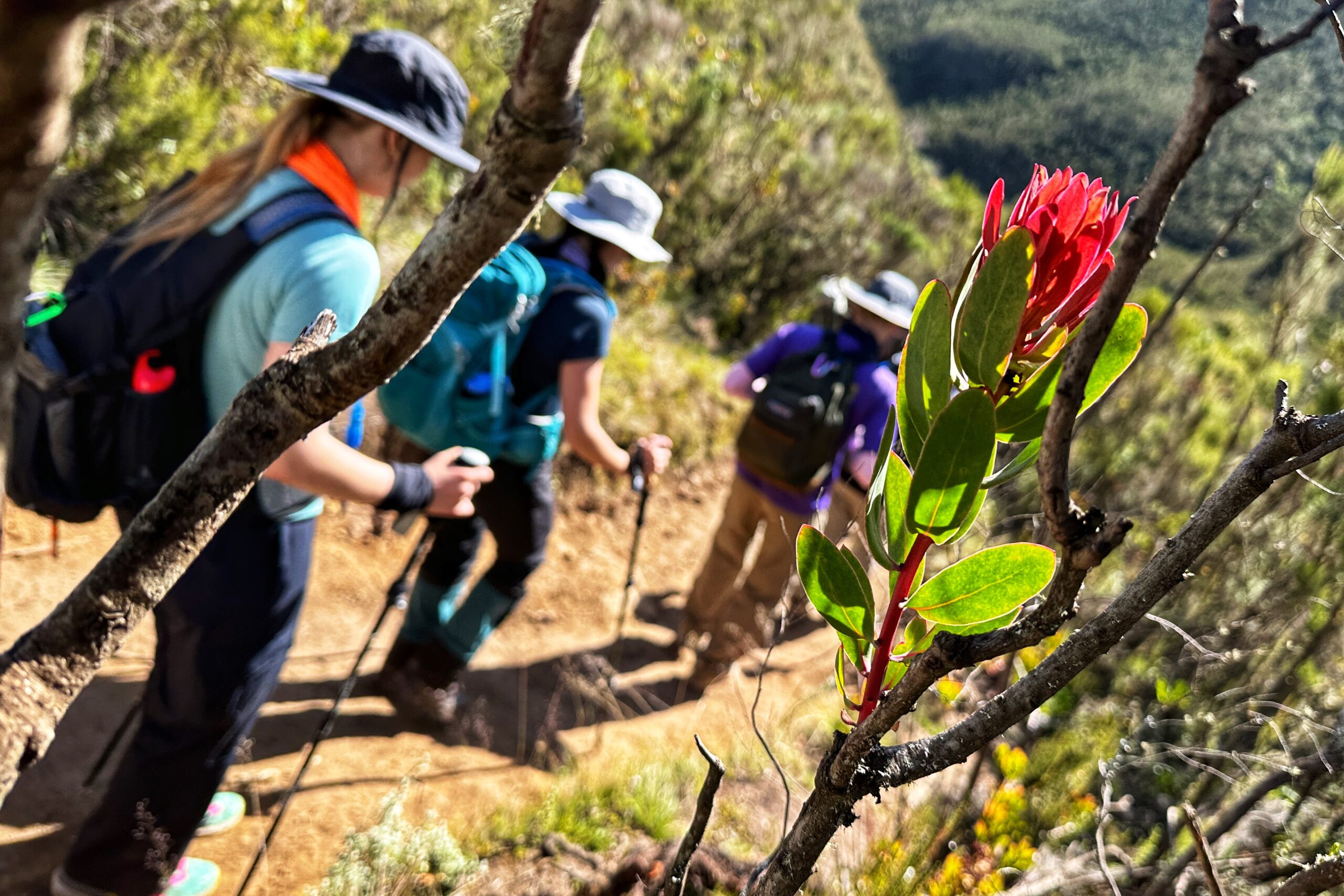
The day’s hike began in the Rainforest zone and eventually emerged into the Heather-Moorland zone. It started at 9,144 ft and ended at 11,472 ft when we arrived at the Shira One campsite. During the first part of the hike in the jungle, the weather was amazing and the trail stayed dry — avoiding what could easily have been a muddy disaster with a small amount of rain.
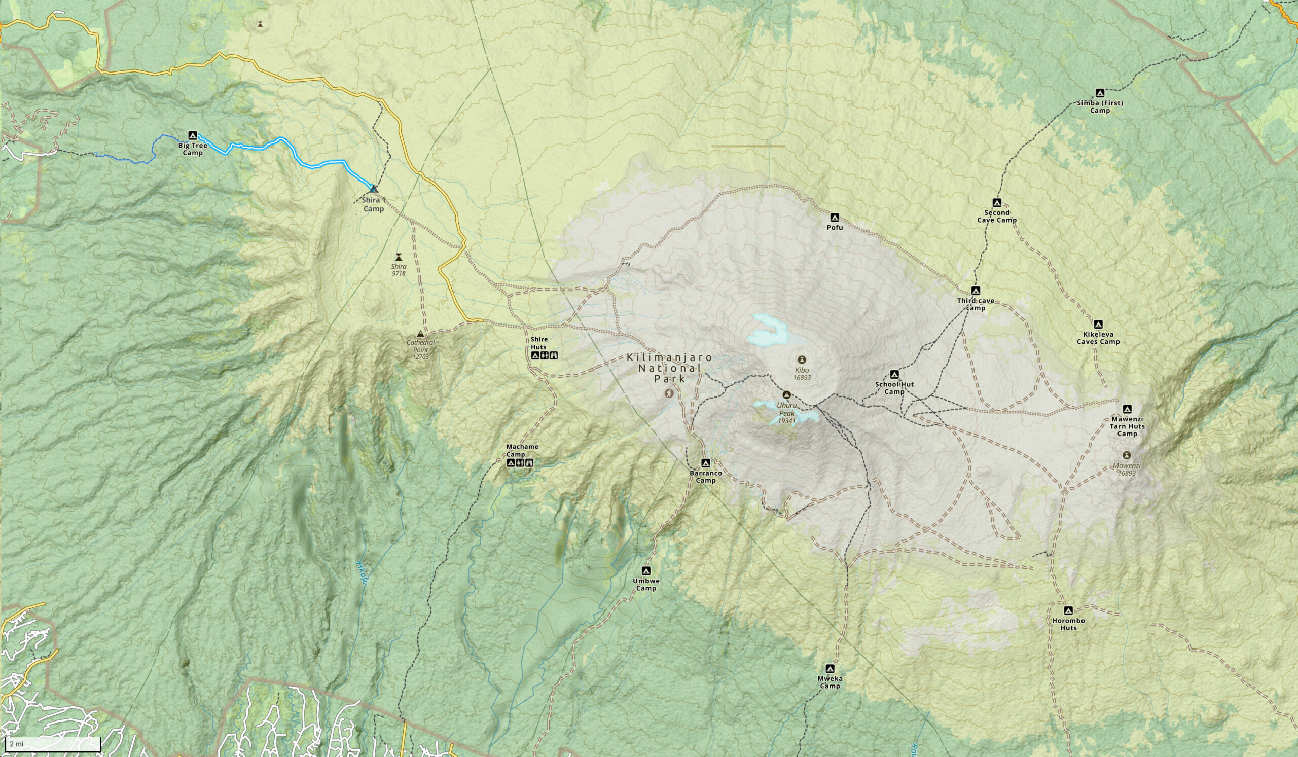
Day 2 hike map
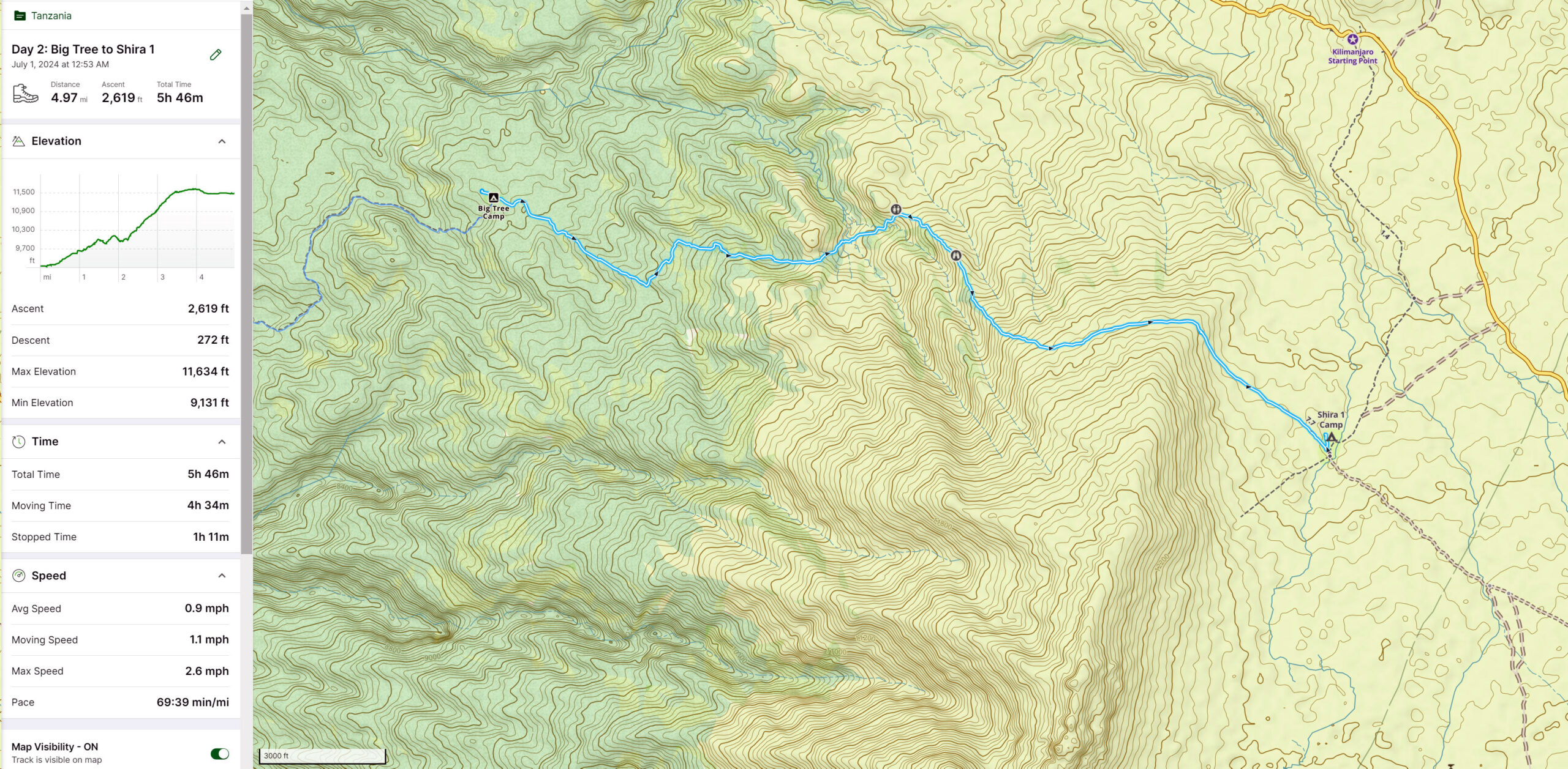
Day 2 hike (detail)
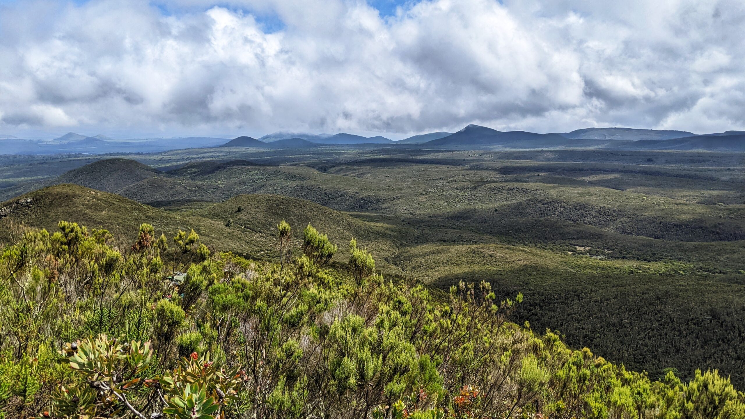
After about an hour, we transitioned to the Heather-Moorland zone. It was a striking change of scenery. There were no longer large trees around us, replaced with bushes and shorter plants more adapted to the higher elevations and cooler temperatures. Looking west above the jungle, a cloud layer sat atop the lower cultivation zone, and Mount Meru rose in the distance.
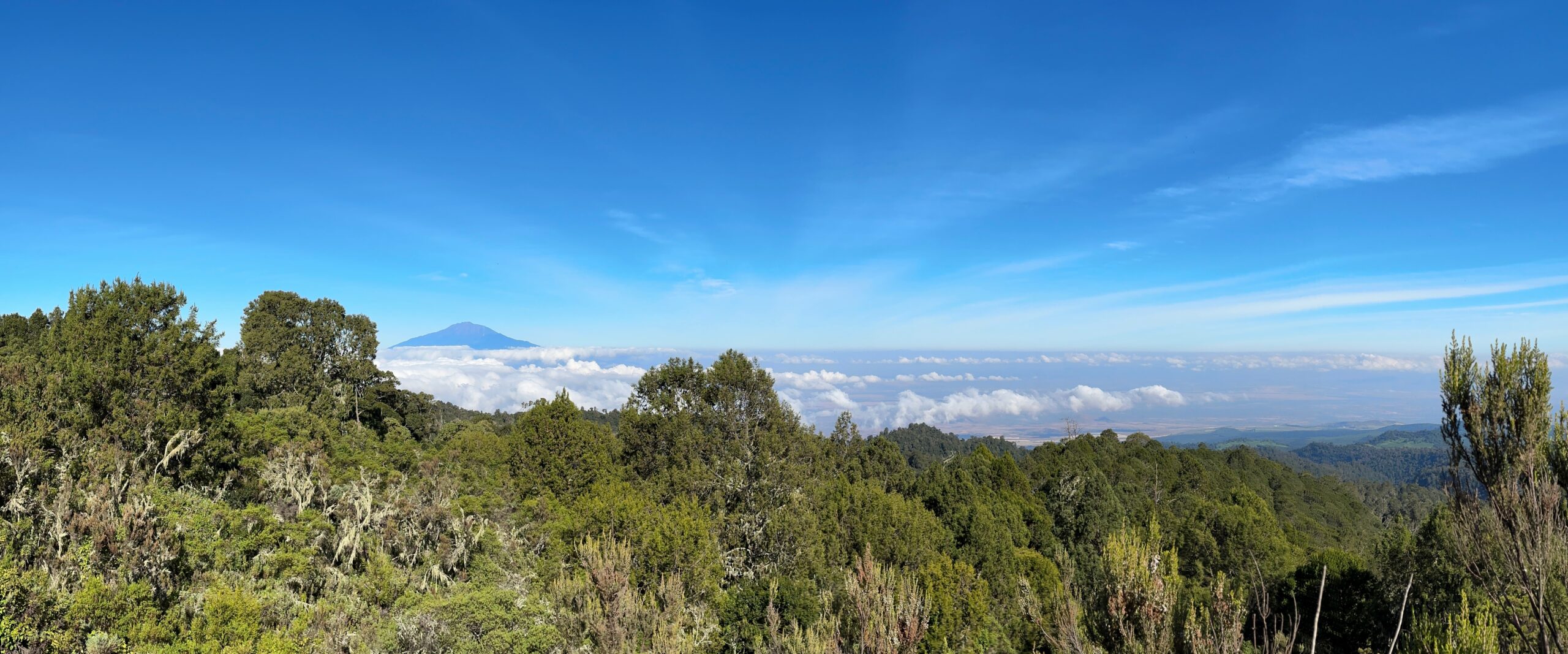
Westward view of Mount Meru after emerging from the jungle
We were out of the jungle, and the sun was shining (remember your sunscreen, people!), but the Moorland zone is no joke and our relatively easy hike quickly turned a bit challenging about halfway thru. The slopes were steep and we could see hikers on the ridge far above us. When we eventually reached the top of that ridge, we would quickly discover another higher ridge in the distance. That probably played out about 4-5 times. As James eloquently put it, “So many false plateaus!” Without the larger vegetation, the sense of distance was altered as well. Aaron compared it to the Vegas Strip, in that “objects in the distance are much farther away than they look.”
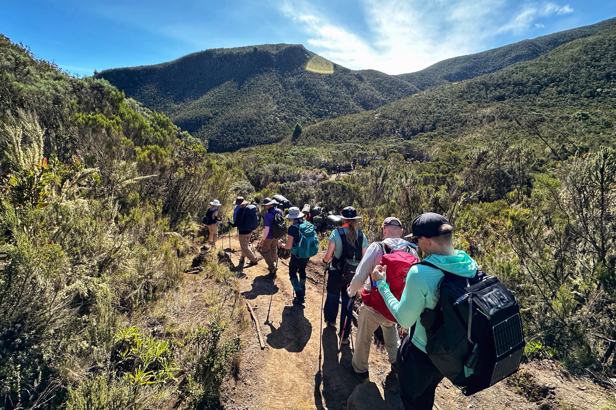
That ridge is SURELY the top!
Pretty vegetation in this area
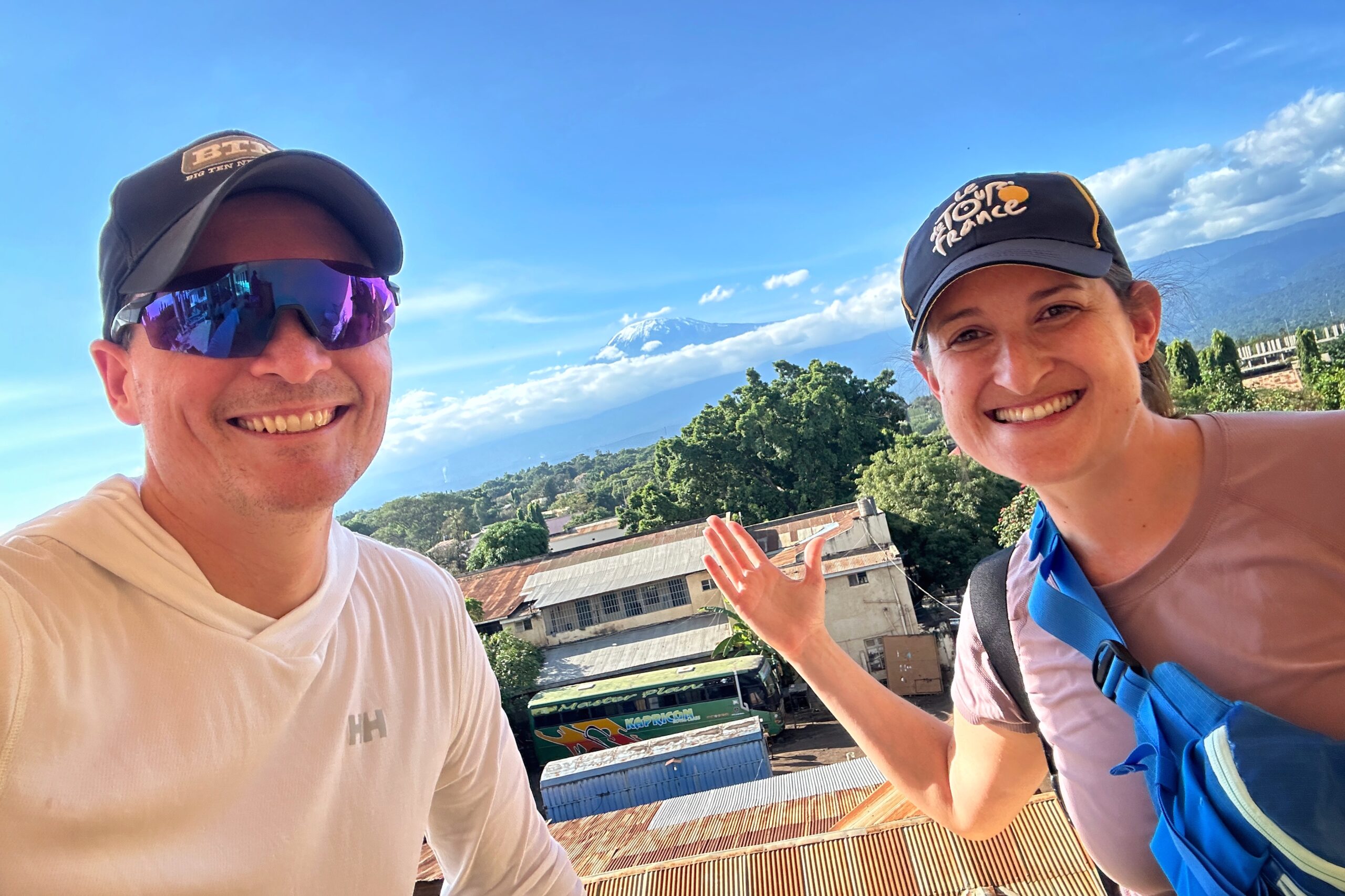
Along the way, we took several snack breaks and enjoyed the view. As we approached 11,000 ft, we found ourselves passing thru a cloud layer or two. The cooler air was a nice break from sun. We also discovered the higher elevations afforded better odds for those of us hunting for international cellular service signals. This is how we came to learn that Ari’s garage door in Minneapolis was successfully closed this morning. We also successfully sent a proof-of-life photo to Becca (and the “left-behind” google chat).
Northward view over Shira Plateu as some light clouds roll in

Breaks are for millennial selfies and cellular signals
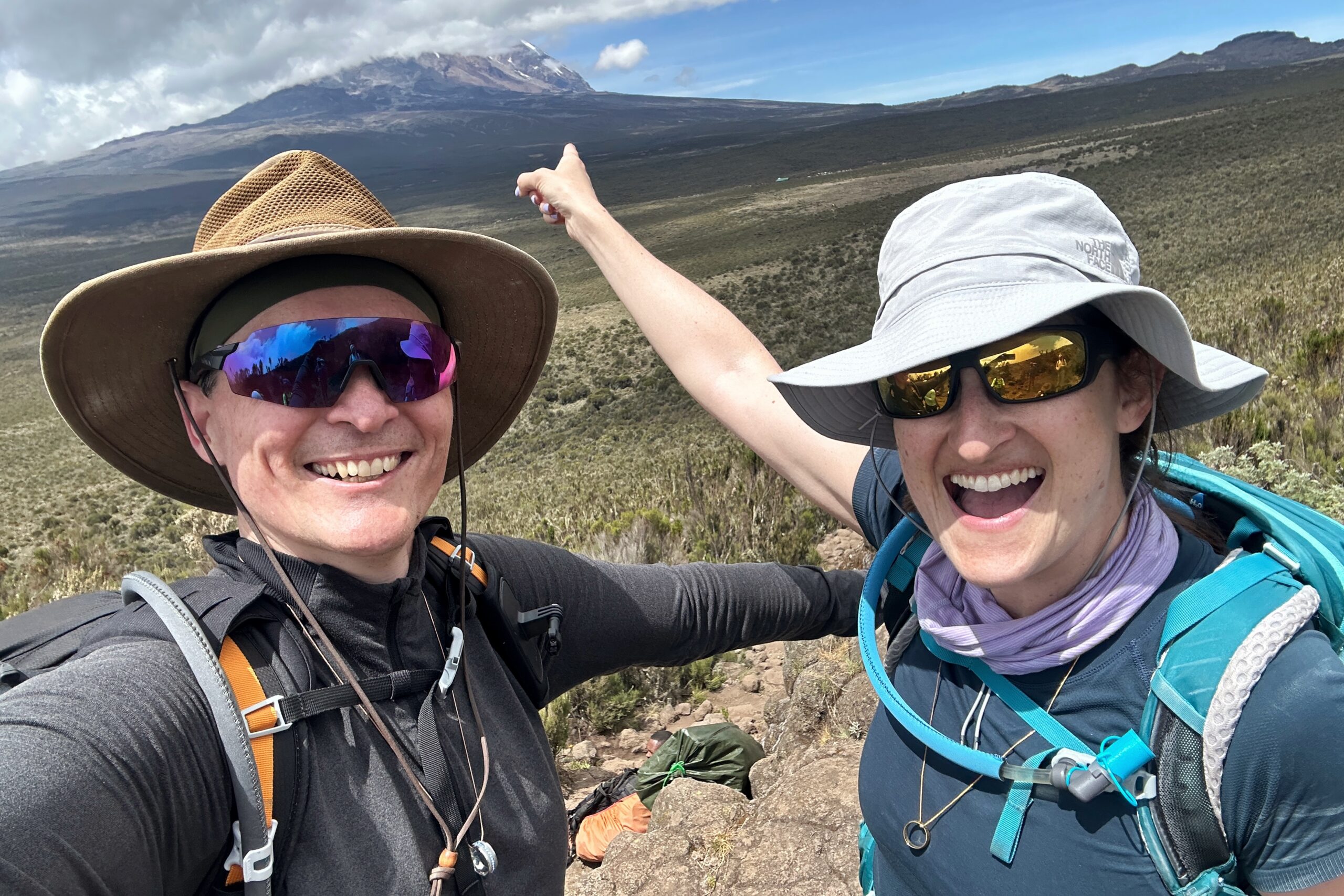
At long last, we cleared the final ridge and our GPS apps no longer indicated we had a significant number of contours to traverse. Welcome to the Shira Plateu! The last 2-3 kilometers were a flat walk eastward with a great view of Kilimanjaro in the distance, and our campsite growing ever larger in the foreground. Everybody eventually made it — even Lily, who got a bit queasy/cold as a result of her never-ending quest to avoid wearing extra layers.

It’s a straight shot to our campsite from here
Still on target
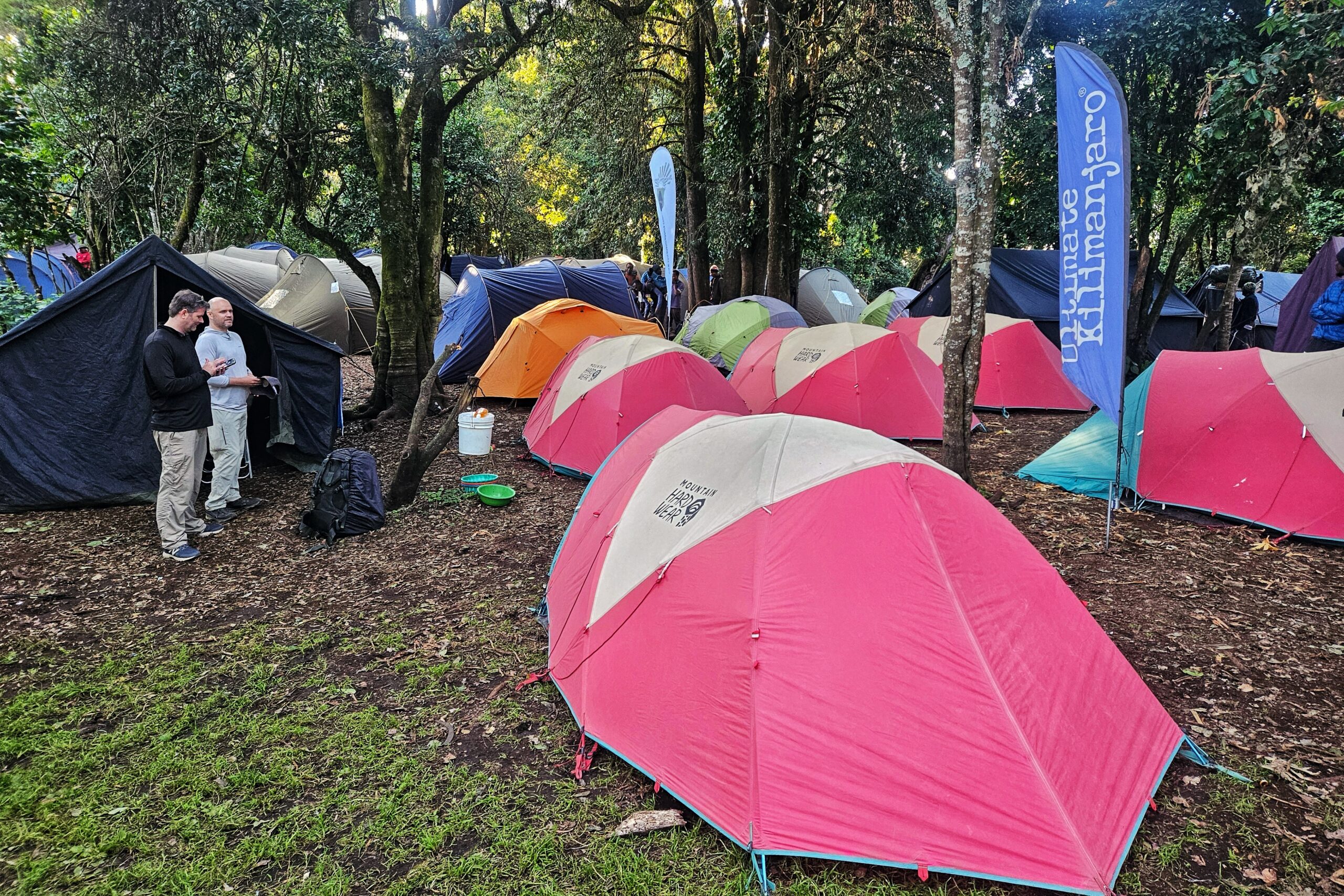
When we got to camp, we were greeted/congratulated by the UK staff who, once again, worked their magic and had our entire operation up and running by the time we arrived. One “downside” of our amazing weather without precipitation is the higher levels of dust. As such, one of the MVP candidates among the porters for the next week was Abraham, who was always one of the first people to dap you up on arrival, and would then immediately dust off your shoes & gaiters — a HUGE help keeping our tents clean.
We unpacked a bit and soon gathered in the dining tent for a lunch of leek soup (not to be confused with “weak soup”) and pasta with minced beef sauce and shredded cheese. We discovered a bottle of hot sauce on the table labelled “Mazoon Chilli” that featured the following ingredients: Red Chilli, Mango, Ginger, Vinegar, & Garlic. As expected, this stuff was fire (in a good way), especially when added to the right dishes, such as the leek soup. Mazoon Chilli sauce might be the dining tent MVP.
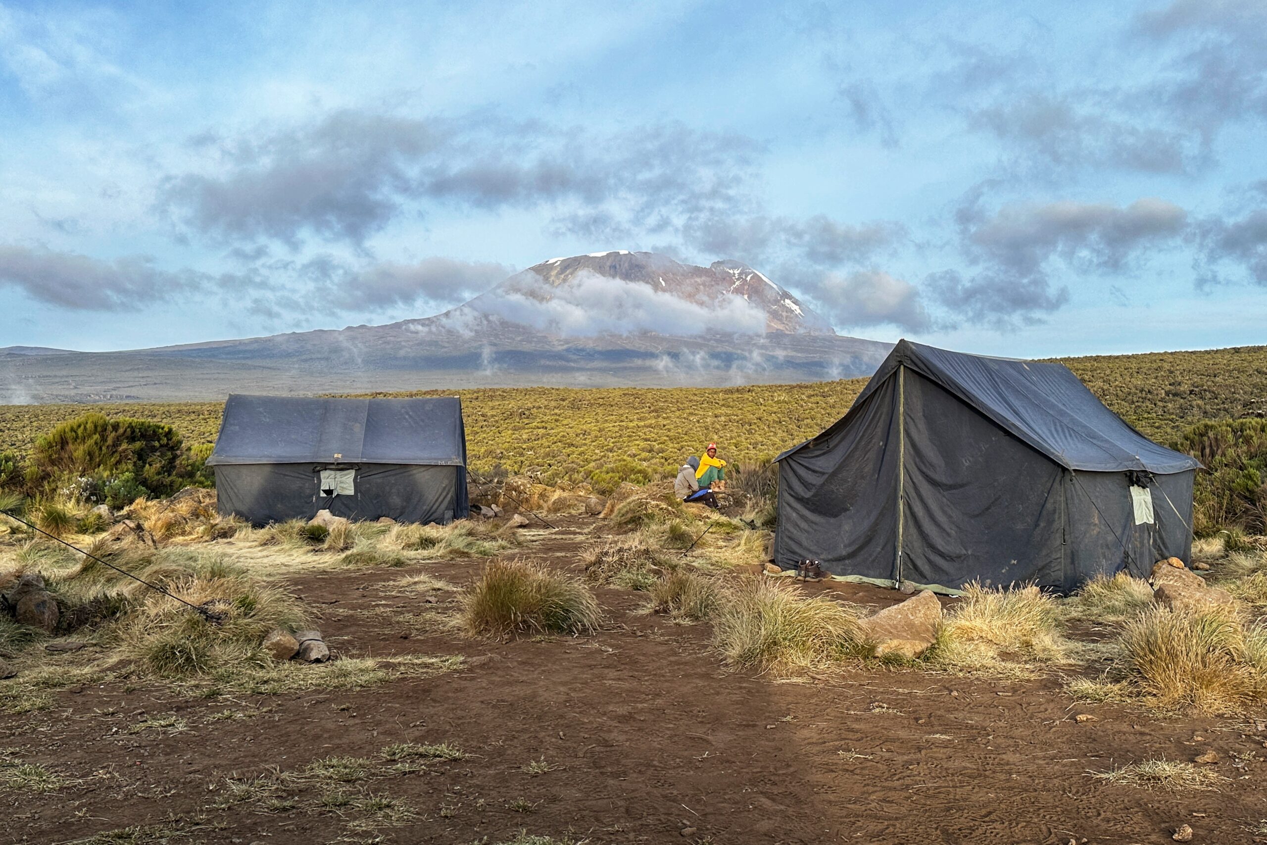
Checking in at Shira 1 Camp
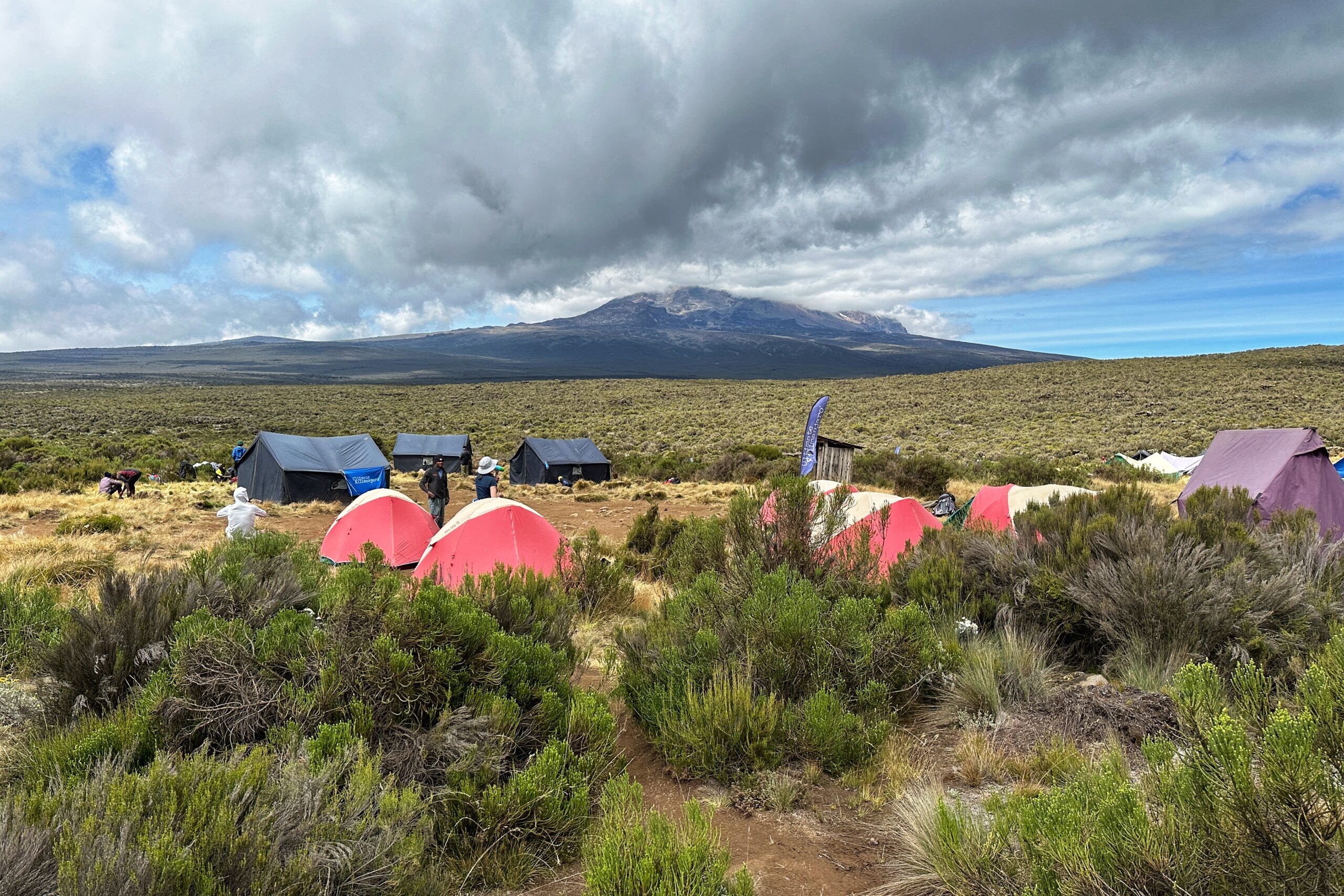
Less crowded… Less trees… Less monkeys
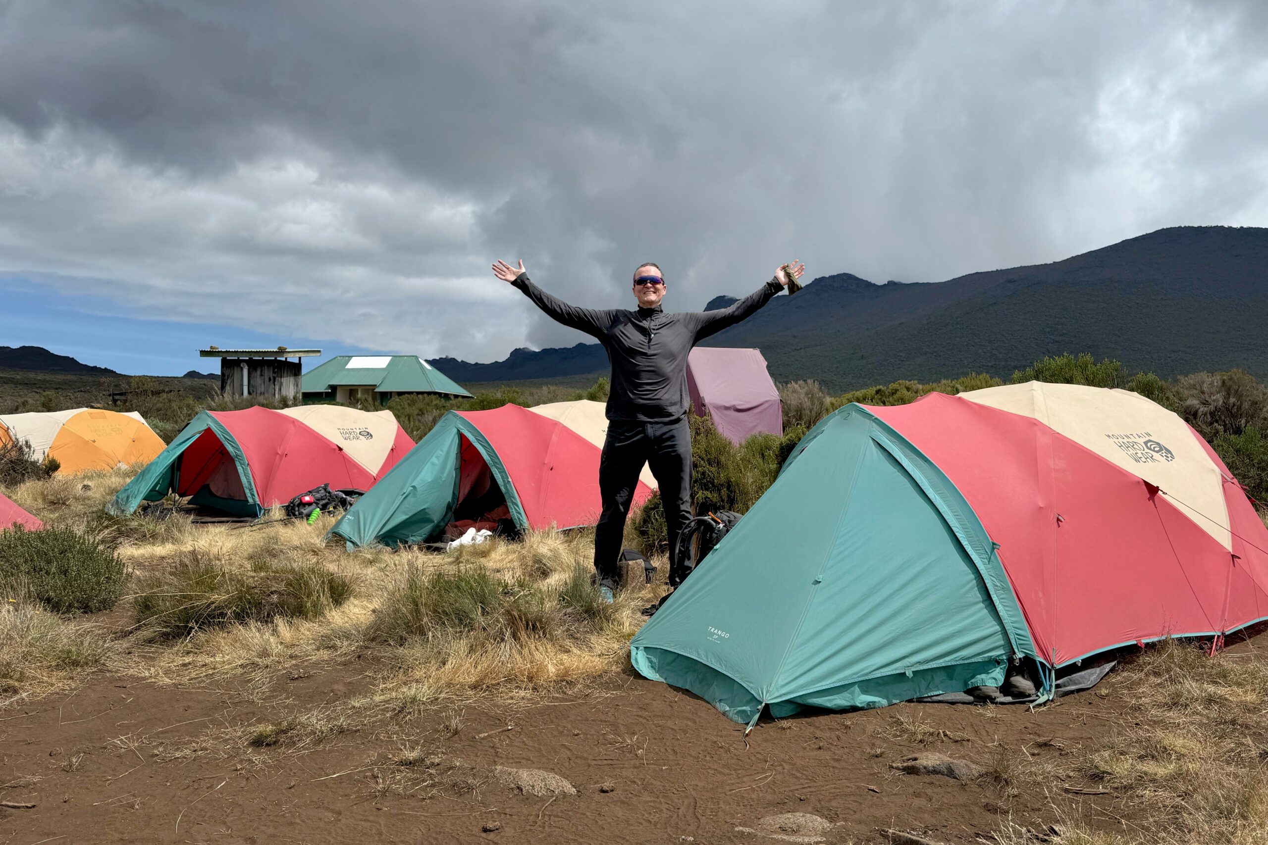
Home sweet home day two
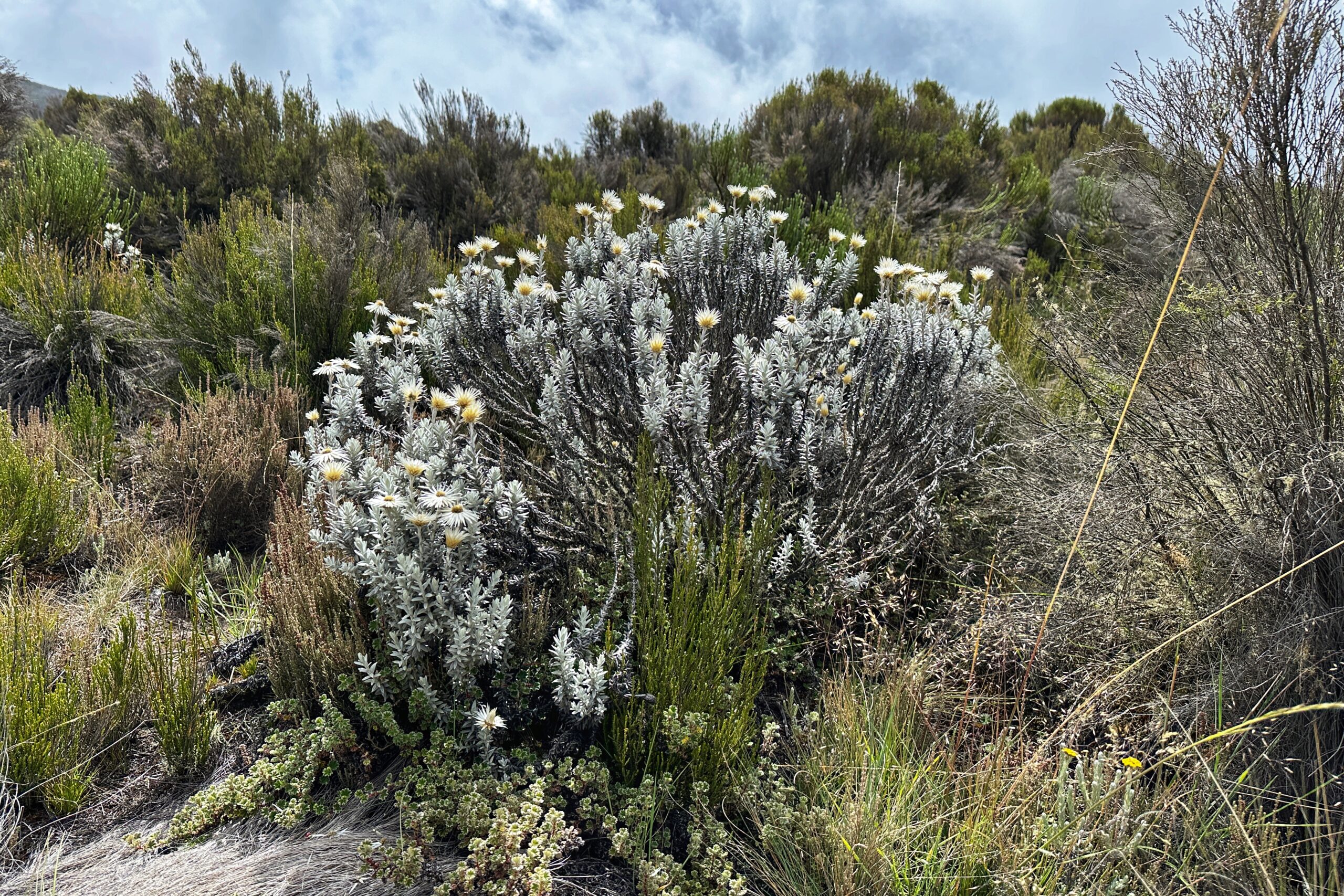
Everlasting flowers
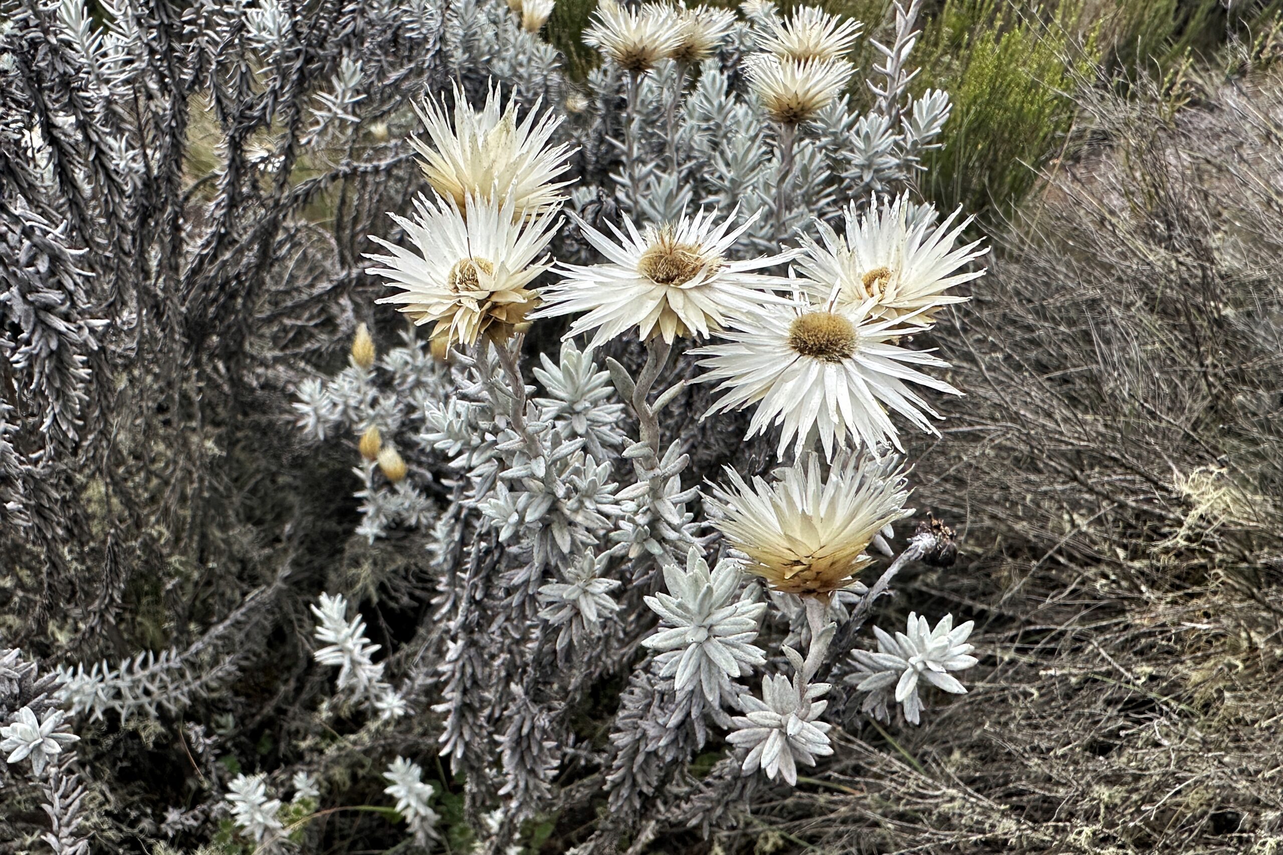
Complete with spiky protection
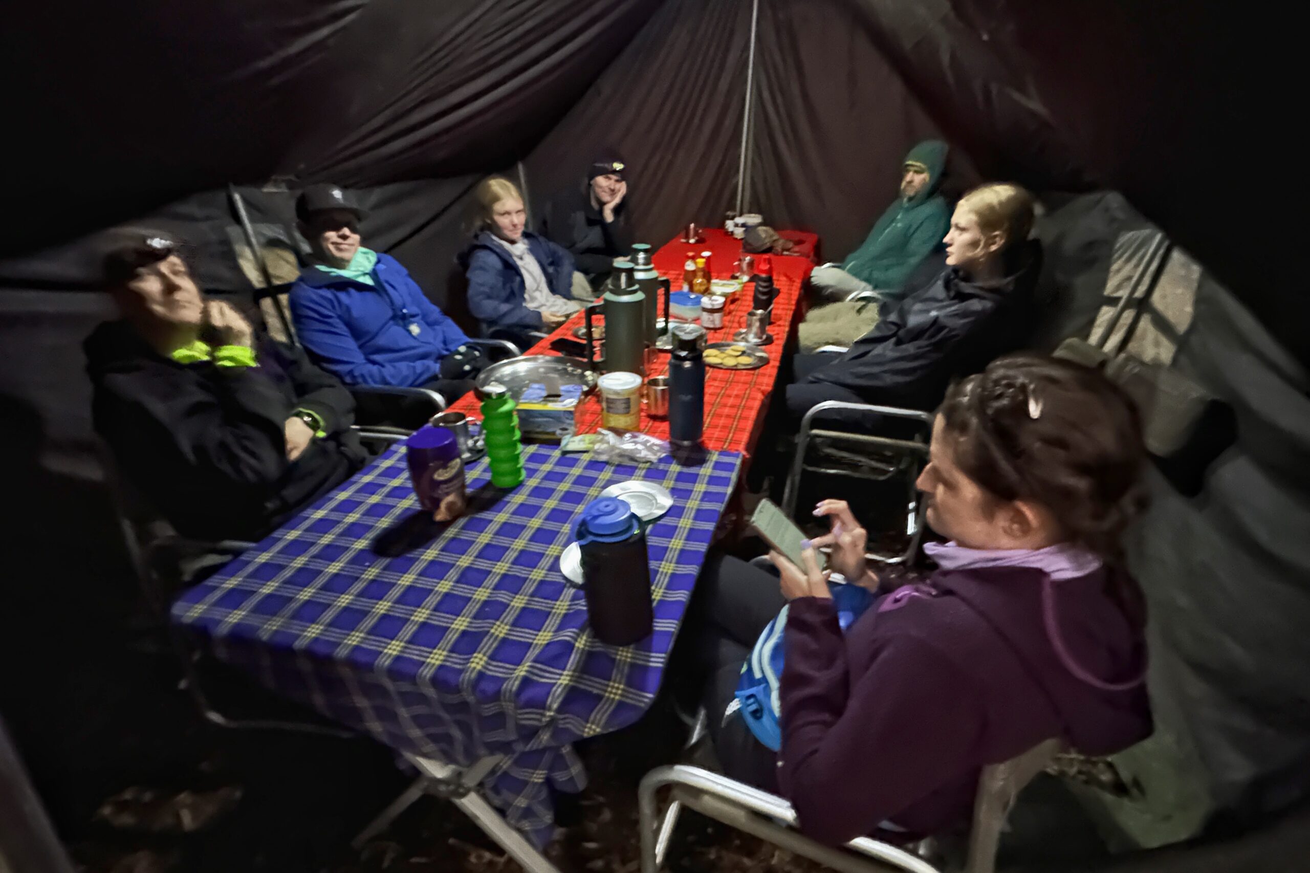
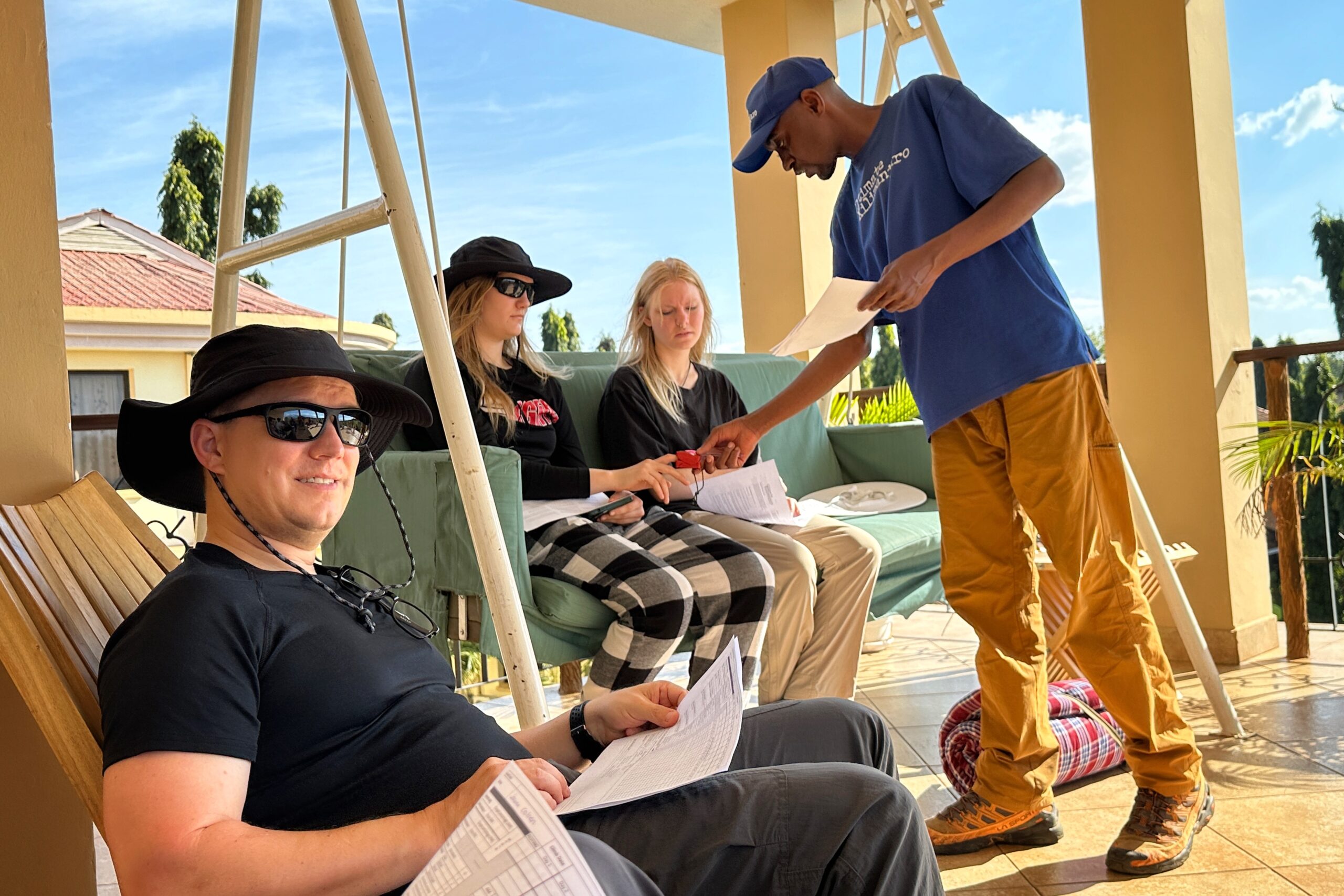
For the remainder of the afternoon, we took it easy around camp, and gathered in the dining tent to play some card games. If you preferred a normal card game, you could play hearts. If you preferred a more wacky card game that — as eloquently noted by Ari, “you could win by accident” — then you were probably playing Fluxx (but with an appropriate nature theme for camping).
Also, in case you weren’t taking your game seriously enough, there was a funny moment when the guides popped-in the tent to give us some information, but kindly waited seeing that we were focused on the games. After we took a pause and directed out attention to them, they jokingly said “No, keep going, we need to figure out who the loser is first!”
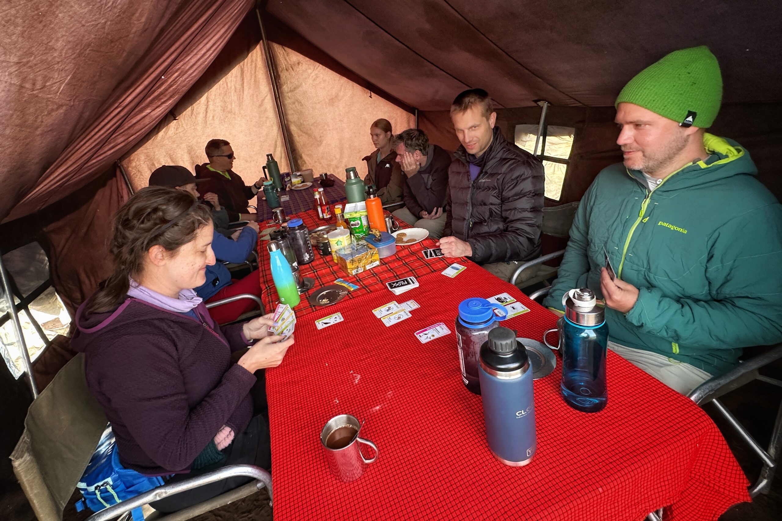
Nature Fluxx!
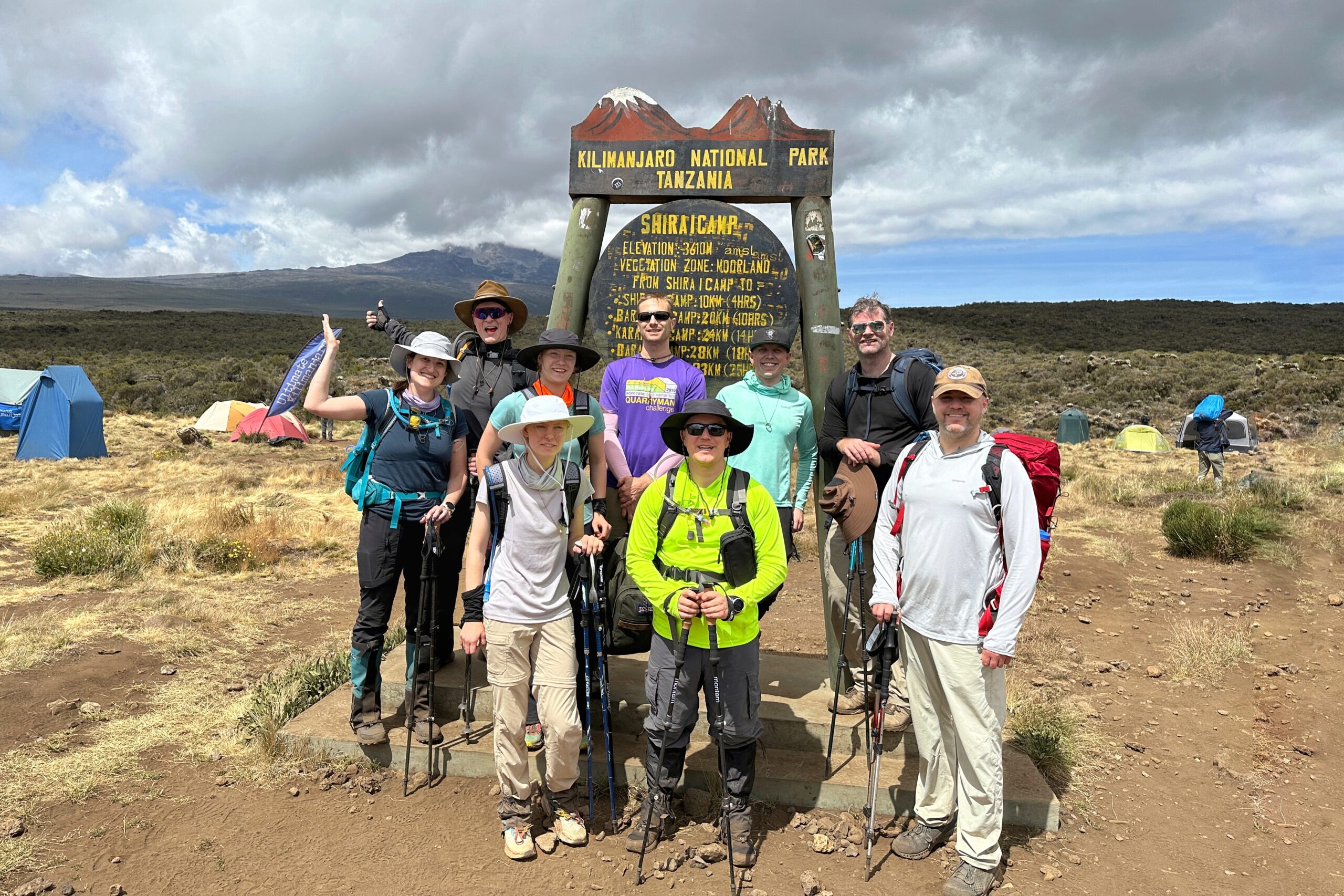
Having survived our second day of hiking, this must be the point when the Ultimate Kilimanjaro team figures we might be around for a while (just kidding), so we were all invited to join the full team outside the dining tent to participate in the official introduction/welcome ceremony. It actually makes a lot of sense to do that here instead of the very crowded Big Tree Camp.
August introduced all 30+ of the porters making it possible for us to do this climb and we are incredibly grateful for their support! After that, August tossed it over to Nelson (our server and primary music man) who stepped forward to lead the group in dance & song. Later, August explained that UK has hundreds of porters and that groups are called for duty in alphabetical order. And thus, we learned why over 50% of our porters’ names start with “J”.
Shortly after the introduction ceremony, we watched the colors of Kilimanjaro change rapidly with the setting sun. Following one last burst of bright orange, twilight settled in, and we gathered for dinner. Being in the Moorland zone at over 11,000 ft (+2,500 ft compared to last night), we all needed to put on our extra layers to stay warm after the sun went down. Dinner featured a zucchini soup, avocado salad, and stewed chicken curry on rice. We devoured all the food before heading back to our tents for the night.
Kilimanjaro an hour before sunset
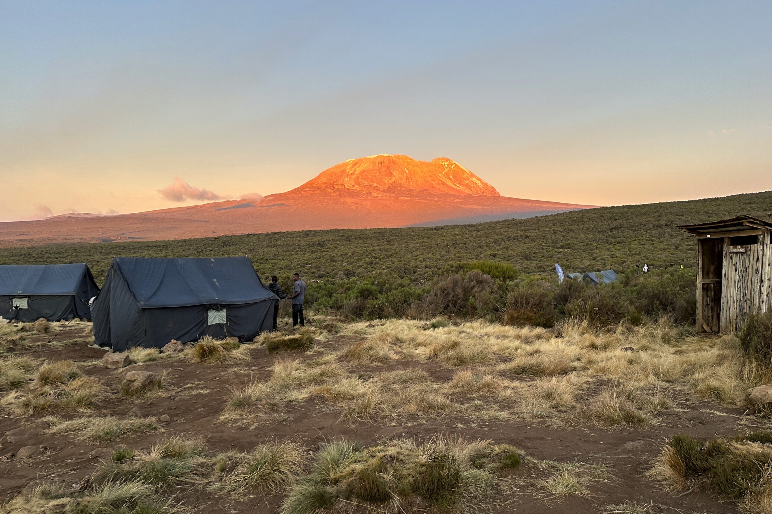
Kilimanjaro five minutes before sunset
After a second day of hiking, we are feeling great! So far so good. With a few additional layers, the colder temps should not be a problem. There won’t be any monkeys tonight, so who (or what) will provide the overnight animal entertainment?!?! Stay tuned!