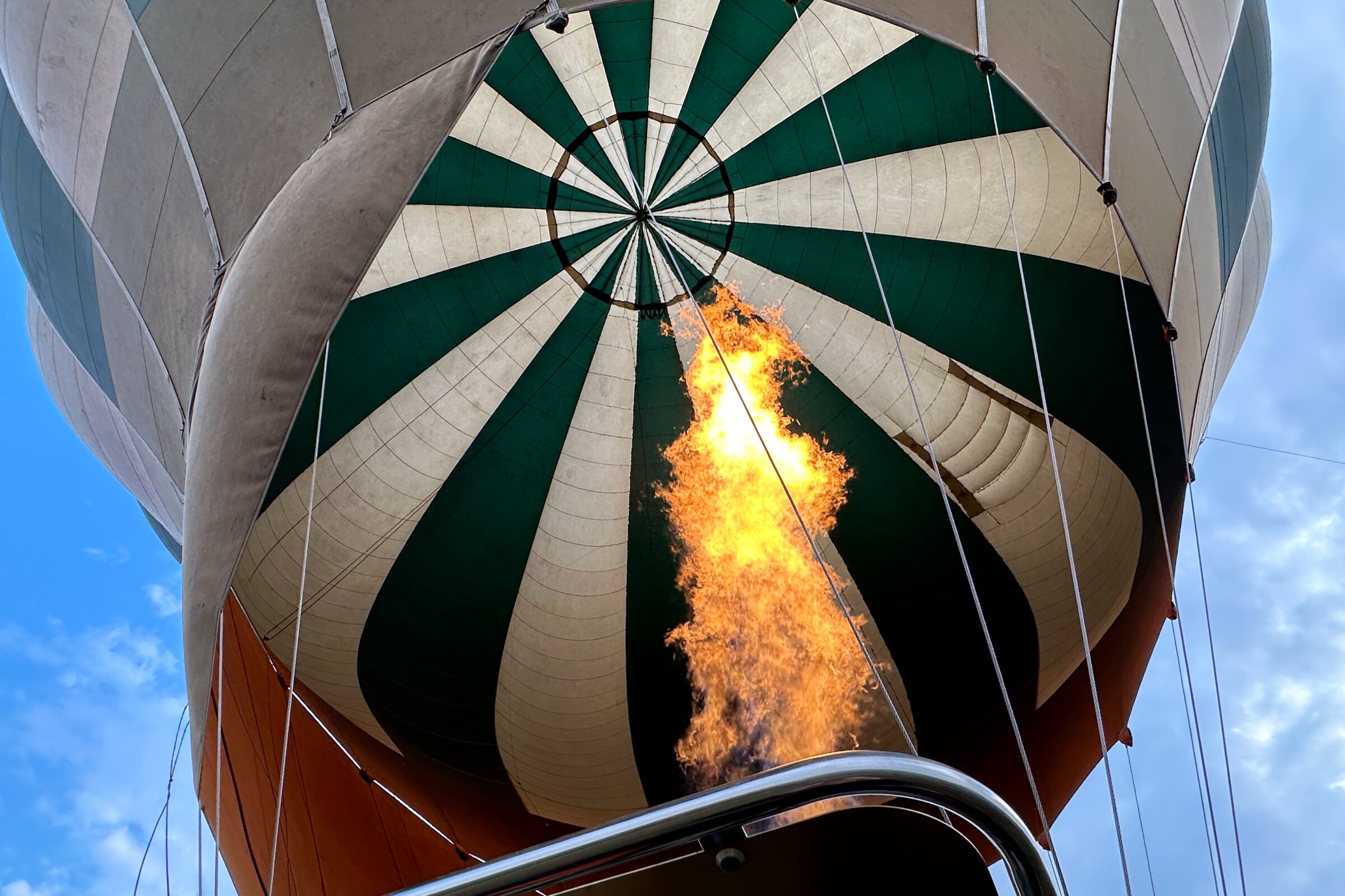
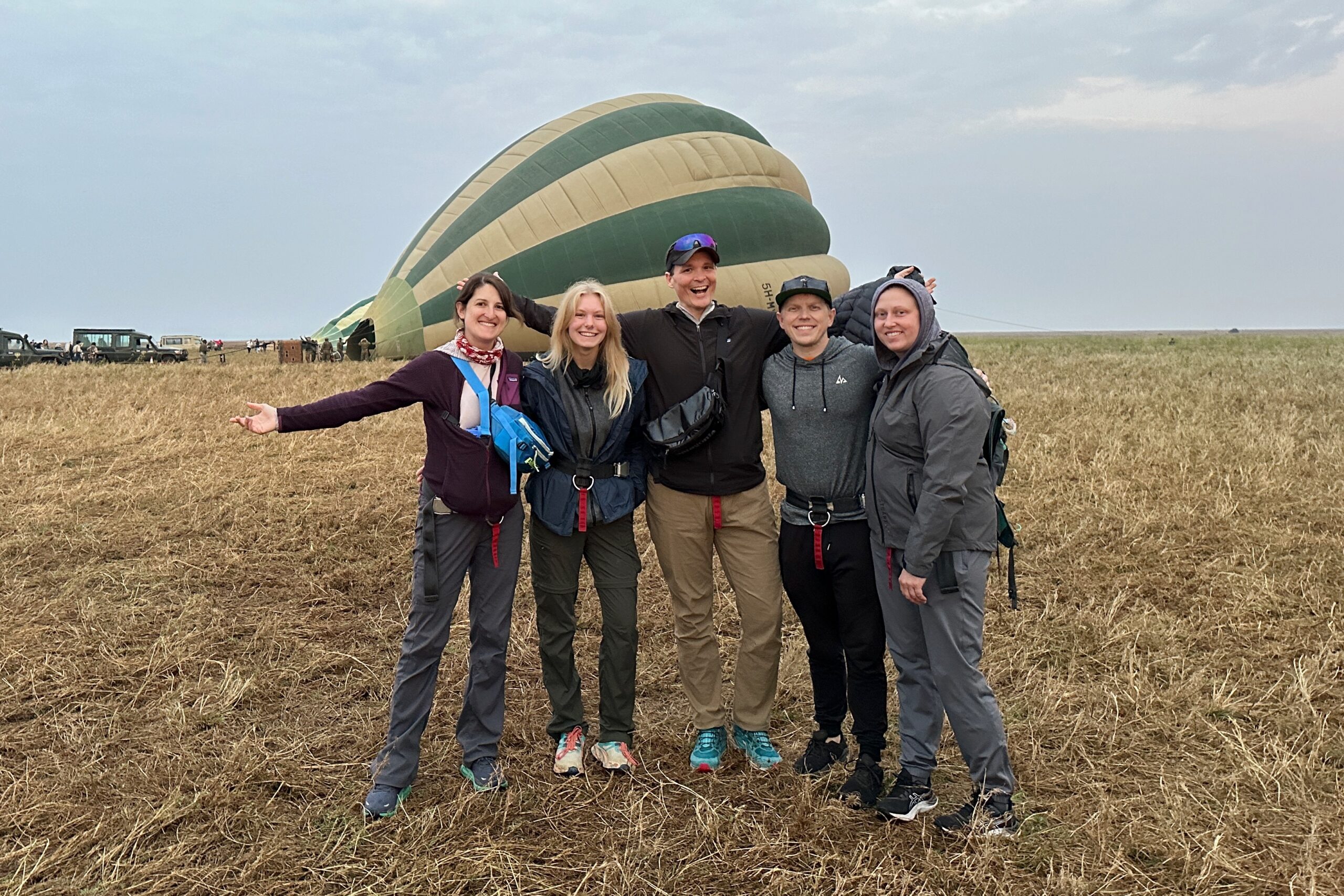
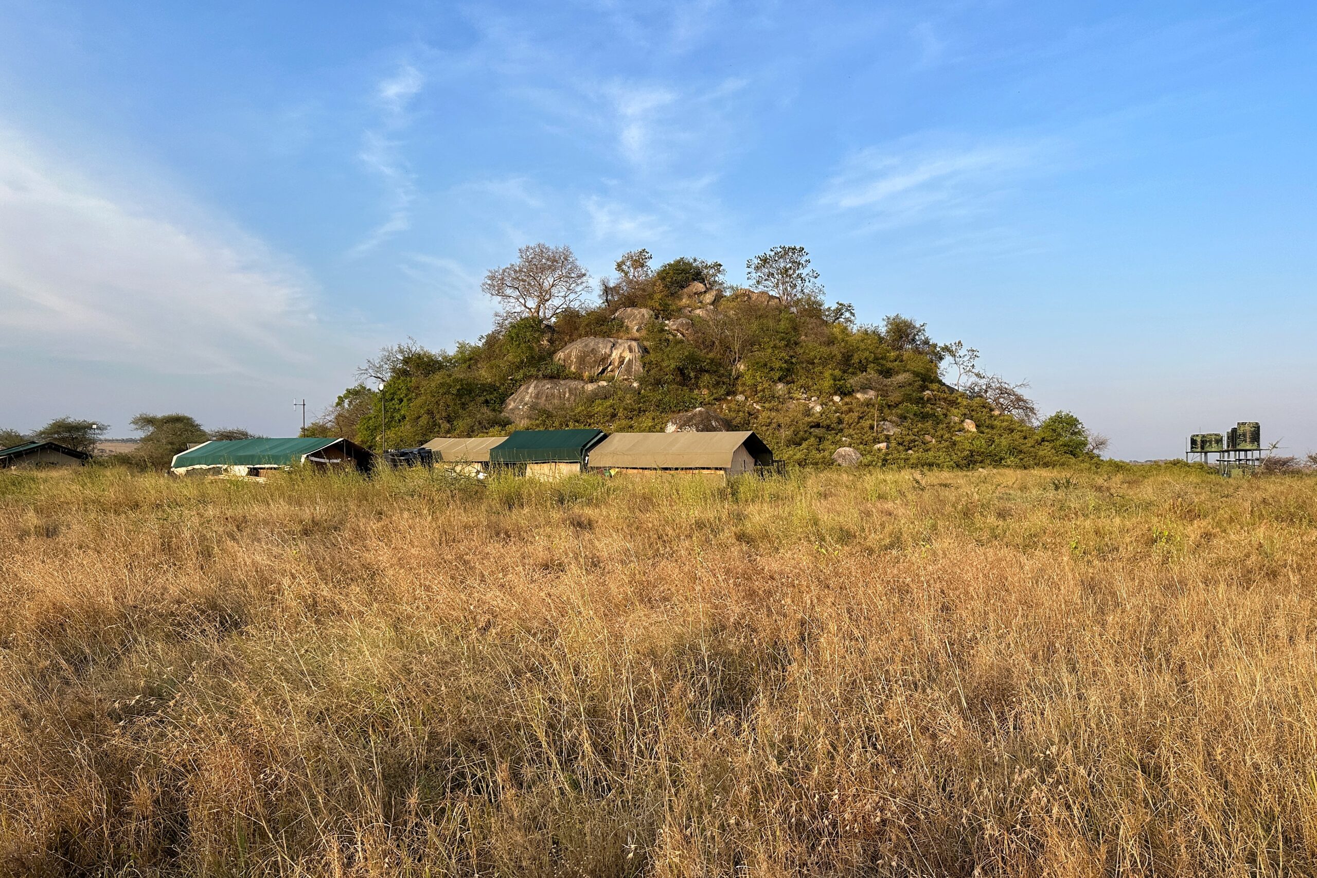
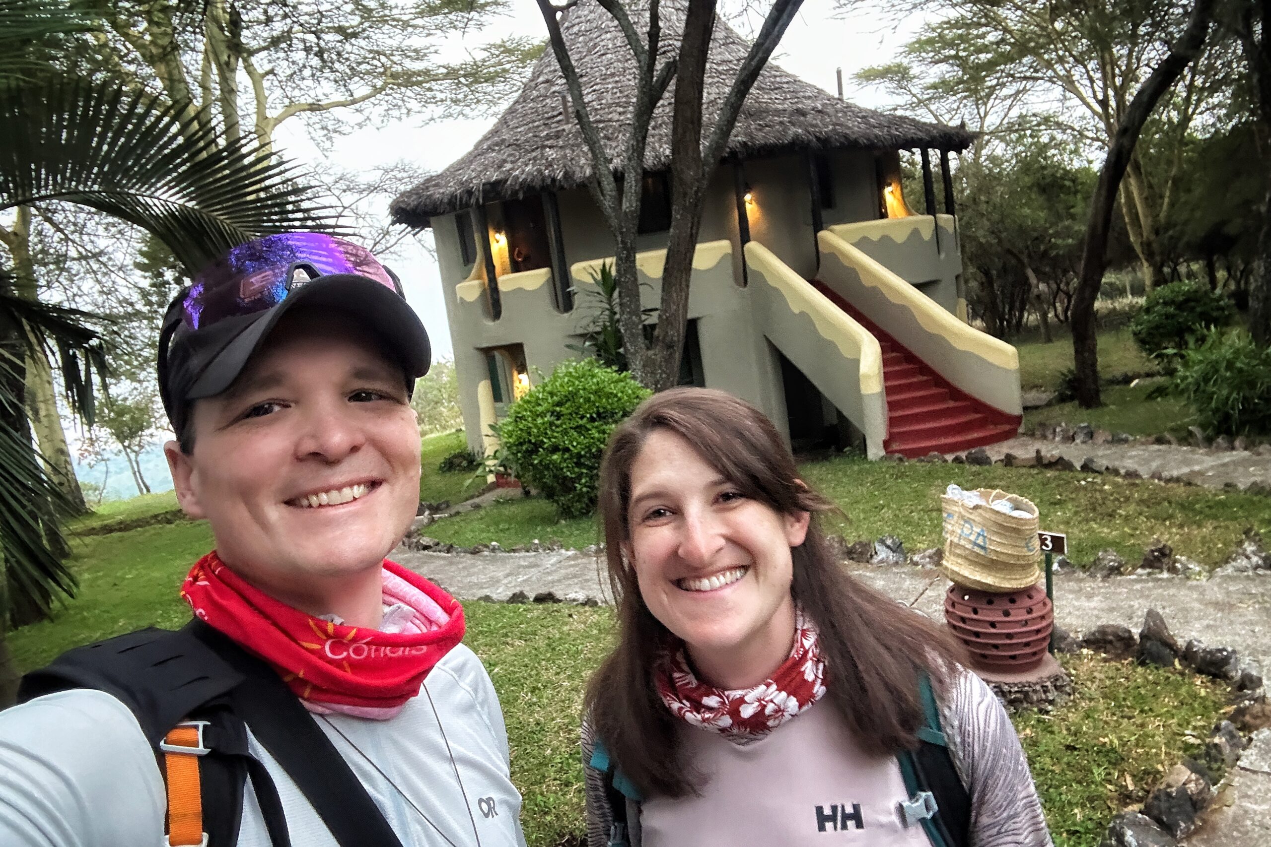
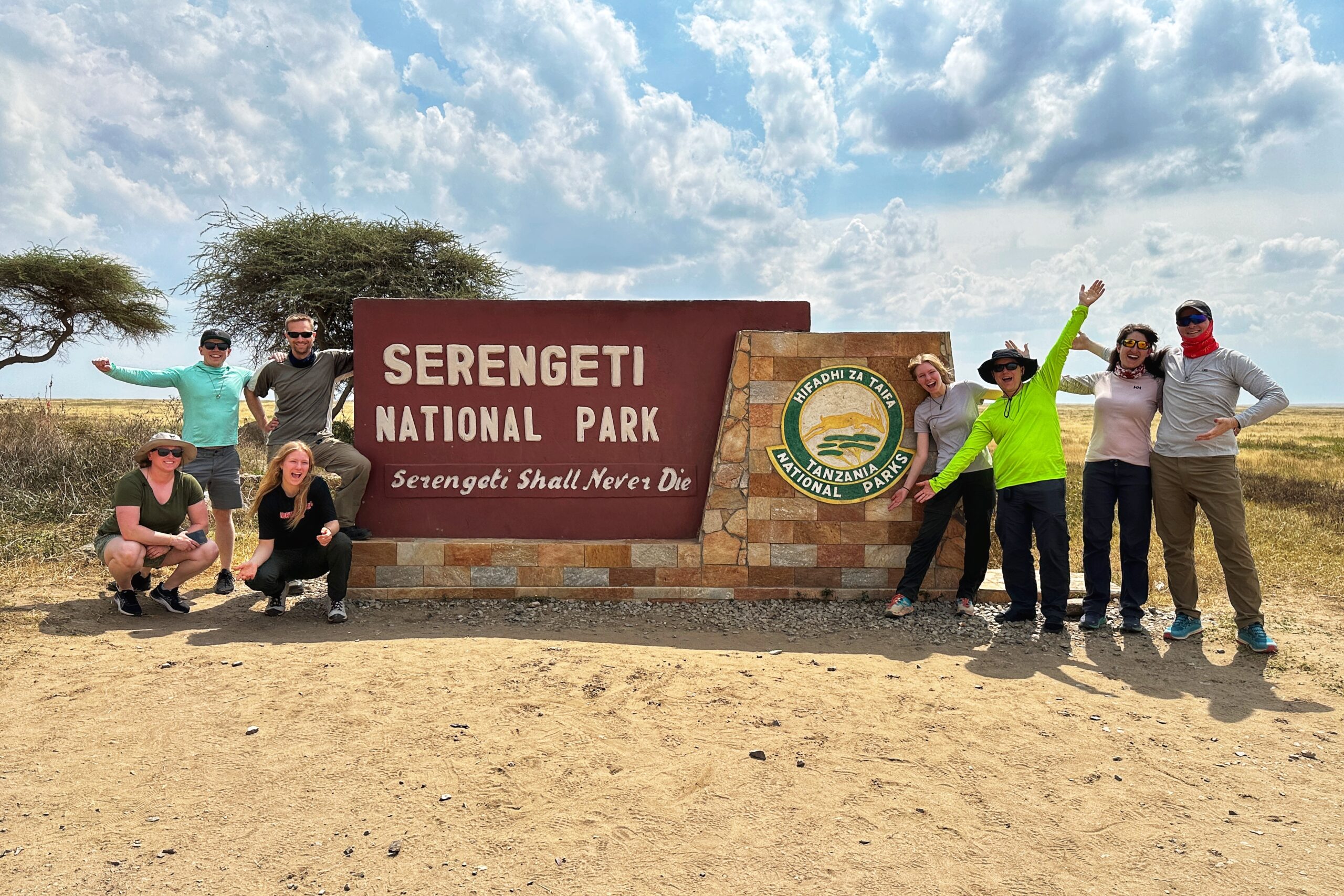
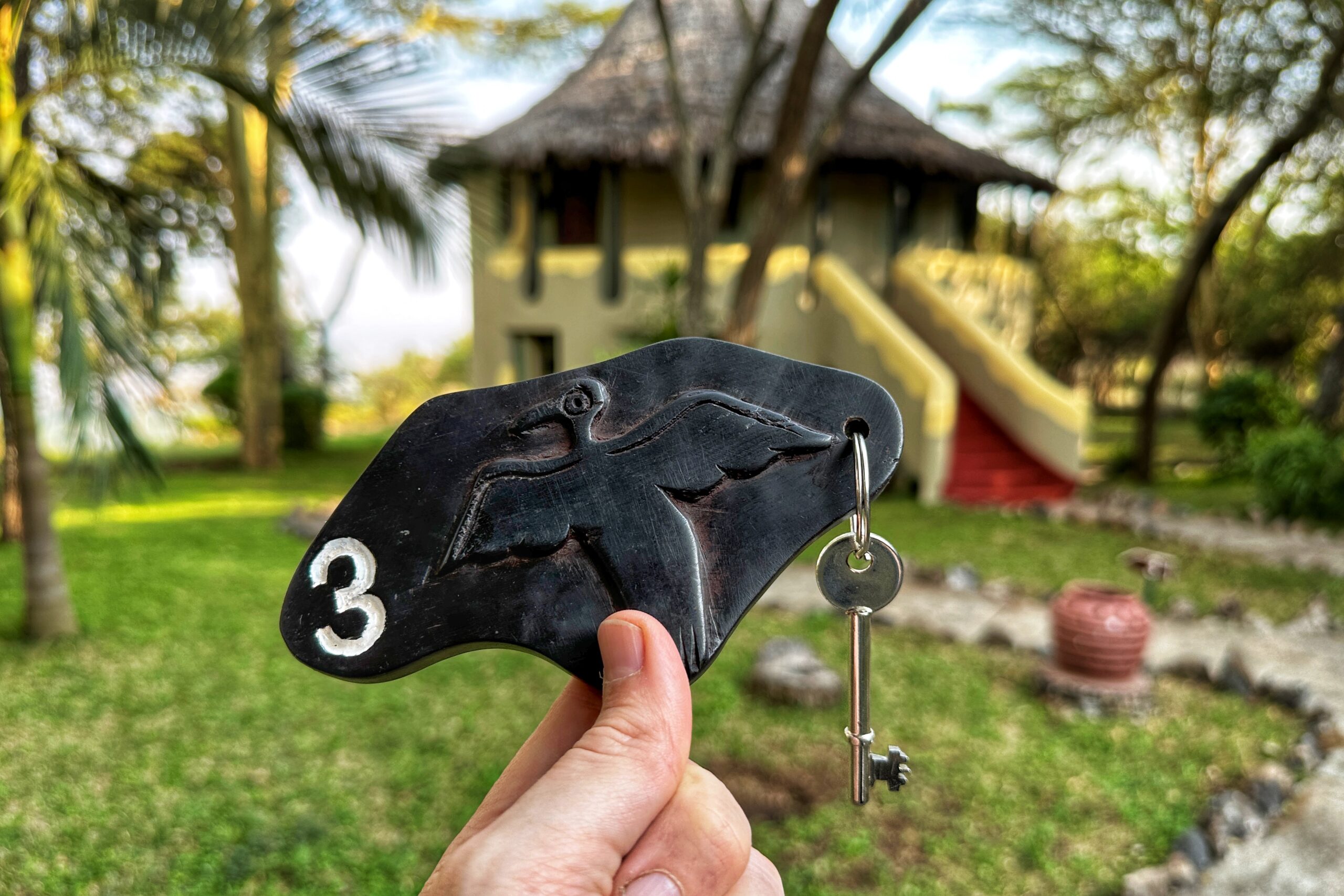
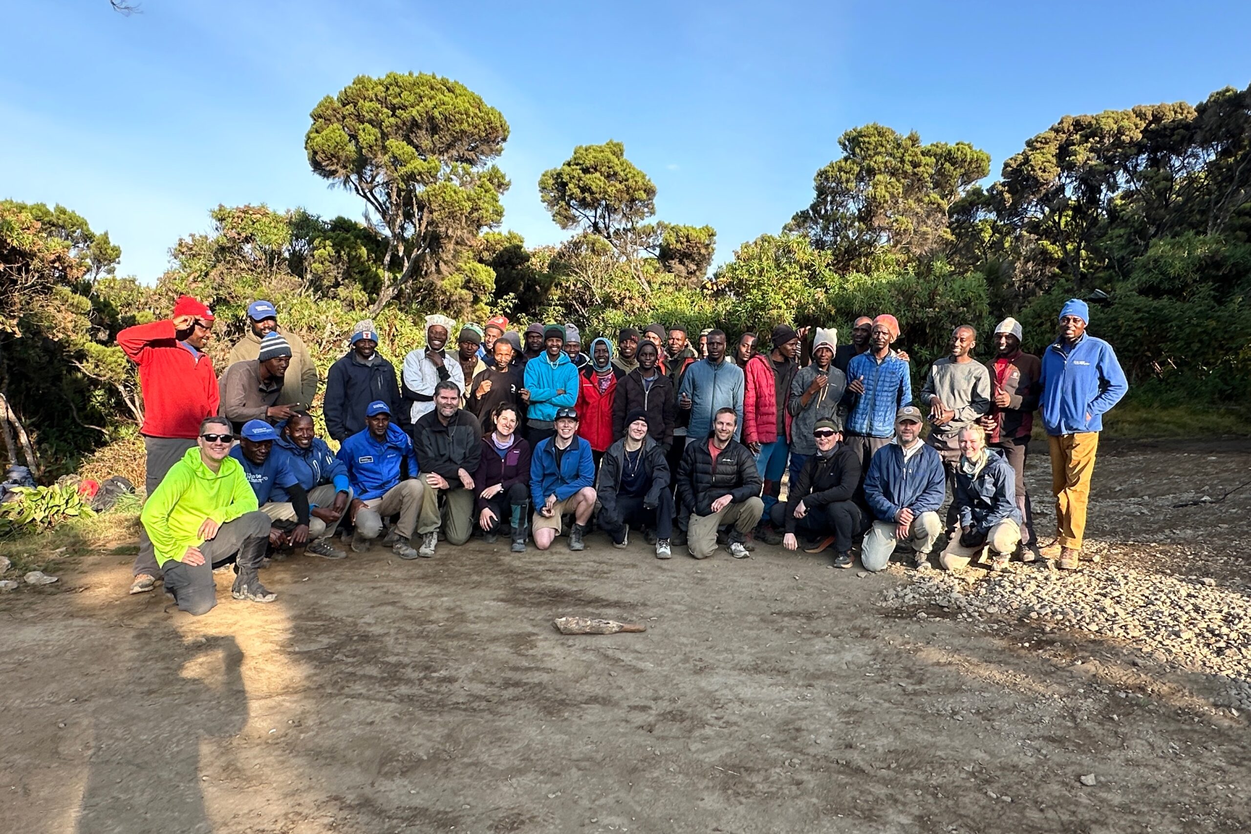
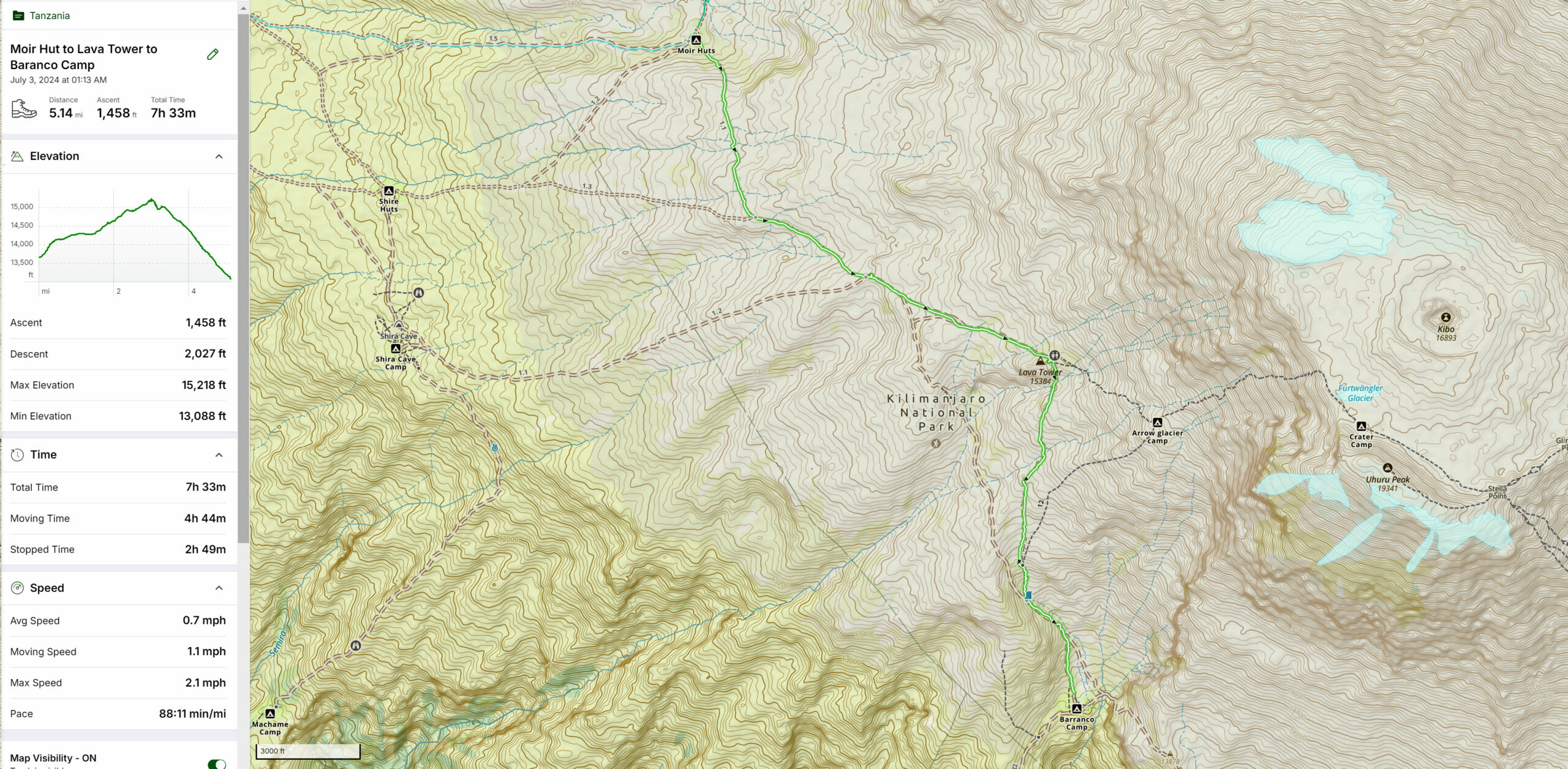
Day 14: Serengeti
Throughout the night we were reminded of our remote location by the local animal antagonists. Namely birds, water buffalo, and hyenas made their presence known with various grunts, calls, and howls. Good thing they haven’t figured out there are delicious humans inside these chewy canvas tents.
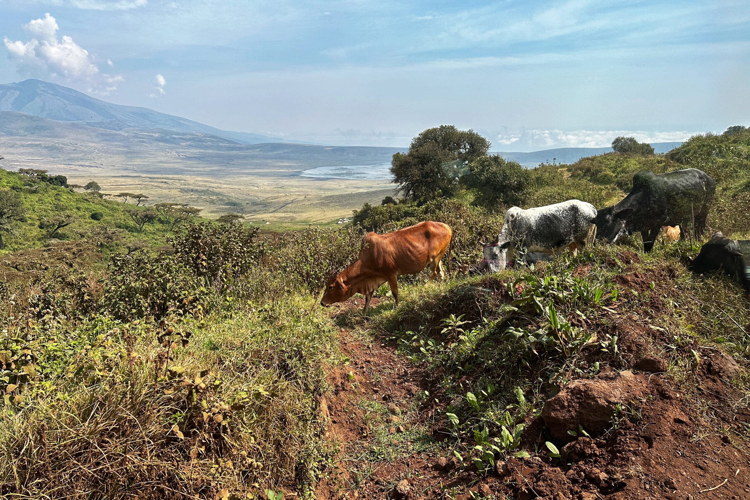
By the time we poked out heads outside to see the sunrise, most of the animals had piped down or moved away, but the water buffalo remained, happily grazing right outside our tent.

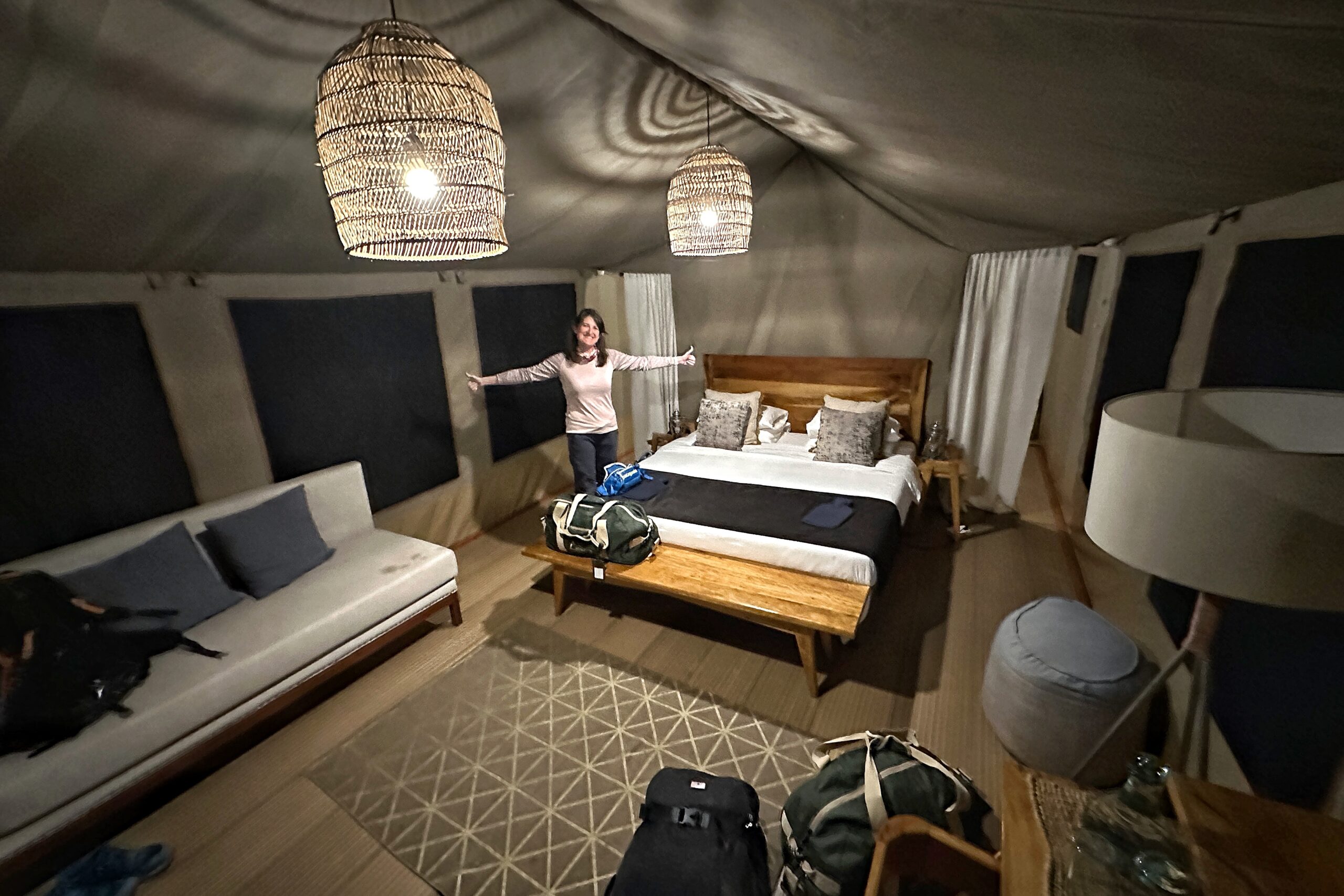
Ok, who was making all that noise out here last night?
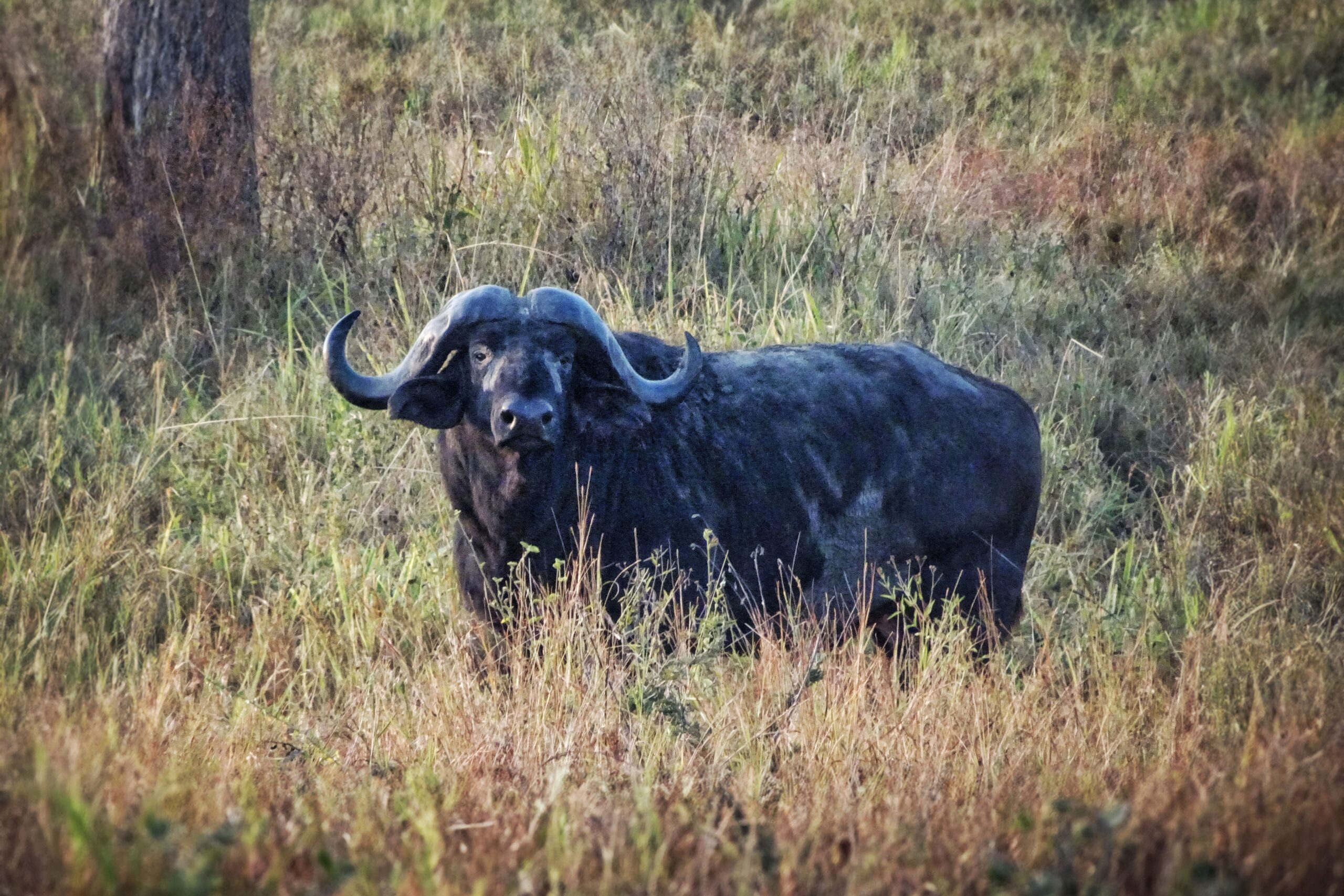
Friendly water buffalo says hi!
Starting a bit earlier – around maybe 5:30am — Matt woke up and wasn’t feeling great. A fun mix of nausea, cold sweats, and an uneasy stomach was too much to overcome for a 6:30am Safari start time. So he opted to stay put in the tent and bid the group farewell for the day.
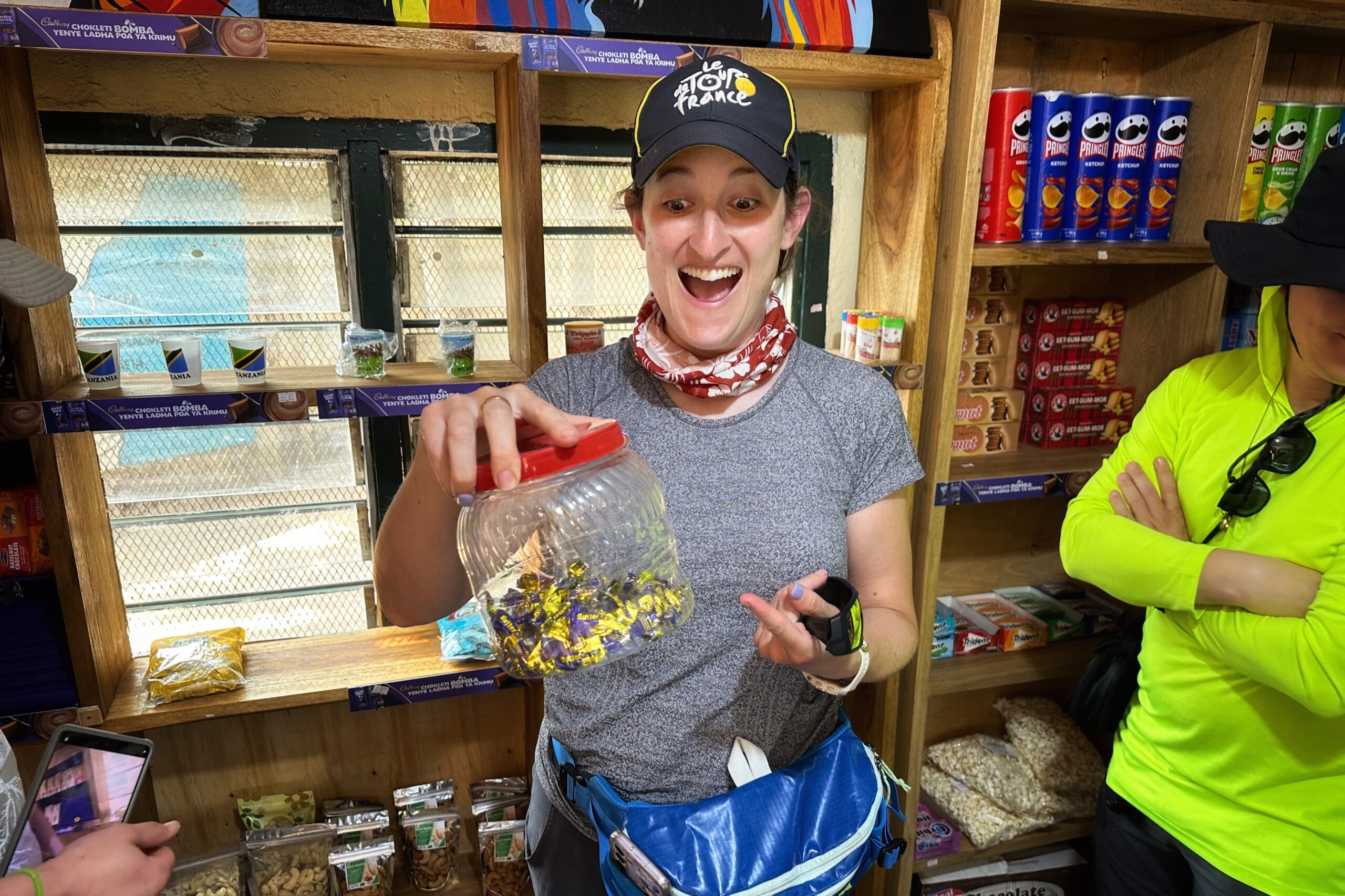
Honestly, is being sick fun? No! But is being able to sleep it off in a comfy tent in the middle of the Serengeti fun? Yeah, sorta. Just a bummer when you wake up around noon, and they offer you chocolate ice cream, but you have to decline because there’s no way your stomach is ready for that.
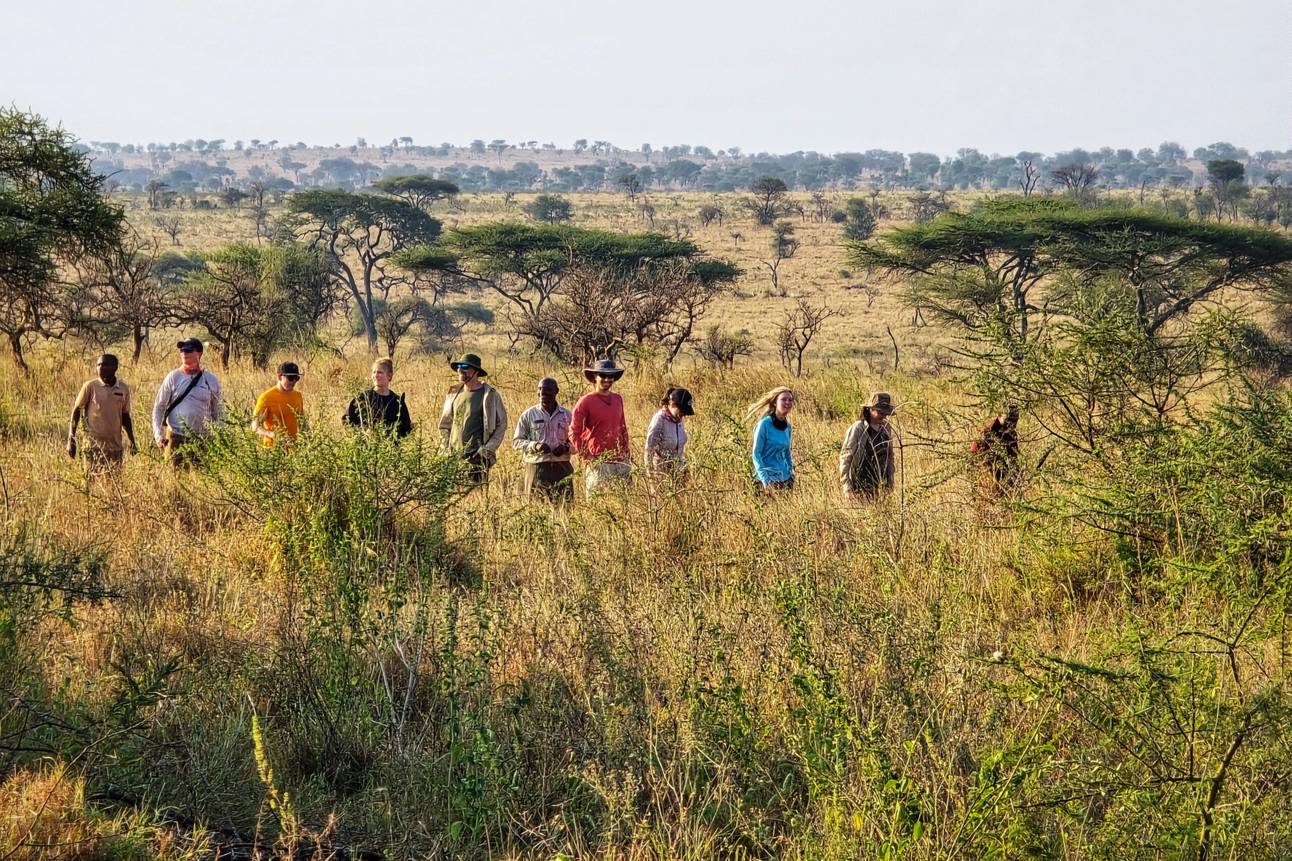
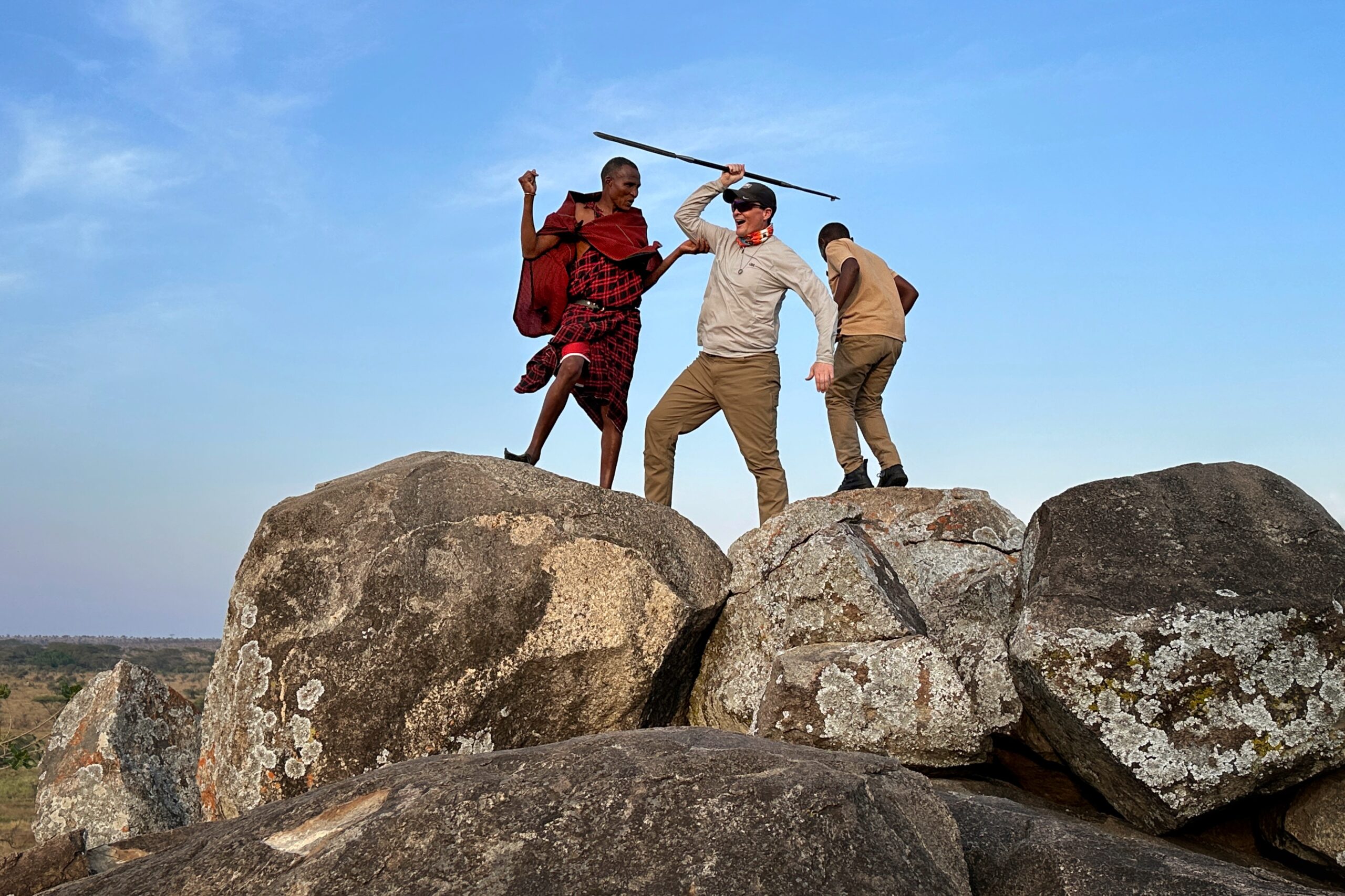
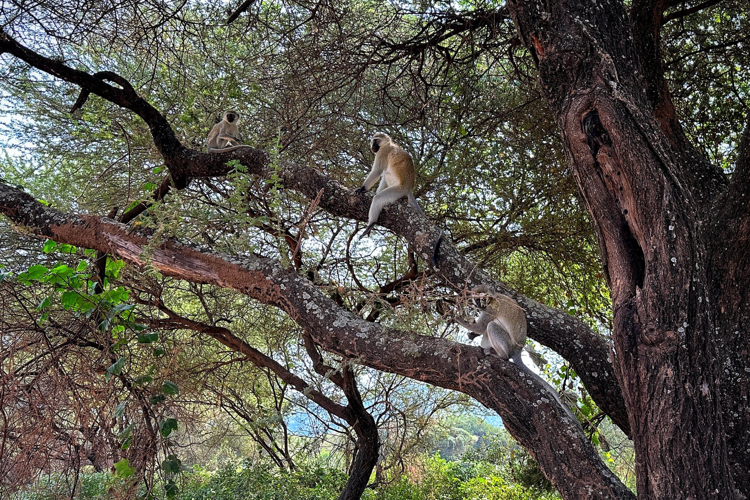
Meanwhile, the rest of the gang marched off to the dining tent with security details, and spotted a colony of hyrax along the way. Fun fact, a hyrax is a small (4-12 pounds) rodent looking animal that is actually a mammal and the closest relative to elephants.
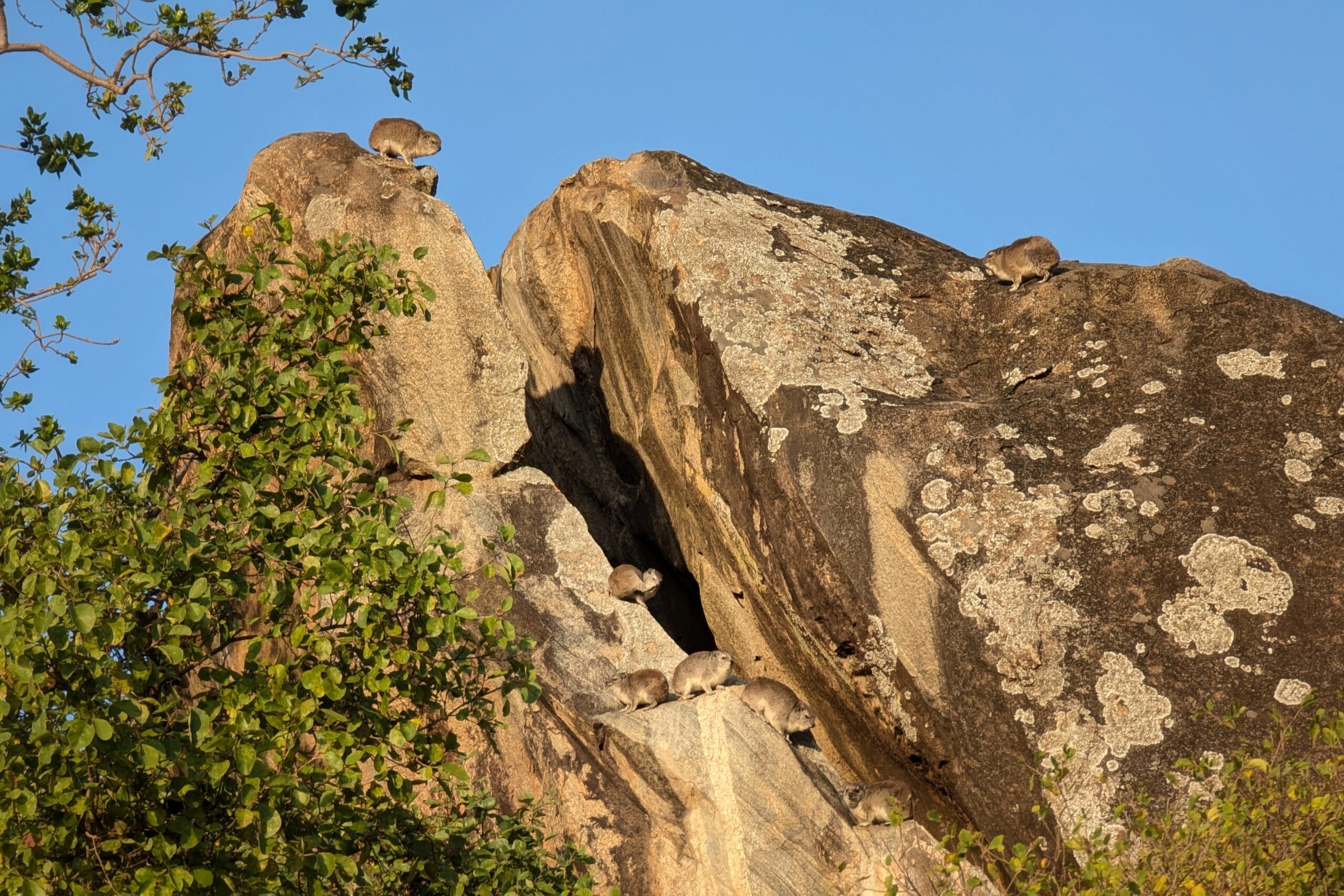
The Colony of Hyrax on High Rocks is a little-known Dr. Seuss Book
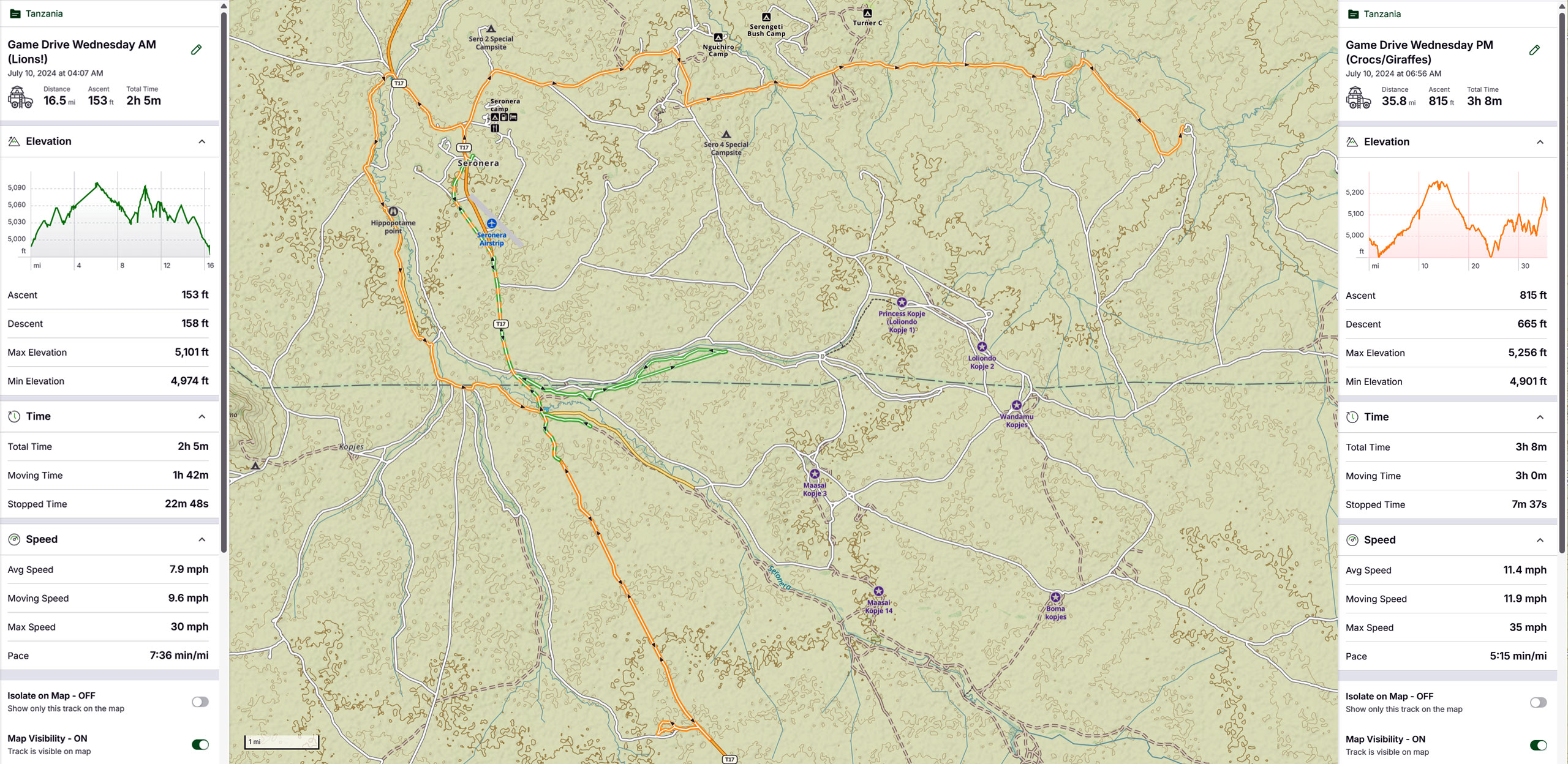
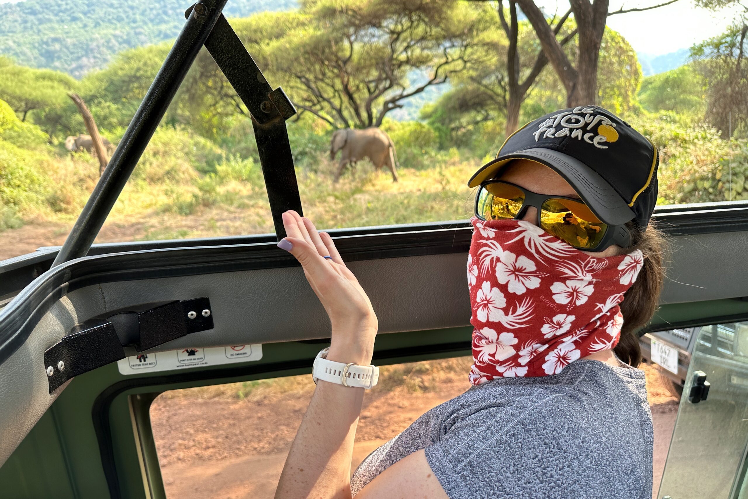
After a delicious breakfast, we met Juma and Aidano to start one last game drive in the Serengeti. Today’s plan was to head to the east area of the park, known as a popular hang out location for the big cats. (Blog Note: without Matt on today’s excursion, we have no map, so you’ll need to trust this author’s conceptual understanding of cardinal directions. Or use your imagination.)
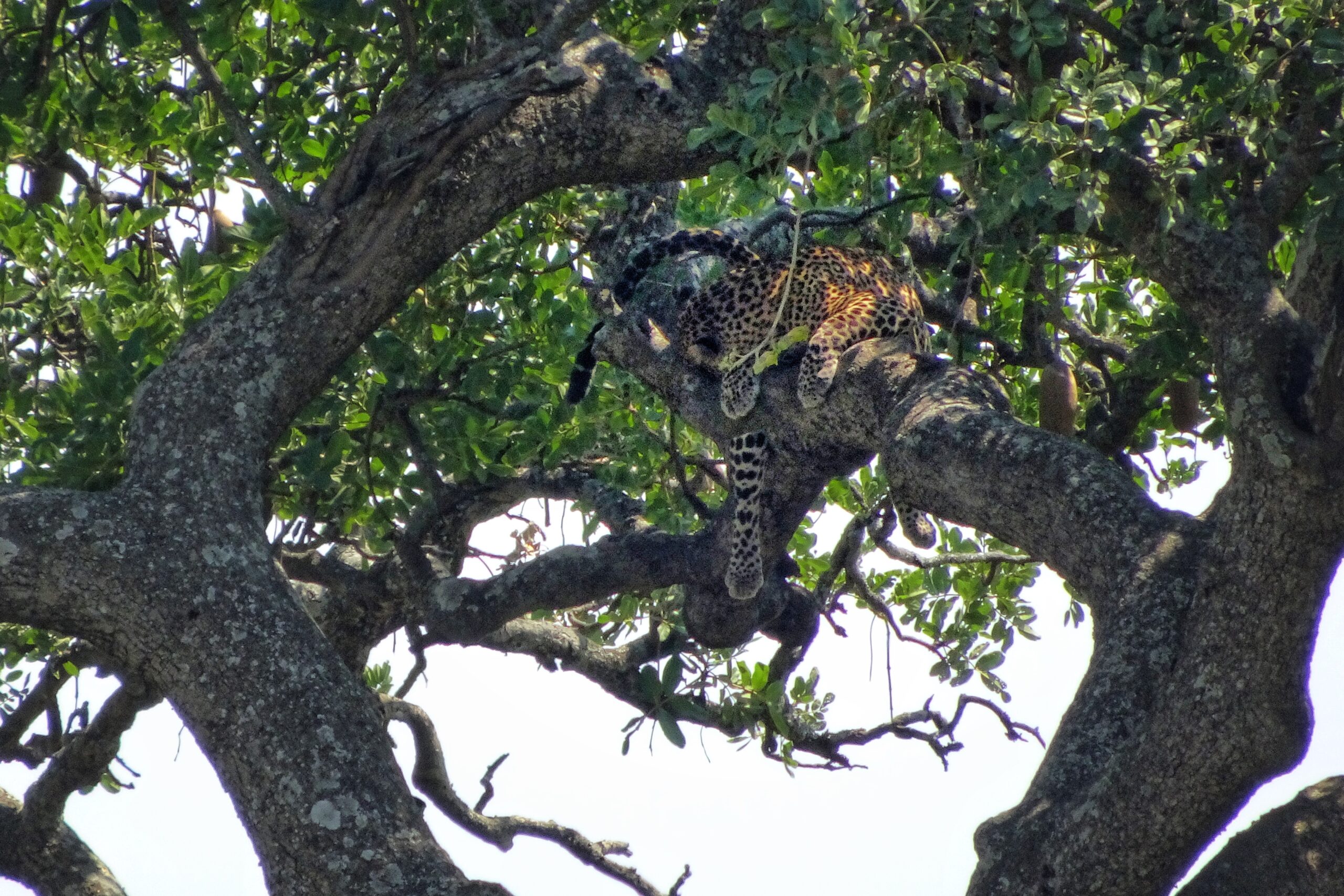
About 10 minutes after heading out, “big cat day” was an immediate success! We spotted a leopard (leopard pun!) walking around in the grass. Juma was extremely excited because in his six years as a safari guide, he has only seen leopards on the ground three times. In all other instance, he only saw them in trees — like the one we saw yesterday. It was very cool to watch.
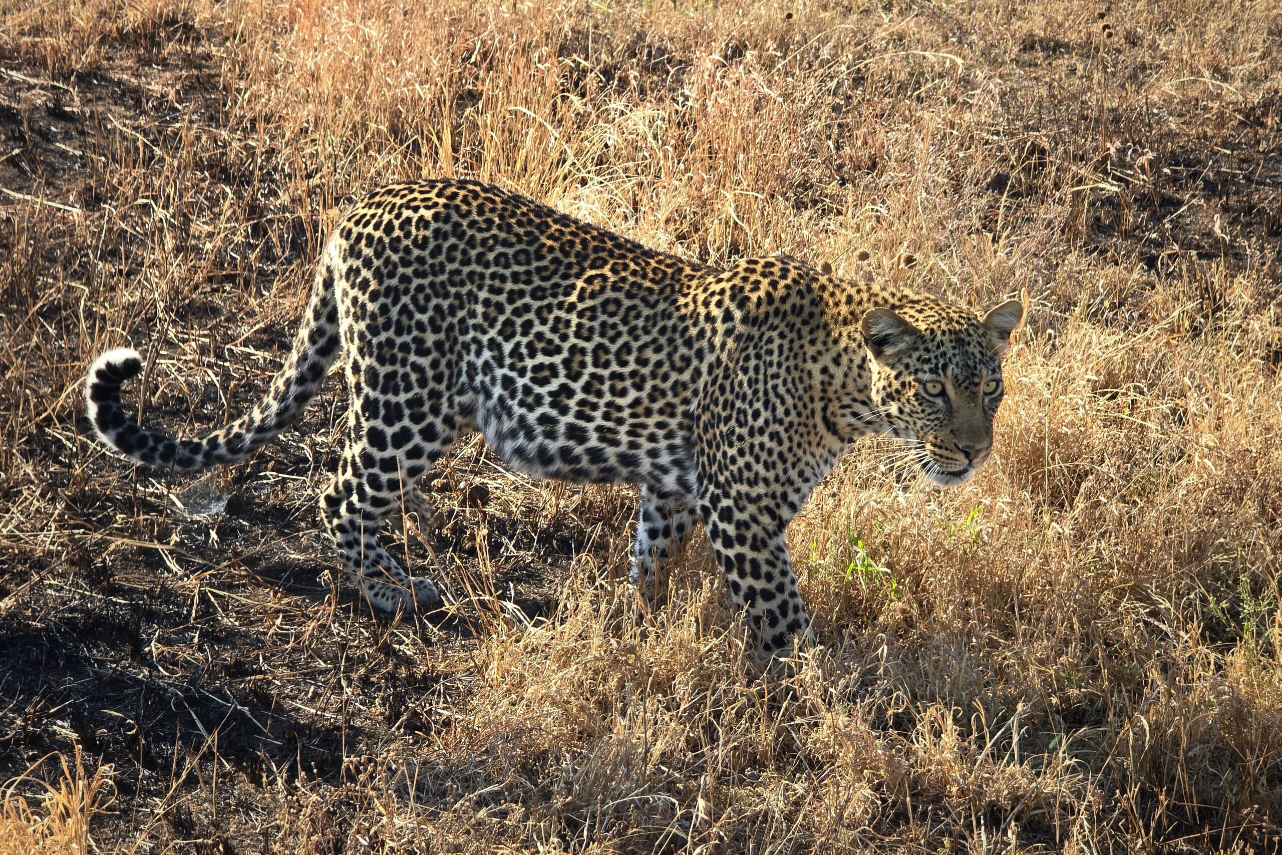
Leopard – you can tell because of the rosette pattern on the fur…
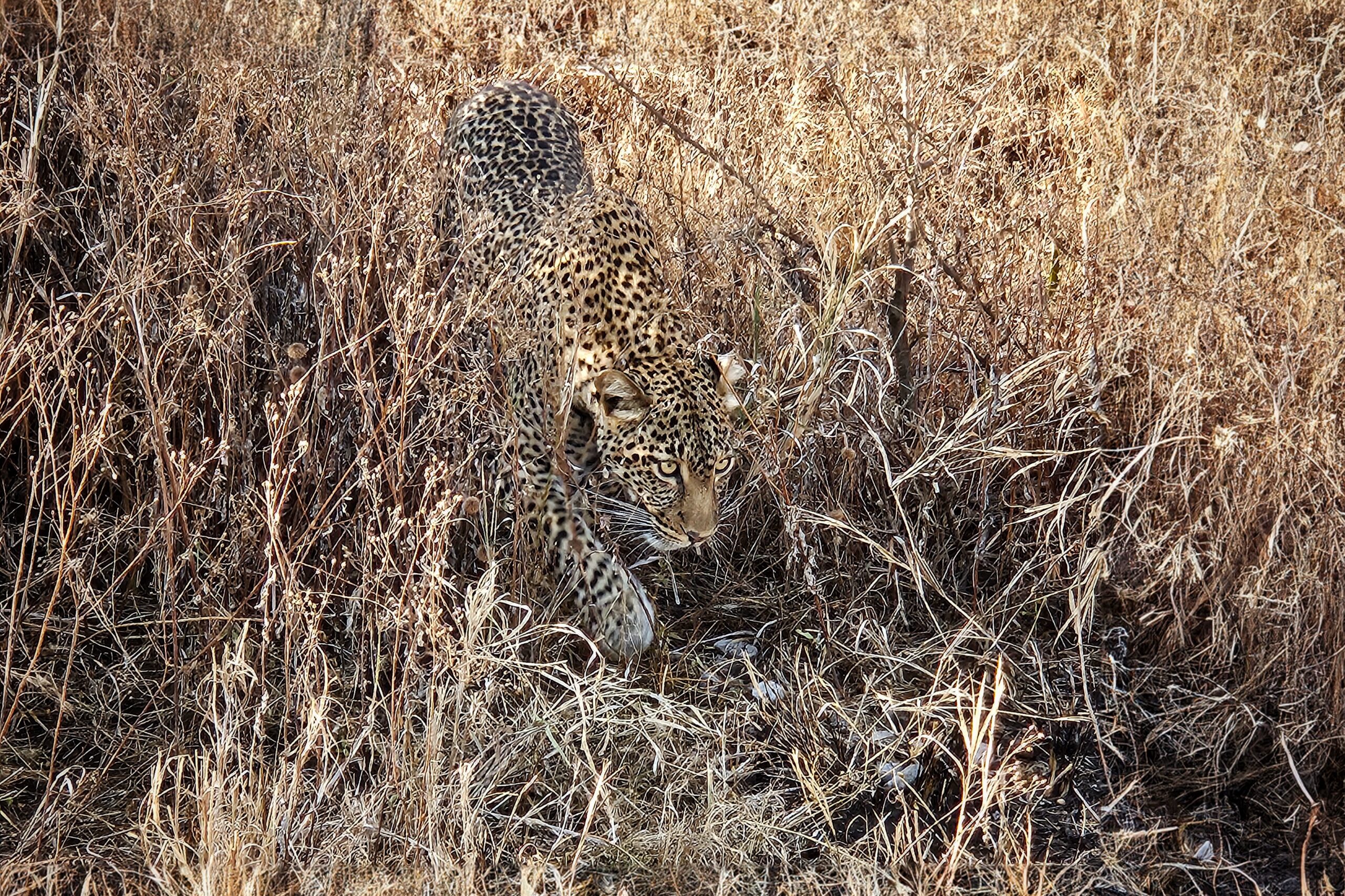
…which is better for camouflage
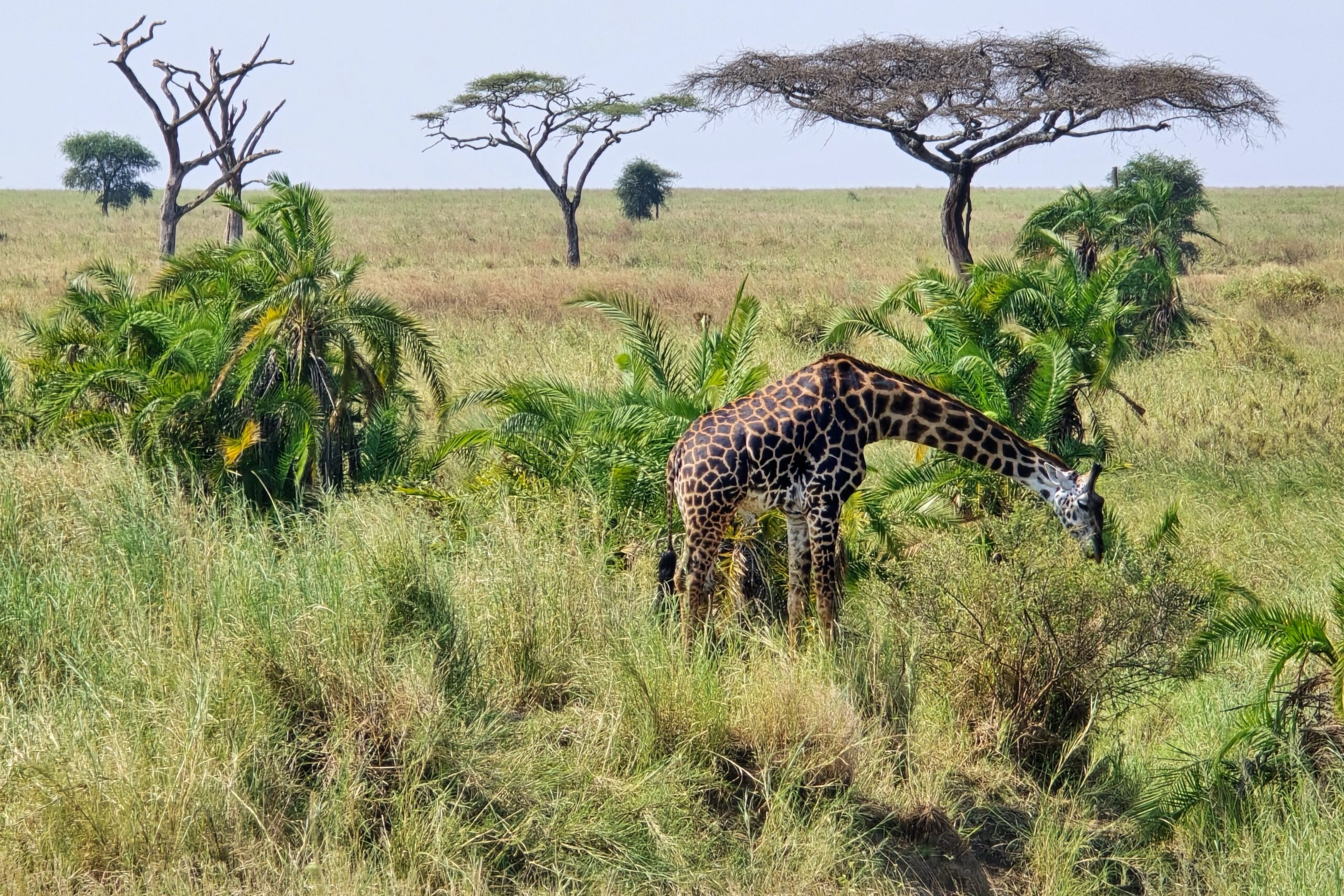
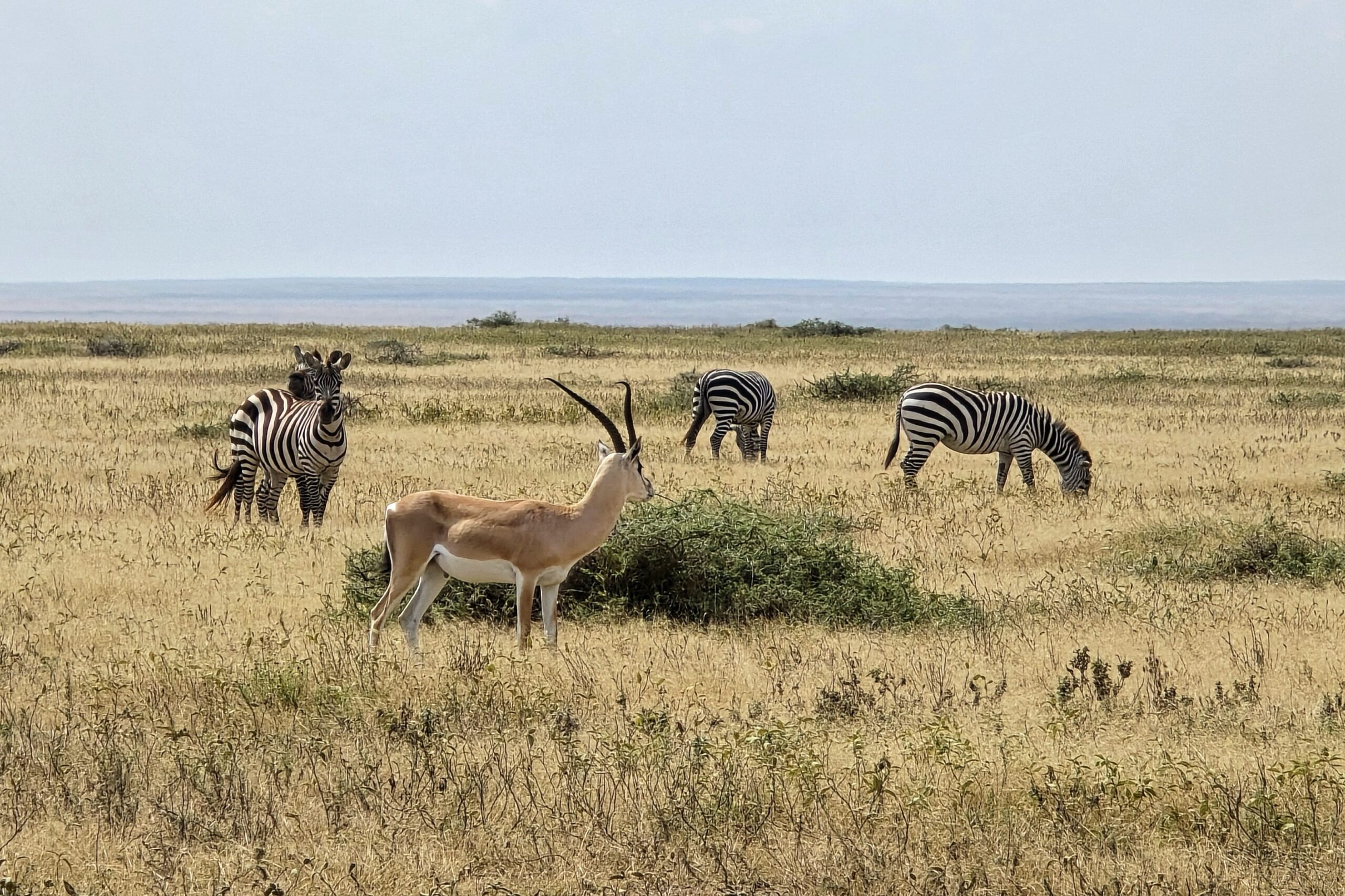
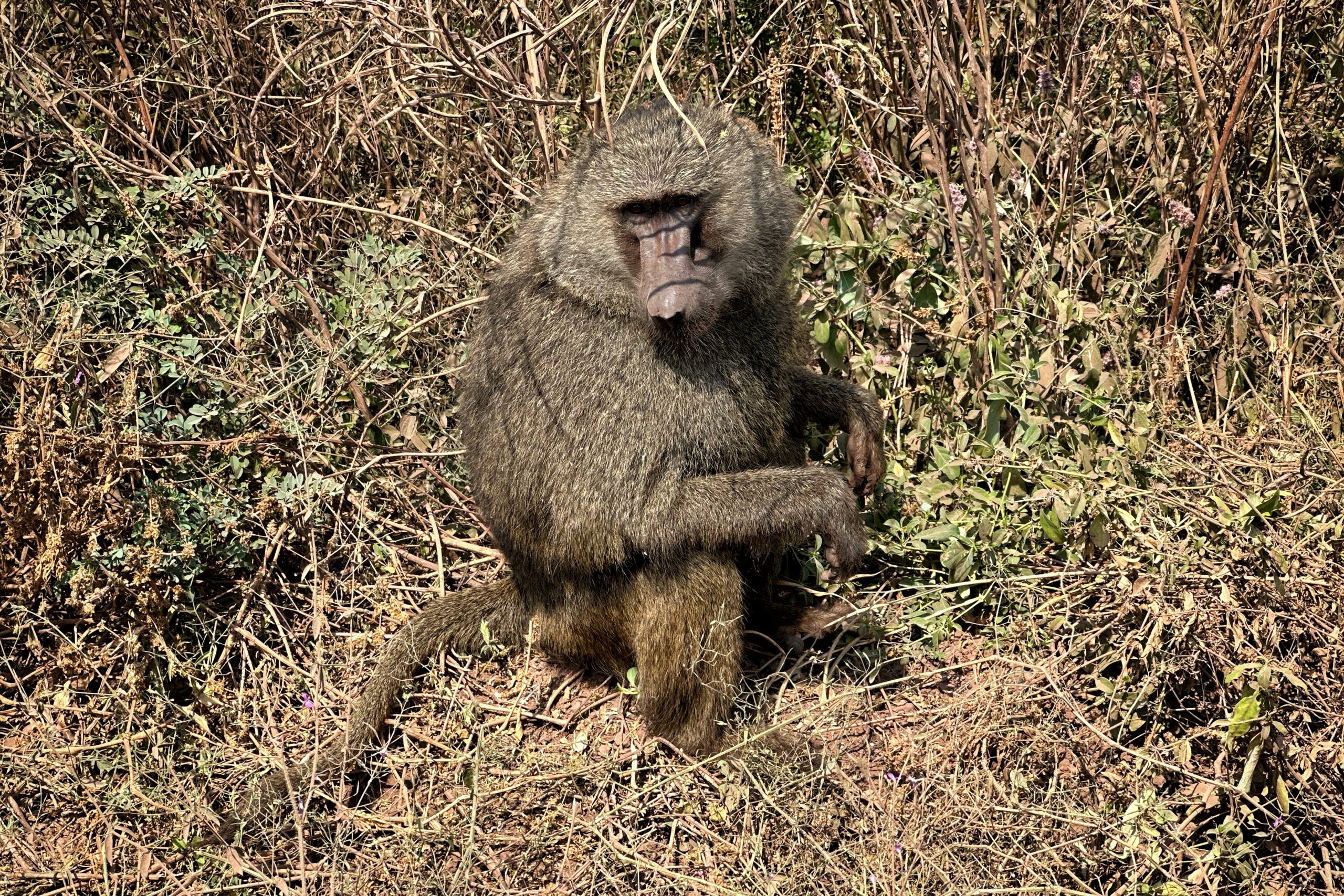
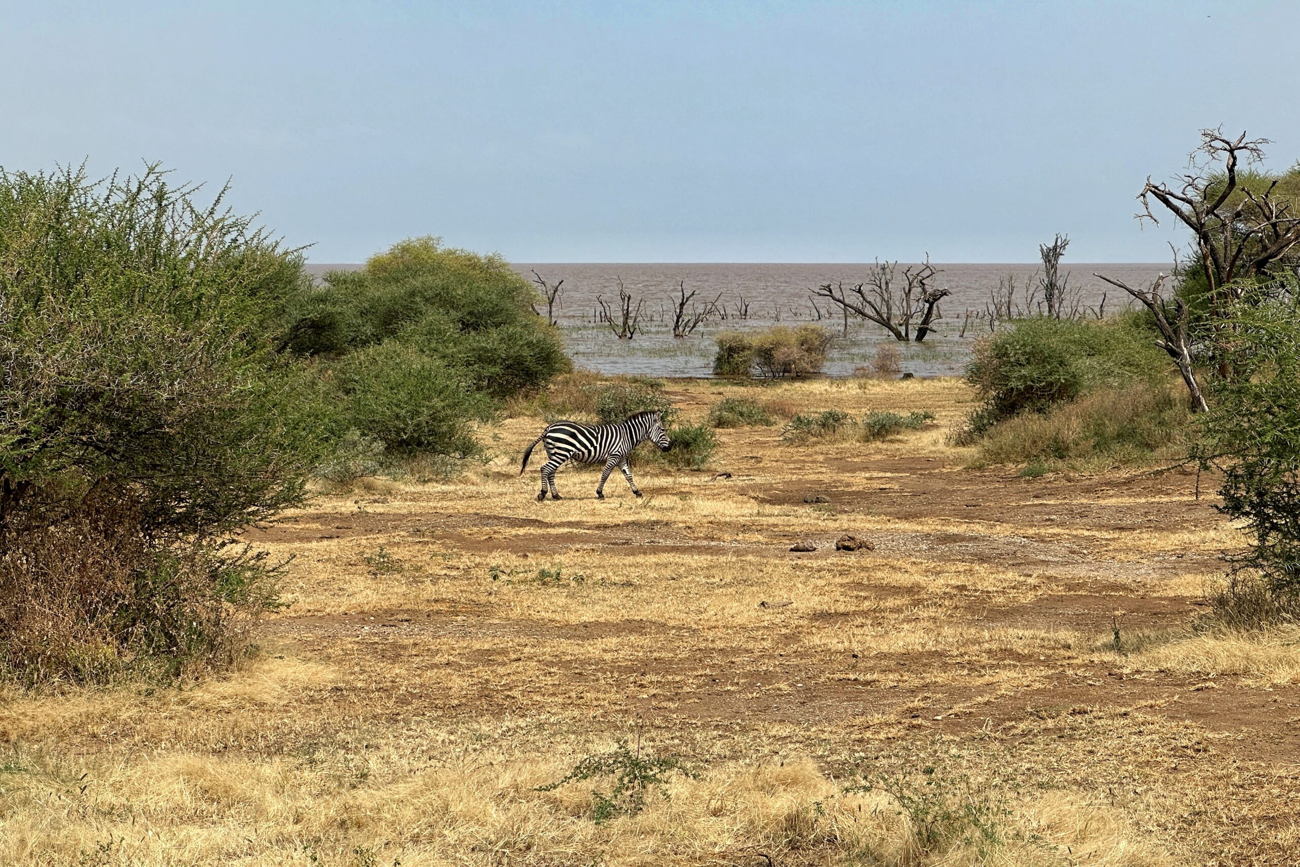
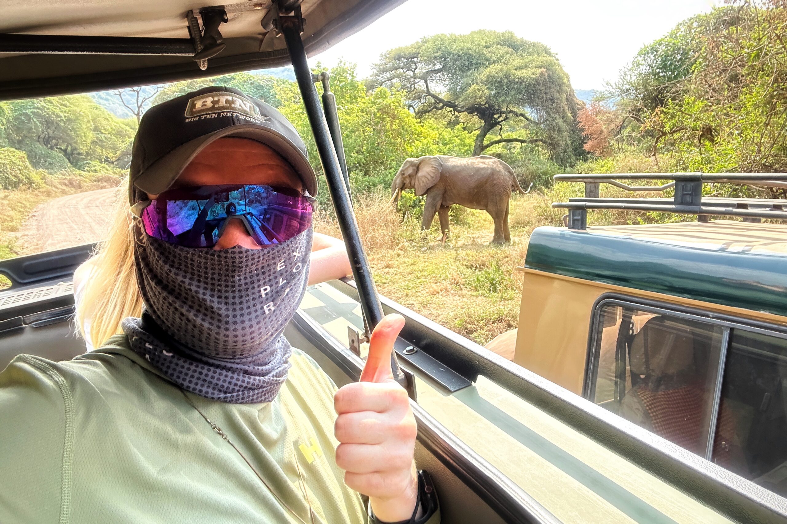
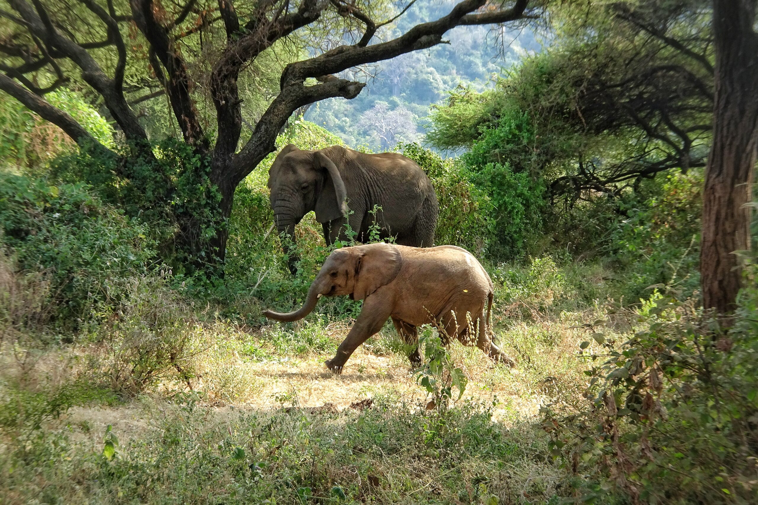
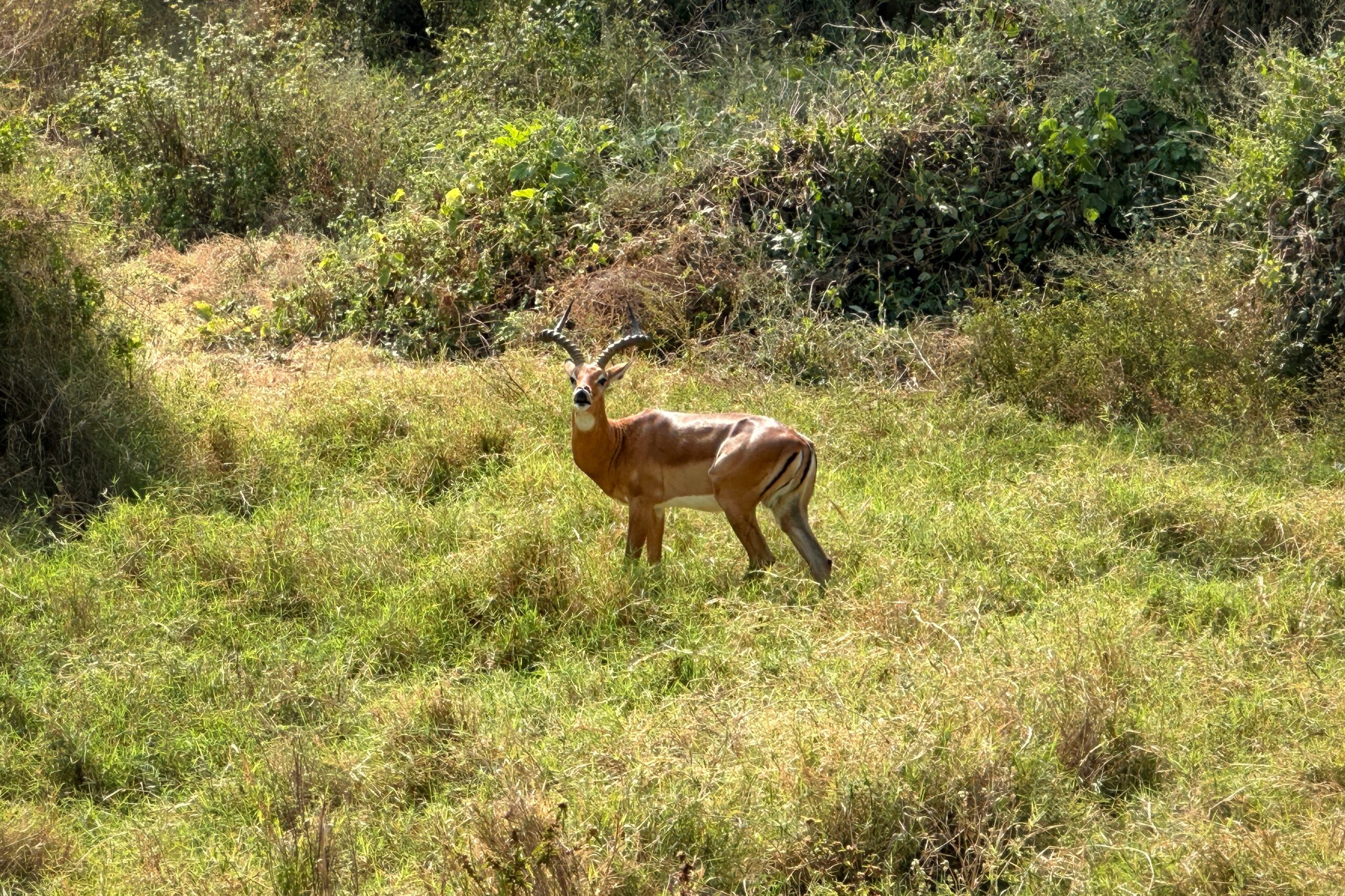
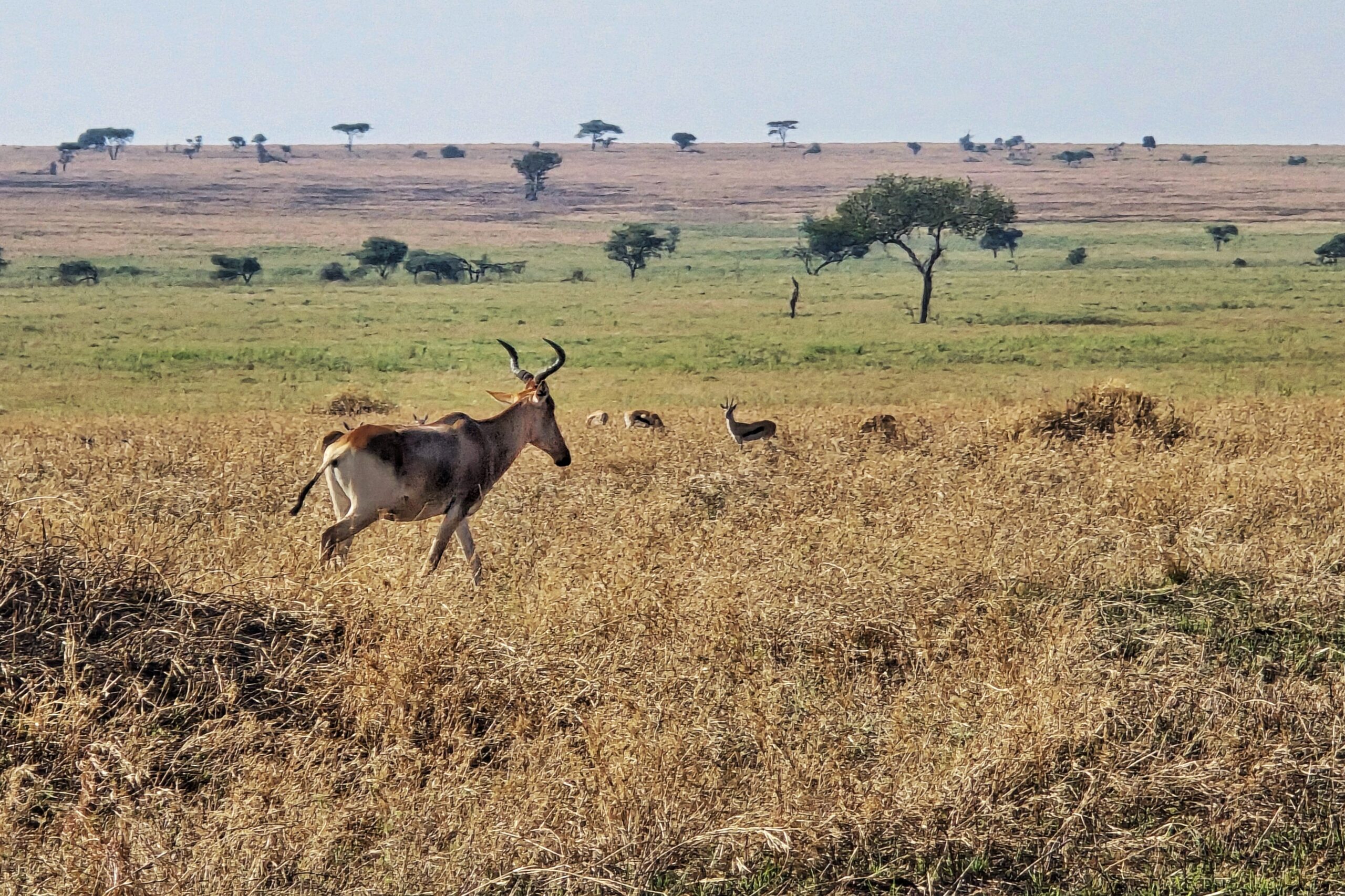
After our leopard wandered off into the Serengeti, we continued driving and saw more usual suspects, including elephants and impalas. These are not big cats, but we’ll allow it.
Impala out for his morning drive
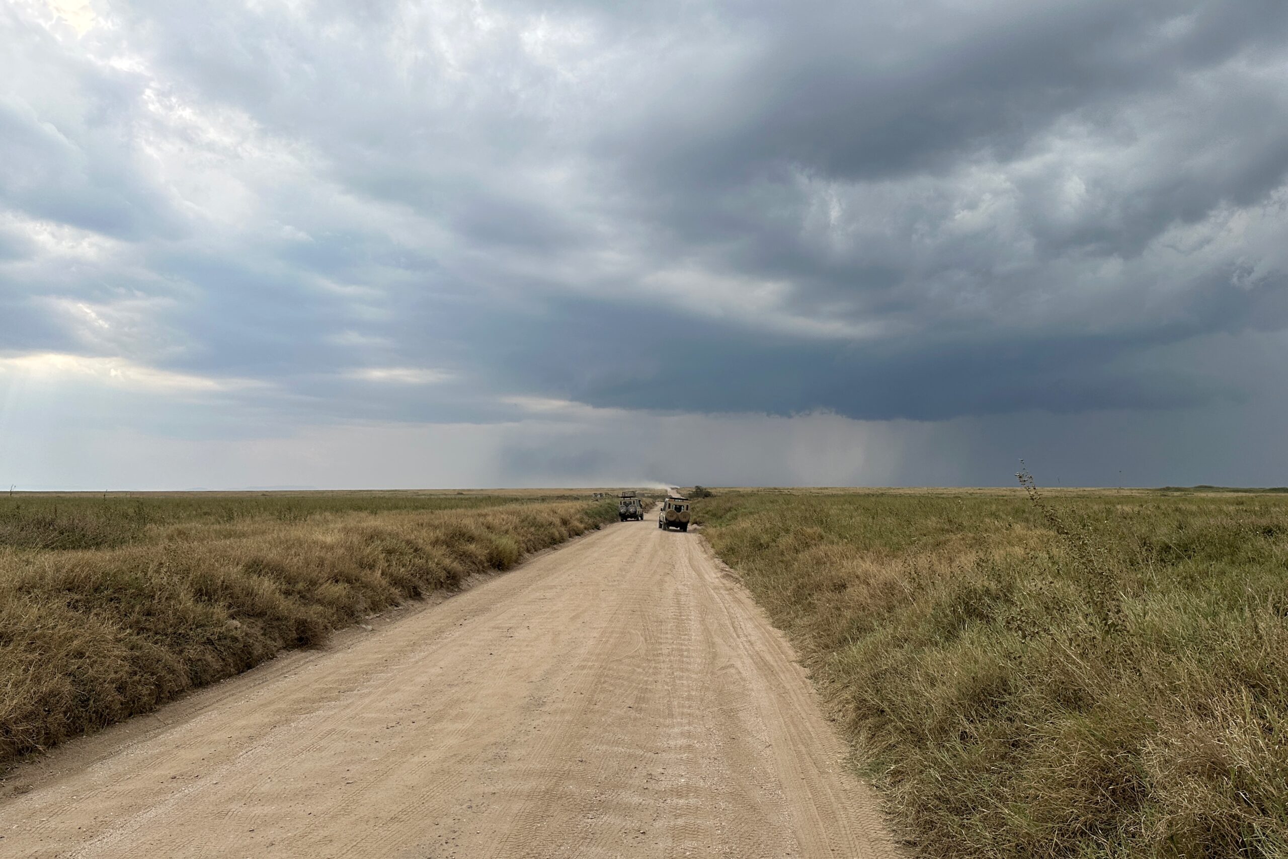
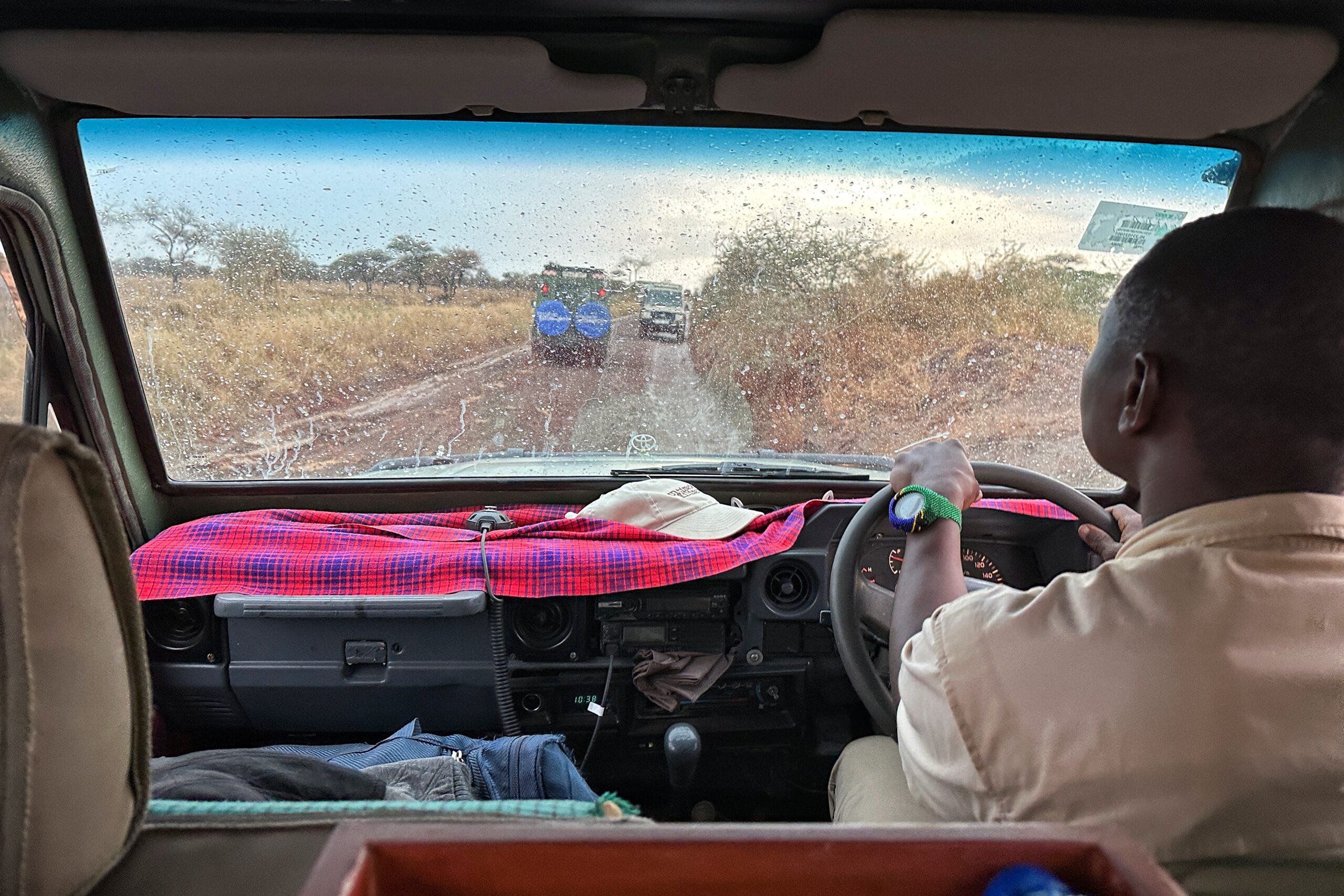
As the game drive continued, the recent rain showers created some drama for us on the Serengeti “roads”, where the combination of standing water and a parade of Land Cruisers is capable of developing some impressively large mud pits. Naturally, Juma’s truck got stuck in these mud pits not once, but TWICE (spoiler alert)!
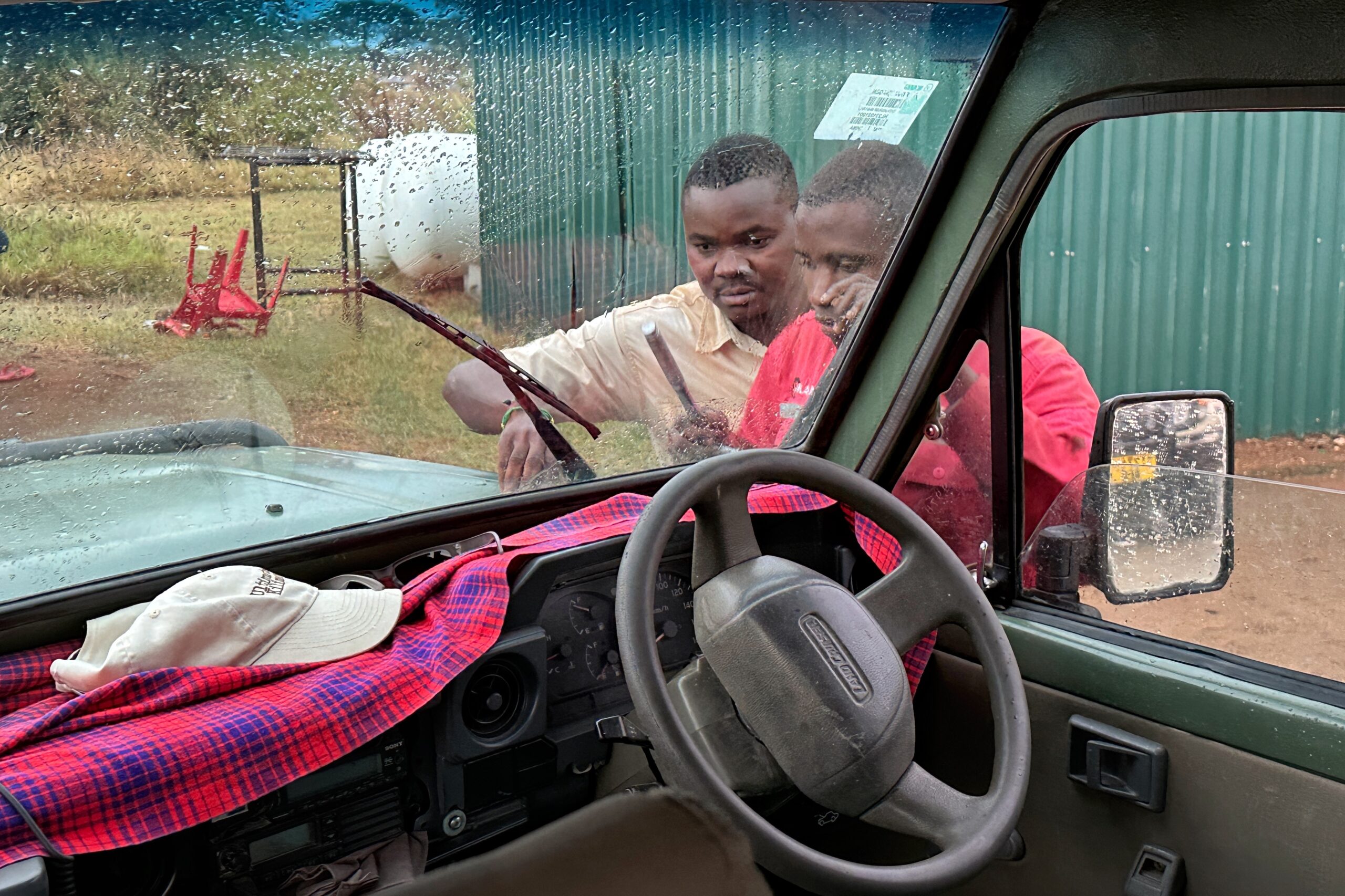
Was Juma stressed? Nah, not really. Even when we he later needed an assist from another car’s bumper to escape one of the quagmires, he looked like he was kinda having fun. Apparently 4-wheel drive is important here. And to be fair to Juma, it turns out his truck does NOT have 4-wheel drive. WHAT?!? (Well, maybe this is not too shocking for the same vehicle that currently has two broken windshield wipers, a snapped antenna, and a dash board that rattles harder than a magnitude 9.5 earthquake.)
Speaking of which, Adam has safari jokes too… “Glad I brought that nitroglycerin with me!” and “Hope you didn’t want your martini ONLY stirred!”
When we arrived in the east area of the park, we heard from other drivers that a cheetah has been spotted (cheetah pun!) near a fresh gazelle carcass. We followed the herds of cars and eventually saw it emerge from the tall grass. Our position was not ideal, so in a ballsy maneuver, Juma pulled off the car path and cut over some grass to get a better view. To quote Aidano watching Juma from the other car, “Oh no, that is not allowed.”
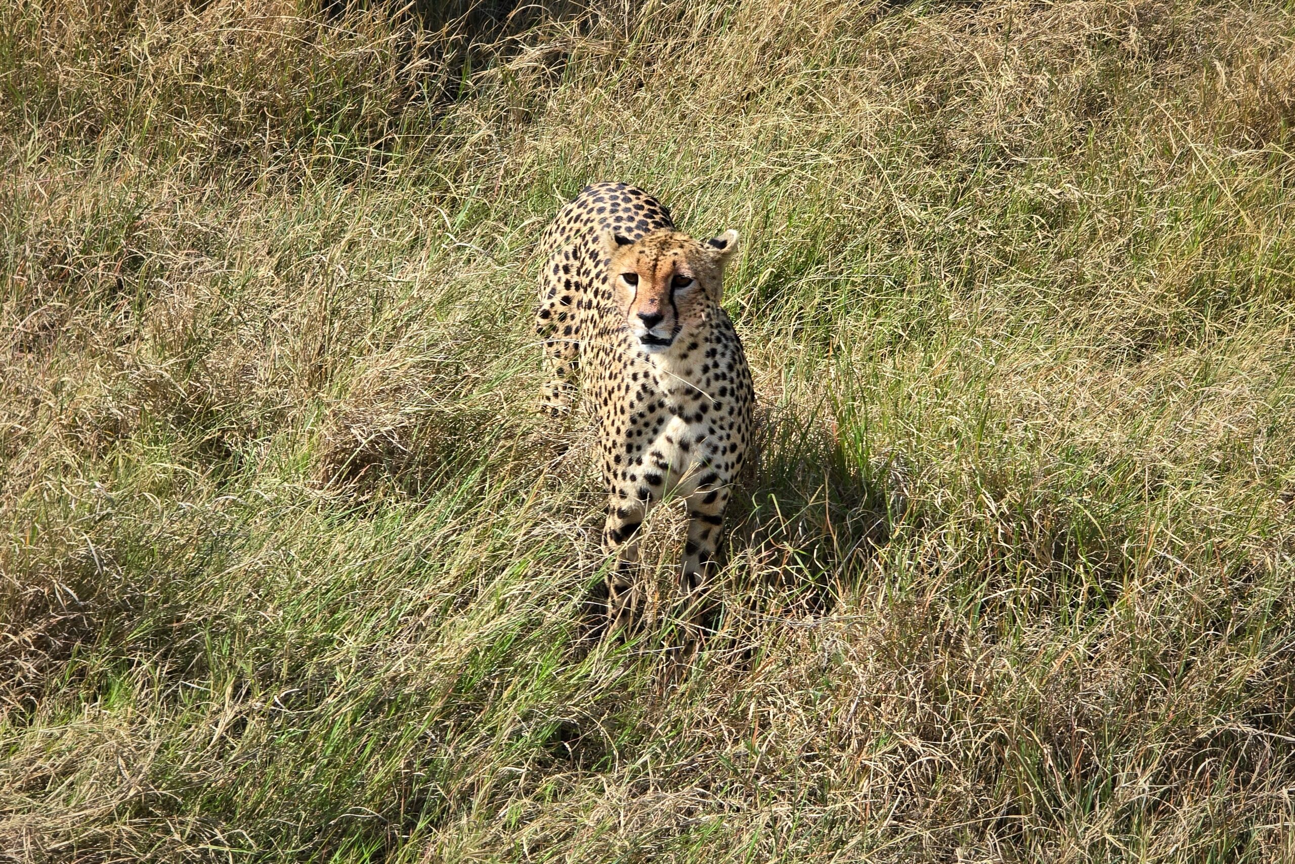
Cheetah – you can tell by the simple spots and black tear stripe on the face
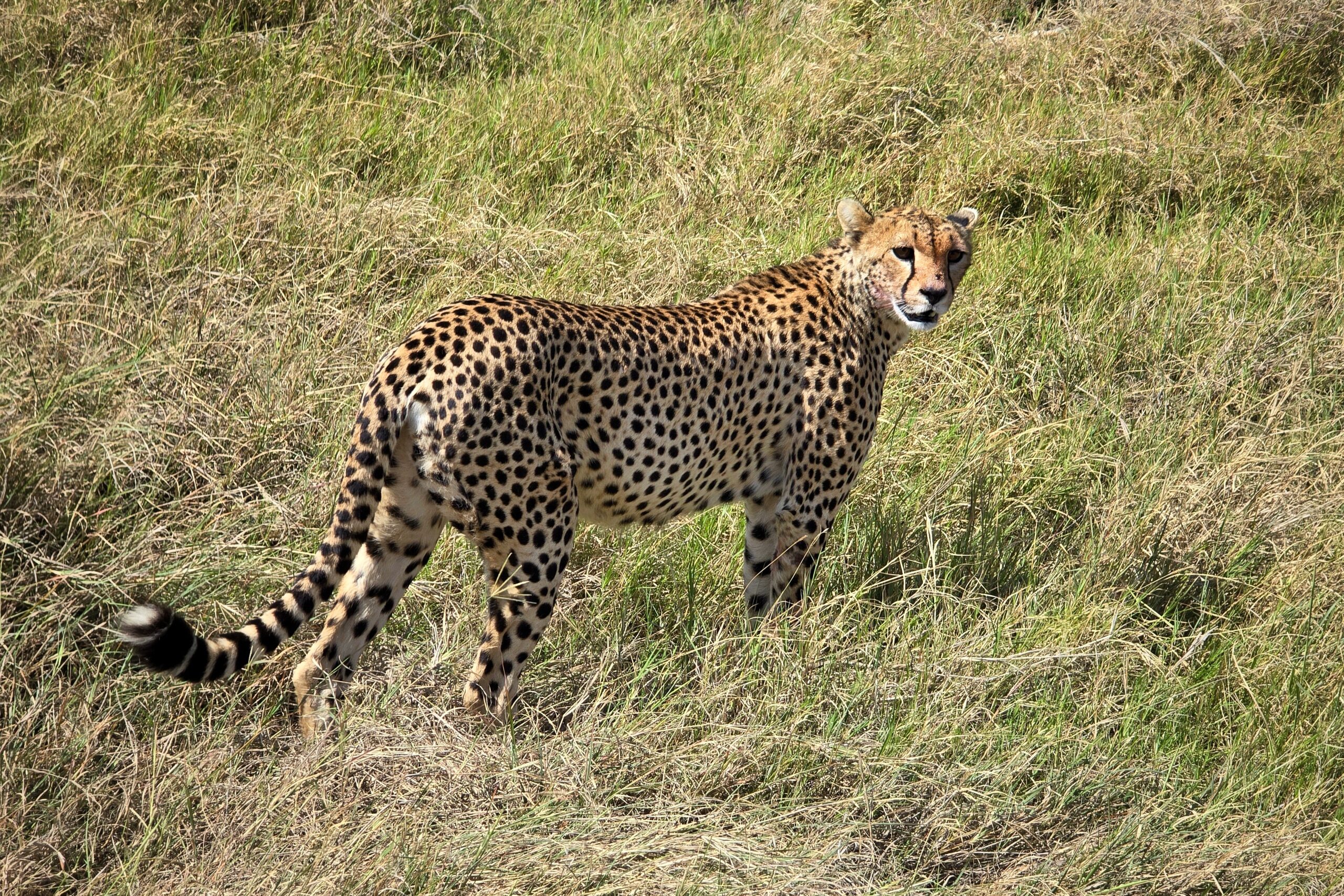
Not as great for camouflage
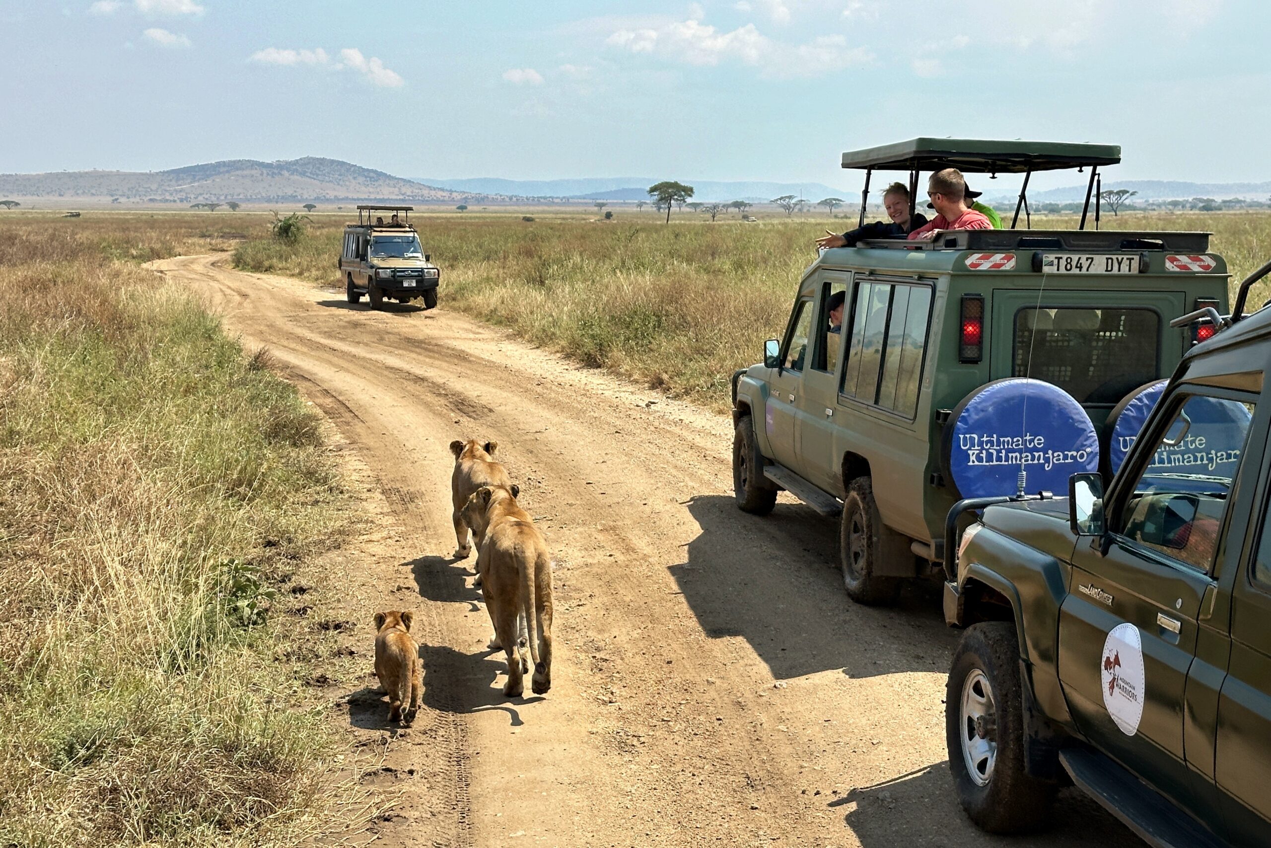
After our cheetah encounter, we turned around and headed toward a nearby road where a pair of lions were spotted. Along the way, Juma’s truck got stuck in the mud for the (aforementioned) second time.
Serengeti roundabout
Approaching the lions, the male was taking it easy, but female lion got up and started walking down the road. At first we thought she was pregnant, but then a cub appeared and followed behind her. We followed them down the road for a while. The mom kept getting farther ahead from the cub who looked a bit worse for wear. He found a shady spot under a tree and took a nap while mom probably left him behind for good, er, I mean definitely waited up for the cub a bit further ahead.
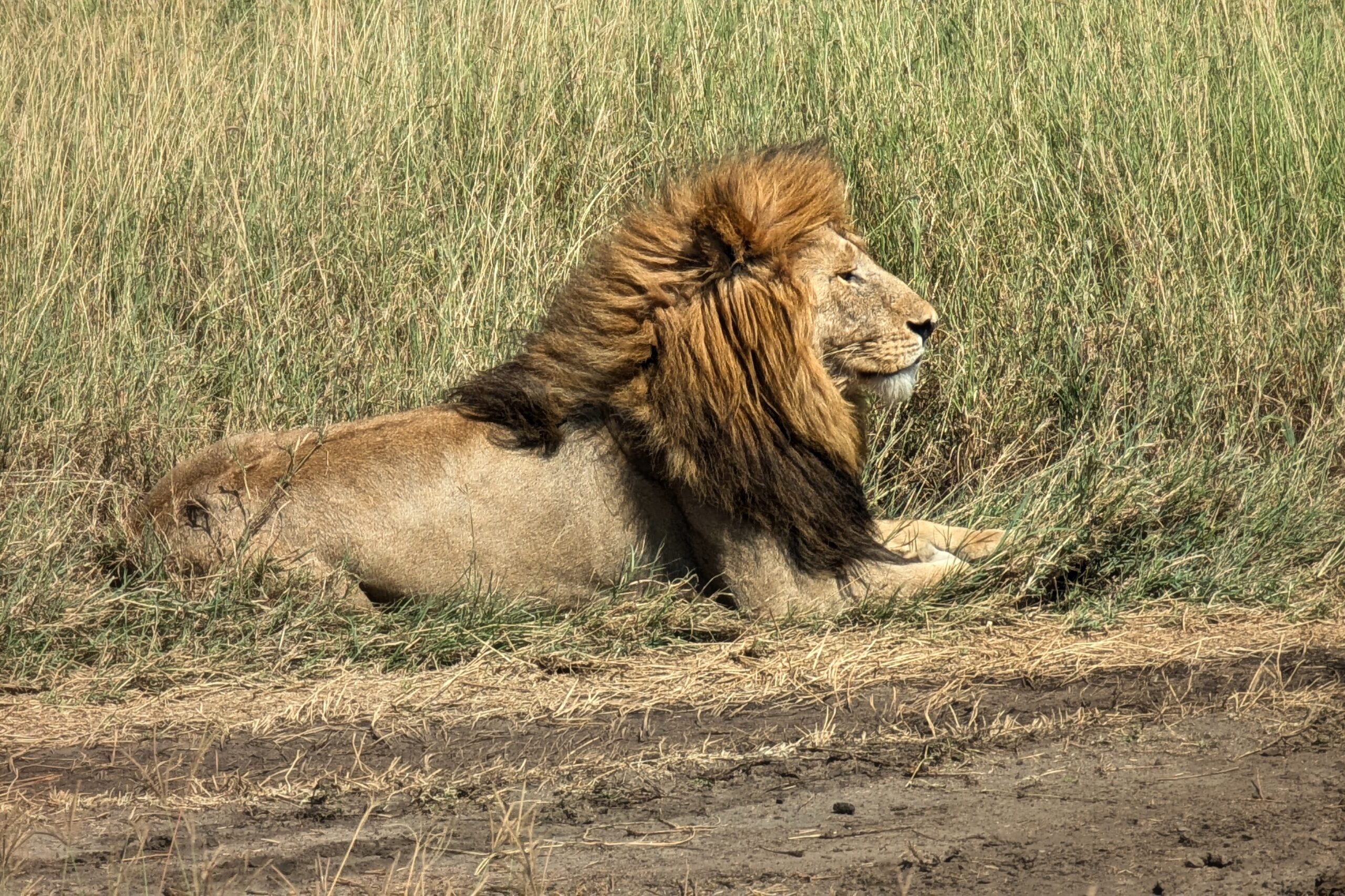
Chill lion
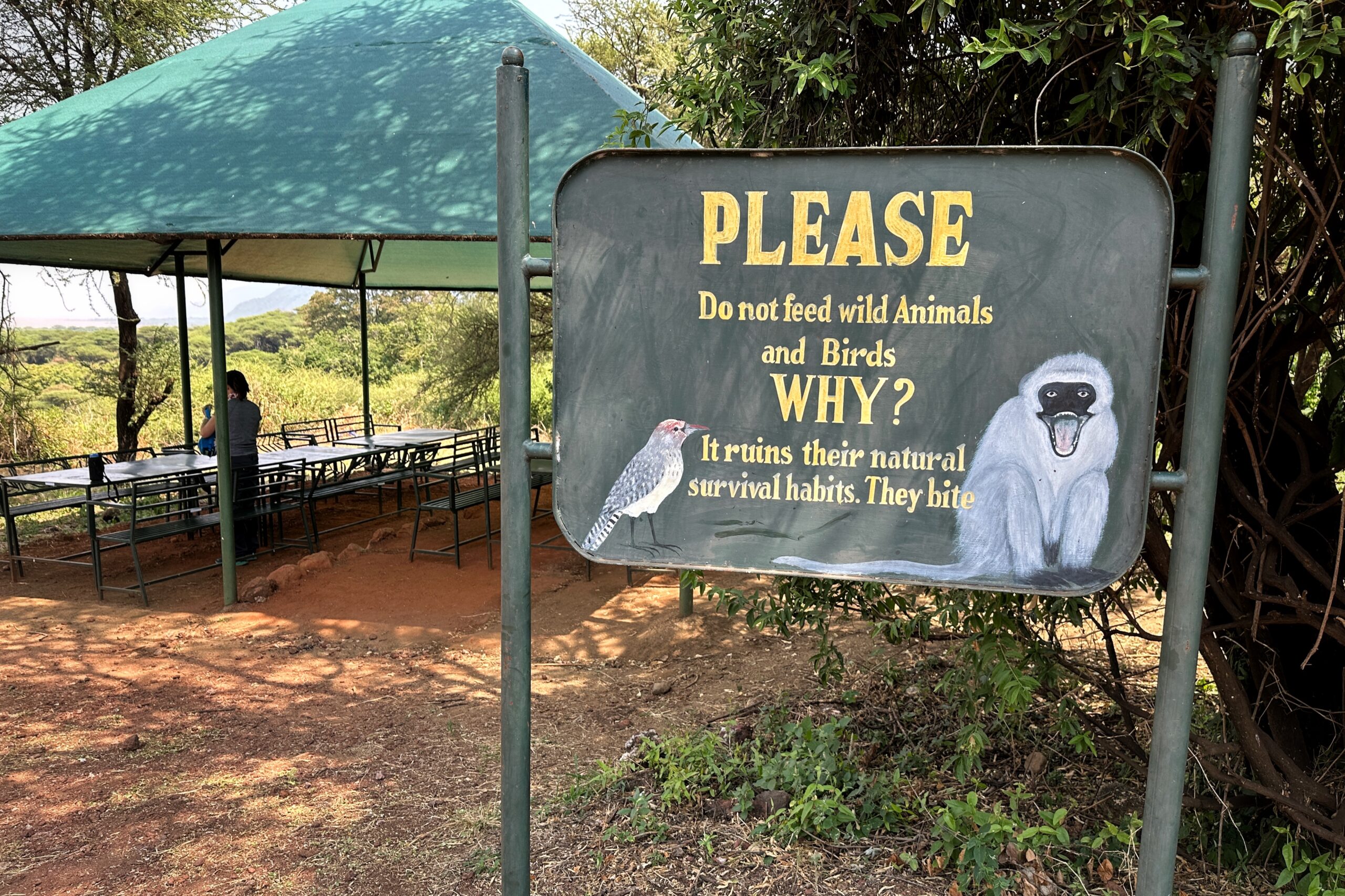
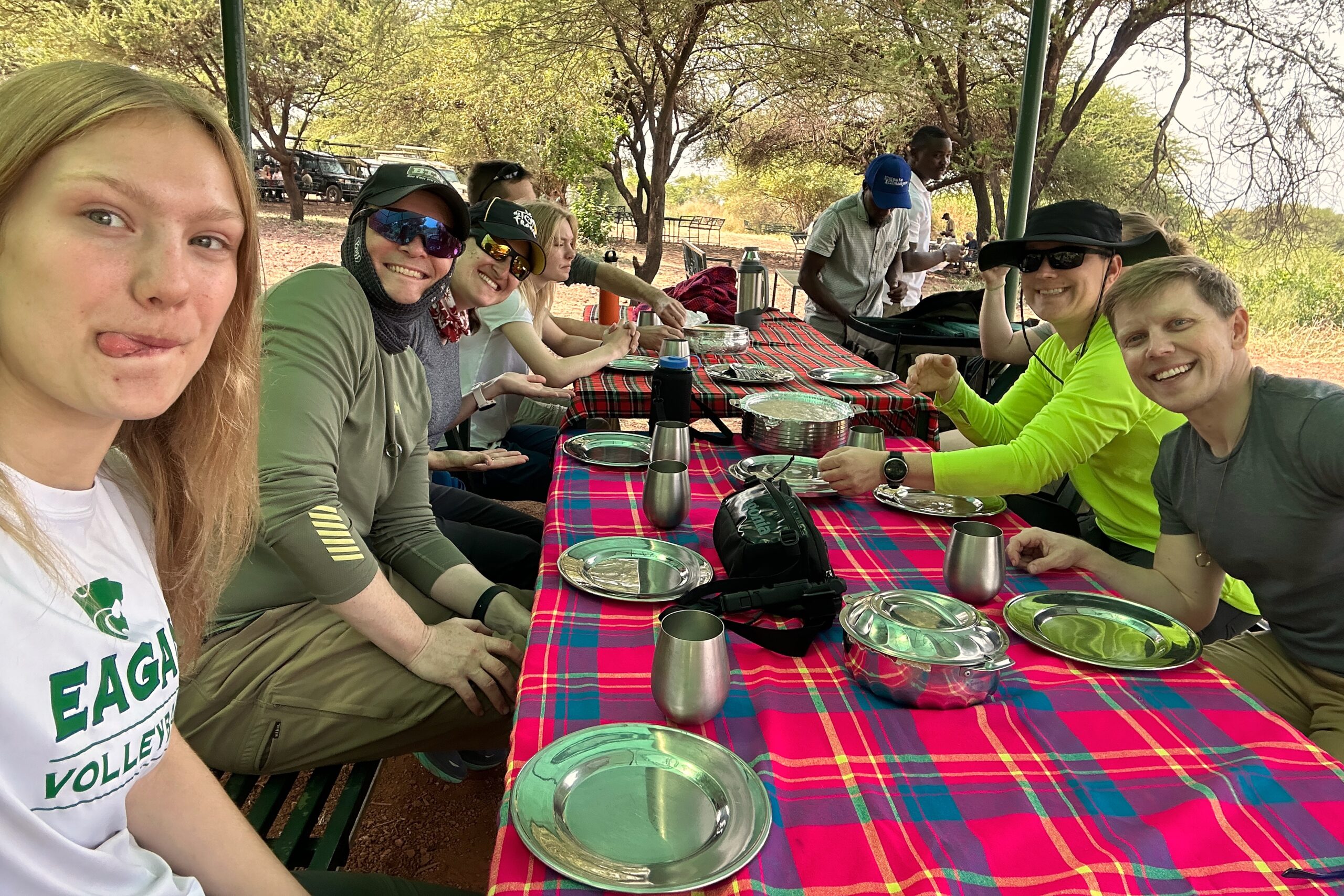
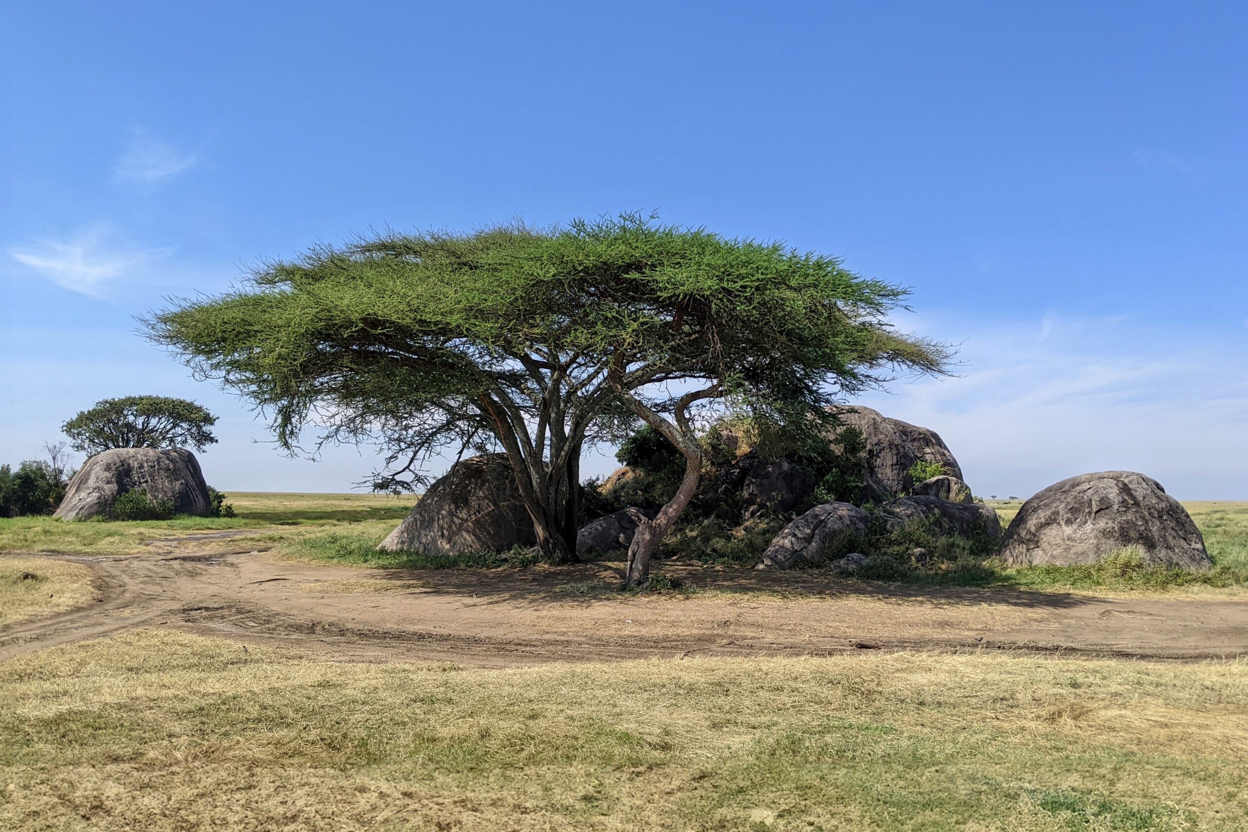
Next, it was lunch time. We were pretty far from the visitor center, so we had a picnic in the bush. While we were technically in lion country, our biggest predators were all the little scavenger birds surrounding us.
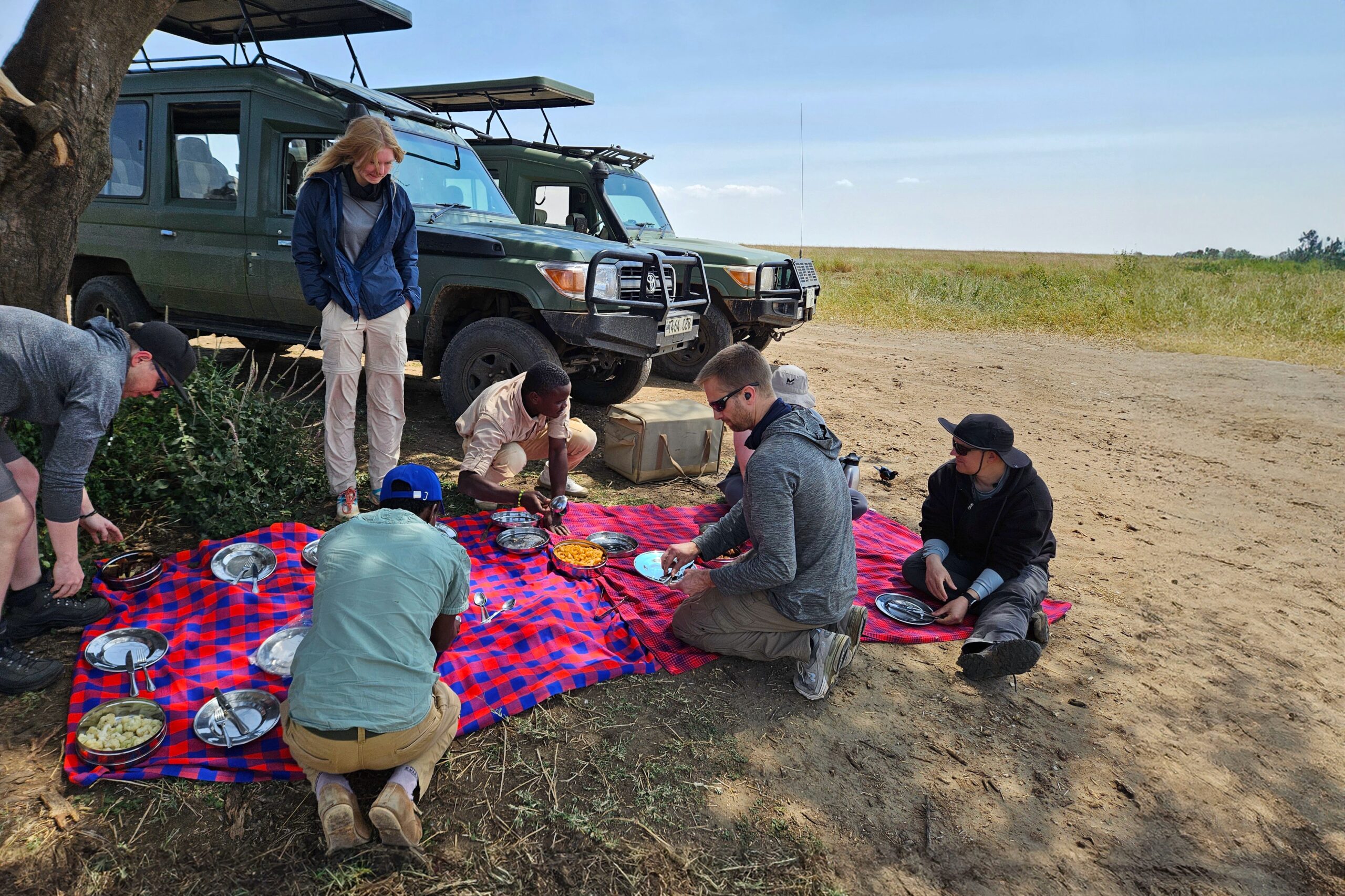
Lunch spot. Look out for wildlife (mostly birds)
After lunch, we decided to head back to camp rather than spend another couple hours on the game drive. (For more on this wise decision, see yesterday’s hot take on post-lunch game drives) We were all a bit full, hot, & sleepy, BUT the best argument to return was that our “big cat day” objective was already 100% mission accomplished. Then — to add a cherry on top — we also caught a quick glimpse of a family of servals on the way back. These cats are small and sneaky, so we didn’t get that great a look, but a fitting addition our cat day lineup, nonetheless.
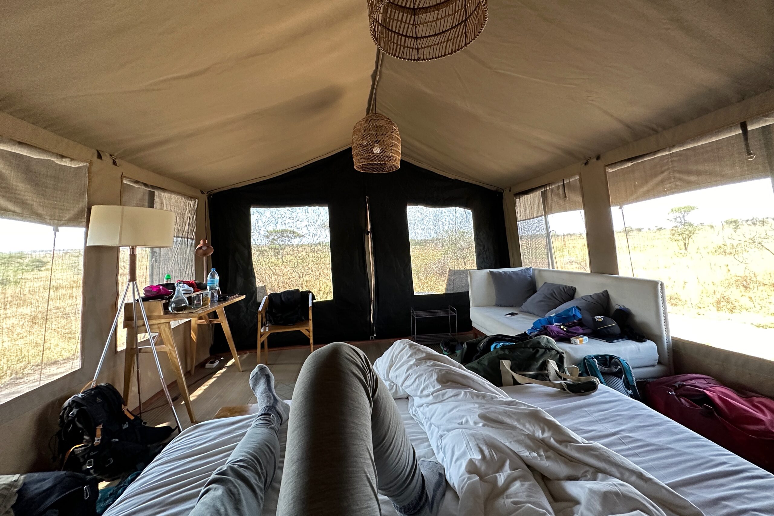
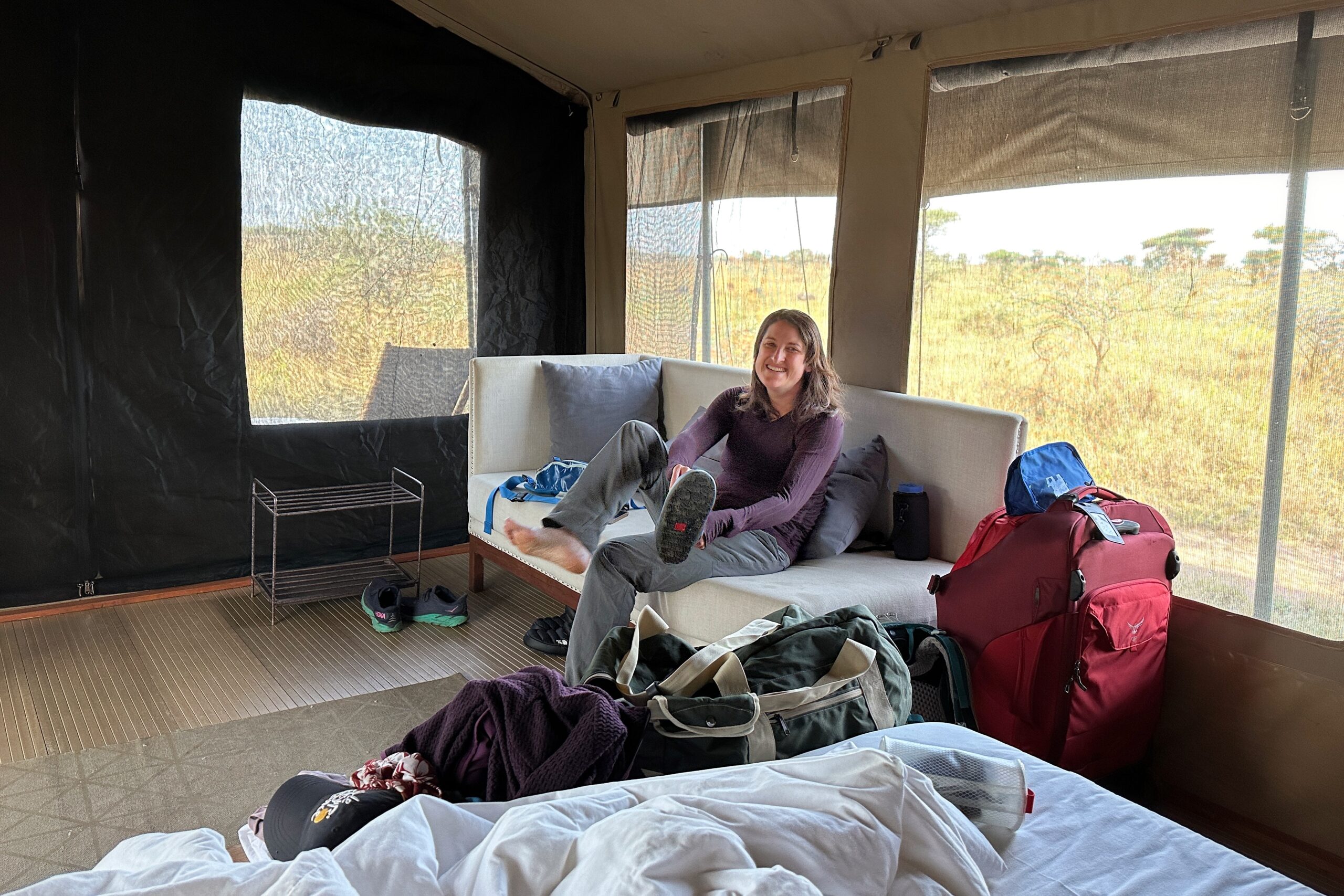
Arriving back to Nyumbani Lodge at around 3pm, we dispersed to our tents to relax and re-organize our stuff for tomorrow’s departure. Matt was awake and feeling steady enough to get up, but had zero appetite for anything. We both took it easy on our front porch and watched as water buffalo and giraffes milled about in the plains in front of us. Both Juma and Mkaka stopped by to check on Matt’s status, which was very nice of them. Juma is awesome.
Not a bad view if you have to rest all day
Back with all the big cat stories!
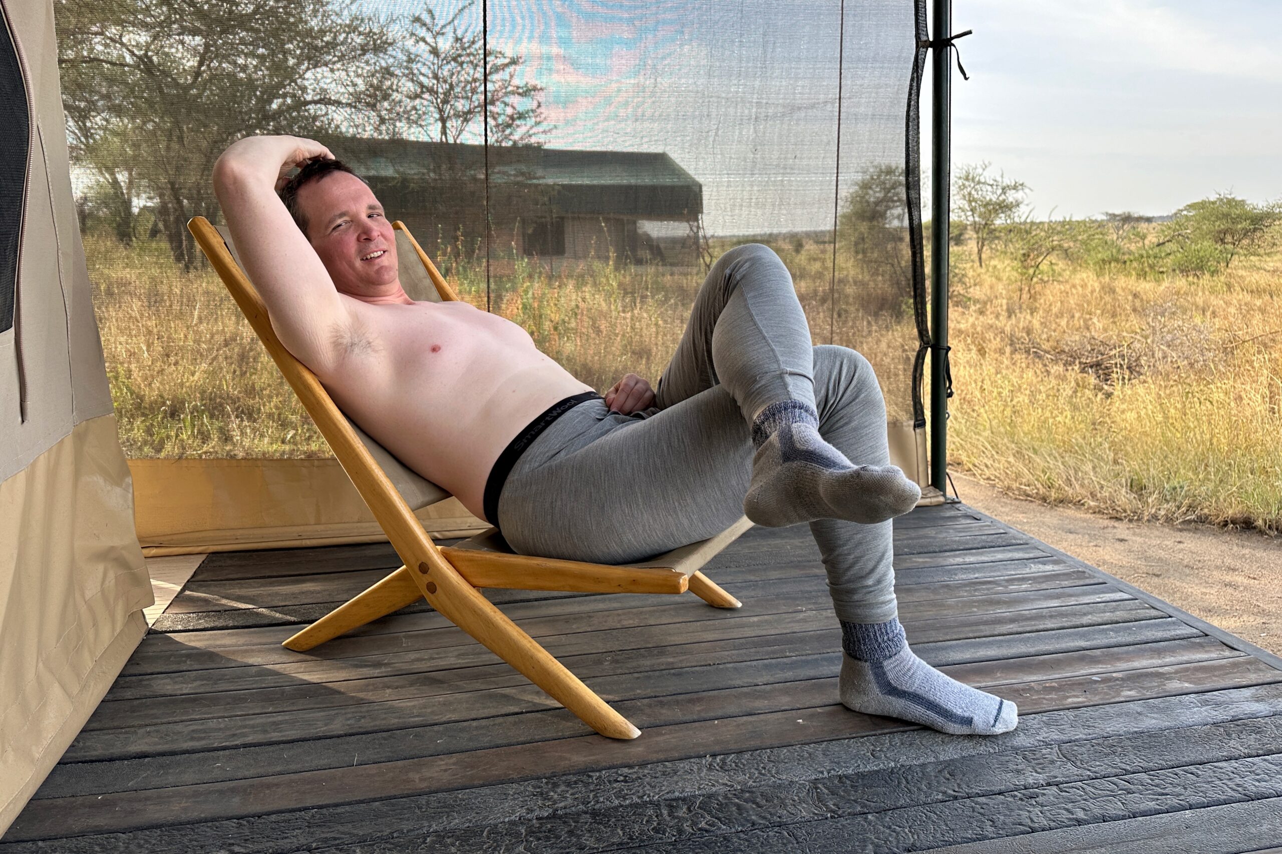
Recovering on the porch
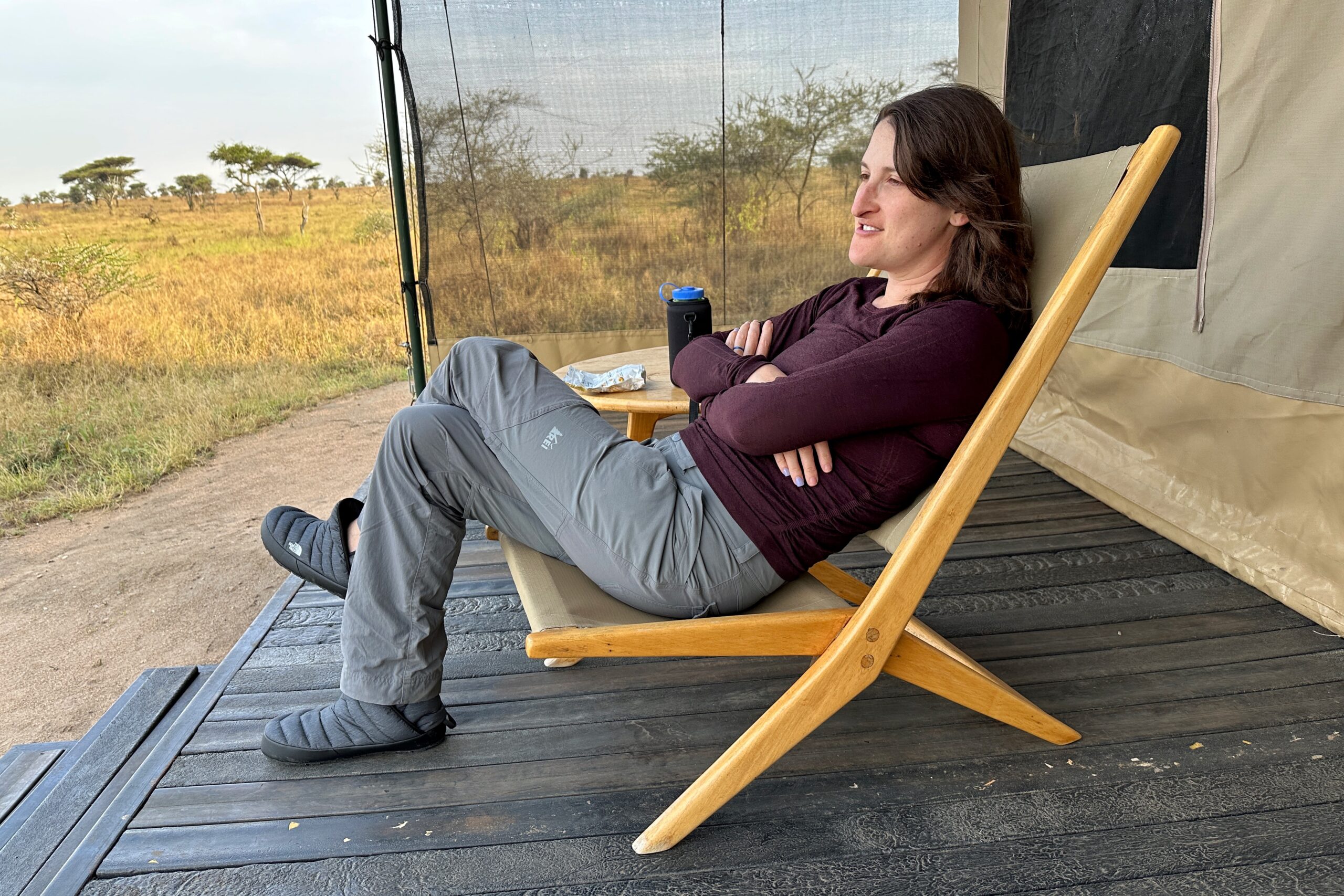
Chilling on the porch
By dinnertime, Matt was feeling good enough to at least rejoin the rest of the group. We dialed up our security team and walked to the dining tent as the sun was setting over our last evening in the Serengeti. Commence timelapse photography! (or at least a couple attempts)
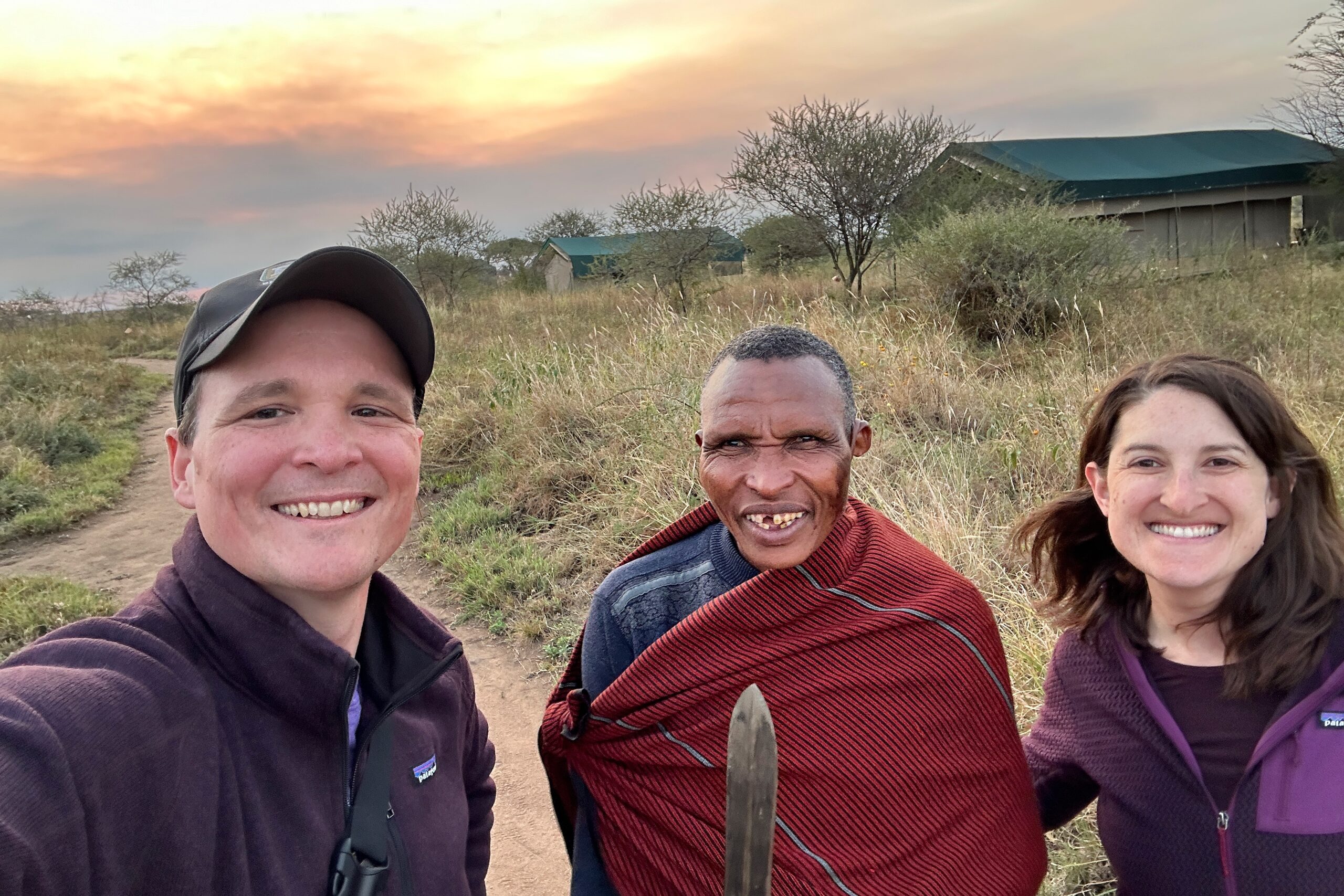
Our escort to diner
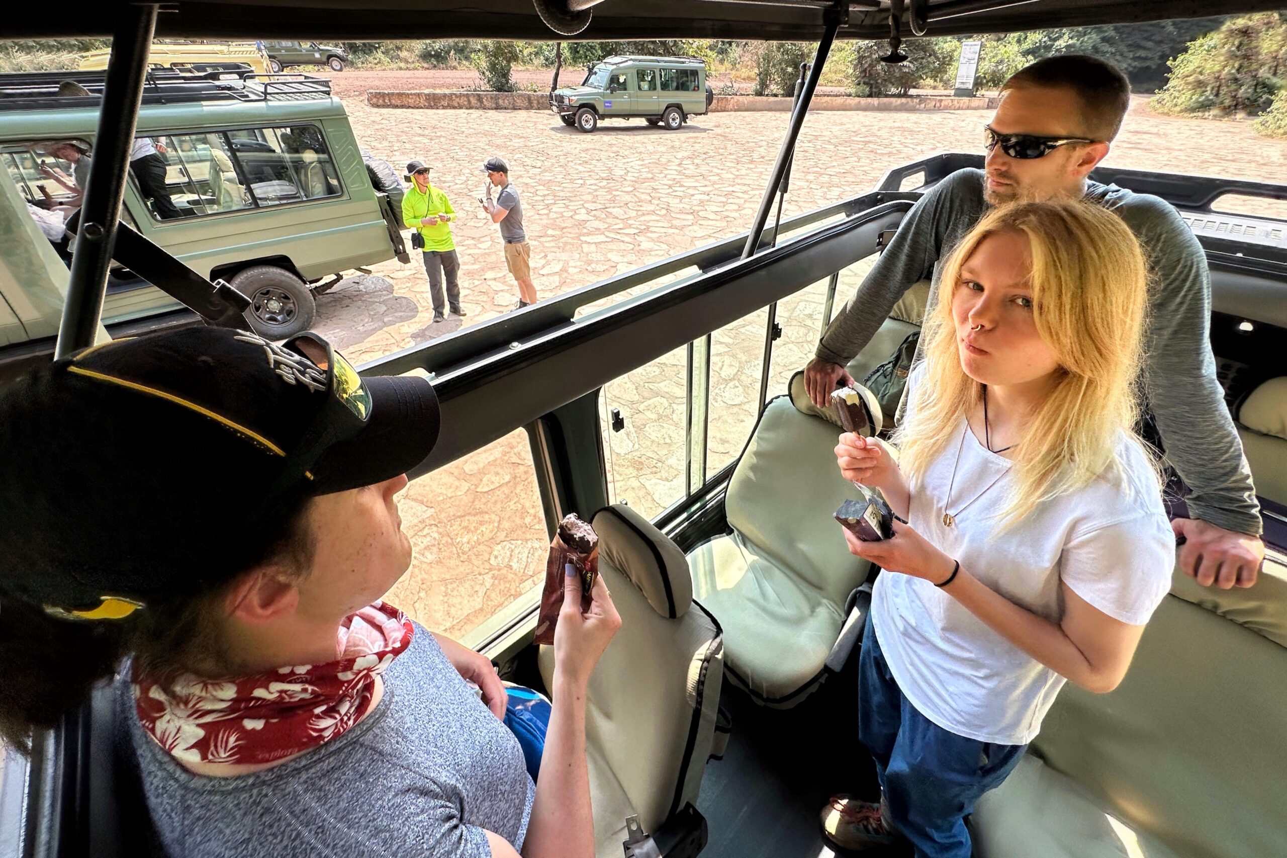
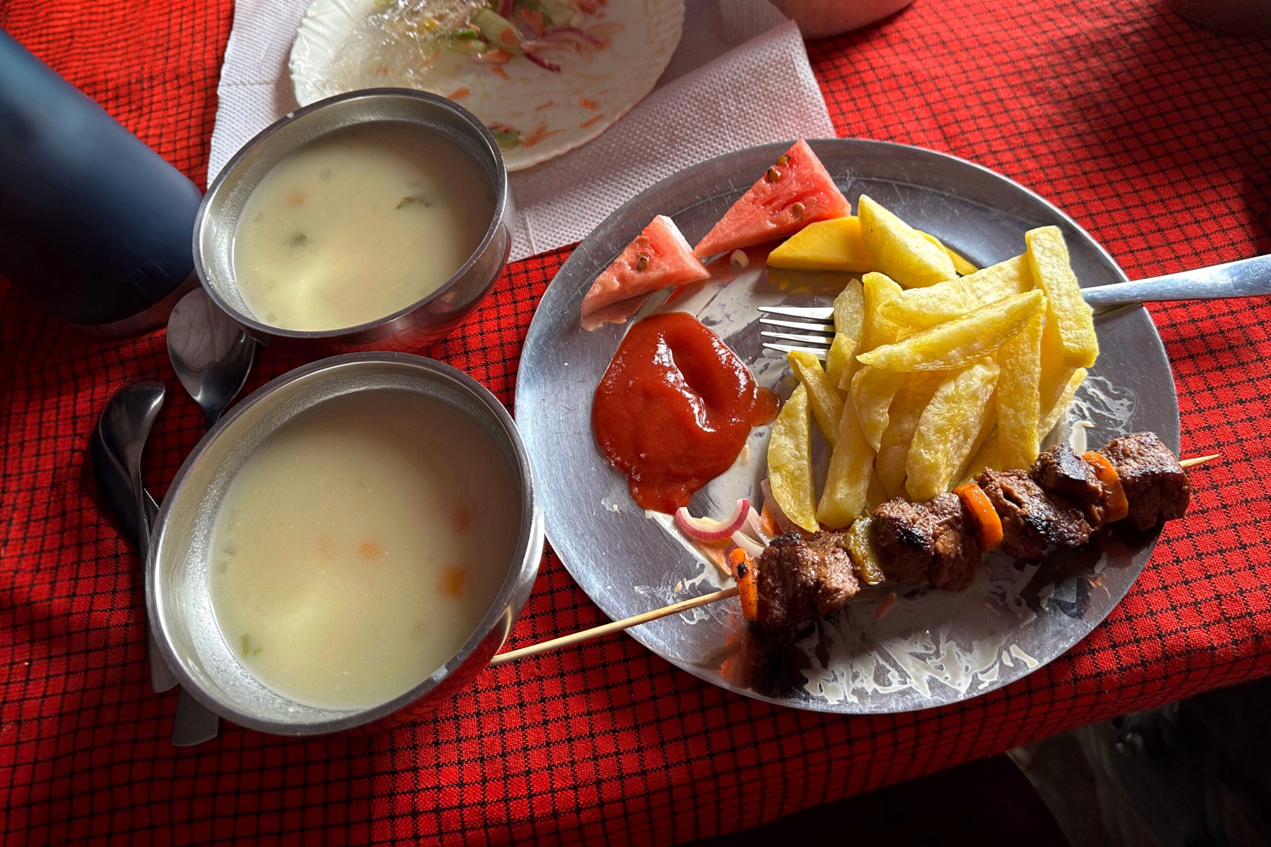
Dinner was delicious as always — soup, pork chops with vegetable rice, carrots and broccoli — but after giving the soup and carrots his best shot, Matt stuck with a simple scoop of white rice. Best not to derail the day’s recovery. Not even that chocolate ice cream they offered at lunchtime sounded good to him yet. But wait, “did you just say something about Chocolate ice cream?” inquired Lily and Melanie. And thus, at least some of us finally enjoyed that chocolate ice cream. Hooray!
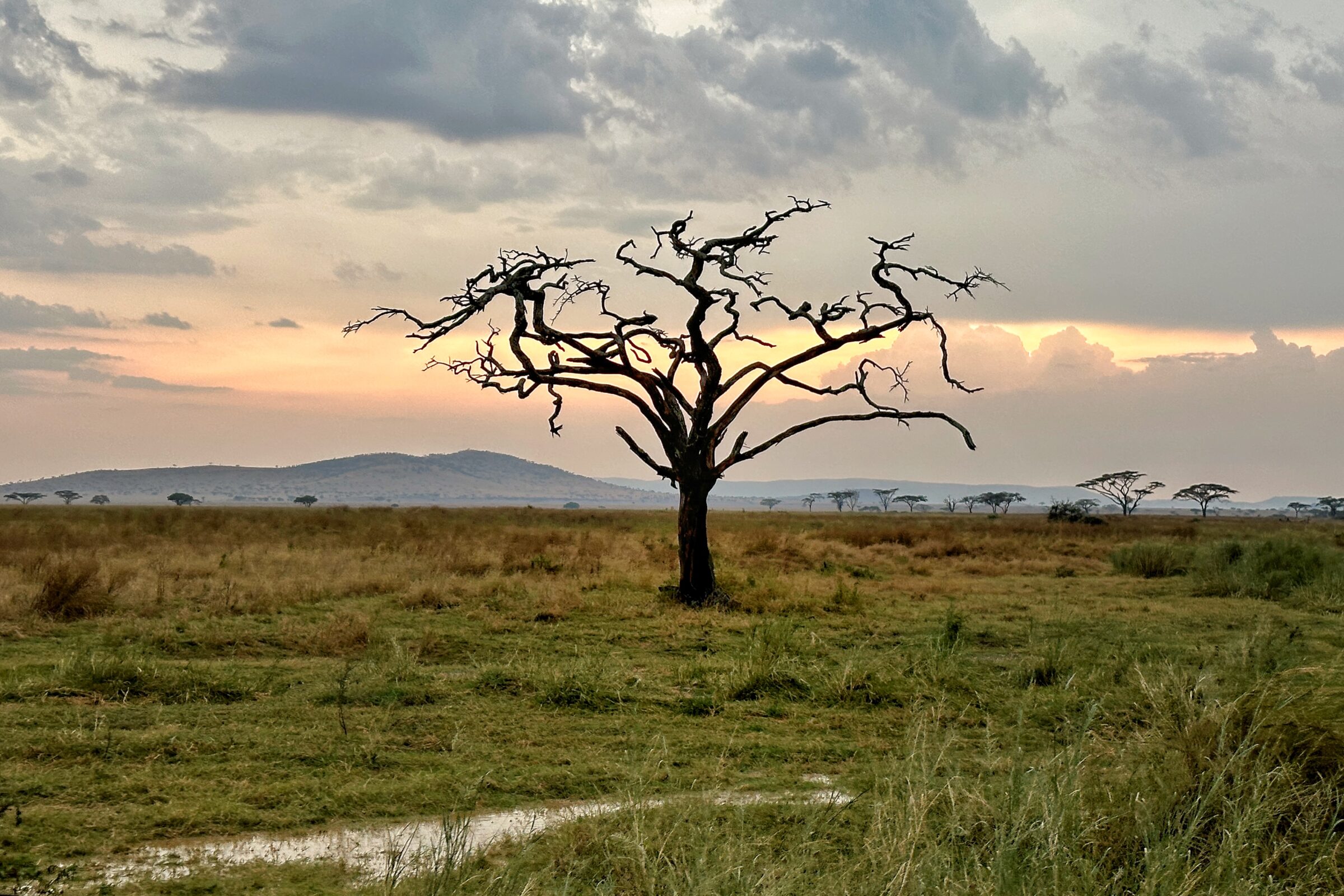
Tomorrow we leave the Serengeti and head back toward Ngorongoro Crater. The drive will take several hours, so an early morning start is planned. With this in mind, Mkaka and Dickson accompanied us back to our tent and we wasted no time going to sleep. By the way, that red light lantern we bought for this trip is great! A+ trip gadget.
PS. Animals seen today:
- Water Buffalo
- Hyrax Colony
- Leopard (on ground 10 mins from camp!)
- Heartebeest
- Spotted Hyena
- Gazelles
- Ostrich
- Secretary Bird
- Elephants 🐘
- Black-Striped Jackal
- Cheetah (by her fresh kill)
- Lions 🦁
- Servals
- Warthog
- Common Eland (aka. biggest kind of Antelope)